2000s (21st Century) Maps of Haralson County, Georgia
Explore 56 historic maps of Haralson County from the 2000s (21st Century). These maps offer a rare glimpse into what life looked like during the 2000s — showing old roads, neighborhoods, homes, and landmarks that have changed or disappeared over time.
Whether you're researching your family's past, planning a metal detecting trip, or studying how Haralson County's landscape evolved across the 2000s, these high-resolution maps are a powerful tool for exploring the history of this region.
- Focus on a specific era: All maps on this page are from the 2000s, giving you a focused view of this time period.
- See what’s changed: Compare century-old streets, trails, and buildings to today's modern landscape using overlays and satellite layers.
- Research with precision: Use these maps for genealogy, historical research, land use analysis, or educational projects.
- View, download, or print: Maps are fully viewable online in high resolution, and can be downloaded or printed for your own records.
Start exploring Haralson County's history through authentic maps from the 2000s. This is your window into the past.
Haralson County, GA maps
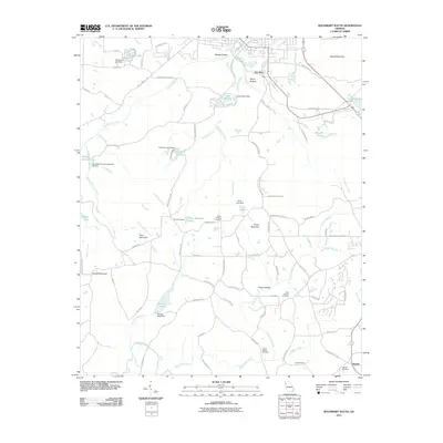
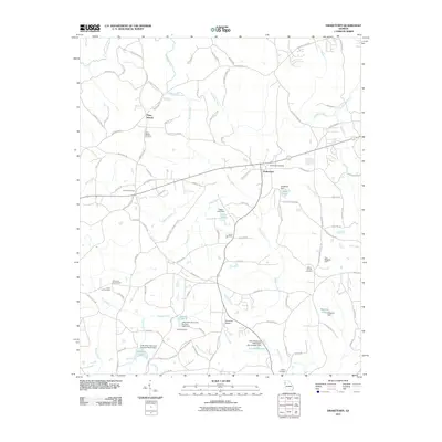
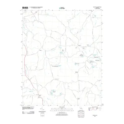
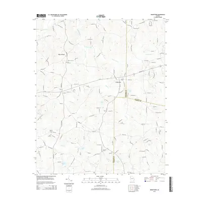
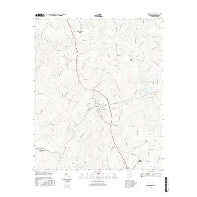
(56)- 2001 Map of Borden Springs, 2004 Print
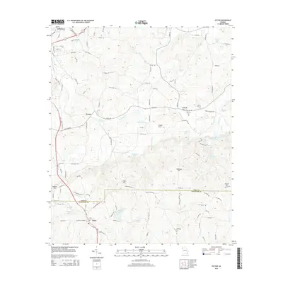
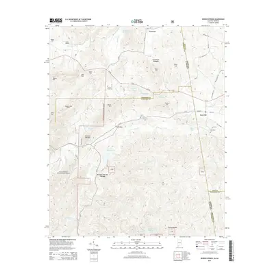
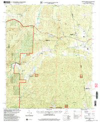 2001 Borden Springs2004 Print · USGSThe Alabama and Georgia state line meets at the turn of the millennium in this detailed survey of the Cleburne and Polk county borderlands. Genealogists and historians can trace old homesteads and local landmarks like Tecumseh Furnace, New Bethel Ch, and Borden Springs.
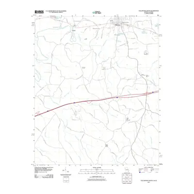
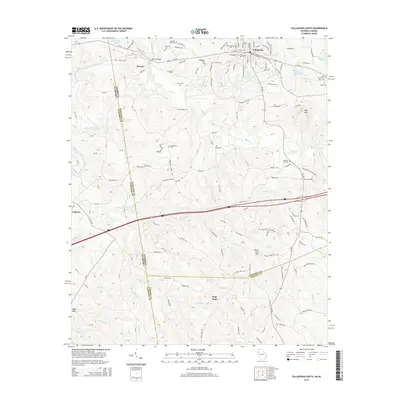
 - 2011 Map of Tallapoosa North, 2011 Print
 2011 Tallapoosa North2011 Print · USGSCovers Haralson County, including Tallapoosa, Poplar Springs, and other nearby areas
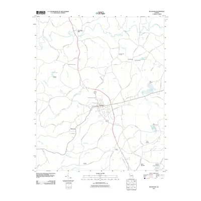
 - 2011 Map of Temple, 2011 Print
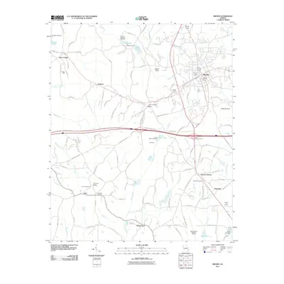
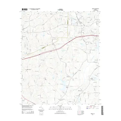
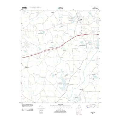 2011 Temple2011 Print · USGSCovers Haralson County, including Carrollton, Bremen, and other nearby areas
 - 2011 Map of Rockmart South, 2011 Print
 2011 Rockmart South2011 Print · USGSCovers Haralson County, including Rockmart, Van Wert, and other nearby areas
 - 2011 Map of Draketown, 2011 Print
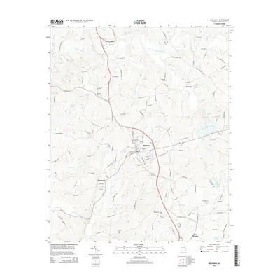
 2011 Draketown2011 Print · USGSCovers Haralson County, including Draketown, Temple, and other nearby areas
 - 2011 Map of Tallapoosa South, 2011 Print
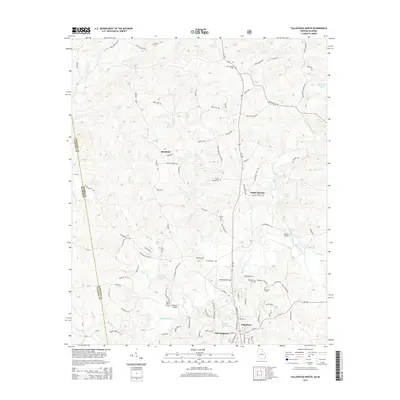
 2011 Tallapoosa South2011 Print · USGSCovers Haralson County, including Tallapoosa, Hooper, and other nearby areas
 - 2011 Map of Benedict, 2011 Print
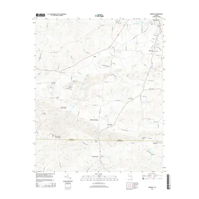
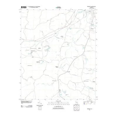 2011 Benedict2011 Print · USGSCovers Haralson County, including Cedartown, Akes, and other nearby areas
 - 2011 Map of Buchanan, 2011 Print
 2011 Buchanan2011 Print · USGSCovers Haralson County, including Tallapoosa, Buchanan, and other nearby areas
 - 2011 Map of Felton, 2011 Print
 2011 Felton2011 Print · USGSCovers Haralson County, including Cedartown, Antioch, and other nearby areas
 - 2011 Map of Bremen, 2011 Print
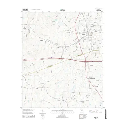
 2011 Bremen2011 Print · USGSCovers Haralson County, including Bremen, Tallapoosa, and other nearby areas
 - 2011 Map of Borden Springs, 2011 Print
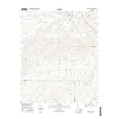
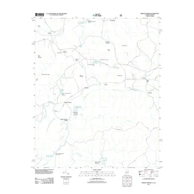 2011 Borden Springs2011 Print · USGSCovers Haralson County, including Borden Wheeler Springs, Borden Springs, and other nearby areas
 - 2011 Map of Oak Level, 2011 Print
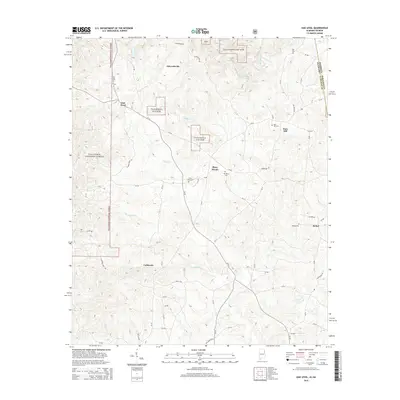
 2011 Oak Level2011 Print · USGSCovers Haralson County, including Mars Hill, Piney Woods, and other nearby areas
 - 2014 Map of Draketown, 2014 Print
 2014 Draketown2014 Print · USGSCovers Haralson County, including Draketown, Temple, and other nearby areas
 - 2014 Map of Temple, 2014 Print
 2014 Temple2014 Print · USGSCovers Haralson County, including Carrollton, Bremen, and other nearby areas
 - 2014 Map of Benedict, 2014 Print
 2014 Benedict2014 Print · USGSCovers Haralson County, including Cedartown, Akes, and other nearby areas
 - 2014 Map of Buchanan, 2014 Print
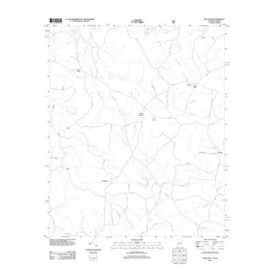
 2014 Buchanan2014 Print · USGSCovers Haralson County, including Tallapoosa, Buchanan, and other nearby areas
 - 2014 Map of Tallapoosa South, 2014 Print
 2014 Tallapoosa South2014 Print · USGSCovers Haralson County, including Tallapoosa, Hooper, and other nearby areas
 - 2014 Map of Felton, 2014 Print
 2014 Felton2014 Print · USGSCovers Haralson County, including Cedartown, Antioch, and other nearby areas
 - 2014 Map of Bremen, 2014 Print
 2014 Bremen2014 Print · USGSCovers Haralson County, including Bremen, Tallapoosa, and other nearby areas
 - 2014 Map of Tallapoosa North, 2014 Print
 2014 Tallapoosa North2014 Print · USGSCovers Haralson County, including Tallapoosa, Poplar Springs, and other nearby areas
 - 2014 Map of Rockmart South, 2014 Print
 2014 Rockmart South2014 Print · USGSCovers Haralson County, including Rockmart, Van Wert, and other nearby areas
 - 2014 Map of Oak Level, 2014 Print
 2014 Oak Level2014 Print · USGSCovers Haralson County, including Mars Hill, Piney Woods, and other nearby areas
 - 2014 Map of Borden Springs, 2014 Print
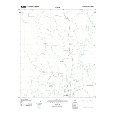
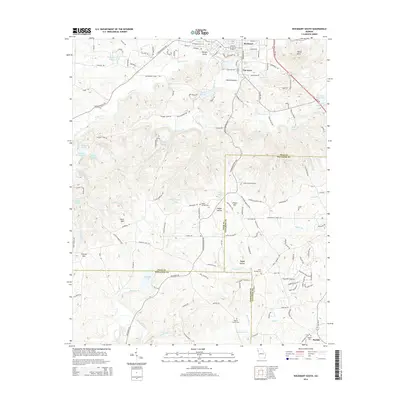
 2014 Borden Springs2014 Print · USGSCovers Haralson County, including Borden Wheeler Springs, Borden Springs, and other nearby areas
 - 2017 Map of Rockmart South, 2017 Print
 2017 Rockmart South2017 Print · USGSCovers Haralson County, including Rockmart, Van Wert, and other nearby areas
 - 2017 Map of Buchanan, 2017 Print
 2017 Buchanan2017 Print · USGSCovers Haralson County, including Tallapoosa, Buchanan, and other nearby areas
Showing maps 1-25 of 56
Top cities of Haralson County
Frequently asked questions
- What are the different types of historical maps available for Haralson County?
- What is the oldest map of Haralson County?
- Where can I purchase historical maps of Haralson County for my home or office?
- Where can I download high-res historical maps of Haralson County?
- Are there historical topographic maps available for Haralson County?
- Is there historical aerial imagery available for Haralson County?
- Where are historical maps of Haralson County sourced from?