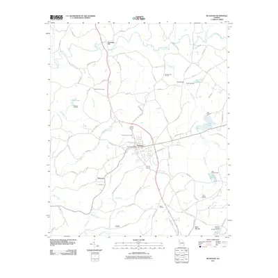
2011 Map of Buchanan
USGS Topo · Published 2011About this map
Buchanan serves as the central hub of this West Georgia landscape, where modern transit corridors intersect a deep-rooted rural topography. The area is defined by the winding course of the Tallapoosa River to the north and a dense network of creeks including Cochran Creek, Little River, and Holcomb Creek. Local history is anchored by several long-standing burial grounds such as Mount Vernon Cemetery, Tallapoosa East Cemetery, and the Buchanan City Cemetery.
Find a feature on this map
90 named features on this map. Tap any name to fly to it.
Don’t see what you’re looking for? This feature index may not catch every label — zoom into the map to look around manually.
Map Details
Editions of this 2011 Buchanan Map
This is the sole edition of this map. No revisions or reprints were ever made.
Other maps of this area

1889 · Tallapoosa
USGS Topo · 1:125,000

1892 · Tallapoosa
USGS Topo · 1:125,000

1897 · Tallapoosa
USGS Topo · 1:125,000

1953 · Atlanta
USGS Topo · 1:250,000

1957 · Atlanta
USGS Topo · 1:250,000

1958 · Atlanta
USGS Topo · 1:250,000

1958 · Carrollton
USGS Topo · 1:62,500

1958 · Buchanan
USGS Topo · 1:62,500

1965 · Tallapoosa South
USGS Topo · 1:24,000

1966 · Tallapoosa North
USGS Topo · 1:24,000