2010s Maps of Haralson County, Georgia
Explore 33 historic maps of Haralson County from the 2010s. These maps offer a rare glimpse into what life looked like during the 2010s — showing old roads, neighborhoods, homes, and landmarks that have changed or disappeared over time.
Whether you're researching your family's past, planning a metal detecting trip, or studying how Haralson County's landscape evolved across the 2010s, these high-resolution maps are a powerful tool for exploring the history of this region.
- Focus on a specific era: All maps on this page are from the 2010s, giving you a focused view of this time period.
- See what’s changed: Compare century-old streets, trails, and buildings to today's modern landscape using overlays and satellite layers.
- Research with precision: Use these maps for genealogy, historical research, land use analysis, or educational projects.
- View, download, or print: Maps are fully viewable online in high resolution, and can be downloaded or printed for your own records.
Start exploring Haralson County's history through authentic maps from the 2010s. This is your window into the past.
Haralson County, GA maps
(33)- 2011 Map of Tallapoosa North, 2011 Print
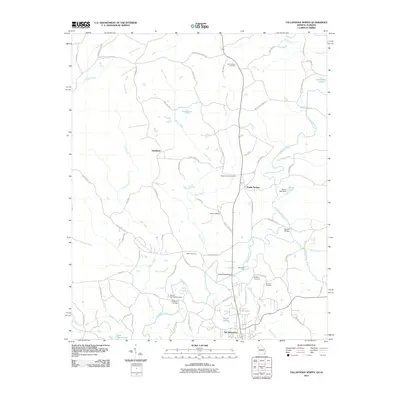 2011 Tallapoosa North2011 Print · USGSThe Georgia-Alabama borderlands come into focus in the early twenty-first century, centered on the historic river crossings and rural communities near Old Tallapoosa. Genealogists can trace family roots through sites like New Canaan Cemetery and Steadman, or locate old transit points such as Rainwater Ford and McBride Bridge.
 - 2011 Map of Temple, 2011 Print
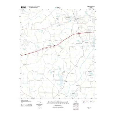 2011 Temple2011 Print · USGSTemple and its surrounding Carroll County countryside are shown here in the early twenty-first century, revealing a landscape of family cemeteries and managed waterways. Genealogists and local historians can locate Miller Academy, the Old Concord Cemetery, and Wilson International Airport.
 - 2011 Map of Rockmart South, 2011 Print
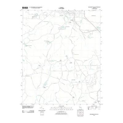 2011 Rockmart South2011 Print · USGSNear the turn of the twenty-first century, this Polk County landscape reflects a deep rural heritage alongside new recreational paths like the Silver Comet Trl. Genealogists can trace family roots at Beulah Cemetery and Maple Springs Cemetery or locate old community centers like Van Wert.
 - 2011 Map of Draketown, 2011 Print
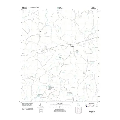 2011 Draketown2011 Print · USGSDraketown and the surrounding Georgia countryside are shown in this modern survey of the Tallapoosa headwaters. Genealogists can trace family roots through numerous burial sites like Piney Woods Cemetery and Ward Cemetery or locate landmarks like Ayresouth Airport.
 - 2011 Map of Tallapoosa South, 2011 Print
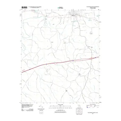 2011 Tallapoosa South2011 Print · USGSThe Georgia-Alabama borderlands at the start of the 2010s show a blend of river-centered settlement and upland peaks. Researchers can trace local genealogy and industry through the Royal-Vindicator Mine, Bently Bridge, and the Providence Cemetery.
 - 2011 Map of Benedict, 2011 Print
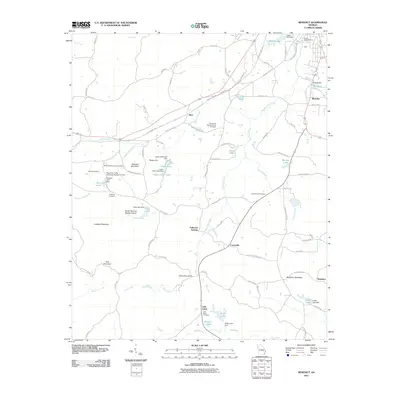 2011 Benedict2011 Print · USGSWestern Georgia at the start of the 2010s reveals a quiet landscape of mountain ridges and rural creek valleys. Genealogists and historians can trace family ties at Little Creek Cemetery or locate historical industry at Woodward Mine and Benedicts Mill.
 - 2011 Map of Buchanan, 2011 Print
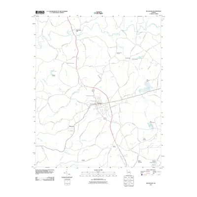 2011 Buchanan2011 Print · USGSHaralson County at the start of the twenty-first century maintains its rural character even as the road network expands around Buchanan. Genealogists and local historians can trace family roots through numerous sites like Abernathys Mill, Posey Memory Gardens, and Bethel Cemetery.
 - 2011 Map of Felton, 2011 Print
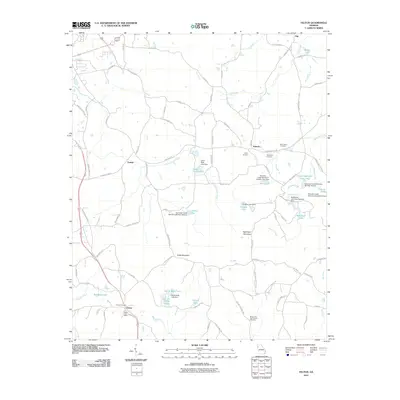 2011 Felton2011 Print · USGSNorthwest Georgia's rural character is captured here in the early twenty-first century, showing the small communities and complex watersheds of Polk County. Researchers can locate family landmarks like Felton Cemetery, the Felton Post Office, and Saint Johns Cemetery.
 - 2011 Map of Bremen, 2011 Print
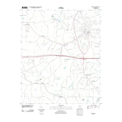 2011 Bremen2011 Print · USGSBremen and Waco are captured in the early 2000s, showing a Georgia landscape where rail history meets modern aviation. Researchers can trace local lineages at Antioch Cemetery, locate the old stop at Budapest, or explore the surroundings of Mount Zion.
 - 2011 Map of Borden Springs, 2011 Print
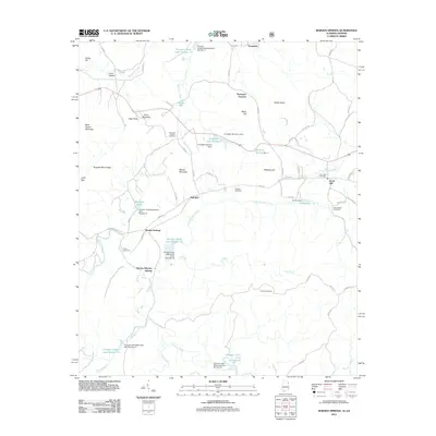 2011 Borden Springs2011 Print · USGSBorden Wheeler Springs and the Alabama-Georgia borderlands are captured here in the early twenty-first century as a landscape of managed waters and old furnace sites. Genealogists and local historians can trace family roots at Antioch Cemetery or locate the site of the Tecumseh Furnace.
 - 2011 Map of Oak Level, 2011 Print
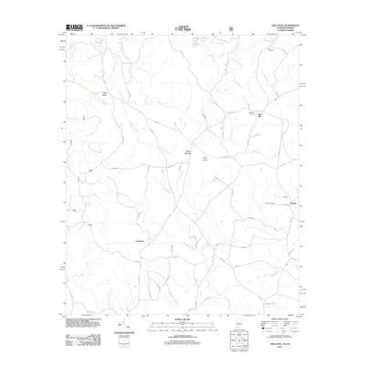 2011 Oak Level2011 Print · USGSCleburne County, Alabama, and the Georgia borderlands remain deeply rural in this early twenty-first-century survey. Genealogists can locate family burial sites at Mars Hill Cemetery and Roe Cemetery or trace old homesteads near Piney Woods and Oak Level.
 - 2014 Map of Draketown, 2014 Print
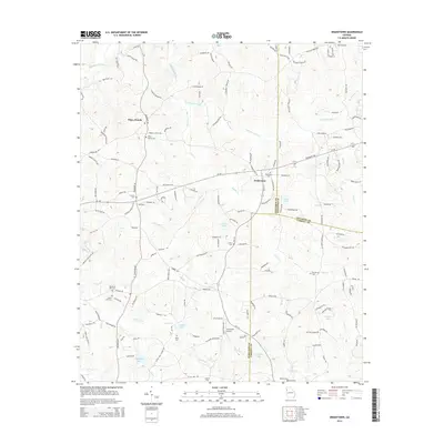 2014 Draketown2014 Print · USGSDraketown and the surrounding hills of Haralson County are shown here in the early twenty-first century as the area maintains its rural character. Researchers can trace family history through numerous landmarks like Piney Woods Cem, Haney Cem, and Ayresouth Airport.
 - 2014 Map of Temple, 2014 Print
 2014 Temple2014 Print · USGSIn the hills of West Georgia during the early twenty-first century, the communities of Temple and Abilene serve as anchors along the county line. Researchers can trace family history through numerous rural burial grounds like Asbury Cem and Shady Grove Cem, or locate landmarks such as Miller Academy.
 - 2014 Map of Benedict, 2014 Print
 2014 Benedict2014 Print · USGSThe borderlands of Polk and Haralson Counties are shown here during the early twenty-first century, just south of Cedartown. Researchers can trace family history through local landmarks like Shiloh Baptist Church Cem, Akes, and Dugdown Mtn.
 - 2014 Map of Buchanan, 2014 Print
 2014 Buchanan2014 Print · USGSHaralson County at the start of the 2010s reveals a landscape defined by the Tallapoosa River and the crossroads at Buchanan. Local historians can trace family ties at Abernathys Mill, Tabernacle, and numerous burial grounds like Bethel Cem.
 - 2014 Map of Tallapoosa South, 2014 Print
 2014 Tallapoosa South2014 Print · USGSThe Georgia and Alabama state line meets in this 2014 survey of the Tallapoosa area, revealing a landscape of family-named cemeteries and creek crossings. Trace local genealogy at Pleasant Hill Cem, explore Hooper, or follow the winding Tallapoosa River.
 - 2014 Map of Felton, 2014 Print
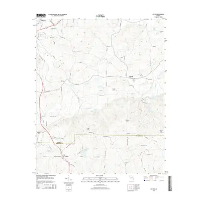 2014 Felton2014 Print · USGSThe Polk and Haralson county line intersects this rural Georgia landscape during the early 2010s. Genealogists and local historians can locate several family and community landmarks, including the Mt Zion E Church Cem, Saint Johns Cem, and the settlement of Antioch.
 - 2014 Map of Bremen, 2014 Print
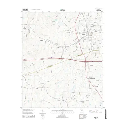 2014 Bremen2014 Print · USGSHaralson and Carroll counties are captured in the early twenty-first century as the region's transport and aviation infrastructure expanded. Researchers can trace family history through numerous landmarks like Antioch Cem, the settlement of Budapest, and the West Georgia Regional Airport-O V Gray Field.
 - 2014 Map of Tallapoosa North, 2014 Print
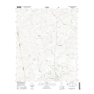 2014 Tallapoosa North2014 Print · USGSHaralson County and the Alabama borderlands come into focus during the early twenty-first century as the Tallapoosa River winds through the hills. Researchers can trace family history at Mt Zion W/Cem or locate the historic river crossings at Adderholds Bridge and McBride Bridge.
 - 2014 Map of Rockmart South, 2014 Print
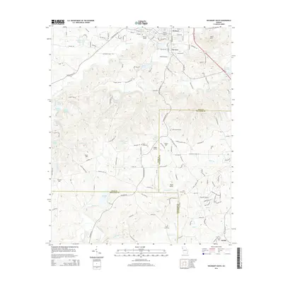 2014 Rockmart South2014 Print · USGSThe northern Georgia borderlands near the turn of the 21st century reveal a landscape of creek-side settlements and mountain ridges. Genealogists can find several historic burial sites, including Maple Springs Cem and Beulah Cem, while tracing old routes through Van Wert and Happy Hollow.
 - 2014 Map of Oak Level, 2014 Print
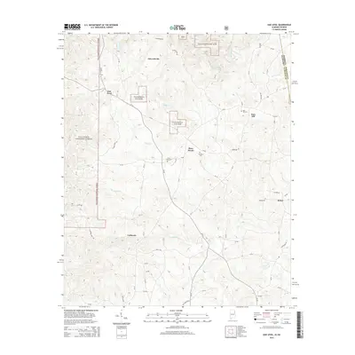 2014 Oak Level2014 Print · USGSCleburne County, Alabama, near the Georgia border, appears in this detailed 2014 survey of its upland forests and rural communities. Genealogists can trace family landmarks and burial sites like Mars Hill Cem, Roe Cem, and Bethel Cem.
 - 2014 Map of Borden Springs, 2014 Print
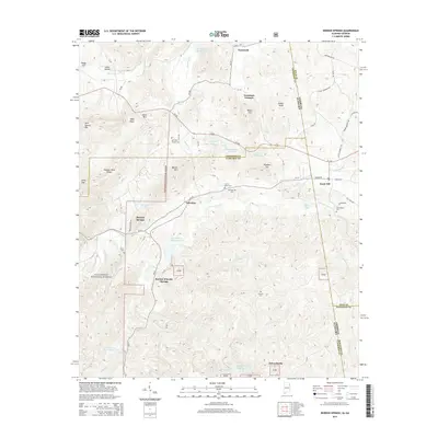 2014 Borden Springs2014 Print · USGSThe Alabama-Georgia borderlands near the Talladega National Forest come alive in this detailed record of rural industry and mountain life. Genealogists can locate family burial sites at Arrington Chapel Cem and Payne Cem while tracing the industrial heritage of Tecumseh Furnace.
 - 2017 Map of Rockmart South, 2017 Print
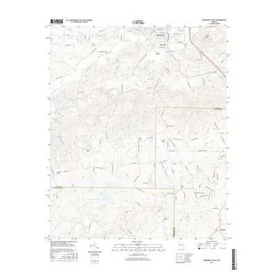 2017 Rockmart South2017 Print · USGSThe hill country south of Rockmart and Van Wert is captured in detail during the late twenty-teens. Researchers can trace rural cemeteries such as Holly Springs Cem and family-named landmarks like Everett Mtn and Morgan Valley.
 - 2017 Map of Buchanan, 2017 Print
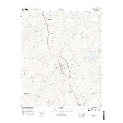 2017 Buchanan2017 Print · USGSHaralson County at the close of the 2010s reveals a landscape defined by the winding Tallapoosa River and its historical crossroads. Researchers can trace local lineage through several mapped burial sites including Mount Vernon Cem, Buchanan City Cem, and Tallapoosa East Cem.
 - 2017 Map of Temple, 2017 Print
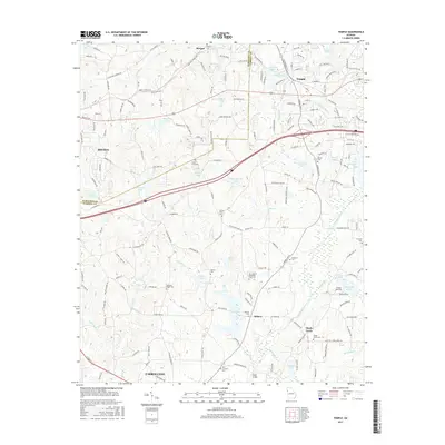 2017 Temple2017 Print · USGSThe rolling landscape of western Georgia near the Alabama border is documented here in the late 2010s. Researchers can trace local lineage through numerous rural burial sites like Abilene Cem and Shady Grove Cem or locate the private Wilson Airstrip.
Showing maps 1-25 of 33
Top cities of Haralson County
Frequently asked questions
- What are the different types of historical maps available for Haralson County?
- What is the oldest map of Haralson County?
- Where can I purchase historical maps of Haralson County for my home or office?
- Where can I download high-res historical maps of Haralson County?
- Are there historical topographic maps available for Haralson County?
- Is there historical aerial imagery available for Haralson County?
- Where are historical maps of Haralson County sourced from?