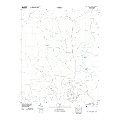
2011 Map of Tallapoosa North
USGS Topo · Published 2011About this map
Old Tallapoosa and the winding course of the Tallapoosa River anchor this 2011 geographic study of the Georgia-Alabama borderlands. The landscape is defined by its water crossings and small rural settlements, including Steadman and Poplar Springs. Historic crossing points like Adderholds Bridge, McBride Bridge, and Rowels Bridge indicate the importance of river access in this wooded region, while Rainwater Ford preserves a traditional point of transit across the main channel.
Find a feature on this map
74 named features on this map. Tap any name to fly to it.
Don’t see what you’re looking for? This feature index may not catch every label — zoom into the map to look around manually.
Map Details
Editions of this 2011 Tallapoosa North Map
This is the sole edition of this map. No revisions or reprints were ever made.
Other maps of this area

1889 · Tallapoosa
USGS Topo · 1:125,000

1892 · Tallapoosa
USGS Topo · 1:125,000

1897 · Tallapoosa
USGS Topo · 1:125,000

1953 · Atlanta
USGS Topo · 1:250,000

1957 · Atlanta
USGS Topo · 1:250,000

1958 · Atlanta
USGS Topo · 1:250,000

1958 · Carrollton
USGS Topo · 1:62,500

1958 · Buchanan
USGS Topo · 1:62,500

1965 · Tallapoosa South
USGS Topo · 1:24,000

1966 · Tallapoosa North
USGS Topo · 1:24,000