Old Maps of Hartwell, Georgia for Academic Research
Study the evolution of Hartwell with 16 high-resolution historic maps. Whether you're teaching, researching, or modeling changes in land use, these maps provide essential visual documentation of urban, environmental, and geographic change.
- Analyze long-term change: Track patterns in development, transportation, and natural features.
- Ideal for environmental or urban studies: Support academic projects with primary historical map data.
- Use in the classroom or lab: Educators and researchers rely on these maps to bring historical context to life.
These maps are a powerful tool for teaching, research, and visualizing how Hartwell has changed over the decades.
Hartwell, GA maps
(16)- 1893 Map of Elberton
 1893 Elberton1893 Print · USGSThe Georgia-South Carolina borderlands come alive in the 1890s, centering on the river-and-rail economy of the Savannah Valley. Genealogists can trace family names and early community hubs through Browns Ferry, Coldwater Church, and Ruckersville.5 unique versions available
 - 1954 Map of Greenville, 1965 Print
 1954 Greenville1965 Print · USGSThe Upstate and Northeast Georgia are captured here during a decade of massive transformation as new reservoirs reshaped the Piedmont. Genealogists and hikers can trace the Appalachian Trail over Brasstown Bald or locate old community centers like Demorest, Westminster, and Royston.3 unique versions available
 - 1958 Map of Greenville
 1958 Greenville1958 Print · USGSThe Piedmont and Blue Ridge foothills come alive in this mid-century survey of the Upstate and Northeast Georgia. Trace the regional rail-and-river economy through the Southern Railway corridors and early reservoir developments like Lake Sidney Lanier.
 - 1959 Map of Hartwell, 1961 Print
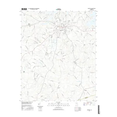
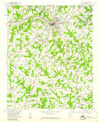 1959 Hartwell1961 Print · USGSHart County was undergoing a significant transformation in the late fifties as the new reservoir began to fill the northern valleys. Genealogists and local historians can trace the foundations of this community through landmarks like Nancy Hart Sch, the Hartwell Railway, and numerous country churches including Bio Ch.2 unique versions available
 - 1960 Map of Reed Creek, 1963 Print
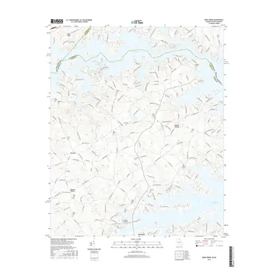
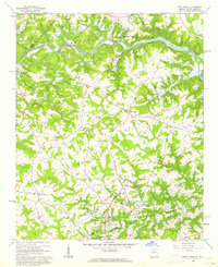 1960 Reed Creek1963 Print · USGSThe Georgia and South Carolina border is caught in a moment of transition during the 1960s as the Hartwell Reservoir fills the valley. Researchers can trace old family landmarks and rural congregations like Sharon Ch, Cleveland Cem, and the community of Maretts.3 unique versions available
 - 1979 Map of Abbeville, 1980 Print
 1979 Abbeville1980 Print · USGSThe South Carolina and Georgia borderlands are captured here during a period of significant hydroelectric development and regional growth. Researchers can trace the rail-and-river economy through the Seaboard Coast Line and landmarks like Hartwell Dam or the Silk Mills.2 unique versions available
 - 2011 Map of Hartwell, 2011 Print
 2011 Hartwell2011 Print · USGSCovers Hartwell, including Bio, Nuberg, and other nearby areas
 - 2011 Map of Reed Creek, 2011 Print
 2011 Reed Creek2011 Print · USGSCovers Hartwell, including Mount Olivet, Reed Creek, and other nearby areas
 - 2014 Map of Hartwell, 2014 Print
 2014 Hartwell2014 Print · USGSCovers Hartwell, including Bio, Nuberg, and other nearby areas
 - 2014 Map of Reed Creek, 2014 Print
 2014 Reed Creek2014 Print · USGSCovers Hartwell, including Mount Olivet, Reed Creek, and other nearby areas
 - 2017 Map of Hartwell, 2017 Print
 2017 Hartwell2017 Print · USGSCovers Hartwell, including Bio, Nuberg, and other nearby areas
 - 2017 Map of Reed Creek, 2017 Print
 2017 Reed Creek2017 Print · USGSCovers Hartwell, including Mount Olivet, Reed Creek, and other nearby areas
 - 2020 Map of Hartwell, 2020 Print
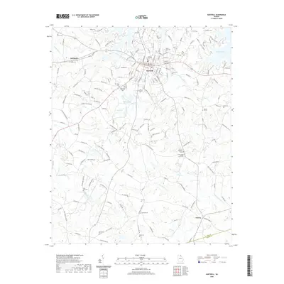 2020 Hartwell2020 Print · USGSCovers Hartwell, including Bio, Nuberg, and other nearby areas
 - 2020 Map of Reed Creek, 2020 Print
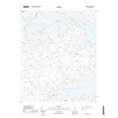 2020 Reed Creek2020 Print · USGSCovers Hartwell, including Mount Olivet, Reed Creek, and other nearby areas
 - 2024 Map of Hartwell, 2024 Print
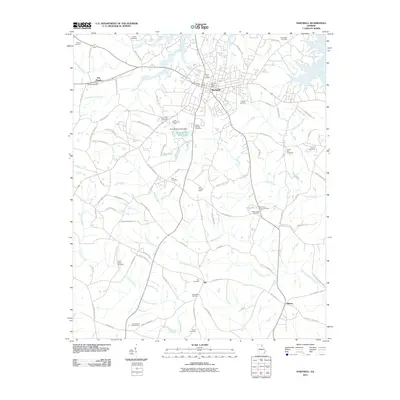
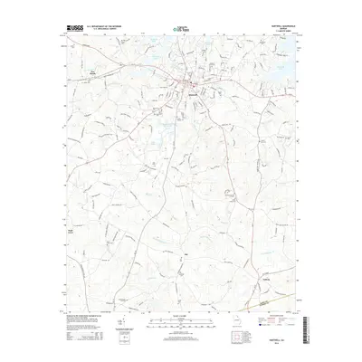
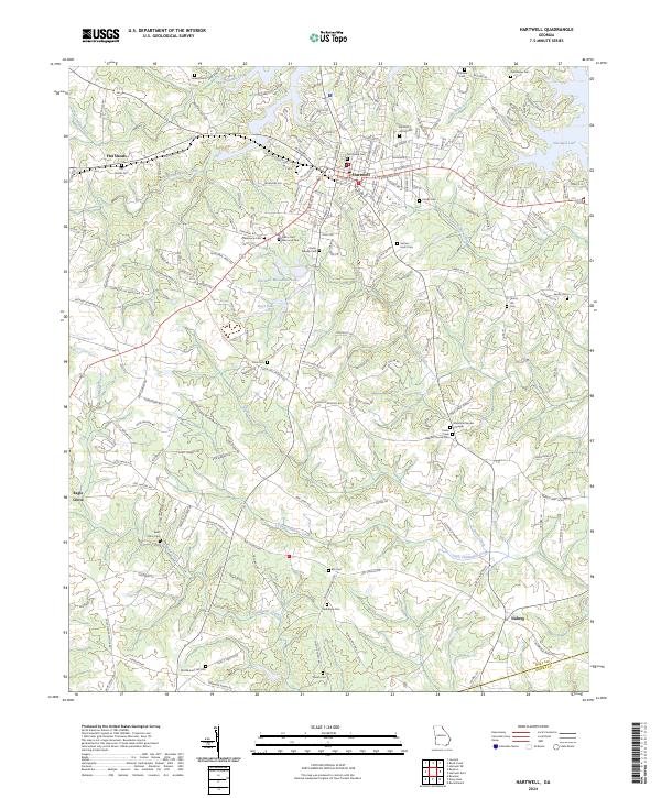 2024 Hartwell2024 Print · USGSHart County's seat and its surrounding rural communities are captured here as the landscape transitions from the historic town of Hartwell to the modern shores of Hartwell Lake. Genealogists and historians can trace deep local roots through several landmarks, including Nancy Hart Memorial Park and various country cemeteries like Shiloh Cem and Flat Shoals Cem.
 - 2024 Map of Reed Creek, 2024 Print
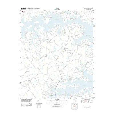
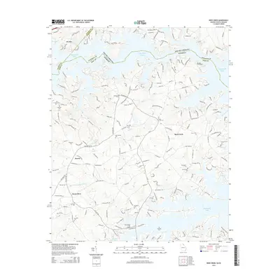
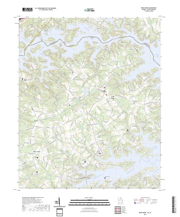 2024 Reed Creek2024 Print · USGSThe Georgia and South Carolina borderlands near Reed Creek come alive in this recent survey. Researchers can trace ancestral sites like Cole Civil War Cem, find the location of old river crossings at Coles Ferry, and map the rural reaches of Hartwell Lake.
End of results
Showing maps 1-16 of 16
Top cities near Hartwell
- Elberton historical maps
- Royston historical maps
- Lavonia historical maps
- Franklin Springs historical maps
- Bowman historical maps
- Bowersville historical maps
See more
Frequently asked questions
- What are the different types of historical maps available for Hartwell?
- What is the oldest map of Hartwell?
- Where can I purchase historical maps of Hartwell for my home or office?
- Where can I download high-res historical maps of Hartwell?
- Are there historical topographic maps available for Hartwell?
- Is there historical aerial imagery available for Hartwell?
- Where are historical maps of Hartwell sourced from?