2010s Maps of Jenkins County, Georgia
Explore 39 historic maps of Jenkins County from the 2010s. These maps offer a rare glimpse into what life looked like during the 2010s — showing old roads, neighborhoods, homes, and landmarks that have changed or disappeared over time.
Whether you're researching your family's past, planning a metal detecting trip, or studying how Jenkins County's landscape evolved across the 2010s, these high-resolution maps are a powerful tool for exploring the history of this region.
- Focus on a specific era: All maps on this page are from the 2010s, giving you a focused view of this time period.
- See what’s changed: Compare century-old streets, trails, and buildings to today's modern landscape using overlays and satellite layers.
- Research with precision: Use these maps for genealogy, historical research, land use analysis, or educational projects.
- View, download, or print: Maps are fully viewable online in high resolution, and can be downloaded or printed for your own records.
Start exploring Jenkins County's history through authentic maps from the 2010s. This is your window into the past.
Jenkins County, GA maps
(39)- 2011 Map of Scotts Corner, 2011 Print
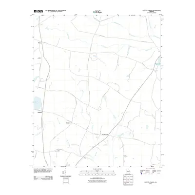 2011 Scotts Corner2011 Print · USGSRural Burke County comes into focus in this recent survey, showing the quiet transition of its agricultural landscapes. Researchers can locate family burial sites at Bark Camp Cemetery or trace old routes like Old Magruder-Midville Rd through Magruder.
 - 2011 Map of Bellevue, 2011 Print
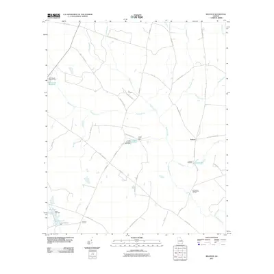 2011 Bellevue2011 Print · USGSThe rural community of Bellevue is captured here in the early twenty-first century, surrounded by family plantations and historic church grounds. Genealogists can trace local heritage at the Big Buckhead Baptist Church and find numerous water features like McCullough Millpond.
 - 2011 Map of Twin City SE, 2011 Print
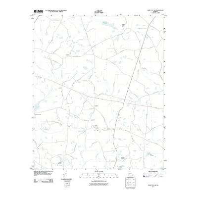 2011 Twin City SE2011 Print · USGSThis rural Georgia landscape in the early twenty-first century reveals a network of family-named landmarks and historic creek crossings. Genealogists can trace local roots through Friendship Cemetery and Williams Cemetery, or locate old crossings at Banks Bridge and Paddy Ford Bridge.
 - 2011 Map of Birdsville, 2011 Print
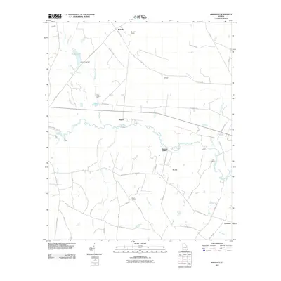 2011 Birdsville2011 Print · USGSCoastal plain settlements and river landings along the Ogeechee River define this part of Georgia in the early twenty-first century. Researchers can trace family sites at Wiggens Cemetery or locate old water features like the Chew Millpond and the unique Big Sink terrain.
 - 2011 Map of Midville, 2011 Print
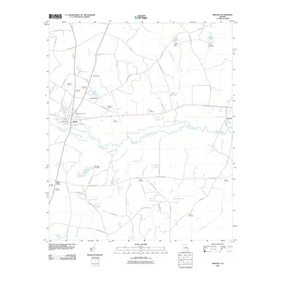 2011 Midville2011 Print · USGSMidville and the Ogeechee River corridor are documented here in the early twenty-first century. Family historians can trace numerous rural burial sites like Murphree Cemetery and Sherrod Cemetery, alongside landmarks like McKinney Pond Dam and Herndon.
 - 2011 Map of Garfield, 2011 Print
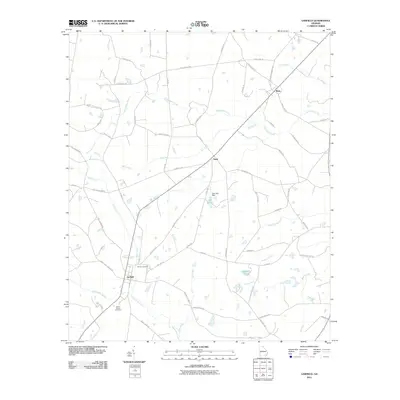 2011 Garfield2011 Print · USGSThe settlement of Garfield and its rural Georgia surroundings are captured here in the early twenty-first century. Genealogists can trace family connections at Hebron Cemetery and Union Chapel Cemetery or locate historic homesteads near Thrift and Butts.
 - 2011 Map of Bay Branch, 2011 Print
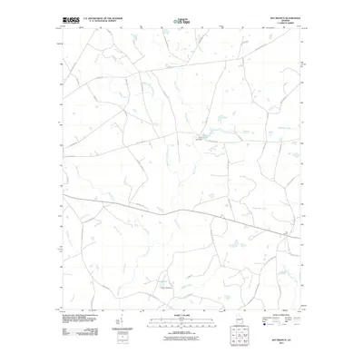 2011 Bay Branch2011 Print · USGSScreven County is depicted here in the early twenty-first century, showing a landscape shaped by rural industry and water management. You can trace the path of the old Tram Rd and locate local landmarks like Pierce Pond Dam and Bay Branch.
 - 2011 Map of Millen, 2011 Print
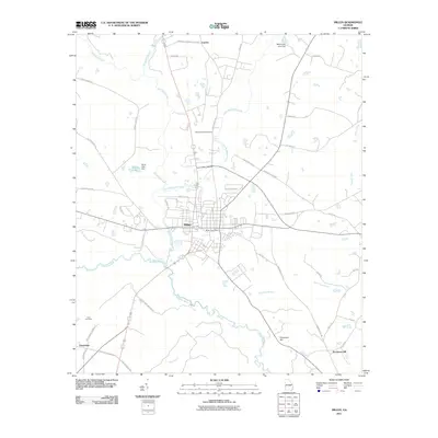 2011 Millen2011 Print · USGSMillen and its surrounding Georgia lowlands are captured here in the early twenty-first century as the Ogeechee River winds past established rural settlements. Genealogists and local historians can trace family sites like Little Buckhead Cemetery and the northern reaches of Magnolia Springs State Park.
 - 2011 Map of Portal, 2011 Print
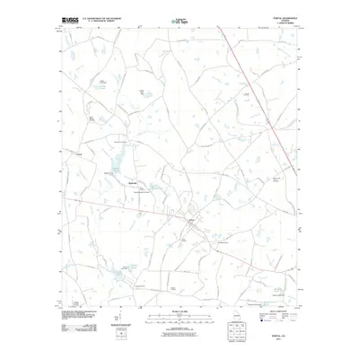 2011 Portal2011 Print · USGSBulloch County's agricultural landscape is seen here in the early twenty-first century, centered on the hub of Portal. Genealogists and historians can trace family locations through numerous sites like Piddleville, Pleasant Hill Cemetery, and Womack Airport.
 - 2011 Map of Four Points, 2011 Print
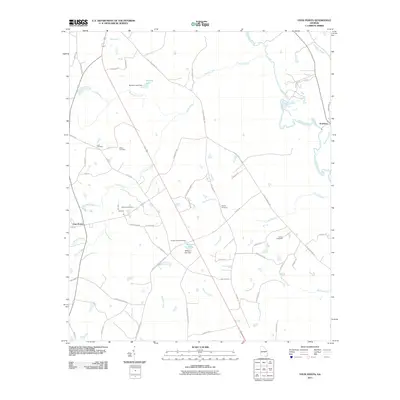 2011 Four Points2011 Print · USGSCoastal Plain wetlands and rural farmsteads define this Georgia landscape at the turn of the decade. Genealogists and local historians can trace family burial sites like Paynes Chapel Cemetery and Lanier Cemetery near the banks of the Ogeechee River.
 - 2011 Map of Perkins, 2011 Print
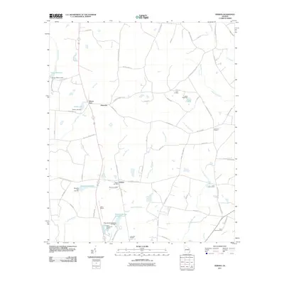 2011 Perkins2011 Print · USGSPerkins and the rural reaches of Jenkins County appear here in the early twenty-first century as a landscape of agricultural roads and managed waterways. Researchers can locate family landmarks like Wilsons Store and numerous rural burial sites including Habersham Cemetery and Green Fork Cemetery.
 - 2011 Map of Rocky Ford, 2011 Print
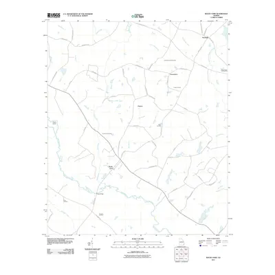 2011 Rocky Ford2011 Print · USGSScreven County comes to life in this early 21st-century study of the rural river lands near Rocky Ford. Genealogists can trace family heritage through numerous burial sites like Finch Cemetery and Daughtry Cemetery near the banks of the Ogeechee River.
 - 2011 Map of Sardis, 2011 Print
 2011 Sardis2011 Print · USGSSardis and the surrounding Burke County countryside are shown here in the early twenty-first century, a landscape defined by creeks and long-standing family roads. Genealogists can trace local roots at Beech Branch Cemetery, Ellis Chapel Cemetery, and the site of Old Sardis.
 - 2014 Map of Portal, 2014 Print
 2014 Portal2014 Print · USGSBulloch County's rural crossroads and family settlements come to life in this survey from the early twenty-first century. Genealogists and local historians can trace legacy sites like Franklin Cem, Mincey Cem, and Banks Creek Church Cem alongside the waters of Lotts Cr.
 - 2014 Map of Four Points, 2014 Print
 2014 Four Points2014 Print · USGSCoastal Plain wetlands and rural settlements characterize this South Georgia region near the Ogeechee River. Researchers can trace local lineage through numerous family-named landmarks including Paynes Chapel Cem, Lane Cem, and the riverside community of Scarboro.
 - 2014 Map of Perkins, 2014 Print
 2014 Perkins2014 Print · USGSCoastal plain wetlands and small rural settlements define this Jenkins County landscape in the mid-2010s. Genealogists and historians can locate numerous family burial grounds like Habersham Cem and Lawtonville Cem near the waters of Magnolia Spring.
 - 2014 Map of Sardis, 2014 Print
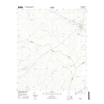 2014 Sardis2014 Print · USGSSardis and the tri-county borderlands of Burke, Jenkins, and Screven are captured in this mid-2010s survey. Genealogists and local researchers can trace family lands near Old Sardis, burial sites like Beech Branch Cem, and the winding course of Beaverdam Cr.
 - 2014 Map of Rocky Ford, 2014 Print
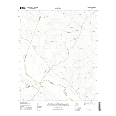 2014 Rocky Ford2014 Print · USGSScreven County's rural landscape is documented here in the early twenty-first century as small communities and family landmarks persist along the Ogeechee River. Researchers can trace local lineage through sites like Rocky Ford Cem, Peggy Zeigler Cem Two, and the crossing at Copps Bridge.
 - 2014 Map of Millen, 2014 Print
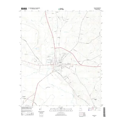 2014 Millen2014 Print · USGSJenkins County at the start of the 2010s reveals a landscape defined by the Ogeechee River and the legacy of the Central of Georgia railroad. Genealogists can trace family footprints near Little Buckhead Cem or explore the old routes through Lawton and Emmalane.
 - 2014 Map of Bellevue, 2014 Print
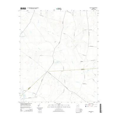 2014 Bellevue2014 Print · USGSIn the early twenty-first century, this area of Burke and Jenkins counties maintained its deep agricultural roots. Genealogists can trace family landmarks and burial sites like Big Buckhead Baptist Church Cem, Fairhaven Cem, and the waters of Knight Lake.
 - 2014 Map of Scotts Corner, 2014 Print
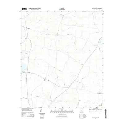 2014 Scotts Corner2014 Print · USGSBurke County remains a landscape of traditional Georgia farmsteads and rural crossroads in the early twenty-first century. Genealogists can locate several family-named burial sites like Inman Cem and Cason Bynes Cem near Scotts Corner.
 - 2014 Map of Bay Branch, 2014 Print
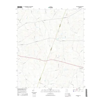 2014 Bay Branch2014 Print · USGSScreven and Jenkins Counties are captured here in the early 2010s, showcasing a rural Georgia landscape of interconnected creeks and country lanes. Genealogists and historians can trace family roots near Bay Branch or locate landmarks like Braggs Mill Cr and Middle Pond.
 - 2014 Map of Birdsville, 2014 Print
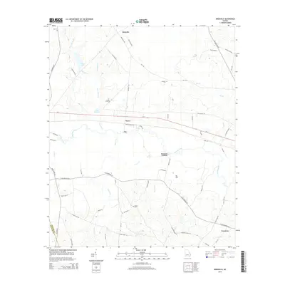 2014 Birdsville2014 Print · USGSBirdsville and the Ogeechee River bottomlands are captured here in a period of quiet rural continuity. Family historians can trace local roots through landmarks like Law Cem and Wiggens Cem, or locate old river access points at Bennetts Landing and Rogers Crossing.
 - 2014 Map of Garfield, 2014 Print
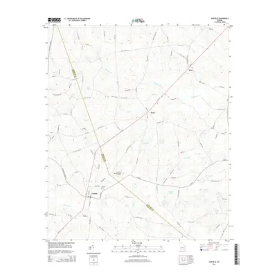 2014 Garfield2014 Print · USGSThe rural landscapes of Emanuel and Jenkins Counties come to life in this recent survey of eastern Georgia. Researchers can locate family landmarks such as Hebron Cemetery and the crossroads at Thrift or Butts, as well as the Hacienda de Gay Airstrip.
 - 2014 Map of Twin City SE, 2014 Print
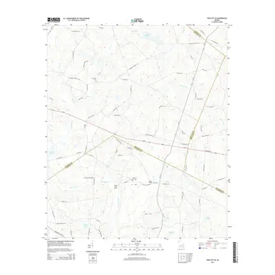 2014 Twin City SE2014 Print · USGSSoutheast of Twin City in the early twenty-first century, this landscape is defined by the convergence of four Georgia counties. Genealogists can trace family names and landmarks across these borders, including Friendship Cem, Hendley Pond, and Williams Cem.
Showing maps 1-25 of 39
Top cities of Jenkins County
Frequently asked questions
- What are the different types of historical maps available for Jenkins County?
- What is the oldest map of Jenkins County?
- Where can I purchase historical maps of Jenkins County for my home or office?
- Where can I download high-res historical maps of Jenkins County?
- Are there historical topographic maps available for Jenkins County?
- Is there historical aerial imagery available for Jenkins County?
- Where are historical maps of Jenkins County sourced from?