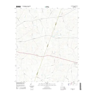
2014 Map of Bay Branch
USGS Topo · Published 2014About this map
Bay Branch anchors the southeastern corner of this map, situated within a landscape defined by the serpentine headwaters and tributaries of Horse Cr and Ogeechee Cr. The geography here is a complex network of wetlands and small water bodies, including Middle Pond, Pierce Pond, and Pryor Pond, which suggest a long-standing history of rural water management and local agriculture. The diagonal boundary between Jenkins and Screven Counties bisects the area, cutting across a dense grid of country roads and local thoroughfares like Hiltonia Rd and Buttermilk Rd. Modern transportation is represented by Ga-21 and the Millen Hwy, which provide the primary east-west corridors through this corner of Georgia. The presence of features such as Braggs Mill Cr points to the early industrial history of the region, where local streams were harnessed for milling operations.
Find a feature on this map
59 named features on this map. Tap any name to fly to it.
Don’t see what you’re looking for? This feature index may not catch every label — zoom into the map to look around manually.
Map Details
Editions of this 2014 Bay Branch Map
This is the sole edition of this map. No revisions or reprints were ever made.
Other maps of this area

1918 · Oliver
USGS Topo · 1:62,500

1920 · Hilltonia
USGS Topo · 1:62,500

1920 · Millen
USGS Topo · 1:62,500

1920 · Oliver
USGS Topo · 1:62,500

1921 · Rocky Ford
USGS Topo · 1:62,500

1943 · Hilltonia
USGS Topo · 1:62,500

1943 · Rocky Ford
USGS Topo · 1:62,500

1943 · Millen
USGS Topo · 1:62,500

1943 · Millen
USGS Topo · 1:125,000

1943 · Oliver
USGS Topo · 1:62,500