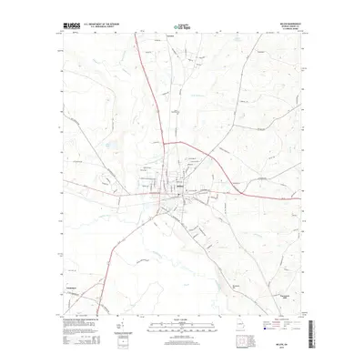
2014 Map of Millen
USGS Topo · Published 2014About this map
The Central of Georgia railroad corridor anchors the city of Millen, serving as a historical spine for this Jenkins County landscape. The town's grid is dense with named streets like Barney Ave and W Winthorpe Ave, reflecting its role as a regional hub. South of the city, the terrain transitions into the broad wetlands of the Ogeechee River, where the elevation rises toward Paramore Hill. This area is marked by a network of drainage features including Oak Cane Br and Bay Br, which define the agricultural boundaries of the era.
Find a feature on this map
94 named features on this map. Tap any name to fly to it.
Don’t see what you’re looking for? This feature index may not catch every label — zoom into the map to look around manually.
Map Details
Editions of this 2014 Millen Map
This is the sole edition of this map. No revisions or reprints were ever made.
Other maps of this area

1920 · Millen
USGS Topo · 1:62,500

1921 · Rocky Ford
USGS Topo · 1:62,500

1943 · Rocky Ford
USGS Topo · 1:62,500

1943 · Millen
USGS Topo · 1:62,500

1943 · Millen
USGS Topo · 1:125,000

1947 · Savannah
USGS Topo · 1:250,000

1948 · Savannah
USGS Topo · 1:250,000

1957 · Macon
USGS Topo · 1:250,000

1957 · Savannah
USGS Topo · 1:250,000

1958 · Macon
USGS Topo · 1:250,000