2020s Maps of Laurens County, Georgia
Explore 44 historic maps of Laurens County from the 2020s. These maps offer a rare glimpse into what life looked like during the 2020s — showing old roads, neighborhoods, homes, and landmarks that have changed or disappeared over time.
Whether you're researching your family's past, planning a metal detecting trip, or studying how Laurens County's landscape evolved across the 2020s, these high-resolution maps are a powerful tool for exploring the history of this region.
- Focus on a specific era: All maps on this page are from the 2020s, giving you a focused view of this time period.
- See what’s changed: Compare century-old streets, trails, and buildings to today's modern landscape using overlays and satellite layers.
- Research with precision: Use these maps for genealogy, historical research, land use analysis, or educational projects.
- View, download, or print: Maps are fully viewable online in high resolution, and can be downloaded or printed for your own records.
Start exploring Laurens County's history through authentic maps from the 2020s. This is your window into the past.
Laurens County, GA maps
(44)- 2020 Map of McRae NW, 2020 Print
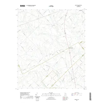 2020 McRae NW2020 Print · USGSThe four-county borders of Laurens, Dodge, Wheeler, and Telfair come together in this 2020 portrait of rural Georgia. Family researchers and historians can locate remote burial sites like New Hope Cem and Harrelson Cem or trace the winding course of Alligator Creek.
 - 2020 Map of Cow Hell Swamp, 2020 Print
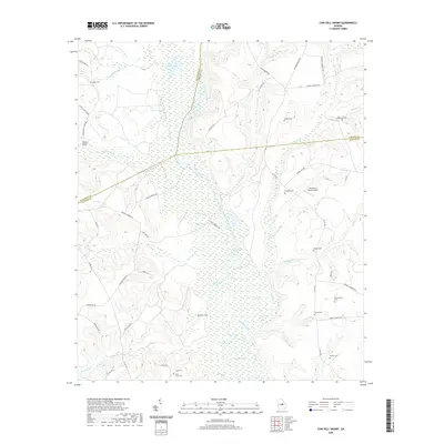 2020 Cow Hell Swamp2020 Print · USGSThe Oconee River bottomlands in Middle Georgia are mapped here during a period of modern rural continuity. Genealogists and local historians can trace family locations through several rural cemeteries like Londonfield Cem and Guyton Cem, while exploring the vast wetlands of Cow Hell Swamp.
 - 2020 Map of Five Points, 2020 Print
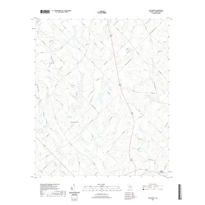 2020 Five Points2020 Print · USGSLaurens County in the early twenty-first century remains a landscape of rural crossroads and family homesteads. Researchers can trace ancestral lands and rural infrastructure through local landmarks like Cedar Grove, the Cochran Lime Sink, and the McDaniel Cem.
 - 2020 Map of Minter, 2020 Print
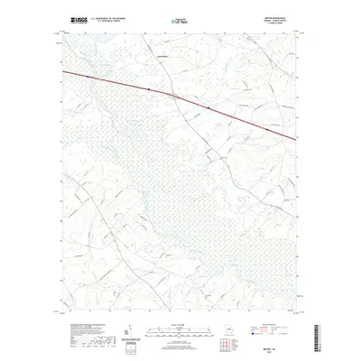 2020 Minter2020 Print · USGSThe Oconee River dominates this Laurens County landscape as it appeared in recent years, weaving through a network of wetlands and rural homesteads. Genealogists and local historians can trace family ties at Minter Cem and Hall Cem, or locate landmarks like Tark Hill and Rock Springs.
 - 2020 Map of Lothair, 2020 Print
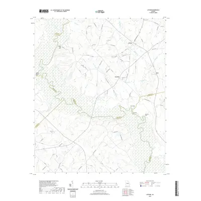 2020 Lothair2020 Print · USGSThe Oconee River valley at the turn of the decade is documented here as it weaves through the borders of four Georgia counties. Genealogists can locate Gov Troup Grave and several rural cemeteries like Barnhill Cem or Fowlers Cem.
 - 2020 Map of Wrightsville, 2020 Print
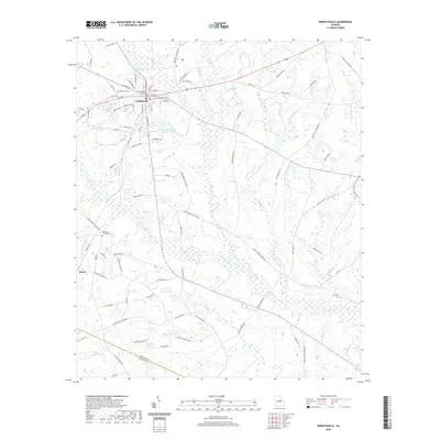 2020 Wrightsville2020 Print · USGSWrightsville and its surrounding Georgia wetlands are documented here in the early twenty-first century. Genealogists and local historians can locate family burial sites at West View Cem and Snell Cem or trace the winding course of the Ohoopee River.
 - 2020 Map of Alamo, 2020 Print
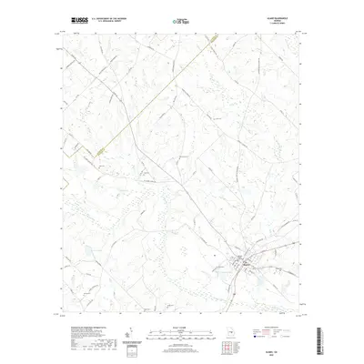 2020 Alamo2020 Print · USGSAlamo and the surrounding Wheeler County countryside are captured here in the early twenty-first century as a network of quiet rural roads and creek-side settlements. Genealogists and local historians can locate numerous family burial grounds, such as Grimes Cem and Clark Cem, or trace the landscape around Jordan Lake and the Wheeler County Courthouse.
 - 2020 Map of Dublin, 2020 Print
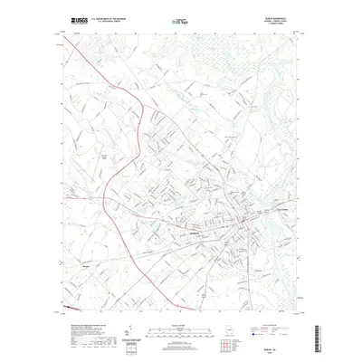 2020 Dublin2020 Print · USGSThe Oconee River divides the growing city of Dublin from East Dublin in this Laurens County landscape. Researchers can locate several key burial sites including Old Dublin Cem and Swinson Cemetery, or trace the winding course of Hunger and Hardship Creek.
 - 2020 Map of East Dublin, 2020 Print
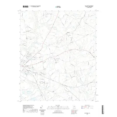 2020 East Dublin2020 Print · USGSLaurens County comes into focus in the early 2020s, showing the residential expansion of East-Dublin into the surrounding countryside. Genealogists and local historians can locate several family and community sites, including Brewton Cem, Condor, and Bethlehem Cem.
 - 2020 Map of Scott, 2020 Print
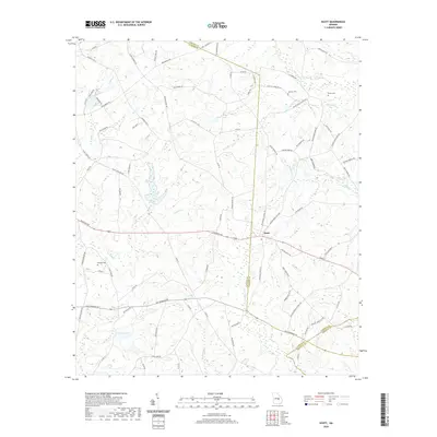 2020 Scott2020 Print · USGSThe rural community of Scott is centered where four Georgia counties converge in the modern era. Genealogists and local researchers can trace family lands near Beasley Cem, Smith Cem, and the winding banks of Pendleton Cr.
 - 2020 Map of Lovett, 2020 Print
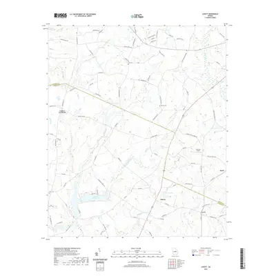 2020 Lovett2020 Print · USGSThe Laurens and Johnson County borderlands come into focus in this recent study of rural Georgia. Researchers can trace local lineage through family-named landmarks like Dent Cem, Williams Cem, and water features like Mason Spring.
 - 2020 Map of Rockledge, 2020 Print
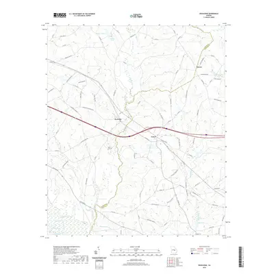 2020 Rockledge2020 Print · USGSThe borderlands of Treutlen and Laurens Counties are shown here in the contemporary era, centered on the rural settlements of Rockledge and Orland. Researchers can trace the drainage of the Oconee River and locate family landmarks like Mount Zion Cem and Fowlers Cem.
 - 2020 Map of Lowery, 2020 Print
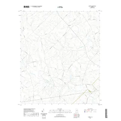 2020 Lowery2020 Print · USGSThis rural portion of Middle Georgia along the Laurens and Wheeler county line is documented in the modern era. Genealogists and local historians can locate Lowery Cemetery, Miller Cemetery, and Snowhill Baptist Church among the tributaries of Ochwalkee Creek.
 - 2020 Map of Rentz, 2020 Print
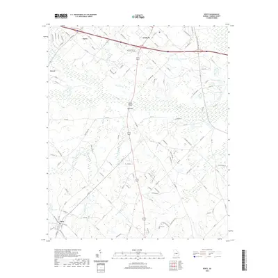 2020 Rentz2020 Print · USGSLaurens County just south of Dublin is shown here in the contemporary era, spanning from local technical colleges to rural crossroads. Researchers can trace family sites near Rentz, locate the Pearson Cemetery, and map the reaches of Turkey Creek.
 - 2020 Map of Stuckey Boone Lake, 2020 Print
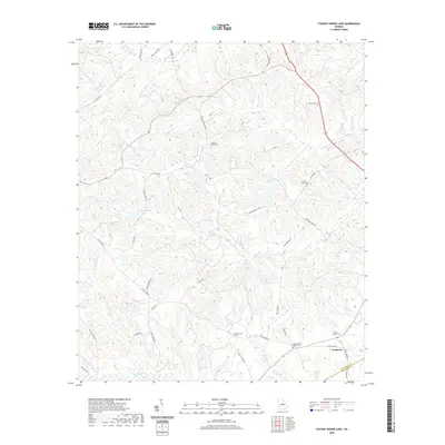 2020 Stuckey Boone Lake2020 Print · USGSWilkinson and Laurens counties are shown here in the 2020s, revealing a landscape of family-named roads and rural burial grounds. Genealogists can trace local heritage at Cooktown or through sites like Walnut Creek Baptist Cem and Wesley Cem.
 - 2020 Map of Cadwell, 2020 Print
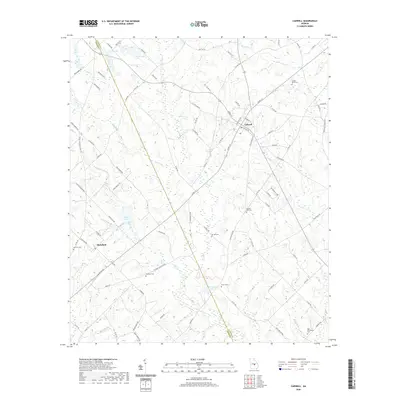 2020 Cadwell2020 Print · USGSThe community of Cadwell and nearby Plainfield anchor this rural Georgia landscape near the start of the twenty-first century. Genealogists can trace family heritage through numerous burial sites like Daniels Gift Cem, Coleman Cem, and New Providence Cem.
 - 2020 Map of Danville East, 2020 Print
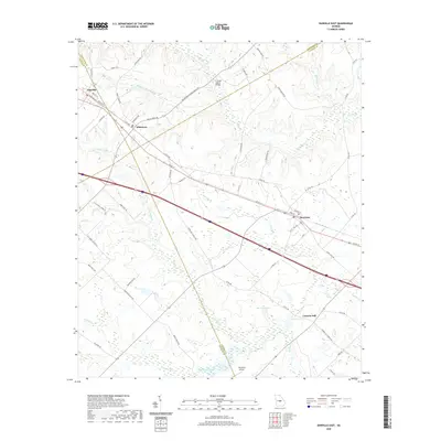 2020 Danville East2020 Print · USGSThe Georgia junctions of Wilkinson, Twiggs, and Laurens counties are documented here in the early twenty-first century. Genealogists and local historians can trace the rail-side growth of Danville and Allentown or locate rural landmarks like Laurens Hill and the Whitehall Airport.
 - 2020 Map of Dudley, 2020 Print
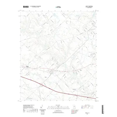 2020 Dudley2020 Print · USGSDudley and the surrounding Laurens County countryside are shown here in modern detail. Researchers can trace family history through numerous burial sites like Oak Grove Cem and Pope Cem or locate the community of Shewmake.
 - 2020 Map of Jay Bird Springs, 2020 Print
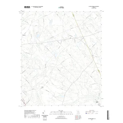 2020 Jay Bird Springs2020 Print · USGSThe rural borderlands of Dodge and Laurens Counties are shown in detail as they appeared recently, centered on the community of Jay Bird Springs. Researchers can trace local lineages through family-named sites like the Taylor Cem and Ryals Cem or the Parkerson Baptist Church Cem.
 - 2020 Map of Dexter, 2020 Print
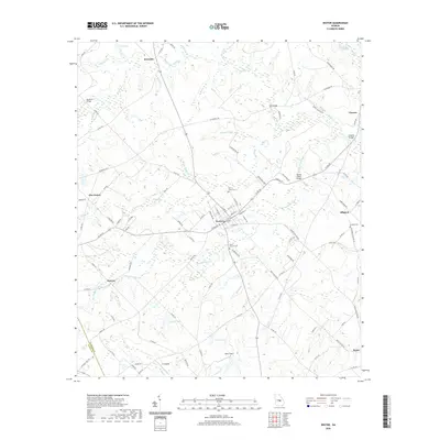 2020 Dexter2020 Print · USGSLaurens County rural life and community centers are documented here in the early twenty-first century. Researchers can trace family sites and local geography through settlements like Dexter and Alligood or landmarks like Mount Carmel Cem.
 - 2020 Map of Chester, 2020 Print
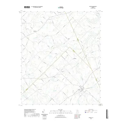 2020 Chester2020 Print · USGSDodge and Bleckley counties come together at the town of Chester in this recent survey of central Georgia’s agricultural heartland. Genealogists and local historians can locate numerous family burial grounds including Walters Cem and Buckhorn Cem, alongside rural landmarks like Whitehall Airport.
 - 2020 Map of Nicklesville, 2020 Print
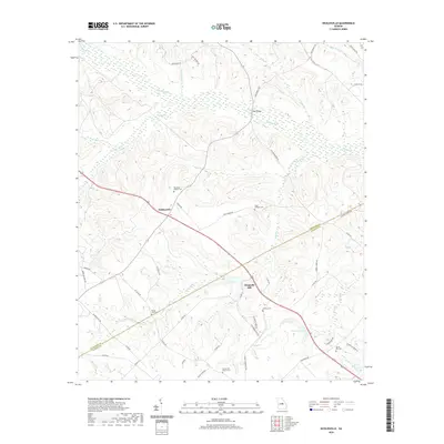 2020 Nicklesville2020 Print · USGSWilkinson and Laurens counties are mapped here in the modern era, showing a community still deeply rooted in its landscape. Researchers can trace family history through sites like Chappells Mill, Spring Hill Cem, and Big Sandy Baptist Cem.
 - 2024 Map of Danville East, 2024 Print
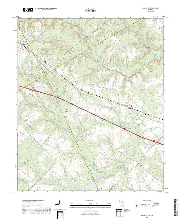 2024 Danville East2024 Print · USGSThe crossroads of four Georgia counties come into view in the 2020s, revealing a landscape of rural townships and winding creek bottoms. Genealogists can trace family connections near Montrose Cem, Macedonia Cem, and the settlement of Laurens Hill.
 - 2024 Map of Stuckey Boone Lake, 2024 Print
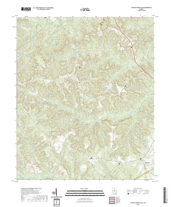 2024 Stuckey Boone Lake2024 Print · USGSWilkinson County in the early twenty-first century remains a landscape of quiet rural roads and historic family burial grounds. Genealogists can trace local heritage through sites like Pleasant Plains Cem and Wesley Cem or the small settlement at Cooktown.
 - 2024 Map of Cadwell, 2024 Print
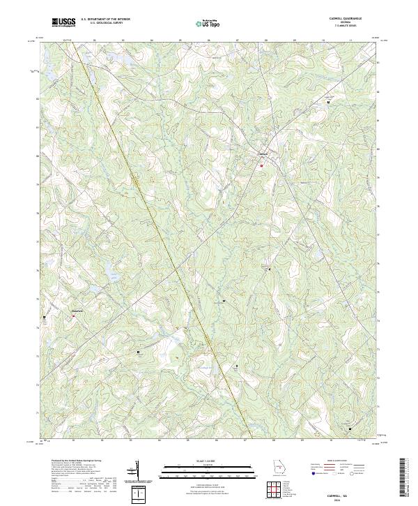 2024 Cadwell2024 Print · USGSGeorgia's Laurens and Dodge counties are captured here in the 2020s, showing a landscape defined by family-named landmarks and rural traditions. Genealogists can locate several family burial grounds, including Joseph Mullis Cem, Bee Hive Cem, and Daniels Gift Cem.
Showing maps 1-25 of 44
Top cities of Laurens County
- Dublin historical maps
- East Dublin historical maps
- Dexter historical maps
- Dudley historical maps
- Cadwell historical maps
- Rentz historical maps
See more
Frequently asked questions
- What are the different types of historical maps available for Laurens County?
- What is the oldest map of Laurens County?
- Where can I purchase historical maps of Laurens County for my home or office?
- Where can I download high-res historical maps of Laurens County?
- Are there historical topographic maps available for Laurens County?
- Is there historical aerial imagery available for Laurens County?
- Where are historical maps of Laurens County sourced from?