2020s Maps of Long County, Georgia
Explore 32 historic maps of Long County from the 2020s. These maps offer a rare glimpse into what life looked like during the 2020s — showing old roads, neighborhoods, homes, and landmarks that have changed or disappeared over time.
Whether you're researching your family's past, planning a metal detecting trip, or studying how Long County's landscape evolved across the 2020s, these high-resolution maps are a powerful tool for exploring the history of this region.
- Focus on a specific era: All maps on this page are from the 2020s, giving you a focused view of this time period.
- See what’s changed: Compare century-old streets, trails, and buildings to today's modern landscape using overlays and satellite layers.
- Research with precision: Use these maps for genealogy, historical research, land use analysis, or educational projects.
- View, download, or print: Maps are fully viewable online in high resolution, and can be downloaded or printed for your own records.
Start exploring Long County's history through authentic maps from the 2020s. This is your window into the past.
Long County, GA maps
(32)- 2020 Map of East of Ludowici, 2020 Print
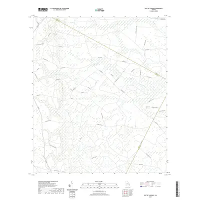 2020 East of Ludowici2020 Print · USGSCoastal Georgia's forested wetlands and rural settlements are shown here at the start of the 2020s. Researchers can trace family history through local landmarks like Middleton Cem, Branson Cem, and the old estates of Sassafrass Plantation.
 - 2020 Map of Glissons Millpond, 2020 Print
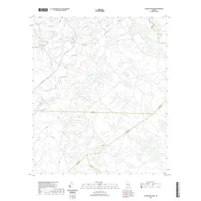 2020 Glissons Millpond2020 Print · USGSSoutheast Georgia’s coastal plain comes into focus as a network of family lands and watercourses during the early twenty-first century. Researchers can trace local heritage through landmarks like Barnard Mill, Antioch Cem, and the shifting boundaries of five neighboring counties.
 - 2020 Map of Taylors Creek, 2020 Print
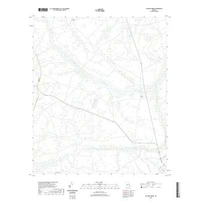 2020 Taylors Creek2020 Print · USGSGeorgia's coastal plain wetlands and rural burial grounds are documented here in the early twenty-first century. Genealogists can locate family sites like Taylors Creek Cem and Todd - Ray Cem near the winding Canoochee Creek.
 - 2020 Map of Bug Island, 2020 Print
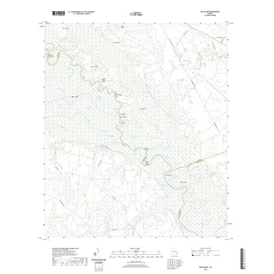 2020 Bug Island2020 Print · USGSThe Altamaha River bottomlands come into sharp focus in this recent survey of the Wayne and Long County border. Researchers can trace the winding river corridor through family-named landmarks and river features like Double Yellow Bluff, Bug Island, and Gardi Swamp.
 - 2020 Map of Glennville NE, 2020 Print
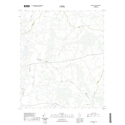 2020 Glennville NE2020 Print · USGSLiberty and Long counties come together in this rural Georgia landscape during the early twenty-first century. Researchers can trace local heritage through numerous cemeteries like Bethel Cem, Zion Travel Cem, and the crossing at Taylors Creek Bridge.
 - 2020 Map of Glennville, 2020 Print
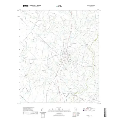 2020 Glennville2020 Print · USGSGlennville and the surrounding Tattnall County countryside are documented here in the early twenty-first century as a land of creek-fed ponds and rural crossroads. Genealogists and local historians can trace family sites at the Bradley-Anderson Cem or locate old waterworks like Edwards Millpond and Brewton Millpond.
 - 2020 Map of Jesup East, 2020 Print
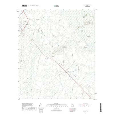 2020 Jesup East2020 Print · USGSSoutheast Georgia's riverine corridor near the Altamaha is documented here during the early twenty-first century. Genealogists and local historians can trace the rural communities of Odessa, Gardi, and Pendarvis and locate family landmarks like Kentucky Island and Gardner Lake.
 - 2020 Map of Jesup NW, 2020 Print
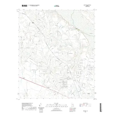 2020 Jesup NW2020 Print · USGSSoutheast Georgia's riverine landscape is captured here in the years following the millennium, showing the rural reaches of Wayne County. Researchers can trace family landmarks and local transit points like Madray Springs, Pinecrest Memorial Cem, and Oglethorpe Bluff.
 - 2020 Map of Hinesville, 2020 Print
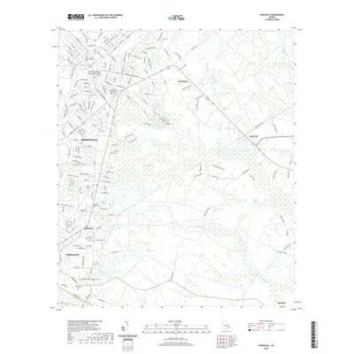 2020 Hinesville2020 Print · USGSCoastal Georgia's lowlands and the growing military-influenced corridors of Liberty County are mapped here in the modern era. Genealogists and local historians can locate several family and community burial sites like Cypress Slash Cem or trace the reach of Bull Town Swamp.
 - 2020 Map of Riceboro, 2020 Print
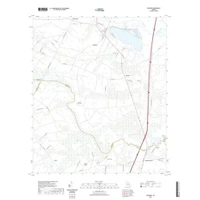 2020 Riceboro2020 Print · USGSCoastal Georgia's riverine landscape comes to life in this survey of Liberty and McIntosh counties during the early twenty-first century. Researchers can trace family history through sites like Pando Cem, Black Island, and the historic settlement at Riceboro.
 - 2020 Map of Glennville SE, 2020 Print
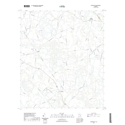 2020 Glennville SE2020 Print · USGSCoastal Georgia's rural interior comes into focus here during the late twenty-tens, showing the crossroads at Donald and Smiley Crossroads. Genealogists and local historians can trace family land via Macedonia Cem and the drainage of Taylors Cr.
 - 2020 Map of Doctortown, 2020 Print
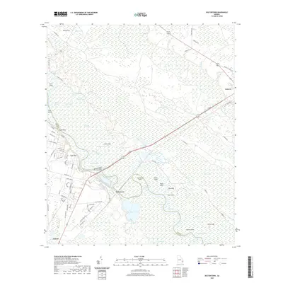 2020 Doctortown2020 Print · USGSCoastal Georgia's riverine landscape is showcased in this recent survey of the area around the Altamaha River and the outskirts of Jesup. Genealogists and local historians can trace the geography of old river settlements like Doctortown and Linden Bluff or locate family-named landmarks like Griffin Ridge.
 - 2020 Map of Glennville SW, 2020 Print
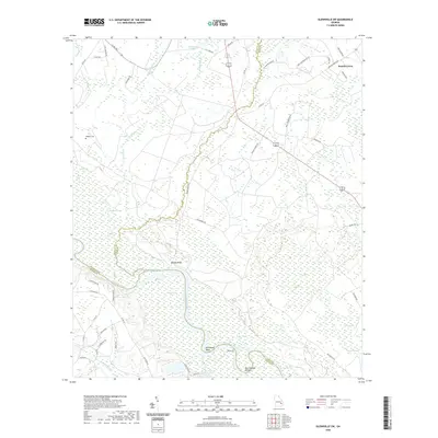 2020 Glennville SW2020 Print · USGSThe Altamaha River corridor comes into sharp focus during this recent survey of the Long and Wayne county borders. Genealogists and local researchers can trace family landmarks and river features like Padgett Cem, Beards Bluff, and Marrowbone Round.
 - 2020 Map of Ludowici, 2020 Print
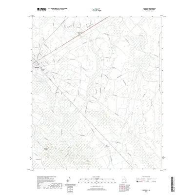 2020 Ludowici2020 Print · USGSCoastal Georgia's lowlands and the Long County seat are documented here in the early twenty-first century. Researchers can trace local lineage through Citizens Cem or Sharp Cem and explore the namesake islands within the River Swamp.
 - 2020 Map of Walthourville, 2020 Print
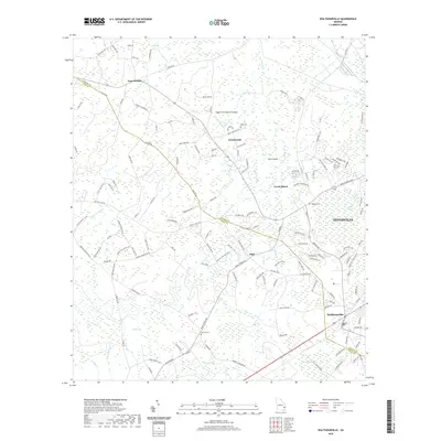 2020 Walthourville2020 Print · USGSHinesville and Walthourville stand at the crossroads of Liberty and Long counties during this contemporary era. Researchers can trace family history through local burial grounds like Wells Cem or locate the rural runways of the Heath Green Skyranch Airport.
 - 2020 Map of Townsend, 2020 Print
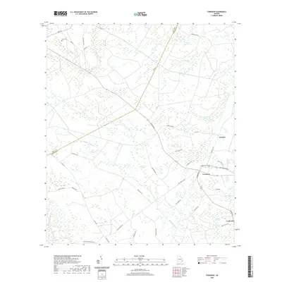 2020 Townsend2020 Print · USGSThe coastal wetlands of McIntosh and Long Counties come into focus in this recent survey. Local historians can trace the community footprints of Townsend, Huxford, and Credit Hill, alongside landmarks like Davis Cem and the legacy logging route Warsaw Tram Rd.
 - 2024 Map of East of Ludowici, 2024 Print
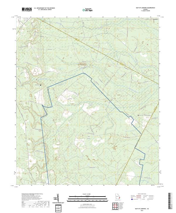 2024 East of Ludowici2024 Print · USGSCoastal Georgia's lowlands and river basins are captured here in the early twenty-first century as the landscape transitions between three counties. Genealogists and researchers can locate family burial sites like Middleton Cem and trace old routes through Bull Town Swamp and along Warsaw Tram Rd.
 - 2024 Map of Bug Island, 2024 Print
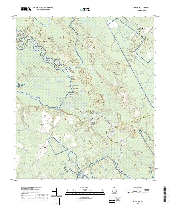 2024 Bug Island2024 Print · USGSThe Altamaha River bottomlands of Long and Wayne counties are captured here in the early twenty-first century, showing a landscape defined by deep swamps and winding river bends. Local historians can trace family-named landmarks like Middleton Memorial Cem, Joyner Island, and Bug Bluff.
 - 2024 Map of Taylors Creek, 2024 Print
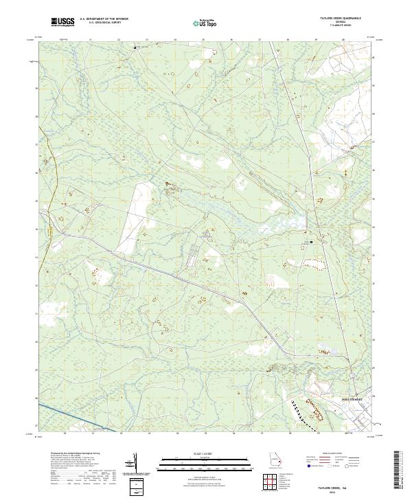 2024 Taylors Creek2024 Print · USGSLiberty County and the surrounding forest lands appear here in the early twenty-first century, dominated by the restricted grounds of a major military installation. Genealogists can locate family burial sites like Todd - Ray Cem and Taylors Creek Cem among the wetlands of Canoochee Creek.
 - 2024 Map of Glennville SE, 2024 Print
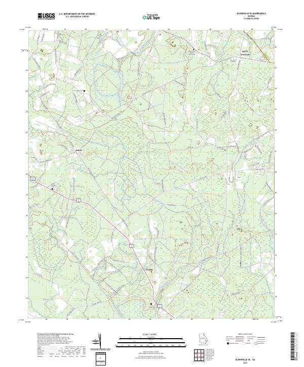 2024 Glennville SE2024 Print · USGSSoutheastern Georgia’s rural timberlands and family homesteads are preserved here in the early twenty-first century. Researchers can trace ancestral lands through family-named landmarks like George D Swindell Rd and locate historic burial sites including Poplar Head Baptist Church Cem and Saint Thomas Cem.
 - 2024 Map of Glennville NE, 2024 Print
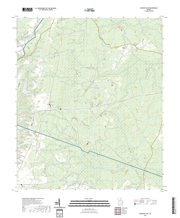 2024 Glennville NE2024 Print · USGSCoastal plain wetlands and military history converge in this Long County landscape during the early 2020s. Researchers can trace numerous rural burial sites like Poplar Head Cem and Zion Travel Cem or follow the waters of Taylors Creek.
 - 2024 Map of Jesup East, 2024 Print
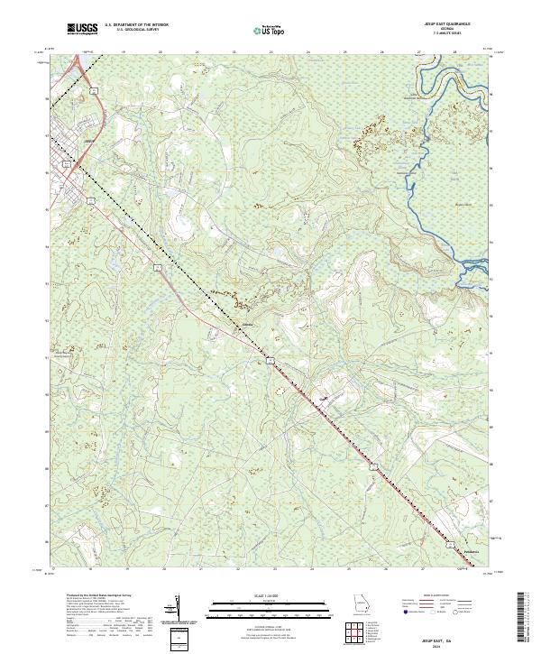 2024 Jesup East2024 Print · USGSWayne County, Georgia, is shown here in its modern rural character, defined by the winding Altamaha River and the rail corridor connecting Jesup to the coast. Researchers can trace family history through local settlements like Odessa and Pendarvis or explore the swampy reaches of Kentucky Island.
 - 2024 Map of Jesup NW, 2024 Print
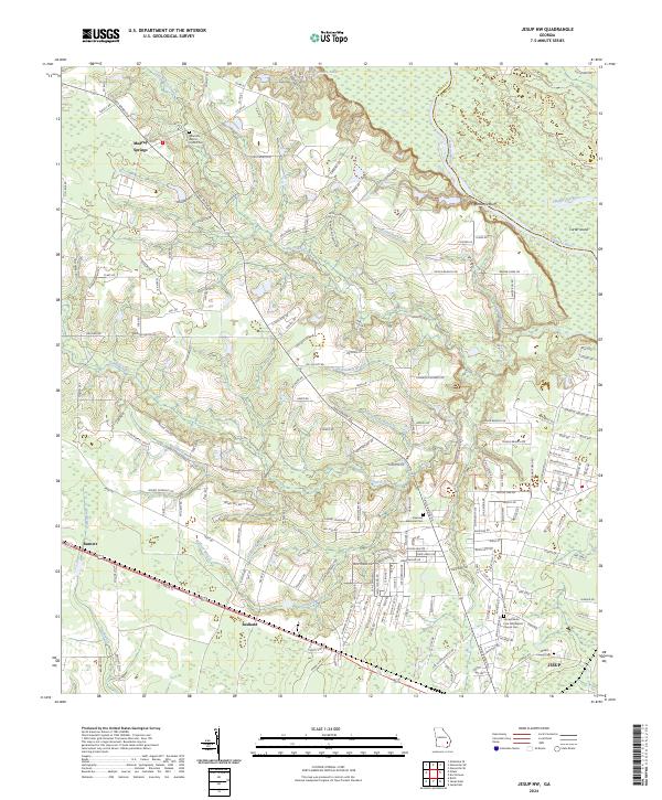 2024 Jesup NW2024 Print · USGSWayne County, Georgia, is documented here in a modern era of established rural communities and riverfront landscapes. Researchers can trace family history through local landmarks like Madray Springs or the Altamaha Baptist Church Cem.
 - 2024 Map of Glennville, 2024 Print
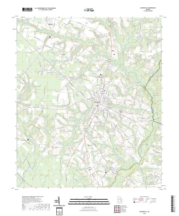 2024 Glennville2024 Print · USGSGlennville and its surrounding Tattnall County communities are captured here in the early twenty-first century, showing a landscape of family farms and memorial sites. Genealogists can trace family landmarks like the Surrency Cem or navigate rural routes such as Mendes School Rd and Ebenezer Church Rd.
 - 2024 Map of Walthourville, 2024 Print
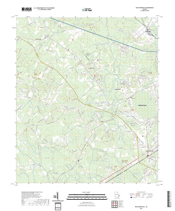 2024 Walthourville2024 Print · USGSLiberty and Long counties come together in this contemporary survey of the coastal plain. Genealogists can trace family names through the Liberty Baptist Church Cem and Barrett Cem or explore the rural hubs of Elim and Gum Branch.
Showing maps 1-25 of 32
Top cities of Long County
Frequently asked questions
- What are the different types of historical maps available for Long County?
- What is the oldest map of Long County?
- Where can I purchase historical maps of Long County for my home or office?
- Where can I download high-res historical maps of Long County?
- Are there historical topographic maps available for Long County?
- Is there historical aerial imagery available for Long County?
- Where are historical maps of Long County sourced from?