2000s (21st Century) Maps of Long County, Georgia
Explore 80 historic maps of Long County from the 2000s (21st Century). These maps offer a rare glimpse into what life looked like during the 2000s — showing old roads, neighborhoods, homes, and landmarks that have changed or disappeared over time.
Whether you're researching your family's past, planning a metal detecting trip, or studying how Long County's landscape evolved across the 2000s, these high-resolution maps are a powerful tool for exploring the history of this region.
- Focus on a specific era: All maps on this page are from the 2000s, giving you a focused view of this time period.
- See what’s changed: Compare century-old streets, trails, and buildings to today's modern landscape using overlays and satellite layers.
- Research with precision: Use these maps for genealogy, historical research, land use analysis, or educational projects.
- View, download, or print: Maps are fully viewable online in high resolution, and can be downloaded or printed for your own records.
Start exploring Long County's history through authentic maps from the 2000s. This is your window into the past.
Long County, GA maps
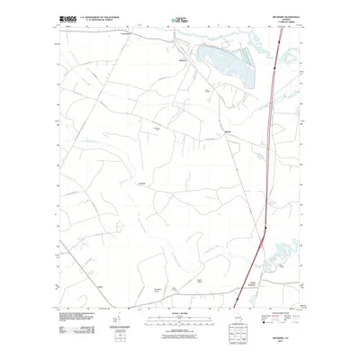
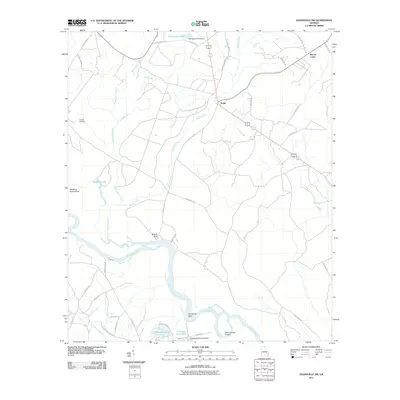
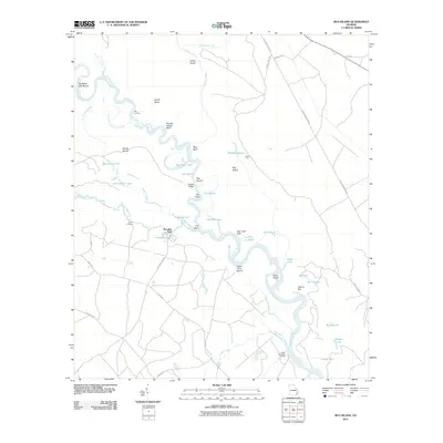
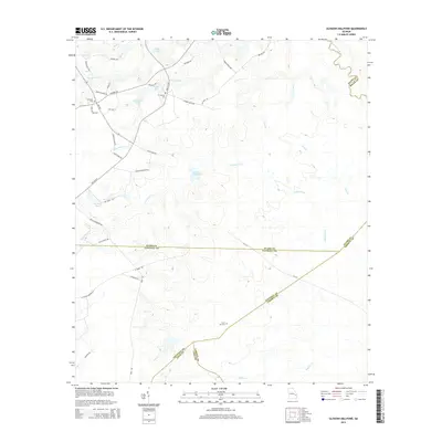
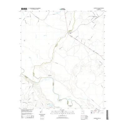
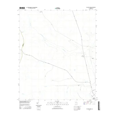
(80)- 2011 Map of Glissons Millpond, 2011 Print
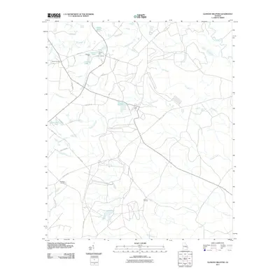 2011 Glissons Millpond2011 Print · USGSCovers Long County, including Camp Olvier, Liberty County, and other nearby areas
 - 2011 Map of Glennville SE, 2011 Print
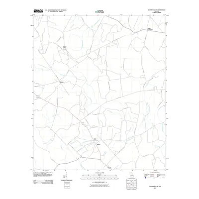 2011 Glennville SE2011 Print · USGSCovers Long County, including Donald, Smiley Crossroads, and other nearby areas
 - 2011 Map of Glennville NE, 2011 Print
 2011 Glennville NE2011 Print · USGSCovers Long County, including Liberty County, Tattnall County, and other nearby areas
 - 2011 Map of Hinesville, 2011 Print
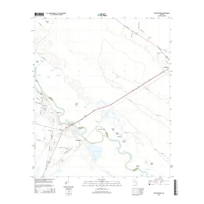
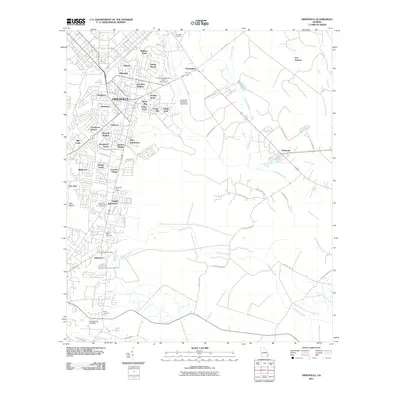 2011 Hinesville2011 Print · USGSCovers Long County, including Hinesville, Fort Stewart, and other nearby areas
 - 2011 Map of Ludowici, 2011 Print
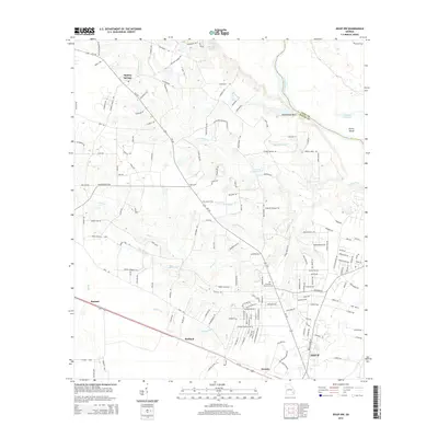
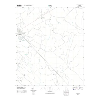 2011 Ludowici2011 Print · USGSCovers Long County, including Ludowici, United States, and other nearby areas
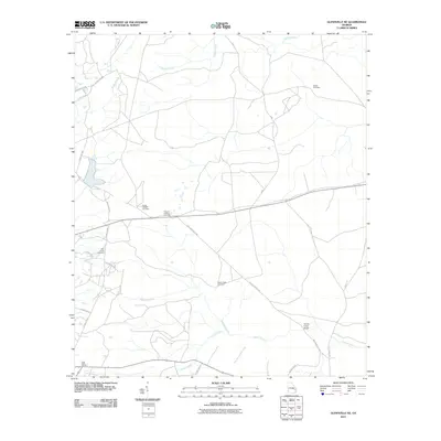
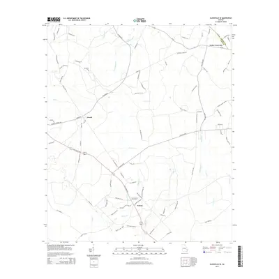
 - 2011 Map of Glennville, 2011 Print
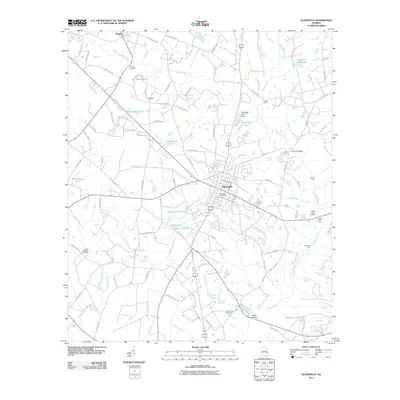 2011 Glennville2011 Print · USGSCovers Long County, including Glennville, Lynn, and other nearby areas
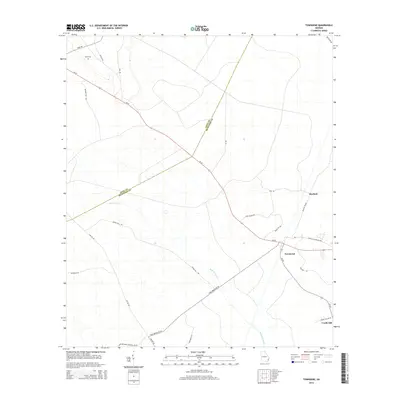
 - 2011 Map of Townsend, 2011 Print
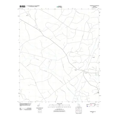 2011 Townsend2011 Print · USGSCovers Long County, including Credit Hill, Huxford, and other nearby areas
 - 2011 Map of Walthourville, 2011 Print
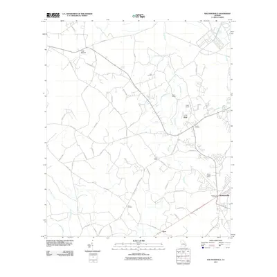 2011 Walthourville2011 Print · USGSCovers Long County, including Hinesville, Walthourville, and other nearby areas
 - 2011 Map of Taylors Creek, 2011 Print
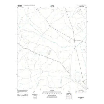 2011 Taylors Creek2011 Print · USGSCovers Long County, including Darlot, Liberty County, and other nearby areas
 - 2011 Map of Jesup NW, 2011 Print
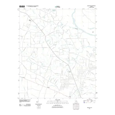 2011 Jesup NW2011 Print · USGSCovers Long County, including Jesup, Redland, and other nearby areas
 - 2011 Map of Doctortown, 2011 Print
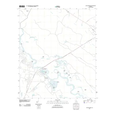 2011 Doctortown2011 Print · USGSCovers Long County, including Jesup, Ludowici, and other nearby areas
 - 2011 Map of Jesup East, 2011 Print
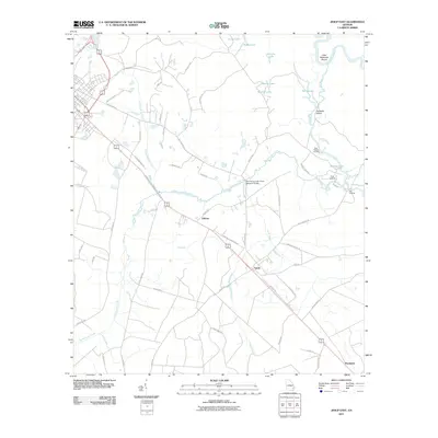 2011 Jesup East2011 Print · USGSCovers Long County, including Jesup, Gardi, and other nearby areas
 - 2011 Map of Riceboro, 2011 Print
 2011 Riceboro2011 Print · USGSCovers Long County, including Riceboro, Jones, and other nearby areas
 - 2011 Map of Glennville SW, 2011 Print
 2011 Glennville SW2011 Print · USGSCovers Long County, including Beards Creek, Noble, and other nearby areas
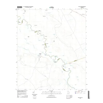
 - 2011 Map of Bug Island, 2011 Print
 2011 Bug Island2011 Print · USGSCovers Long County, including Paradise Park, Wayne County, and other nearby areas
 - 2011 Map of East of Ludowici, 2011 Print
 2011 East of Ludowici2011 Print · USGSCovers Long County, including Riceboro, Liberty County, and other nearby areas
 - 2014 Map of Glissons Millpond, 2014 Print
 2014 Glissons Millpond2014 Print · USGSCovers Long County, including Camp Olvier, Liberty County, and other nearby areas
 - 2014 Map of Glennville SW, 2014 Print
 2014 Glennville SW2014 Print · USGSCovers Long County, including Beards Creek, Noble, and other nearby areas
 - 2014 Map of East of Ludowici, 2014 Print
 2014 East of Ludowici2014 Print · USGSCovers Long County, including Riceboro, Liberty County, and other nearby areas
 - 2014 Map of Bug Island, 2014 Print
 2014 Bug Island2014 Print · USGSCovers Long County, including Paradise Park, Wayne County, and other nearby areas
 - 2014 Map of Townsend, 2014 Print
 2014 Townsend2014 Print · USGSCovers Long County, including Credit Hill, Huxford, and other nearby areas
 - 2014 Map of Glennville SE, 2014 Print
 2014 Glennville SE2014 Print · USGSCovers Long County, including Donald, Smiley Crossroads, and other nearby areas
 - 2014 Map of Taylors Creek, 2014 Print
 2014 Taylors Creek2014 Print · USGSCovers Long County, including Darlot, Liberty County, and other nearby areas
 - 2014 Map of Doctortown, 2014 Print
 2014 Doctortown2014 Print · USGSCovers Long County, including Jesup, Ludowici, and other nearby areas
 - 2014 Map of Jesup NW, 2014 Print
 2014 Jesup NW2014 Print · USGSCovers Long County, including Jesup, Redland, and other nearby areas
Showing maps 1-25 of 80
Top cities of Long County
Frequently asked questions
- What are the different types of historical maps available for Long County?
- What is the oldest map of Long County?
- Where can I purchase historical maps of Long County for my home or office?
- Where can I download high-res historical maps of Long County?
- Are there historical topographic maps available for Long County?
- Is there historical aerial imagery available for Long County?
- Where are historical maps of Long County sourced from?