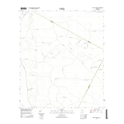
2014 Map of East of Ludowici
USGS Topo · Published 2014About this map
The S Newport River and Payne Cr drainage systems define this coastal Georgia landscape, which straddles the borders of Liberty, Long, and McIntosh counties. This 2014 survey documents a region defined by extensive timberlands and agricultural tracts, punctuated by family-named landmarks and rural burial grounds. For genealogists, the presence of Middleton Cem and Branson Cem provides specific points of interest for family history research.
Find a feature on this map
40 named features on this map. Tap any name to fly to it.
Don’t see what you’re looking for? This feature index may not catch every label — zoom into the map to look around manually.
Map Details
Editions of this 2014 East of Ludowici Map
This is the sole edition of this map. No revisions or reprints were ever made.
Other maps of this area

1918 · Hinesville
USGS Topo · 1:62,500

1920 · Sapelo River
USGS Topo · 1:62,500

1920 · Limerick
USGS Topo · 1:62,500

1943 · Ludowici
USGS Topo · 1:62,500

1943 · Sapelo River
USGS Topo · 1:62,500

1944 · Hinesville
USGS Topo · 1:62,500

1944 · Limerick
USGS Topo · 1:62,500

1945 · Sapelo River
USGS Topo · 1:62,500

1946 · Brunswick
USGS Topo · 1:250,000

1948 · Brunswick
USGS Topo · 1:250,000