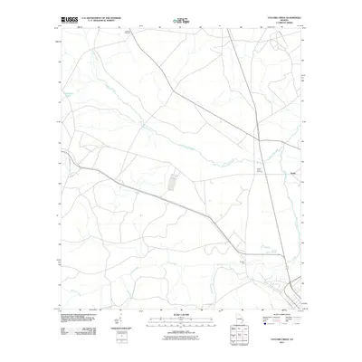
2011 Map of Taylors Creek
USGS Topo · Published 2011About this map
Canoochee Creek meanders through this portion of Liberty County, defining a landscape of low-lying wetlands and seasonal watercourses. The 2011 survey reveals a territory where local history is anchored by rural burial grounds, including the Todd-Ray Cemetery in the north and the Taylors Creek Cemetery further south. The settlement of Darlot sits near the eastern edge of the quadrangle, where the terrain begins to slope toward the banks of Taylors Creek.
Find a feature on this map
11 named features on this map. Tap any name to fly to it.
Don’t see what you’re looking for? This feature index may not catch every label — zoom into the map to look around manually.
Map Details
Editions of this 2011 Taylors Creek Map
This is the sole edition of this map. No revisions or reprints were ever made.
Other maps of this area

1918 · Hinesville
USGS Topo · 1:62,500

1919 · Claxton
USGS Topo · 1:62,500

1920 · Pembroke
USGS Topo · 1:62,500

1920 · Glennville
USGS Topo · 1:62,500

1944 · Claxton
USGS Topo · 1:62,500

1944 · Glennville
USGS Topo · 1:62,500

1944 · Hinesville
USGS Topo · 1:62,500

1946 · Brunswick
USGS Topo · 1:250,000

1947 · Savannah
USGS Topo · 1:250,000

1948 · Brunswick
USGS Topo · 1:250,000