Old Maps of Comer, Georgia for Hiking & Exploration
Hike through history with 17 historic maps of Comer. Explore old trails, ghost towns, and forgotten backroads — perfect for outdoor adventurers and local explorers.
- Rediscover forgotten places: Map out old mining camps, roads, and footpaths that no longer exist on modern maps.
- Layer with modern tools: Combine with LiDAR or satellite views to plan hikes through historical terrain.
- Made for exploration: Popular among hikers, overlanders, and local history lovers.
Use these maps to find adventure and explore the hidden past of Comer.
Comer, GA maps
(17)- 1891 Map of Carnesville
 1891 Carnesville1891 Print · USGSNortheast Georgia in the late nineteenth century is documented here as a landscape of small river settlements and emerging rail towns. Genealogists can trace family roots through locations like Jewellville, Fort Lamar, and the river crossing at Braggs Fy.6 unique versions available
 - 1954 Map of Greenville, 1965 Print
 1954 Greenville1965 Print · USGSThe Upstate and Northeast Georgia are captured here during a decade of massive transformation as new reservoirs reshaped the Piedmont. Genealogists and hikers can trace the Appalachian Trail over Brasstown Bald or locate old community centers like Demorest, Westminster, and Royston.3 unique versions available
 - 1958 Map of Greenville
 1958 Greenville1958 Print · USGSThe Piedmont and Blue Ridge foothills come alive in this mid-century survey of the Upstate and Northeast Georgia. Trace the regional rail-and-river economy through the Southern Railway corridors and early reservoir developments like Lake Sidney Lanier.
 - 1958 Map of Danielsville, 1959 Print
 1958 Danielsville1959 Print · USGSNortheast Georgia at the end of the fifties reveals a landscape defined by the Broad River and a dense network of rural parish life. Genealogists can trace family roots through numerous local landmarks like Harrison Sch, Masons Mill, and Vanna Chapel.
 - 1972 Map of Danielsville South, 1974 Print
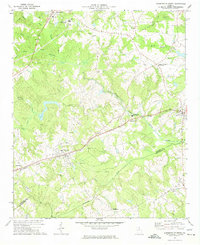 1972 Danielsville South1974 Print · USGSMadison County's agricultural and transit corridors are captured here during the 1970s. Genealogists and historians can trace family locations through numerous rural landmarks like Collier Ch, the Hitchcock Cem, and the path of the Seaboard Coast Line railroad.
 - 1972 Map of Carlton, 1974 Print
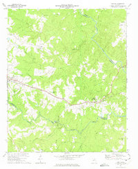 1972 Carlton1974 Print · USGSMadison and Elbert counties meet along the river in the early 1970s, as rural life centered on the SEABOARD COAST LINE rail corridor. Genealogists can trace family landmarks like Thankful Grove Ch, Old Fork Cem, and the historic WATSON MILL.
 - 1979 Map of Commerce, 1980 Print
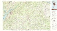 1979 Commerce1980 Print · USGSThe Georgia and South Carolina Piedmont reached a period of significant regional growth in the late seventies. Genealogists and historians can trace family roots through locations like Blackberry Church, Old Pioneer Cem, and the Gillsville Sch.2 unique versions available
 - 2011 Map of Danielsville South, 2011 Print
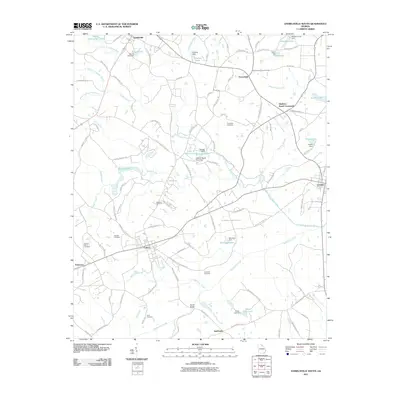 2011 Danielsville South2011 Print · USGSMadison County at the start of the 2010s shows a landscape defined by its river forks and small-town junctions. Genealogists can trace family roots through Thompson Cemetery and Sorrow-Mann Cemetery, or explore the settlement patterns around Colbert and Smithonia.
 - 2011 Map of Carlton, 2011 Print
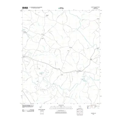 2011 Carlton2011 Print · USGSNortheast Georgia in the early twenty-first century reveals a landscape of enduring rural communities and complex river systems. Researchers can trace family history through sites like Old Fork Cemetery, the crossroads at Paoli, and the historic Steel Bridge.
 - 2014 Map of Danielsville South, 2014 Print
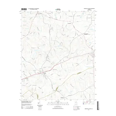 2014 Danielsville South2014 Print · USGSMadison County's rural heartland is documented here in the early twenty-first century, showing the established communities of Colbert and Comer. Researchers can locate numerous family burial sites like Hitchcock Cem and Meadow Cem or trace the path of the South Fork Broad River.
 - 2014 Map of Carlton, 2014 Print
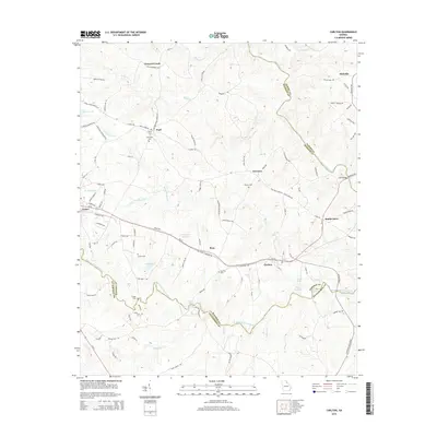 2014 Carlton2014 Print · USGSGeorgia's Piedmont region in the early twenty-first century reveals a network of river-bound communities across Madison and Oglethorpe counties. Genealogists and local historians can trace family roots through sites like Cooper Cem and Powers Cem or locate old crossings at Steel Bridge.
 - 2017 Map of Danielsville South, 2017 Print
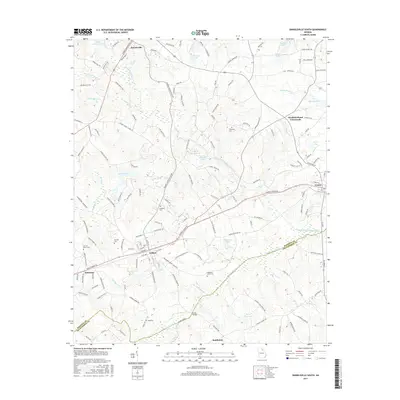 2017 Danielsville South2017 Print · USGSMadison County at the turn of the century shows a landscape defined by small-town hubs and rural family homesteads. Genealogists can trace local heritage through sites like Colbert School, Gholston Stand Crossroads, and the Meadow Cem.
 - 2017 Map of Carlton, 2017 Print
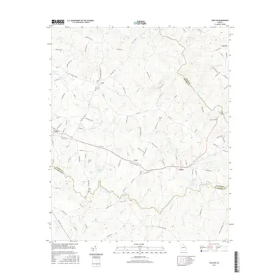 2017 Carlton2017 Print · USGSThe Georgia Piedmont near the Oglethorpe and Madison county lines is captured here in the late 2010s. Genealogists can trace family lineages through local burial sites such as David Cem and Cooper Cem, or locate landmarks like Steel Bridge.
 - 2020 Map of Carlton, 2020 Print
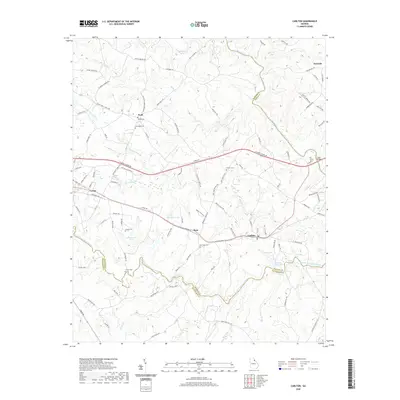 2020 Carlton2020 Print · USGSMadison and Oglethorpe Counties are captured in this modern survey of the Georgia Piedmont at the confluence of several major waterways. Genealogists and local historians can trace family locations through David Cem, Old Fork Cem, and the rural settlements of Paoli and Ross.
 - 2020 Map of Danielsville South, 2020 Print
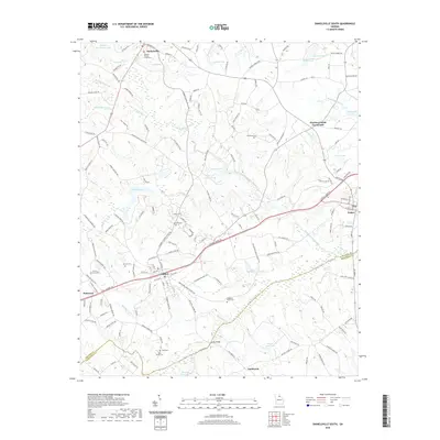 2020 Danielsville South2020 Print · USGSMadison County's rural heartland is meticulously documented in this recent survey, showcasing the enduring settlement patterns between Danielsville and Comer. Genealogists can trace family heritage through numerous sites like Kincaid Cem, Sorrow Mann Cem, and the Kidd Family Cem.
 - 2024 Map of Danielsville South, 2024 Print
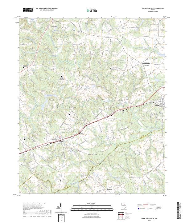 2024 Danielsville South2024 Print · USGSNortheastern Georgia's rolling landscape is captured in the modern era as Danielsville and Colbert continue to serve as local hubs. Genealogists can trace family lines at several small burial grounds, including Kincaid Cem and Waggoner Grove Cem.
 - 2024 Map of Carlton, 2024 Print
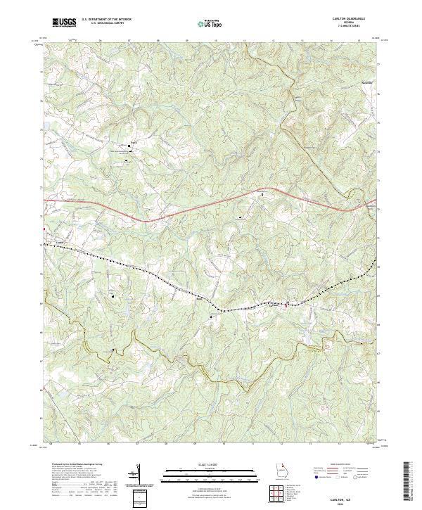 2024 Carlton2024 Print · USGSNortheast Georgia at the turn of the decade is defined by the convergence of the Broad River and its South Fork near the town of Carlton. Genealogists and historians can trace old family burial grounds like Old Fork Cem and find historical river crossings at Moon Ferry or Harpers Ferry.
End of results
Showing maps 1-17 of 17
Top cities near Comer
- Athens historical maps
- Elberton historical maps
- Royston historical maps
- Winterville historical maps
- Franklin Springs historical maps
- Bowman historical maps
See more
Frequently asked questions
- What are the different types of historical maps available for Comer?
- What is the oldest map of Comer?
- Where can I purchase historical maps of Comer for my home or office?
- Where can I download high-res historical maps of Comer?
- Are there historical topographic maps available for Comer?
- Is there historical aerial imagery available for Comer?
- Where are historical maps of Comer sourced from?