Old Maps of Madison, Georgia for Genealogy
Trace your family roots with 19 historic maps of Madison. These high-res maps reveal old neighborhoods, homesites, landmarks, and streets — helping you uncover where your ancestors lived and how the area evolved over time.
- Explore historic neighborhoods: Identify where your relatives may have lived in the 1800s or 1900s.
- Compare maps over time: Trace the changes in streets, buildings, and landmarks for multi-generational research.
- Perfect for genealogy & ancestry research: Used by family historians and researchers to map out lineage and migration.
These maps are an incredible resource for exploring your personal connection to Madison's past.
Madison, GA maps
(19)- 1896 Map of Monroe
 1896 Monroe1896 Print · USGSNorth-central Georgia thrives during the late nineteenth century as a hub of river-powered industry and rail expansion. Genealogists and historians can trace family locations near Salem Camp Ground, the local commerce at Carithers Store, and several early crossings like Bells Bridge.5 unique versions available
 - 1953 Map of Athens, 1966 Print
 1953 Athens1966 Print · USGSGeorgia's Piedmont and Savannah River borderlands come alive in this mid-century survey of the region surrounding Athens and Augusta. Trace the rail-and-river economy through the Georgia RR and landmarks like the Fort Gordon Military Reservation.3 unique versions available
 - 1958 Map of Athens
 1958 Athens1958 Print · USGSNorth-central Georgia and the Savannah River valley are captured in the late fifties, showing the region as the new reservoirs were filling. Researchers can trace historic rail lines like the Georgia RR and locate rural landmarks such as Social Circle, Graves Mountain, and the Fort Gordon Military Reservation.
 - 1959 Map of Athens
 1959 Athens1959 Print · USGSNortheast Georgia and the South Carolina borderlands appear here in the mid-fifties, during a decade of infrastructure growth. Genealogists and historians can trace the rail-and-river geography of towns like Social Circle, the sprawl of Fort Gordon Military Reservation, and the newly formed Clark Hill Reservoir.
 - 1963 Map of Athens
 1963 Athens1963 Print · USGSGeorgia's Piedmont and the Savannah River valley are captured in the early sixties as major reservoirs and military installations reshaped the landscape. Researchers can trace the development of Clark Hill Reservoir, locate the Fort Gordon Military Reservation, and find historic towns like Social Circle and Eatonton.
 - 1972 Map of Rutledge South, 1974 Print
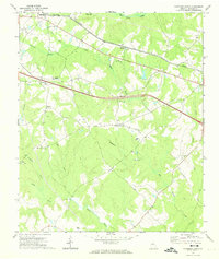 1972 Rutledge South1974 Print · USGSMorgan County is shown in the early seventies as a rural landscape of scattered communities and creek-fed bottomlands. Genealogists and historians can trace family locations through numerous landmarks like Macedonia Ch, Clack Bridge, and Monleys Chapel.2 unique versions available
 - 1972 Map of Madison, 1974 Print
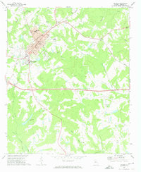 1972 Madison1974 Print · USGSMadison and its rural surroundings are captured in the early 1970s, showcasing a landscape where traditional rail-lines meet modern development. Genealogists and historians can trace numerous rural congregations like Smyrna Ch and schools such as Pearl Jr High Sch.2 unique versions available
 - 1980 Map of Athens, 1981 Print
 1980 Athens1981 Print · USGSNorth Georgia in the early eighties exhibits a landscape of growing university towns and deep-rooted rail hubs. Genealogists can trace family lands near Social Circle or Watkinsville while following the routes of the Central of Georgia and the Appalachee River.2 unique versions available
 - 1988 Map of Athens
 1988 Athens1988 Print · USGSThe Georgia Piedmont and South Carolina borderlands appear in the late eighties as a landscape of vast reservoirs and growing towns. Researchers can trace the legacy of the Georgia RR connecting Athens and Augusta, or locate landmarks within Oconee National Forest.
 - 2011 Map of Madison, 2011 Print
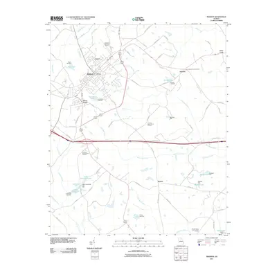 2011 Madison2011 Print · USGSMadison and its surrounding rural communities are captured here in the early twenty-first century, showing a mix of historic settlement patterns and modern transit corridors. Genealogists can locate family sites near the Plainview Baptist Church Cemetery, Smyrna, and Bethany.
 - 2011 Map of Rutledge South, 2011 Print
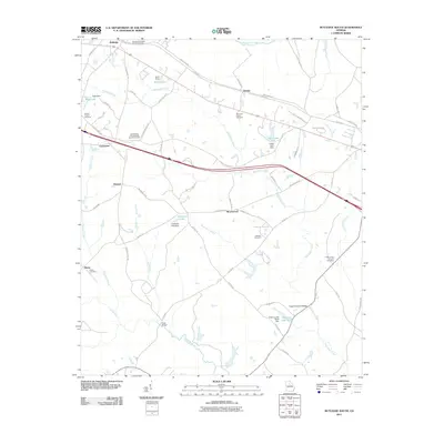 2011 Rutledge South2011 Print · USGSMorgan County rural life is well-preserved in this study of the communities south of Rutledge. Researchers can trace family history through numerous burial grounds like Mars Hill Church Cemetery and Thankful Cemetery, or locate old crossings at Clack Bridge.
 - 2014 Map of Madison, 2014 Print
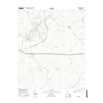 2014 Madison2014 Print · USGSMadison and its rural Morgan County neighbors appear in clear detail during the early twenty-first century. Researchers can trace family roots through numerous burial sites like Barrows Grove Cem or locate the historic street layouts of Canaan and Beacon Heights.
 - 2014 Map of Rutledge South, 2014 Print
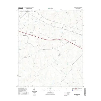 2014 Rutledge South2014 Print · USGSMorgan County's rural character and long-standing family settlements are documented in this recent survey of the Georgia Piedmont. Genealogists and historians can locate numerous family-named landmarks and historic burials, from Reese Cem to the Wallace Grove Baptist Church Cem near Dickson.
 - 2017 Map of Rutledge South, 2017 Print
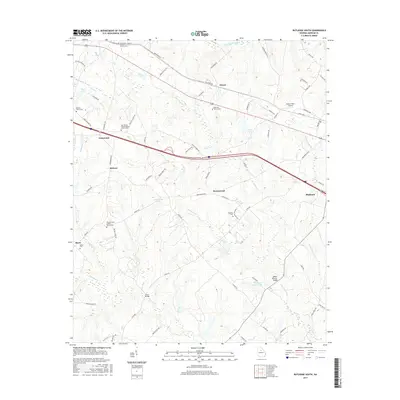 2017 Rutledge South2017 Print · USGSMorgan County in the early twenty-first century reveals a landscape of quiet rural crossroads and family lineages. Genealogists can trace property roots near Mars Hill Church Cemetery, Clack Bridge, and the small settlement at Dorsey.
 - 2017 Map of Madison, 2017 Print
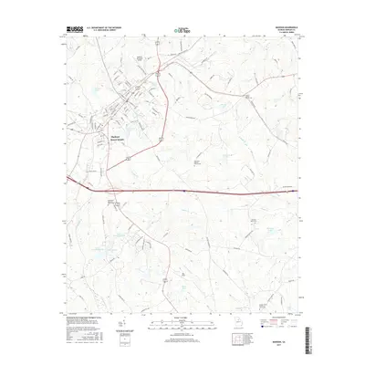 2017 Madison2017 Print · USGSMadison and its surrounding Morgan County environs are captured here in the late 2010s. Researchers can trace local lineage through numerous church sites and burial grounds like Smyrna Baptist Church Cem, Barrows Grove Cem, and Beacon Heights.
 - 2020 Map of Rutledge South, 2020 Print
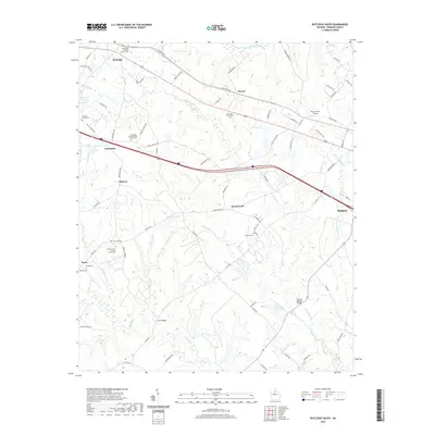 2020 Rutledge South2020 Print · USGSMorgan County is shown here in the contemporary era as a network of rural hamlets and historic churchyards. Genealogists and historians can trace family ties at the Wallace Grove Baptist Church Cem, Reese Cem, and the crossing at Clack Bridge.
 - 2020 Map of Madison, 2020 Print
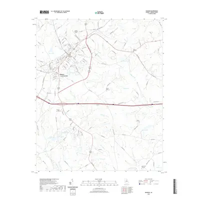 2020 Madison2020 Print · USGSMadison and its surrounding Morgan County environs are captured here in the early twenty-first century, showing a mix of municipal growth and rural legacy. Researchers can locate family landmarks at Barrows Grove Cem or trace the waters of McGuery Lake and Speeds Br.
 - 2024 Map of Rutledge South, 2024 Print
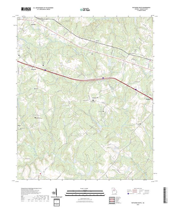 2024 Rutledge South2024 Print · USGSMorgan County is shown in recent detail as a landscape of rural churches and family cemeteries along the Big Indian Creek corridor. Genealogists can trace family roots at Mars Hill Cem, Thankful Cem, and the Wallace Grove Baptist Church Cem.
 - 2024 Map of Madison, 2024 Print
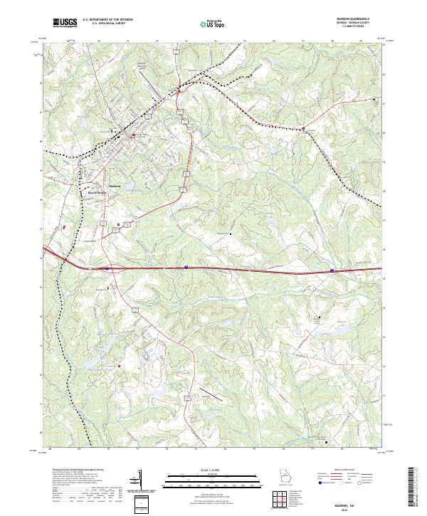 2024 Madison2024 Print · USGSMadison and its surrounding Morgan County hills are seen here in the current era, showing a landscape defined by historic town squares and rural cemeteries. Researchers can trace family history at the Jones Family Cem, Fairview Cem, and Bethlehem Cem.
End of results
Showing maps 1-19 of 19
Top cities near Madison
- Monroe historical maps
- Eatonton historical maps
- Social Circle historical maps
- Rutledge historical maps
- Newborn historical maps
- Bostwick historical maps
See more
Top neighborhoods of Madison
Frequently asked questions
- What are the different types of historical maps available for Madison?
- What is the oldest map of Madison?
- Where can I purchase historical maps of Madison for my home or office?
- Where can I download high-res historical maps of Madison?
- Are there historical topographic maps available for Madison?
- Is there historical aerial imagery available for Madison?
- Where are historical maps of Madison sourced from?