2000s (21st Century) Maps of Rutledge, Georgia
Explore 20 historic maps of Rutledge from the 2000s (21st Century). These maps offer a rare glimpse into what life looked like during the 2000s — showing old roads, neighborhoods, homes, and landmarks that have changed or disappeared over time.
Whether you're researching your family's past, planning a metal detecting trip, or studying how Rutledge's landscape evolved across the 2000s, these high-resolution maps are a powerful tool for exploring the history of this region.
- Focus on a specific era: All maps on this page are from the 2000s, giving you a focused view of this time period.
- See what’s changed: Compare century-old streets, trails, and buildings to today's modern landscape using overlays and satellite layers.
- Research with precision: Use these maps for genealogy, historical research, land use analysis, or educational projects.
- View, download, or print: Maps are fully viewable online in high resolution, and can be downloaded or printed for your own records.
Start exploring Rutledge's history through authentic maps from the 2000s. This is your window into the past.
Rutledge, GA maps
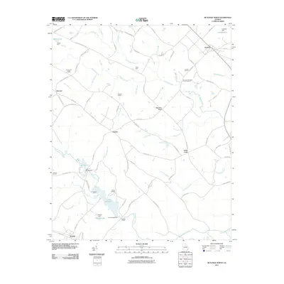
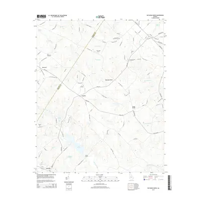
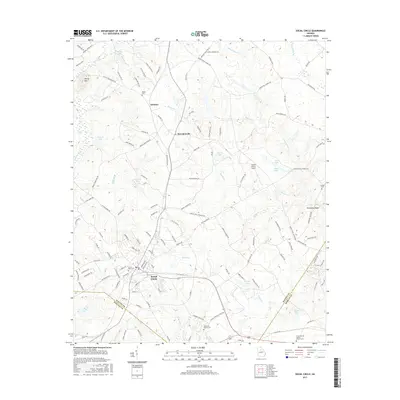
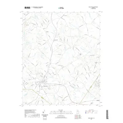
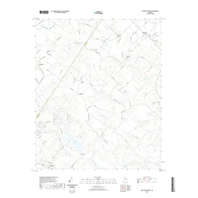
(20)- 2011 Map of Rutledge South, 2011 Print
 2011 Rutledge South2011 Print · USGSCovers Rutledge, including Madison, Reese, and other nearby areas
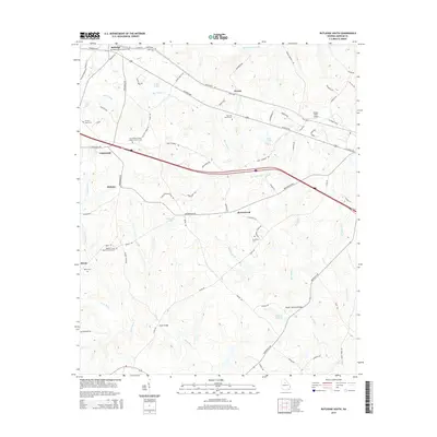
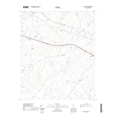
 - 2011 Map of Rutledge North, 2011 Print
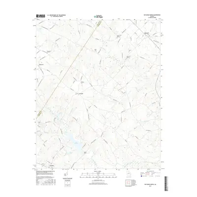
 2011 Rutledge North2011 Print · USGSCovers Rutledge, including Bostwick, Sandy Creek, and other nearby areas
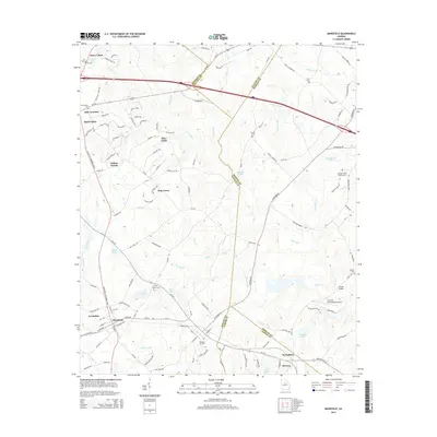
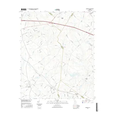
 - 2011 Map of Mansfield, 2011 Print
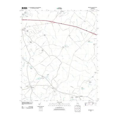 2011 Mansfield2011 Print · USGSCovers Rutledge, including Social Circle, Newborn, and other nearby areas
 - 2011 Map of Social Circle, 2011 Print
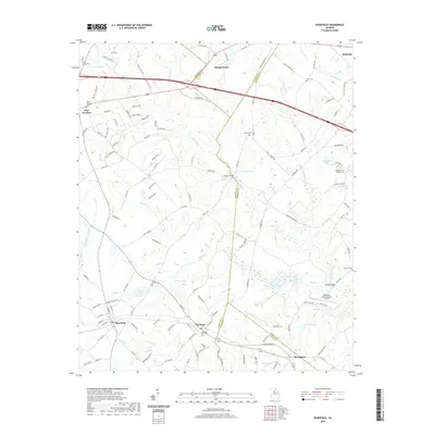
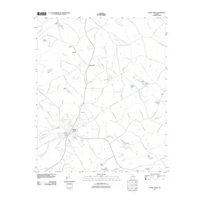 2011 Social Circle2011 Print · USGSCovers Rutledge, including Social Circle, Whitney, and other nearby areas
 - 2014 Map of Social Circle, 2014 Print
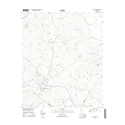 2014 Social Circle2014 Print · USGSCovers Rutledge, including Social Circle, Whitney, and other nearby areas
 - 2014 Map of Rutledge North, 2014 Print
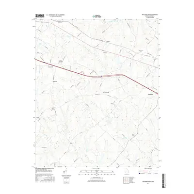
 2014 Rutledge North2014 Print · USGSCovers Rutledge, including Bostwick, Sandy Creek, and other nearby areas
 - 2014 Map of Mansfield, 2014 Print
 2014 Mansfield2014 Print · USGSCovers Rutledge, including Social Circle, Newborn, and other nearby areas
 - 2014 Map of Rutledge South, 2014 Print
 2014 Rutledge South2014 Print · USGSCovers Rutledge, including Madison, Reese, and other nearby areas
 - 2017 Map of Rutledge South, 2017 Print
 2017 Rutledge South2017 Print · USGSCovers Rutledge, including Madison, Reese, and other nearby areas
 - 2017 Map of Social Circle, 2017 Print
 2017 Social Circle2017 Print · USGSCovers Rutledge, including Social Circle, Whitney, and other nearby areas
 - 2017 Map of Mansfield, 2017 Print
 2017 Mansfield2017 Print · USGSCovers Rutledge, including Social Circle, Newborn, and other nearby areas
 - 2017 Map of Rutledge North, 2017 Print
 2017 Rutledge North2017 Print · USGSCovers Rutledge, including Bostwick, Sandy Creek, and other nearby areas
 - 2020 Map of Social Circle, 2020 Print
 2020 Social Circle2020 Print · USGSCovers Rutledge, including Social Circle, Whitney, and other nearby areas
 - 2020 Map of Rutledge North, 2020 Print
 2020 Rutledge North2020 Print · USGSCovers Rutledge, including Bostwick, Sandy Creek, and other nearby areas
 - 2020 Map of Rutledge South, 2020 Print
 2020 Rutledge South2020 Print · USGSCovers Rutledge, including Madison, Reese, and other nearby areas
 - 2020 Map of Mansfield, 2020 Print
 2020 Mansfield2020 Print · USGSCovers Rutledge, including Social Circle, Newborn, and other nearby areas
 - 2024 Map of Rutledge North, 2024 Print
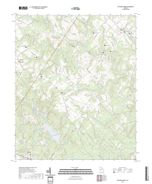 2024 Rutledge North2024 Print · USGSMorgan County is shown here in its modern rural character, defined by small settlements and historic family landholdings. Genealogists can trace ancestral sites like the Almand - Malcolm Cem, Baccus Family Cem, and Ebenezer Baptist Church Cem.
 - 2024 Map of Rutledge South, 2024 Print
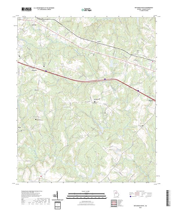 2024 Rutledge South2024 Print · USGSMorgan County is shown in recent detail as a landscape of rural churches and family cemeteries along the Big Indian Creek corridor. Genealogists can trace family roots at Mars Hill Cem, Thankful Cem, and the Wallace Grove Baptist Church Cem.
 - 2024 Map of Mansfield, 2024 Print
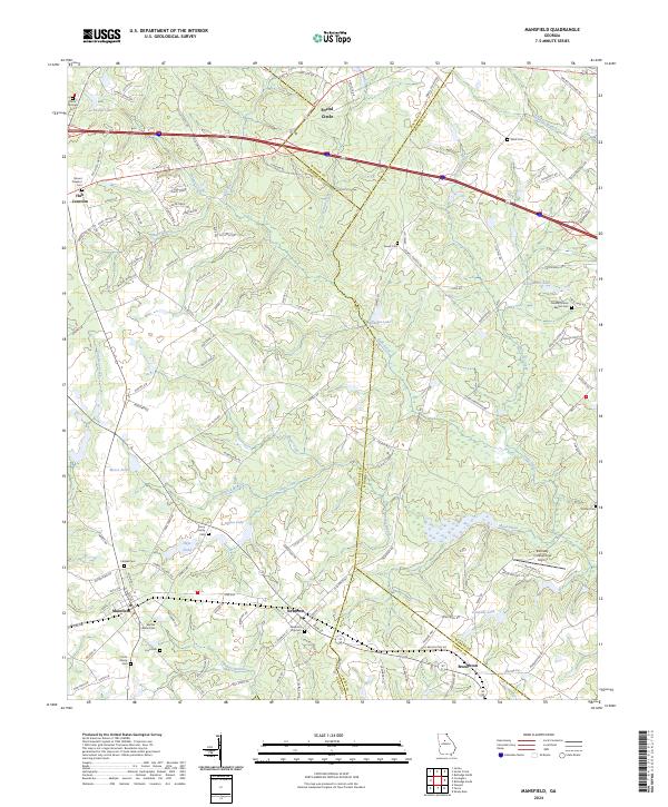 2024 Mansfield2024 Print · USGSNewton and Walton counties appear here as they are today, showing a landscape defined by the Little River and historic crossroads. Researchers can trace family sites at the Newborn City Cem or Harris Springs Cem and locate rural landmarks like Hub Junction.
 - 2024 Map of Social Circle, 2024 Print
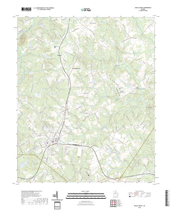 2024 Social Circle2024 Print · USGSSocial Circle and its surrounding Walton County countryside are captured here in the early twenty-first century as the area maintains its historic crossroads character. Genealogists can locate numerous burial sites like Circle View Cem and Hollis and Sigman Cem near the CSX Transportation rail line.
End of results
Showing maps 1-20 of 20
Top cities near Rutledge
- Athens historical maps
- Covington historical maps
- Monroe historical maps
- Social Circle historical maps
- Madison historical maps
- Watkinsville historical maps
See more
Frequently asked questions
- What are the different types of historical maps available for Rutledge?
- What is the oldest map of Rutledge?
- Where can I purchase historical maps of Rutledge for my home or office?
- Where can I download high-res historical maps of Rutledge?
- Are there historical topographic maps available for Rutledge?
- Is there historical aerial imagery available for Rutledge?
- Where are historical maps of Rutledge sourced from?