Old Maps of Rutledge, Georgia for Academic Research
Study the evolution of Rutledge with 31 high-resolution historic maps. Whether you're teaching, researching, or modeling changes in land use, these maps provide essential visual documentation of urban, environmental, and geographic change.
- Analyze long-term change: Track patterns in development, transportation, and natural features.
- Ideal for environmental or urban studies: Support academic projects with primary historical map data.
- Use in the classroom or lab: Educators and researchers rely on these maps to bring historical context to life.
These maps are a powerful tool for teaching, research, and visualizing how Rutledge has changed over the decades.
Rutledge, GA maps
(31)- 1896 Map of Monroe
 1896 Monroe1896 Print · USGSNorth-central Georgia thrives during the late nineteenth century as a hub of river-powered industry and rail expansion. Genealogists and historians can trace family locations near Salem Camp Ground, the local commerce at Carithers Store, and several early crossings like Bells Bridge.5 unique versions available
 - 1953 Map of Athens, 1966 Print
 1953 Athens1966 Print · USGSGeorgia's Piedmont and Savannah River borderlands come alive in this mid-century survey of the region surrounding Athens and Augusta. Trace the rail-and-river economy through the Georgia RR and landmarks like the Fort Gordon Military Reservation.3 unique versions available
 - 1958 Map of Athens
 1958 Athens1958 Print · USGSNorth-central Georgia and the Savannah River valley are captured in the late fifties, showing the region as the new reservoirs were filling. Researchers can trace historic rail lines like the Georgia RR and locate rural landmarks such as Social Circle, Graves Mountain, and the Fort Gordon Military Reservation.
 - 1959 Map of Athens
 1959 Athens1959 Print · USGSNortheast Georgia and the South Carolina borderlands appear here in the mid-fifties, during a decade of infrastructure growth. Genealogists and historians can trace the rail-and-river geography of towns like Social Circle, the sprawl of Fort Gordon Military Reservation, and the newly formed Clark Hill Reservoir.
 - 1963 Map of Athens
 1963 Athens1963 Print · USGSGeorgia's Piedmont and the Savannah River valley are captured in the early sixties as major reservoirs and military installations reshaped the landscape. Researchers can trace the development of Clark Hill Reservoir, locate the Fort Gordon Military Reservation, and find historic towns like Social Circle and Eatonton.
 - 1971 Map of Rutledge North, 1974 Print
 1971 Rutledge North1974 Print · USGSThe rural communities of Morgan and Walton Counties are captured here in the early 1970s, from the streets of Bostwick to the recreation areas at Lake Rutledge. Genealogists and local historians can trace legacy landmarks like Gibbs Memorial Ch, Chestnut Grove Ch, and the crossroads at Fairplay.2 unique versions available
 - 1971 Map of Social Circle, 1974 Print
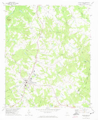 1971 Social Circle1974 Print · USGSSocial Circle and its neighboring rural communities are captured here in the early seventies, centered on the Georgia Railroad corridor. Researchers can locate family landmarks like Annie Mary Ch, Circle View Cem, and the small settlement of Herndonville.3 unique versions available
 - 1972 Map of Rutledge South, 1974 Print
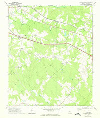 1972 Rutledge South1974 Print · USGSMorgan County is shown in the early seventies as a rural landscape of scattered communities and creek-fed bottomlands. Genealogists and historians can trace family locations through numerous landmarks like Macedonia Ch, Clack Bridge, and Monleys Chapel.2 unique versions available
 - 1972 Map of Mansfield, 1974 Print
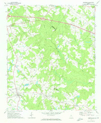 1972 Mansfield1974 Print · USGSNewton County in the early seventies remains a landscape of rail-connected towns and country churches. Genealogists can trace family names and old landmarks across the Central of Georgia line between Mansfield and the historic Brick Store settlement.2 unique versions available
 - 1980 Map of Athens, 1981 Print
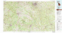 1980 Athens1981 Print · USGSNorth Georgia in the early eighties exhibits a landscape of growing university towns and deep-rooted rail hubs. Genealogists can trace family lands near Social Circle or Watkinsville while following the routes of the Central of Georgia and the Appalachee River.2 unique versions available
 - 1988 Map of Athens
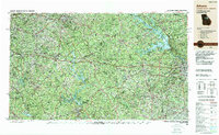 1988 Athens1988 Print · USGSThe Georgia Piedmont and South Carolina borderlands appear in the late eighties as a landscape of vast reservoirs and growing towns. Researchers can trace the legacy of the Georgia RR connecting Athens and Augusta, or locate landmarks within Oconee National Forest.
 - 2011 Map of Rutledge South, 2011 Print
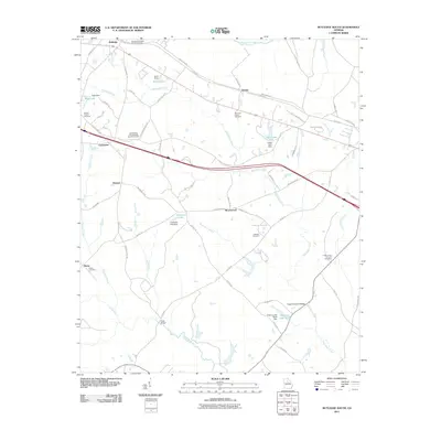 2011 Rutledge South2011 Print · USGSMorgan County rural life is well-preserved in this study of the communities south of Rutledge. Researchers can trace family history through numerous burial grounds like Mars Hill Church Cemetery and Thankful Cemetery, or locate old crossings at Clack Bridge.
 - 2011 Map of Rutledge North, 2011 Print
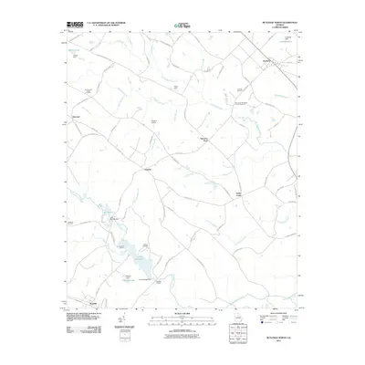 2011 Rutledge North2011 Print · USGSMorgan County's rural heartland is captured here in the early twenty-first century, showing a landscape of family farms and small crossroads. Researchers can trace local heritage at the Studdard Cemetery or find historic hubs like Malcolms Store and Fambro Bridge.
 - 2011 Map of Mansfield, 2011 Print
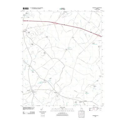 2011 Mansfield2011 Print · USGSNewton and Walton counties are captured here during a period of modern growth mixed with deep-rooted rural history. Family researchers can trace the locations of the Perry Family Cemetery and Sewell Cemetery alongside landmarks like Cooper Bridge.
 - 2011 Map of Social Circle, 2011 Print
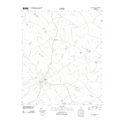 2011 Social Circle2011 Print · USGSSocial Circle and its surrounding Walton County landscape are shown here in the early twenty-first century as they balance rural roots with modern development. Genealogists and researchers can locate family sites such as the Hollis and Sigman Cemetery, Moore Cemetery, and the Union Springs Baptist Church Cemetery.
 - 2014 Map of Social Circle, 2014 Print
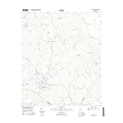 2014 Social Circle2014 Print · USGSSocial Circle and its rural surroundings are captured in this mid-2010s survey, showing the town's expansion toward the Morgan and Newton county lines. Genealogists can trace family sites like Circle View Cem and Moore Cem or landmarks such as Alcovy Mtn.
 - 2014 Map of Rutledge North, 2014 Print
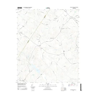 2014 Rutledge North2014 Print · USGSThe rural borderlands of Walton and Morgan counties appear here in the early twenty-first century, centered on the community of Fairplay. Researchers can locate family landmarks like the Studdard Cem, Malcolms Store, and the waters of Lake Rutledge.
 - 2014 Map of Mansfield, 2014 Print
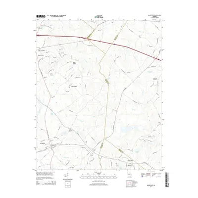 2014 Mansfield2014 Print · USGSMansfield and its neighboring Georgia countryside appear in 2014 as a patchwork of timbered creeks and small-town junctions. Genealogists and historians can trace family ties at the Newborn City Cemetery or locate the Kennedy Intranational Airport and Durden Bridge.
 - 2014 Map of Rutledge South, 2014 Print
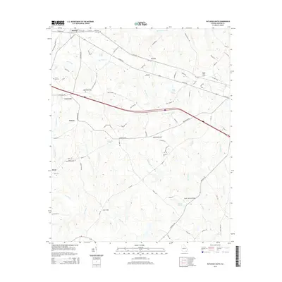 2014 Rutledge South2014 Print · USGSMorgan County's rural character and long-standing family settlements are documented in this recent survey of the Georgia Piedmont. Genealogists and historians can locate numerous family-named landmarks and historic burials, from Reese Cem to the Wallace Grove Baptist Church Cem near Dickson.
 - 2017 Map of Rutledge South, 2017 Print
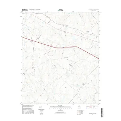 2017 Rutledge South2017 Print · USGSMorgan County in the early twenty-first century reveals a landscape of quiet rural crossroads and family lineages. Genealogists can trace property roots near Mars Hill Church Cemetery, Clack Bridge, and the small settlement at Dorsey.
 - 2017 Map of Social Circle, 2017 Print
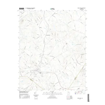 2017 Social Circle2017 Print · USGSSocial Circle and its surrounding crossroads are captured here during a period of modern growth in Walton County. Researchers can trace the lineage of the land through sites like Union Springs Baptist Church Cem, the heights of Alcovy Mtn, and the rails of CSX Transportation.
 - 2017 Map of Mansfield, 2017 Print
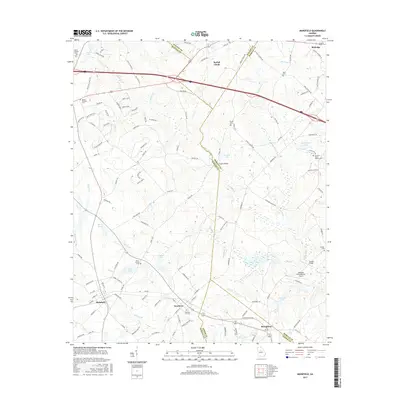 2017 Mansfield2017 Print · USGSThe intersection of four Georgia counties comes into focus in the late 2010s, centered on the historic settlements of Social Circle and Newborn. Genealogists can locate several burial sites like Mount Pleasant Cem and Harris Springs Cem, while aviation enthusiasts can spot the Kennedy Intranational Airport.
 - 2017 Map of Rutledge North, 2017 Print
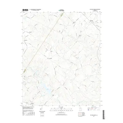 2017 Rutledge North2017 Print · USGSMorgan County's northern corridor comes into focus in this recent survey of the lands between Bostwick and Rutledge. Genealogists can trace family heritage through local landmarks like Whitlock Cem and the Studdard Cem near Hard Labor Creek.
 - 2020 Map of Social Circle, 2020 Print
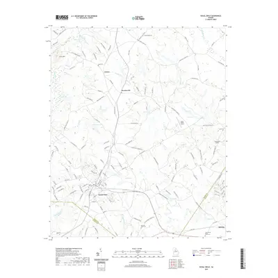 2020 Social Circle2020 Print · USGSSocial Circle and its surrounding rural hamlets are captured here at the start of the 2020s as the area balances its rail history with modern growth. Researchers can trace local heritage through several burial sites like Circle View Cem and the Union Springs Baptist Church Cem.
 - 2020 Map of Rutledge North, 2020 Print
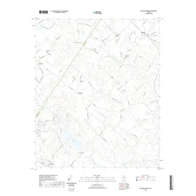 2020 Rutledge North2020 Print · USGSMorgan County's rural northern landscape is shown here in the contemporary era, centered on the community of Fairplay. Researchers can trace local lineage through sites like Studdard Cemetery, Ebenezer Church, and the waters of Lake Rutledge.
Showing maps 1-25 of 31
Top cities near Rutledge
- Athens historical maps
- Covington historical maps
- Monroe historical maps
- Social Circle historical maps
- Madison historical maps
- Watkinsville historical maps
See more
Frequently asked questions
- What are the different types of historical maps available for Rutledge?
- What is the oldest map of Rutledge?
- Where can I purchase historical maps of Rutledge for my home or office?
- Where can I download high-res historical maps of Rutledge?
- Are there historical topographic maps available for Rutledge?
- Is there historical aerial imagery available for Rutledge?
- Where are historical maps of Rutledge sourced from?