2020s Maps of Rabun County, Georgia
Explore 30 historic maps of Rabun County from the 2020s. These maps offer a rare glimpse into what life looked like during the 2020s — showing old roads, neighborhoods, homes, and landmarks that have changed or disappeared over time.
Whether you're researching your family's past, planning a metal detecting trip, or studying how Rabun County's landscape evolved across the 2020s, these high-resolution maps are a powerful tool for exploring the history of this region.
- Focus on a specific era: All maps on this page are from the 2020s, giving you a focused view of this time period.
- See what’s changed: Compare century-old streets, trails, and buildings to today's modern landscape using overlays and satellite layers.
- Research with precision: Use these maps for genealogy, historical research, land use analysis, or educational projects.
- View, download, or print: Maps are fully viewable online in high resolution, and can be downloaded or printed for your own records.
Start exploring Rabun County's history through authentic maps from the 2020s. This is your window into the past.
Rabun County, GA maps
(30)- 2020 Map of Whetstone, 2020 Print
 2020 Whetstone2020 Print · USGSCovers Rabun County, including Mountain Rest, Whetstone, and other nearby areas
 - 2020 Map of Tamassee, 2020 Print
 2020 Tamassee2020 Print · USGSCovers Rabun County, including Cheohee, Tamassee, and other nearby areas
 - 2020 Map of Macedonia, 2020 Print
 2020 Macedonia2020 Print · USGSCovers Rabun County, including Hiawassee, Beech Cove Vista, and other nearby areas
 - 2020 Map of Tallulah Falls, 2020 Print
 2020 Tallulah Falls2020 Print · USGSCovers Rabun County, including Hollywood, Tallulah Falls, and other nearby areas
 - 2020 Map of Dillard, 2020 Print
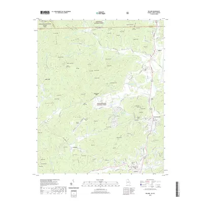 2020 Dillard2020 Print · USGSCovers Rabun County, including Clayton, Mountain City, and other nearby areas
 - 2020 Map of Rabun Bald, 2020 Print
 2020 Rabun Bald2020 Print · USGSCovers Rabun County, including Mountain City, Dillard, and other nearby areas
 - 2020 Map of Tray Mountain, 2020 Print
 2020 Tray Mountain2020 Print · USGSCovers Rabun County, including Mountain Scene, Habersham County, and other nearby areas
 - 2020 Map of Lake Burton, 2020 Print
 2020 Lake Burton2020 Print · USGSCovers Rabun County, including Wikle Store, Habersham County, and other nearby areas
 - 2020 Map of Hightower Bald, 2020 Print
 2020 Hightower Bald2020 Print · USGSCovers Rabun County, including Tate City, Blalock, and other nearby areas
 - 2020 Map of Tugaloo Lake, 2020 Print
 2020 Tugaloo Lake2020 Print · USGSCovers Rabun County, including Toccoa, Tallulah Falls, and other nearby areas
 - 2020 Map of Clarkesville NE, 2020 Print
 2020 Clarkesville NE2020 Print · USGSCovers Rabun County, including Clarkesville, College Park, and other nearby areas
 - 2020 Map of Tiger, 2020 Print
 2020 Tiger2020 Print · USGSCovers Rabun County, including Clayton, Tiger, and other nearby areas
 - 2020 Map of Rainy Mountain, 2020 Print
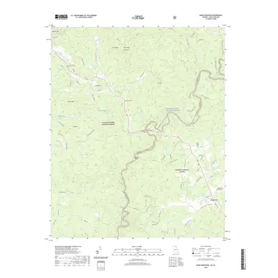 2020 Rainy Mountain2020 Print · USGSCovers Rabun County, including Long Creek, Oconee County, and other nearby areas
 - 2020 Map of Satolah, 2020 Print
 2020 Satolah2020 Print · USGSCovers Rabun County, including Pine Mountain, Three Forks, and other nearby areas
 - 2022 Map of Highlands, 2022 Print
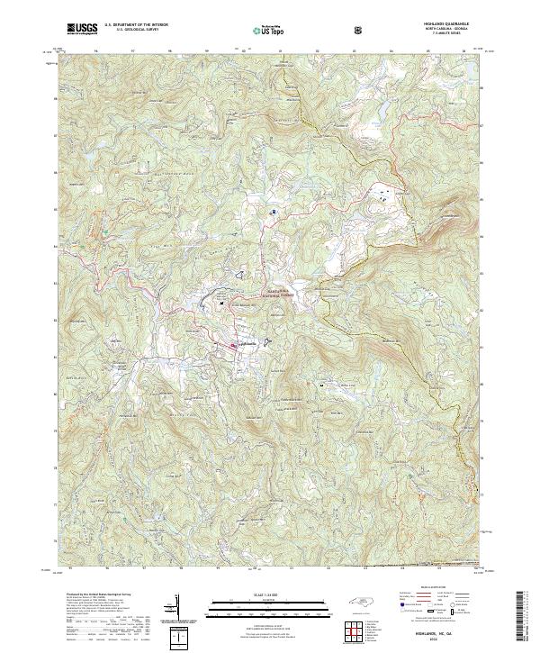 2022 Highlands2022 Print · USGSHighlands sits atop the crest of the Blue Ridge in the early 2020s, where the eastern continental divide meets the Georgia border. Trace local lineages at the Highlands Memorial Park Cem and explore the rugged landscape around Whiteside Mtn and Bridal Veil Falls.
 - 2022 Map of Cashiers, 2022 Print
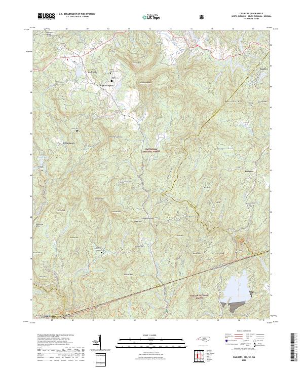 2022 Cashiers2022 Print · USGSHigh-altitude settlements in the Blue Ridge Mountains are documented here in the early twenty-first century. Genealogists and local historians can locate Upper Zachary Cem, Heady Mtn Church, and the tri-state boundary at Ellicott Rock.
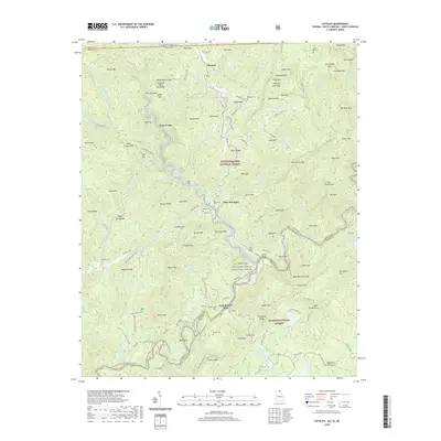
 - 2024 Map of Rainy Mountain, 2024 Print
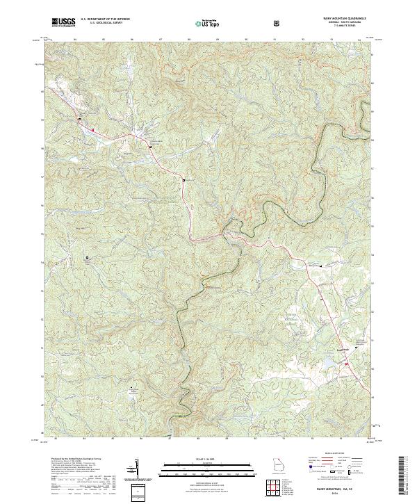 2024 Rainy Mountain2024 Print · USGSThe Georgia and South Carolina borderlands come alive on the banks of the Chattooga River in the modern era. Genealogists and hikers can trace old family burial sites like Godfrey Cem or follow the historic Bartram Trl past the waters of Woodall Shoals.
 - 2024 Map of Tray Mountain, 2024 Print
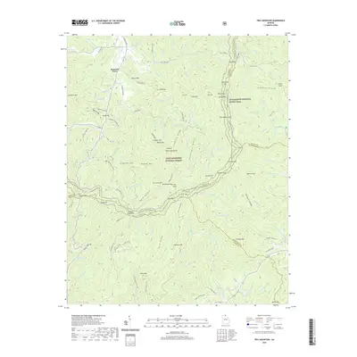
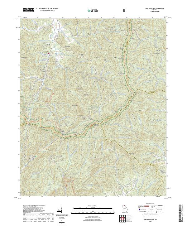 2024 Tray Mountain2024 Print · USGSThe Blue Ridge high country is captured here in the 2020s, showing the intersection of four Georgia counties and major wilderness areas. Trace the Appalachian National Scenic Trail past Anna Ruby Falls and the high settlement at Mountain Scene.
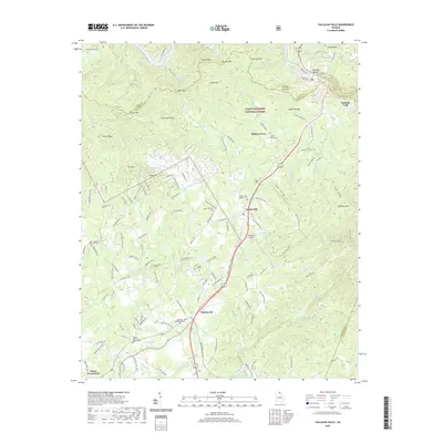
 - 2024 Map of Tiger, 2024 Print
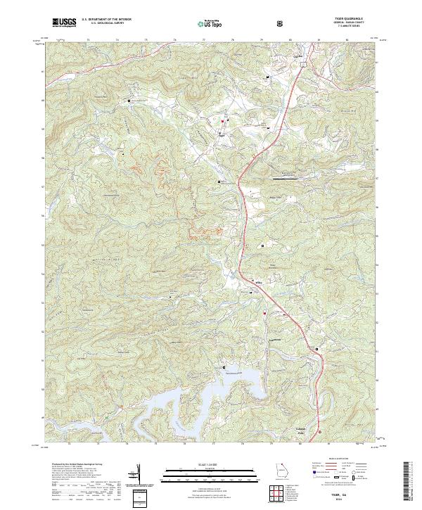 2024 Tiger2024 Print · USGSNortheast Georgia's high country is captured here in recent years, showing the communities of Tiger and Wiley along the historic 441 corridor. Researchers can locate family landmarks like Crukleton Cem and Bethel Baptist Church among the peaks of the Chattahoochee National Forest.
 - 2024 Map of Lake Burton, 2024 Print
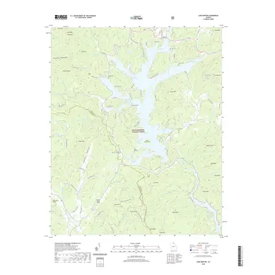
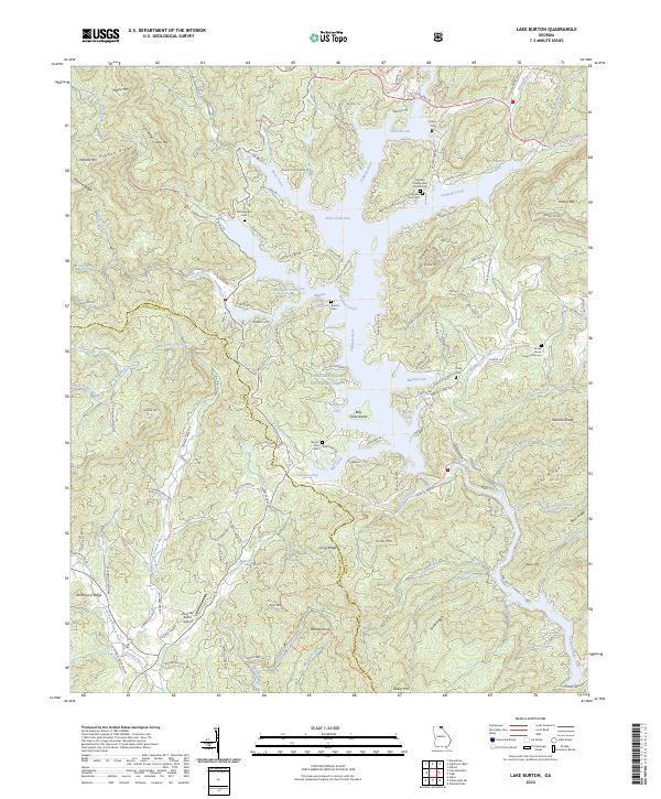 2024 Lake Burton2024 Print · USGSThe Georgia mountains and the intricate shoreline of Lake Burton are shown here as they appear in the twenty-first century. Researchers can trace family history at the Timpson Cove Cem, Mount Zion Cem, and the remote Rocky Grove Community Cem.
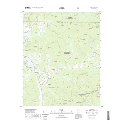
 - 2024 Map of Tallulah Falls, 2024 Print
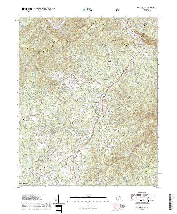 2024 Tallulah Falls2024 Print · USGSThe hills of Habersham County are captured here in the 2020s, showing the enduring mountain communities and sacred sites of the northeast Georgia highlands. Researchers can trace family history at Tallulah Falls Cem or locate the quiet hamlet of Shirley Grove and the Rockin R Airport.
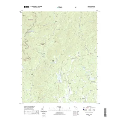
 - 2024 Map of Tamassee, 2024 Print
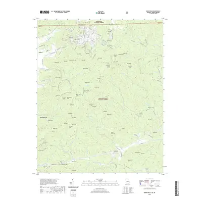
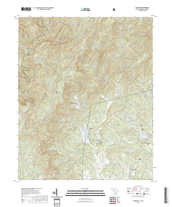 2024 Tamassee2024 Print · USGSThe mountain settlements of Oconee County are captured here in the contemporary era, showing the enduring geography of the Blue Ridge. Researchers can find numerous family burial grounds and landmarks like Cheohee Baptist Church Graveyard, Green Cem, and Moody Cove.
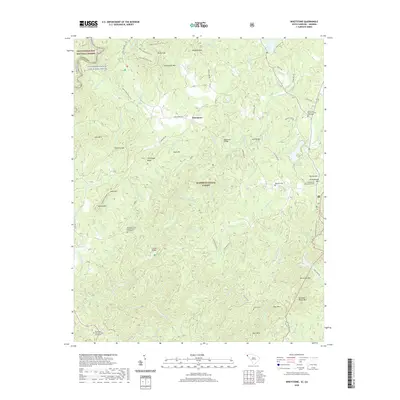
 - 2024 Map of Whetstone, 2024 Print
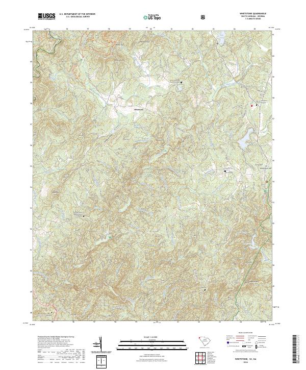 2024 Whetstone2024 Print · USGSNorthwestern Oconee County is mapped here in the modern era, showing the intersection of heavy forest and mountain church communities. Genealogists can locate several family-significant sites like the Brasstown Baptist Church Graveyard and Belmont Cem tucked among the slopes of Chattooga Ridge.
 - 2024 Map of Hightower Bald, 2024 Print
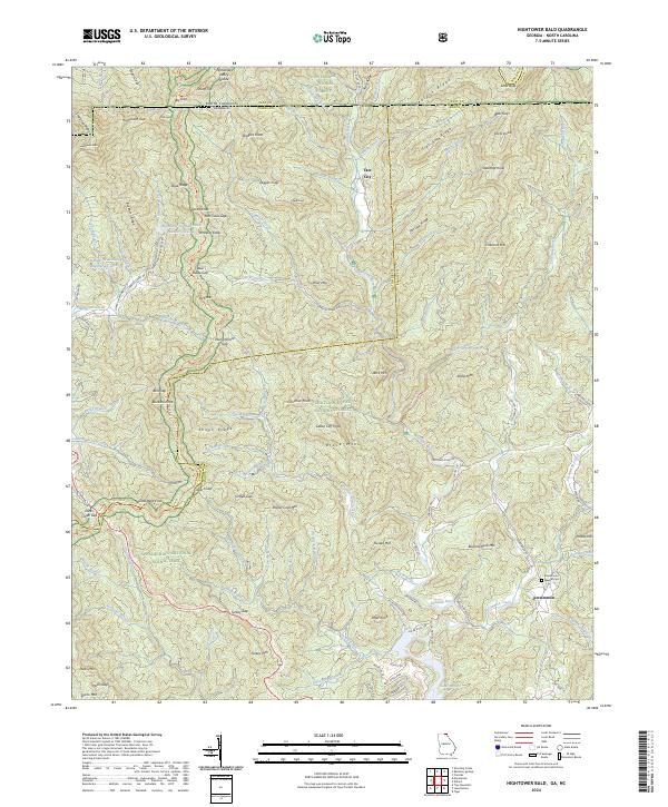 2024 Hightower Bald2024 Print · USGSThe Georgia and North Carolina borderlands come alive in this survey of the high ridge country. Researchers can trace family roots at Persimmon Baptist Cem or follow the historic path of the Appalachian National Scenic Trail through Bly Gap.
 - 2024 Map of Tugaloo Lake, 2024 Print
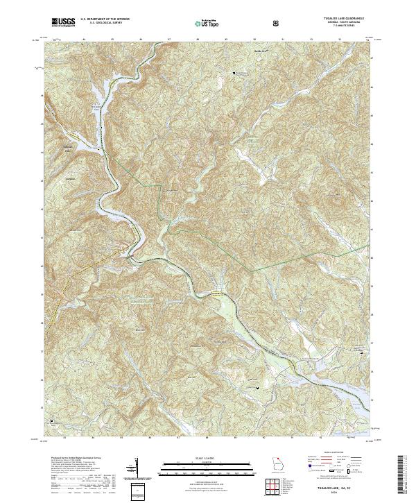 2024 Tugaloo Lake2024 Print · USGSThe Georgia and South Carolina borderlands appear in high detail at the confluence of the Tallulah River and Tugaloo River. Researchers can trace local lineage at Damascus Baptist Church Graveyard or find the river crossing at McCracken Ford.
Showing maps 1-25 of 30
Top cities of Rabun County
- Clayton historical maps
- Mountain City historical maps
- Tiger historical maps
- Dillard historical maps
- Sky Valley historical maps
Frequently asked questions
- What are the different types of historical maps available for Rabun County?
- What is the oldest map of Rabun County?
- Where can I purchase historical maps of Rabun County for my home or office?
- Where can I download high-res historical maps of Rabun County?
- Are there historical topographic maps available for Rabun County?
- Is there historical aerial imagery available for Rabun County?
- Where are historical maps of Rabun County sourced from?