2020s Maps of Seminole County, Georgia
Explore 22 historic maps of Seminole County from the 2020s. These maps offer a rare glimpse into what life looked like during the 2020s — showing old roads, neighborhoods, homes, and landmarks that have changed or disappeared over time.
Whether you're researching your family's past, planning a metal detecting trip, or studying how Seminole County's landscape evolved across the 2020s, these high-resolution maps are a powerful tool for exploring the history of this region.
- Focus on a specific era: All maps on this page are from the 2020s, giving you a focused view of this time period.
- See what’s changed: Compare century-old streets, trails, and buildings to today's modern landscape using overlays and satellite layers.
- Research with precision: Use these maps for genealogy, historical research, land use analysis, or educational projects.
- View, download, or print: Maps are fully viewable online in high resolution, and can be downloaded or printed for your own records.
Start exploring Seminole County's history through authentic maps from the 2020s. This is your window into the past.
Seminole County, GA maps
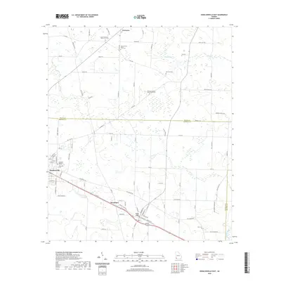
(22)- 2020 Map of Desser, 2020 Print
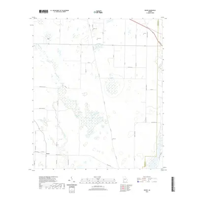 2020 Desser2020 Print · USGSCovers Seminole County, including Brinson, Lela, and other nearby areas
 - 2020 Map of Reynoldsville, 2020 Print
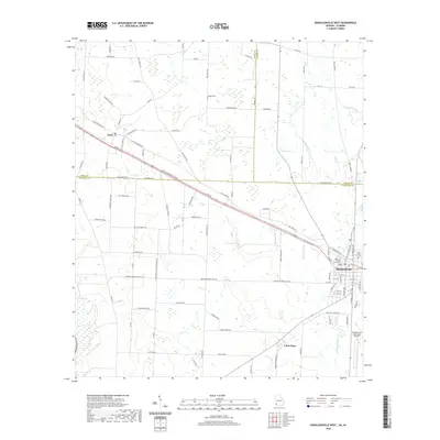
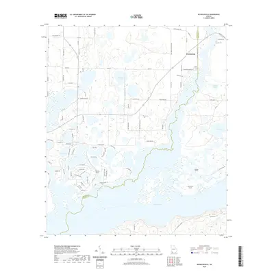 2020 Reynoldsville2020 Print · USGSCovers Seminole County, including Reynoldsville, Decatur County, and other nearby areas
 - 2020 Map of Fairchild, 2020 Print
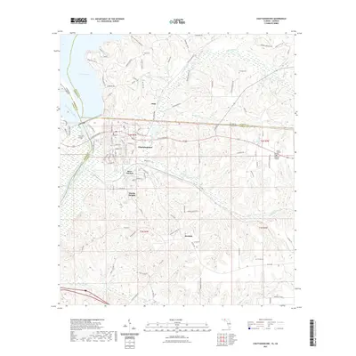
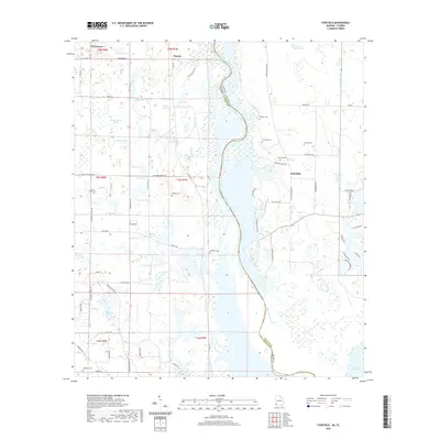 2020 Fairchild2020 Print · USGSCovers Seminole County, including Haynes, Parramore, and other nearby areas
 - 2020 Map of Steam Mill, 2020 Print
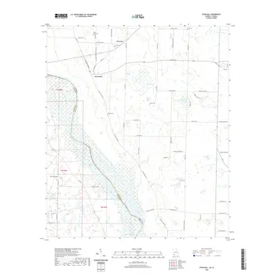 2020 Steam Mill2020 Print · USGSCovers Seminole County, including Green Acres Subdivision, Steam Mill, and other nearby areas
 - 2020 Map of Donalsonville East, 2020 Print
 2020 Donalsonville East2020 Print · USGSCovers Seminole County, including Donalsonville, Iron City, and other nearby areas
 - 2020 Map of Boykin, 2020 Print
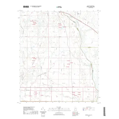
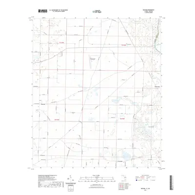
 2020 Boykin2020 Print · USGSCovers Seminole County, including Babcock, Boykin, and other nearby areas
 - 2020 Map of Donalsonville West, 2020 Print
 2020 Donalsonville West2020 Print · USGSCovers Seminole County, including Donalsonville, Jakin, and other nearby areas
 - 2020 Map of Saffold, 2020 Print
 2020 Saffold2020 Print · USGSCovers Seminole County, including Crosby, Saffold, and other nearby areas
 - 2021 Map of Chattahoochee, 2021 Print
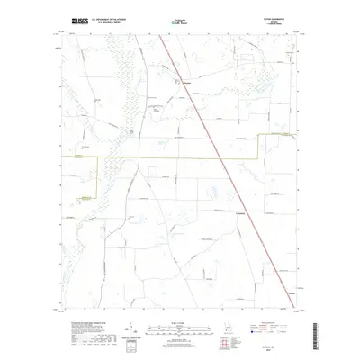
 2021 Chattahoochee2021 Print · USGSCovers Seminole County, including Chattahoochee, Rosedale, and other nearby areas
 - 2021 Map of Sneads, 2021 Print
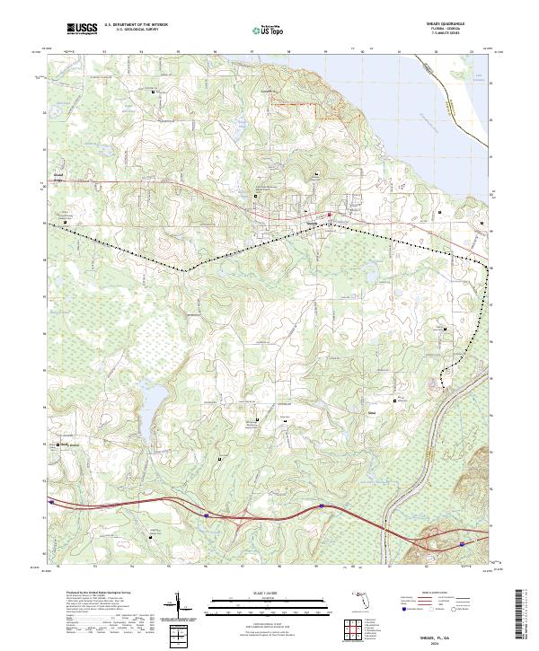
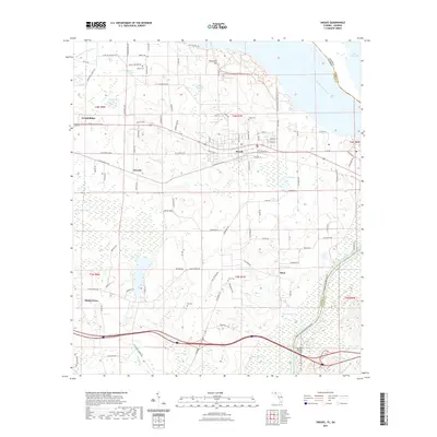 2021 Sneads2021 Print · USGSCovers Seminole County, including Sneads, Grand Ridge, and other nearby areas
 - 2021 Map of Bascom, 2021 Print
 2021 Bascom2021 Print · USGSCovers Seminole County, including Bascom, Hornsville, and other nearby areas
 - 2024 Map of Boykin, 2024 Print
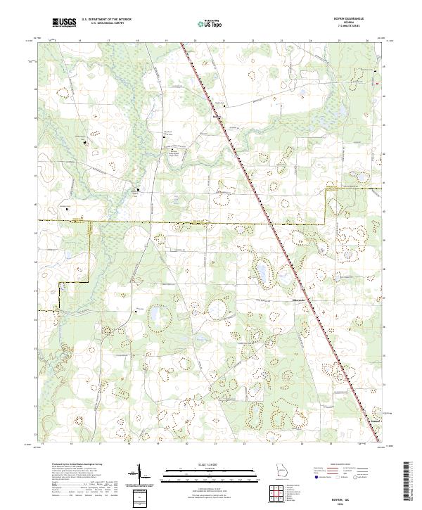 2024 Boykin2024 Print · USGSMiller and Decatur Counties are captured in this recent survey, showcasing the rural heart of southwestern Georgia. Researchers can trace family sites at Boykin, Eldorendo, and Mothers Home Baptist Church Cem, or locate landmarks along Spring Creek.
 - 2024 Map of Donalsonville West, 2024 Print
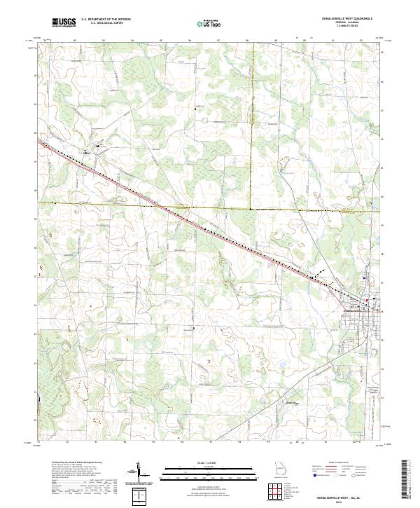 2024 Donalsonville West2024 Print · USGSDonalsonville and Jakin represent the primary centers of commerce and community in Southwest Georgia during the early twenty-first century. Genealogists and researchers can locate family sites at City Cem and Oakview Cem or trace the rural routes leading to Little Hope.
 - 2024 Map of Steam Mill, 2024 Print
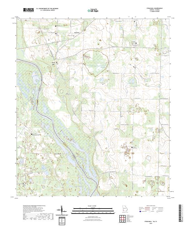 2024 Steam Mill2024 Print · USGSThe Georgia-Florida borderlands near the Chattahoochee River are captured here in the contemporary era, showing a landscape defined by water and woods. Genealogists can trace a remarkable number of family burial sites and country congregations, from Circle Hill Cem to the Macedonia Missionary Baptist Church Cem.
 - 2024 Map of Sneads, 2024 Print
 2024 Sneads2024 Print · USGSThe eastern edge of Jackson County meets the Georgia state line at the wide Chattahoochee River in this modern topographic survey. Genealogists and local historians can locate several family burial sites, including the Angel Rest Family Cem and Childs Memorial Family Gardens Cem, alongside the established communities of Sneads and Grand Ridge.
 - 2024 Map of Fairchild, 2024 Print
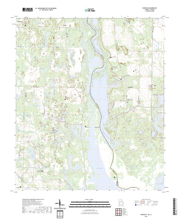 2024 Fairchild2024 Print · USGSThe Chattahoochee River corridor at the Georgia-Florida line comes to life in this survey of the river valley and its wetlands. Genealogists can trace numerous family-named sites, including Fairchild Cem Number 1, Butlers Ferry, and Little Zion Missionary Baptist Church.
 - 2024 Map of Reynoldsville, 2024 Print
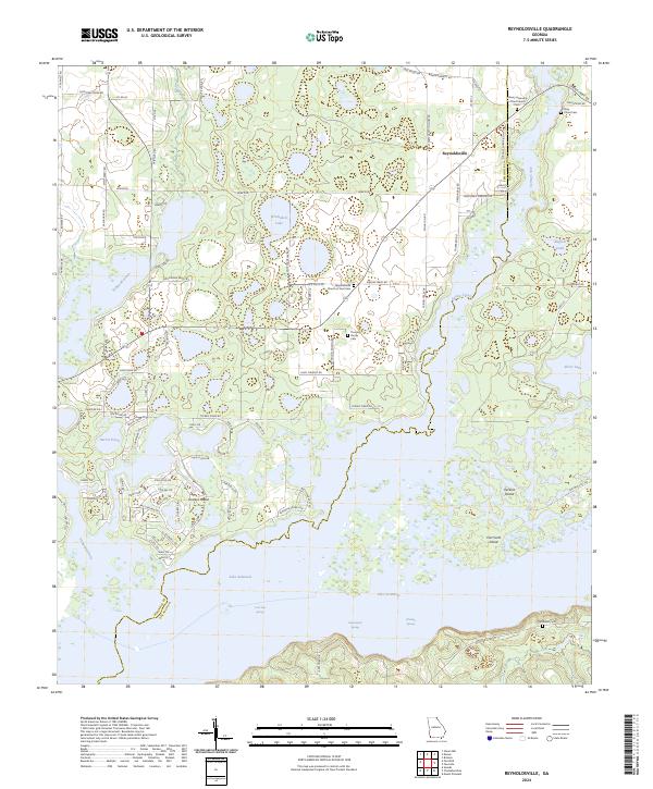 2024 Reynoldsville2024 Print · USGSSeminole County is defined by the massive waters of the reservoir and the rural crossroads of the Georgia panhandle. Trace family heritage and local landmarks at Reynoldsville, the Thursby Family Cem, and Fort Scott Island.
 - 2024 Map of Saffold, 2024 Print
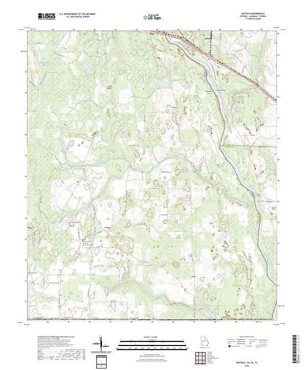 2024 Saffold2024 Print · USGSThe Chattahoochee River valley comes into focus in this recent survey of the Alabama-Georgia-Florida borderlands. Genealogists can locate family landmarks like the Greater Antioch Missionary Baptist Church Cem and the river crossing at Chandlers Ferry.
 - 2024 Map of Desser, 2024 Print
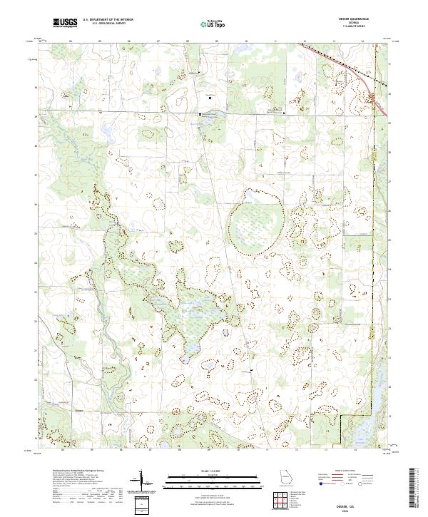 2024 Desser2024 Print · USGSSeminole County's rural landscape is mapped here in the modern era, showing the intricate wetlands surrounding the northern reaches of the Flint River. Genealogists can locate several historic family burial sites, including Chason Cem, Trawick Cem, and Williams Cem.
 - 2024 Map of Donalsonville East, 2024 Print
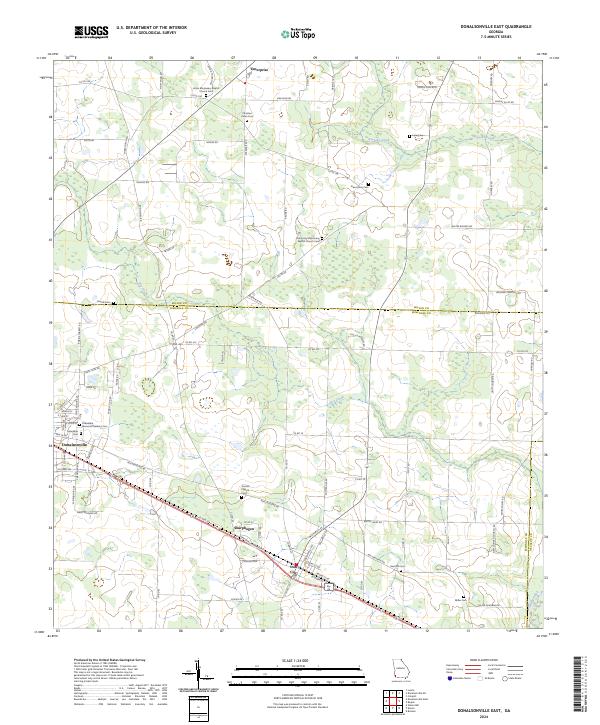 2024 Donalsonville East2024 Print · USGSSouthwest Georgia's rural character is preserved in this contemporary survey of Seminole and Miller counties. Genealogists can trace family landmarks like Friendship Memorial Gardens Cem, New Home Cem, and the quiet settlement of Sharphagen.
 - 2024 Map of Chattahoochee, 2024 Print
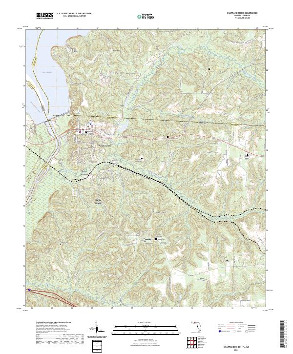 2024 Chattahoochee2024 Print · USGSGadsden County and the Georgia borderland appear here during the modern era, where the Apalachicola River flows from Lake Seminole. Researchers can trace local heritage at the Florida State Hospital Cemetery and explore old communities like River Junction and Rosedale.
 - 2024 Map of Bascom, 2024 Print
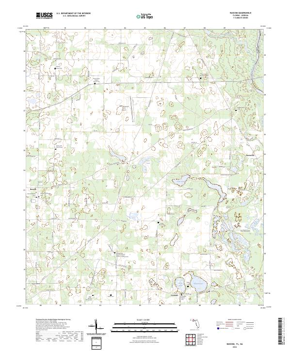 2024 Bascom2024 Print · USGSUpper Jackson County near the Georgia border is shown here as a landscape of agricultural tradition and family heritage. Researchers can trace deep local roots through dozens of sites like the Gethsemane Church Of Christ Written In Heaven Cem, Lovedale Baptist Cem, and Hornsville.
End of results
Showing maps 1-22 of 22
Top cities of Seminole County
Frequently asked questions
- What are the different types of historical maps available for Seminole County?
- What is the oldest map of Seminole County?
- Where can I purchase historical maps of Seminole County for my home or office?
- Where can I download high-res historical maps of Seminole County?
- Are there historical topographic maps available for Seminole County?
- Is there historical aerial imagery available for Seminole County?
- Where are historical maps of Seminole County sourced from?