2010s Maps of Seminole County, Georgia
Explore 36 historic maps of Seminole County from the 2010s. These maps offer a rare glimpse into what life looked like during the 2010s — showing old roads, neighborhoods, homes, and landmarks that have changed or disappeared over time.
Whether you're researching your family's past, planning a metal detecting trip, or studying how Seminole County's landscape evolved across the 2010s, these high-resolution maps are a powerful tool for exploring the history of this region.
- Focus on a specific era: All maps on this page are from the 2010s, giving you a focused view of this time period.
- See what’s changed: Compare century-old streets, trails, and buildings to today's modern landscape using overlays and satellite layers.
- Research with precision: Use these maps for genealogy, historical research, land use analysis, or educational projects.
- View, download, or print: Maps are fully viewable online in high resolution, and can be downloaded or printed for your own records.
Start exploring Seminole County's history through authentic maps from the 2010s. This is your window into the past.
Seminole County, GA maps
(36)- 2011 Map of Chattahoochee, 2011 Print
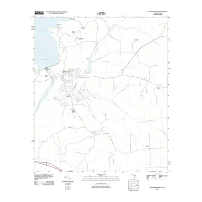 2011 Chattahoochee2011 Print · USGSFlorida's northern river border comes into sharp focus during the 2010s at the meeting of the Flint and Chattahoochee. Historians can trace the development of River Junction and Hardin Heights or locate family burial sites like Mount Pleasant Cemetery and White Cemetery.
 - 2011 Map of Steam Mill, 2011 Print
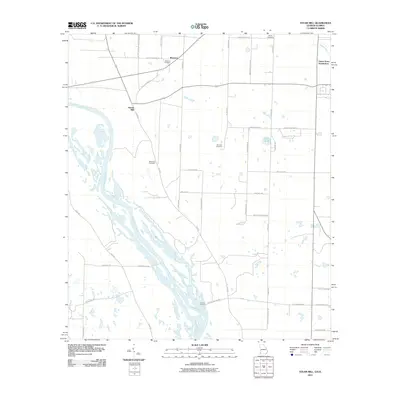 2011 Steam Mill2011 Print · USGSThe braided channels of the Georgia-Florida border come into focus in the early 2010s, showing a river-aligned landscape of rural landings and family-named roads. Genealogists and local researchers can trace historic burial sites like Williams Cemetery and small communities such as Steam Mill or Desser Landing.
 - 2011 Map of Sneads, 2011 Print
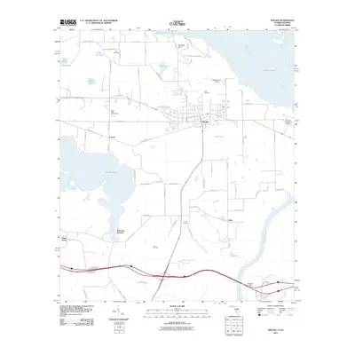 2011 Sneads2011 Print · USGSThe Florida Panhandle near the Georgia line comes into focus in this recent survey of the riverlands. Researchers can locate local burial grounds like Pope Cemetery and trace the paths of Old Spanish Trail and Old US 90 Lane.
 - 2011 Map of Reynoldsville, 2011 Print
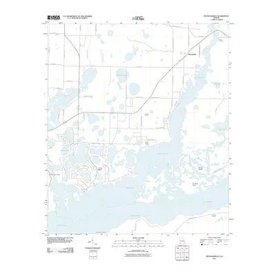 2011 Reynoldsville2011 Print · USGSThe Seminole County lakefront and Flint River confluence are captured here in the early twenty-first century. Researchers can trace family history at Cloud Cemetery or locate old water access points like Spring Creek Landing and Henry Cummings Landing.
 - 2011 Map of Fairchild, 2011 Print
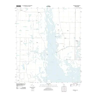 2011 Fairchild2011 Print · USGSThe Florida-Georgia line is defined by the waters of the Chattahoochee and the vast reaches of Lake Seminole in the early twenty-first century. Researchers can trace family history through several rural burial grounds like Wooten Cemetery and Robinson Cemetery or locate historic river access at Butlers Ferry Landing.
 - 2011 Map of Desser, 2011 Print
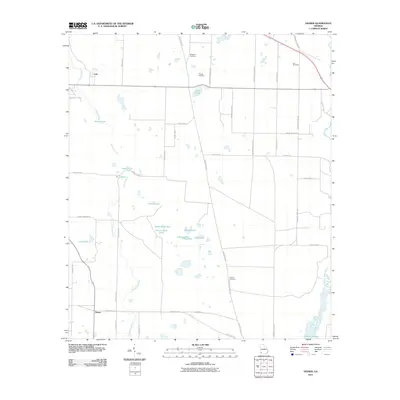 2011 Desser2011 Print · USGSSouthwest Georgia at the start of the 2010s reveals a landscape of complex wetlands and rural homesteads. Genealogists can locate several family burial grounds including Williams and Chason, alongside unique water features like Sykes Water Gap and Buck Hole.
 - 2011 Map of Bascom, 2011 Print
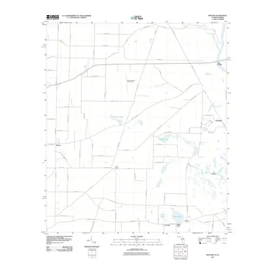 2011 Bascom2011 Print · USGSJackson County agricultural life meets the river lowlands during the early 2000s in this detailed local study. Researchers can trace rural settlement patterns through communities like Bascom and Lovedale or locate family sites near Bazzell Cemetery and Neals Landing.
 - 2011 Map of Saffold, 2011 Print
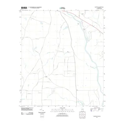 2011 Saffold2011 Print · USGSThe rural borderlands of Alabama and Georgia are captured here just after the first decade of the millennium. Researchers can trace family-named routes and river landmarks like Bryants Landing, the Billy Byrd Dam, and the small settlement at Crosby.
 - 2011 Map of Donalsonville West, 2011 Print
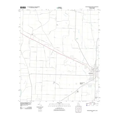 2011 Donalsonville West2011 Print · USGSDonalsonville and the surrounding Seminole County farmland are documented here in the early twenty-first century. Genealogists can trace family-named roads like Reuben Brookins Rd and find local landmarks such as Live Oak Cemetery and Little Hope.
 - 2011 Map of Donalsonville East, 2011 Print
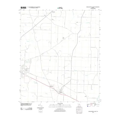 2011 Donalsonville East2011 Print · USGSIron City and the surrounding Seminole County farmland are captured here in the early twenty-first century. Researchers can trace local genealogy through several burial sites like Union Cemetery and Miller Cemetery or locate the small settlements of Enterprise and Sharphagen.
 - 2011 Map of Boykin, 2011 Print
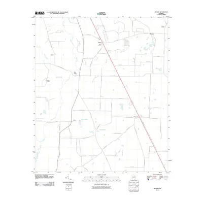 2011 Boykin2011 Print · USGSMiller County at the start of the 2010s reveals a South Georgia landscape of dispersed agricultural settlements and quiet creek beds. Genealogists can trace family connections at Pond Town Cemetery or Lane Cemetery and explore the rural road networks around Boykin and Eldorendo.
 - 2012 Map of Sneads, 2012 Print
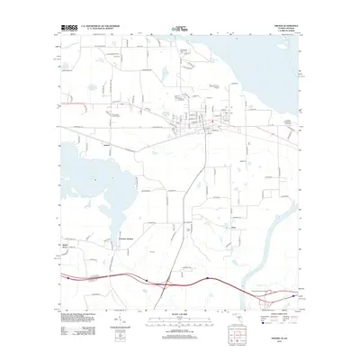 2012 Sneads2012 Print · USGSSneads and the surrounding Florida panhandle landscape appear here in the early twenty-first century, bounded by the Apalachicola River. Researchers can trace local lineage through sites like Yon Cem or locate community hubs such as Inwood and Ocheesee Gardens.
 - 2012 Map of Bascom, 2012 Print
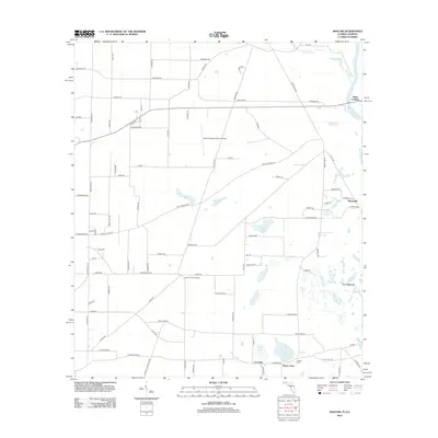 2012 Bascom2012 Print · USGSThe Florida-Georgia borderland along the Chattahoochee River is documented here in the early twenty-first century. Researchers can trace rural heritage through the Bazzell Cem and old riverfront points like Neals Landing and Hornsville.
 - 2012 Map of Chattahoochee, 2012 Print
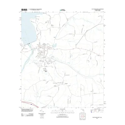 2012 Chattahoochee2012 Print · USGSThe Florida-Georgia state line meets at the waters of the Apalachicola River during the early twenty-first century. Genealogists and local historians can trace family plots at White Cem and Farrell Cem or explore the transit history of River Junction.
 - 2014 Map of Desser, 2014 Print
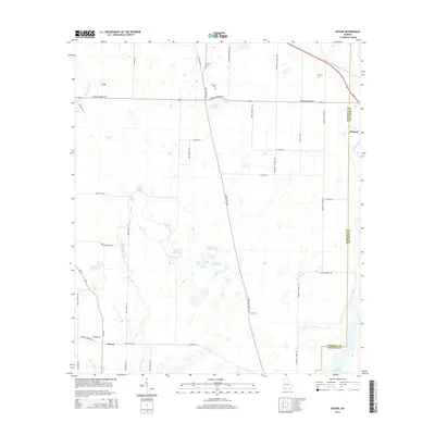 2014 Desser2014 Print · USGSThe borderlands of Decatur and Seminole Counties are mapped here in the early twenty-first century as they interact with the northern waters of Lake Seminole. Genealogists can trace family landmarks like Williams Cem, Chason Cem, and the small settlement of Desser.
 - 2014 Map of Reynoldsville, 2014 Print
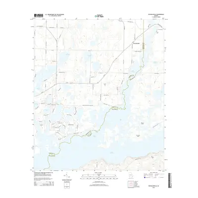 2014 Reynoldsville2014 Print · USGSReynoldsville and the northern reaches of Lake Seminole are captured here just after the turn of the millennium. Researchers can trace family sites like Cloud Cem and Thursby Cem or explore island landmarks like Fort Scott Island.
 - 2014 Map of Fairchild, 2014 Print
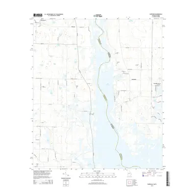 2014 Fairchild2014 Print · USGSThe Florida-Georgia borderlands along the Chattahoochee River are captured here in the early twenty-first century as Lake Seminole fills the river valley. Local historians and genealogists can trace family footprints at Fairchild Cem, Trawick Cem, and Sand Ridge Cem.
 - 2014 Map of Saffold, 2014 Print
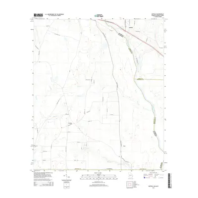 2014 Saffold2014 Print · USGSHouston County, Alabama, and Early County, Georgia, meet along the banks of the river in this recent survey. Local researchers can trace the roads and waterways around Crosby and Lucy or locate the Friendship Cem and Long Pond.
 - 2014 Map of Steam Mill, 2014 Print
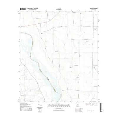 2014 Steam Mill2014 Print · USGSThe Georgia-Florida border along the Chattahoochee River is captured here in the early twenty-first century. Researchers can trace rural lineages through local landmarks like Steam Mill and family burial grounds including Williams Cem and Brunson Cem.
 - 2014 Map of Donalsonville West, 2014 Print
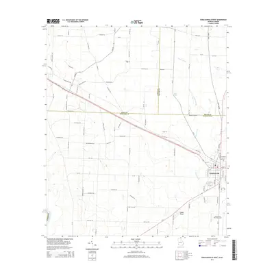 2014 Donalsonville West2014 Print · USGSDonalsonville and the banks of the Chattahoochee River are shown here in the mid-2010s, capturing the rural character of the Georgia-Alabama border. Researchers can find family-named landmarks like Pot LIKKER Ln and Hodges Cem alongside the settlement at Little Hope.
 - 2014 Map of Boykin, 2014 Print
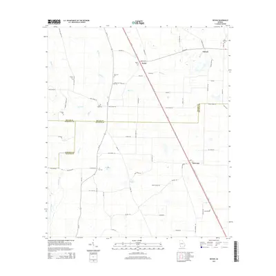 2014 Boykin2014 Print · USGSThe rural landscapes of Miller, Seminole, and Decatur counties come into focus during the early twenty-first century. Genealogists can trace family legacies through numerous landmarks like Pond Town Cem, Eldorendo Church, and the settlement at Boykin.
 - 2014 Map of Donalsonville East, 2014 Print
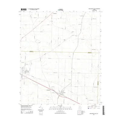 2014 Donalsonville East2014 Print · USGSDonalsonville and the surrounding Seminole County farm country are shown in detail as they appeared in the early 21st century. Genealogists can trace family burial sites at Friendship Cem, Union Cem, and Miller Cem among the drainages of Dry Cr.
 - 2015 Map of Bascom, 2015 Print
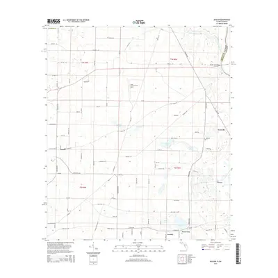 2015 Bascom2015 Print · USGSNortheast Jackson County comes into focus in this modern era, showing the quiet agricultural corridor where Florida meets Georgia. Genealogists and local historians can trace the roads connecting Bascom, Neals Landing, and Hornsville, or locate the Bazzell Cem near Lovedale.
 - 2015 Map of Chattahoochee, 2015 Print
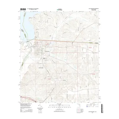 2015 Chattahoochee2015 Print · USGSFlorida's northern border at the Apalachicola River comes into focus in this recent study of Gadsden County. Local historians can trace family roots at White Cem and Mount Pleasant Cem or explore the neighborhoods of Chattahoochee and River Junction.
 - 2015 Map of Sneads, 2015 Print
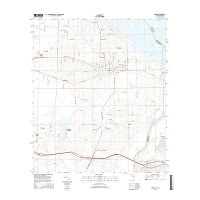 2015 Sneads2015 Print · USGSJackson County during the mid-2010s shows a landscape defined by the Apalachicola River and the rural communities of the Florida panhandle. Genealogists and local historians can locate Dykes Cem and Pope Cem or trace the early foundations of Ocheesee Gardens and Sneads.
Showing maps 1-25 of 36
Top cities of Seminole County
Frequently asked questions
- What are the different types of historical maps available for Seminole County?
- What is the oldest map of Seminole County?
- Where can I purchase historical maps of Seminole County for my home or office?
- Where can I download high-res historical maps of Seminole County?
- Are there historical topographic maps available for Seminole County?
- Is there historical aerial imagery available for Seminole County?
- Where are historical maps of Seminole County sourced from?