Old Maps of Poplar Crossroads, Georgia for Metal Detecting
Plan your next treasure hunt with 10 historic maps of Poplar Crossroads. Find old homesites, ghost towns, trails, and gathering spots that may be lost to time — perfect for identifying promising metal detecting locations.
- Locate forgotten sites: Uncover places like long-lost settlements, abandoned rail lines, or gathering spots.
- Plan better hunts: Use map overlays combined with LiDAR or satellite views to narrow in on historically rich areas.
- Made for detectorists: Thousands of hobbyists use these maps to discover relics, coins, and hidden history.
Use these historic maps to boost your research and find new opportunities beneath the surface of Poplar Crossroads.
Poplar Crossroads, GA maps
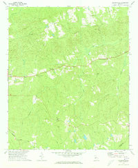
(10)- 1955 Map of Phenix City, 1964 Print
 1955 Phenix City1964 Print · USGSPost-war Alabama and Georgia meet along the Chattahoochee River as industry and military installations expand. Trace the rail lines of the Central of Georgia through towns like Opelika, Tuskegee, and Alexander City.3 unique versions available
 - 1957 Map of Phenix City
 1957 Phenix City1957 Print · USGSThe Alabama-Georgia borderlands are captured here in the mid-fifties, centered on the bustling river crossing at Phenix City and Columbus. Researchers can trace the mid-century footprint of the Fort Benning Military Reservation or locate smaller textile and railroad towns like Langdale and Camp Hill.
 - 1958 Map of Phenix City
 1958 Phenix City1958 Print · USGSThe Alabama-Georgia borderlands thrive during the late fifties, anchored by the river-driven industry of Columbus and Phenix City. Researchers can trace the mid-century footprints of Fort Benning, Auburn, and the textile towns of Fairfax and Lanett.
 - 1971 Map of Baldwinville, 1973 Print
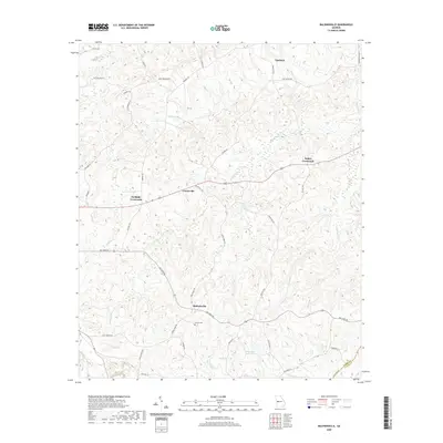
 1971 Baldwinville1973 Print · USGSTalbot County in the early seventies remained a landscape of quiet crossroads and rural parishes. Researchers can trace family sites near Po Biddy Crossroads, locate the Jumpin Airfield, or find records of congregations at Philadelphia Ch and New Salem Ch.2 unique versions available
 - 1981 Map of Thomaston, 1982 Print
 1981 Thomaston1982 Print · USGSCentral Georgia’s ridgeline and river country comes into focus in this early 1980s survey of the Pine Mountain corridor. Researchers can trace historic church sites like Oak Grove Ch, the rail junctions at Manchester, and the expansive Franklin D Roosevelt State Park.
 - 2011 Map of Baldwinville, 2011 Print
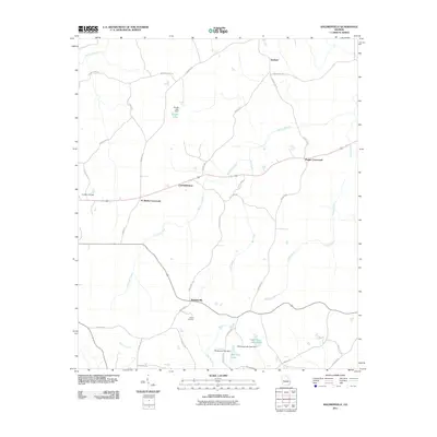 2011 Baldwinville2011 Print · USGSCovers Poplar Crossroads, including Ypsilanti, Centerville, and other nearby areas
 - 2014 Map of Baldwinville, 2014 Print
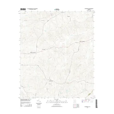 2014 Baldwinville2014 Print · USGSCovers Poplar Crossroads, including Ypsilanti, Centerville, and other nearby areas
 - 2017 Map of Baldwinville, 2017 Print
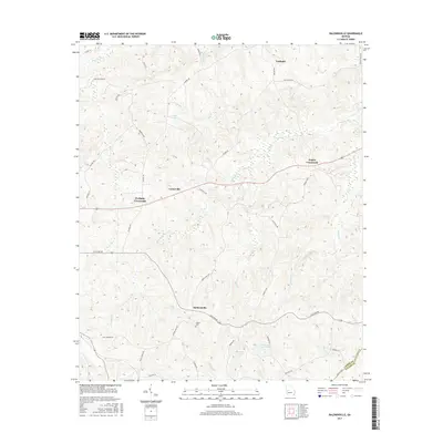 2017 Baldwinville2017 Print · USGSCovers Poplar Crossroads, including Ypsilanti, Centerville, and other nearby areas
 - 2020 Map of Baldwinville, 2020 Print
 2020 Baldwinville2020 Print · USGSCovers Poplar Crossroads, including Ypsilanti, Centerville, and other nearby areas
 - 2024 Map of Baldwinville, 2024 Print
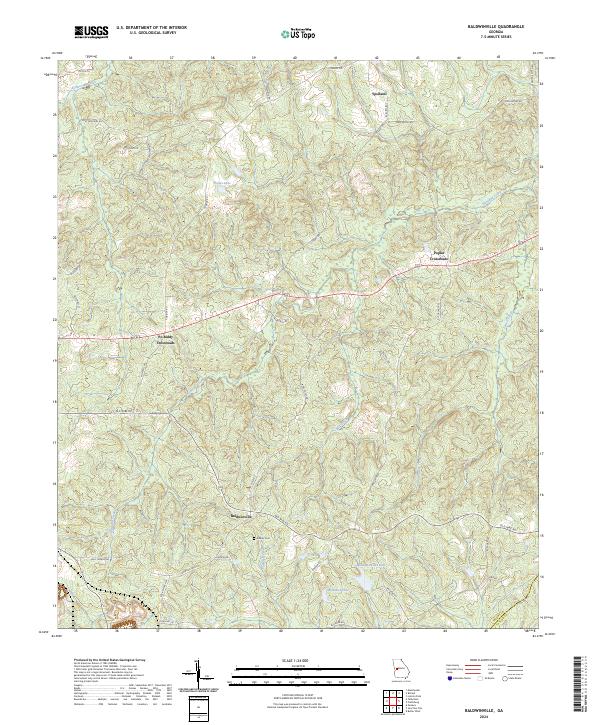 2024 Baldwinville2024 Print · USGSTalbot County's rural character is on full display in this recent look at the communities and creeks near the Taylor County line. Genealogists can locate Adams Cem and trace the historic route of Old Wire Rd past Baldwinville.
End of results
Showing maps 1-10 of 10
Top cities near Poplar Crossroads
- Thomaston historical maps
- Manchester historical maps
- Butler historical maps
- Sunset Village historical maps
- Talbotton historical maps
- Lincoln Park historical maps
See more
Frequently asked questions
- What are the different types of historical maps available for Poplar Crossroads?
- What is the oldest map of Poplar Crossroads?
- Where can I purchase historical maps of Poplar Crossroads for my home or office?
- Where can I download high-res historical maps of Poplar Crossroads?
- Are there historical topographic maps available for Poplar Crossroads?
- Is there historical aerial imagery available for Poplar Crossroads?
- Where are historical maps of Poplar Crossroads sourced from?