Old Maps of Chickasawhatchee, Georgia for Academic Research
Study the evolution of Chickasawhatchee with 17 high-resolution historic maps. Whether you're teaching, researching, or modeling changes in land use, these maps provide essential visual documentation of urban, environmental, and geographic change.
- Analyze long-term change: Track patterns in development, transportation, and natural features.
- Ideal for environmental or urban studies: Support academic projects with primary historical map data.
- Use in the classroom or lab: Educators and researchers rely on these maps to bring historical context to life.
These maps are a powerful tool for teaching, research, and visualizing how Chickasawhatchee has changed over the decades.
Chickasawhatchee, GA maps
(17)- 1953 Map of Dothan, 1966 Print
 1953 Dothan1966 Print · USGSSoutheast Alabama and Southwest Georgia are captured during a period of massive hydraulic and military expansion in the mid-fifties. Genealogists and historians can trace rural landmarks like Antioch Church and School, the Andrew Jackson Monument, and the early footprint of Fort Rucker Military Reservation.3 unique versions available
 - 1954 Map of Dothan
 1954 Dothan1954 Print · USGSSoutheast Alabama and Southwest Georgia are seen here in the mid-fifties, during a decade of military expansion and rural transition. Genealogists can trace the location of country schools like Little Zion School or the grounds of Kolomoki Mounds State Park.
 - 1955 Map of Dothan
 1955 Dothan1955 Print · USGSSoutheast Alabama and Southwest Georgia are captured here in the mid-fifties, showing a landscape of river-port history and growing military bases. Researchers can trace rural life via the Andrew Jackson Monument, Bauxite mines, and the Central of Georgia RR.
 - 1956 Map of Sasser, 1958 Print
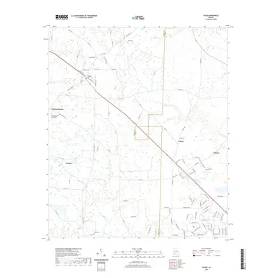
 1956 Sasser1958 Print · USGSTerrell and Dougherty counties are mapped here during the mid-fifties, revealing a rural Georgia landscape of swampy creeks and rail-side hamlets. Researchers can locate specific family landmarks like Clarks Mill, the Andrew Jackson Historical Monument, and Mt Mary Cem & Ch.2 unique versions available
 - 1973 Map of Chickasawhatchee, 1974 Print
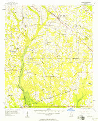
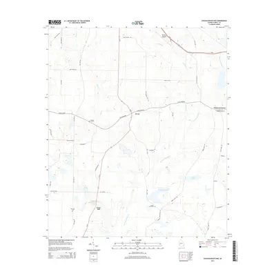
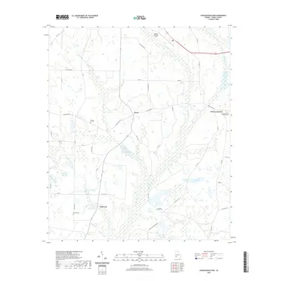
 1973 Chickasawhatchee1974 Print · USGSTerrell County's agricultural heartland is documented here in the early seventies, centered on rural communities and the headwaters of the Chickasawhatchee. Genealogists can trace family roots through numerous local landmarks like Clarks Mill, the Andrew Jackson Monument, and New Hope Cem.
 - 1973 Map of Sasser, 1974 Print
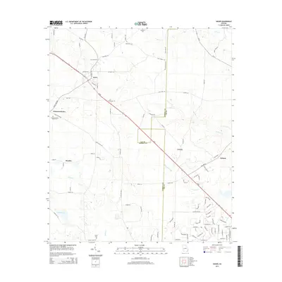
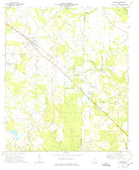 1973 Sasser1974 Print · USGSTerrell and Lee Counties appear in the early 1970s as a landscape of rural settlements and rail-line hubs. Genealogists and historians can trace family roots through sites like Macedonia Ch, Huckby Cem, and the old rail stop at Sasser.2 unique versions available
 - 1981 Map of Albany, 1982 Print
 1981 Albany1982 Print · USGSSouthwest Georgia in the early eighties was a region defined by its rail hubs and winding river systems. Here you can trace the agricultural landscape from Albany to Dawson, locating sites like Radium Springs, the U S Naval Reservation, and the historic junction at Shellman.
 - 2011 Map of Sasser, 2011 Print
 2011 Sasser2011 Print · USGSCovers Chickasawhatchee, including Sasser, Oakland, and other nearby areas
 - 2011 Map of Chickasawhatchee, 2011 Print
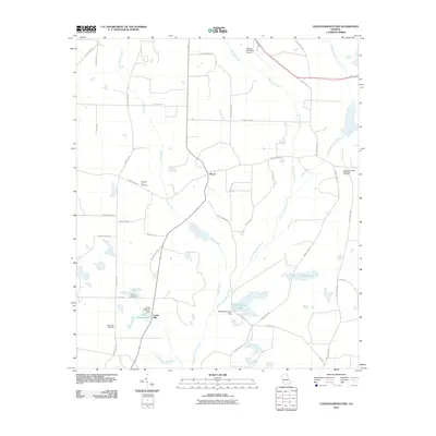 2011 Chickasawhatchee2011 Print · USGSCovers Chickasawhatchee, including Clarks Mill, Herod, and other nearby areas
 - 2014 Map of Chickasawhatchee, 2014 Print
 2014 Chickasawhatchee2014 Print · USGSCovers Chickasawhatchee, including Clarks Mill, Herod, and other nearby areas
 - 2014 Map of Sasser, 2014 Print
 2014 Sasser2014 Print · USGSCovers Chickasawhatchee, including Sasser, Oakland, and other nearby areas
 - 2017 Map of Chickasawhatchee, 2017 Print
 2017 Chickasawhatchee2017 Print · USGSCovers Chickasawhatchee, including Clarks Mill, Herod, and other nearby areas
 - 2017 Map of Sasser, 2017 Print
 2017 Sasser2017 Print · USGSCovers Chickasawhatchee, including Sasser, Oakland, and other nearby areas
 - 2020 Map of Sasser, 2020 Print
 2020 Sasser2020 Print · USGSCovers Chickasawhatchee, including Sasser, Oakland, and other nearby areas
 - 2020 Map of Chickasawhatchee, 2020 Print
 2020 Chickasawhatchee2020 Print · USGSCovers Chickasawhatchee, including Clarks Mill, Herod, and other nearby areas
 - 2024 Map of Chickasawhatchee, 2024 Print
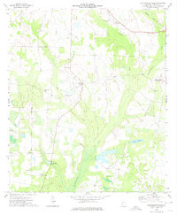
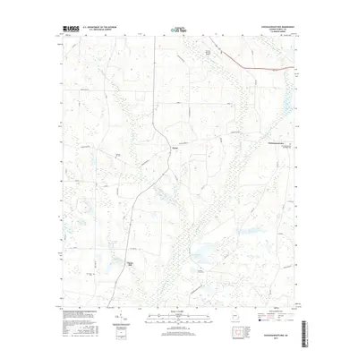
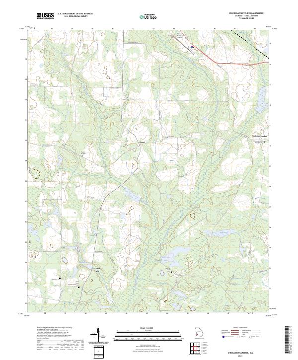 2024 Chickasawhatchee2024 Print · USGSTerrell County maintains its rural character in this modern Georgia survey, showcasing a landscape shaped by creek systems and family-named roads. Genealogists and historians can trace the locations of several burial grounds, including New Hope Cem, Houston Grove Cem, and the old settlement of Herod.
 - 2024 Map of Sasser, 2024 Print
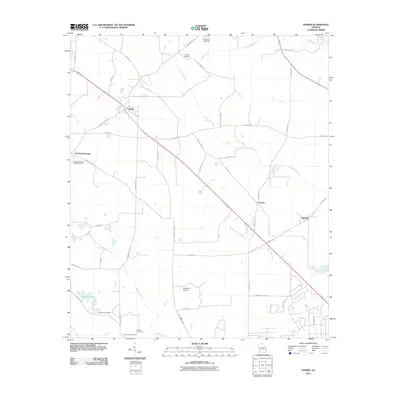
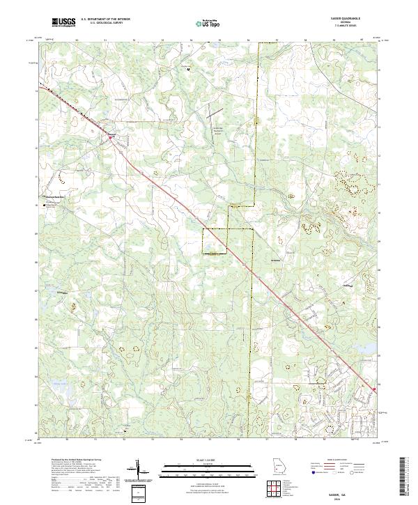 2024 Sasser2024 Print · USGSSouthwest Georgia's agricultural landscape is documented here in the 2020s, showing the enduring rural character of Terrell and Lee Counties. Genealogists can locate several family and community landmarks, including Chickasawhatchee Cem, the Village Baptist Church, and the settlement of Armena.
End of results
Showing maps 1-17 of 17
Top cities near Chickasawhatchee
- Albany historical maps
- Dawson historical maps
- Putney historical maps
- Leesburg historical maps
- Morgan historical maps
- Shellman historical maps
See more
Frequently asked questions
- What are the different types of historical maps available for Chickasawhatchee?
- What is the oldest map of Chickasawhatchee?
- Where can I purchase historical maps of Chickasawhatchee for my home or office?
- Where can I download high-res historical maps of Chickasawhatchee?
- Are there historical topographic maps available for Chickasawhatchee?
- Is there historical aerial imagery available for Chickasawhatchee?
- Where are historical maps of Chickasawhatchee sourced from?