Old Maps of Normantown, Georgia for Academic Research
Study the evolution of Normantown with 17 high-resolution historic maps. Whether you're teaching, researching, or modeling changes in land use, these maps provide essential visual documentation of urban, environmental, and geographic change.
- Analyze long-term change: Track patterns in development, transportation, and natural features.
- Ideal for environmental or urban studies: Support academic projects with primary historical map data.
- Use in the classroom or lab: Educators and researchers rely on these maps to bring historical context to life.
These maps are a powerful tool for teaching, research, and visualizing how Normantown has changed over the decades.
Normantown, GA maps
(17)- 1957 Map of Macon
 1957 Macon1957 Print · USGSMid-century Georgia comes into focus as the river-and-rail economy shifts toward a new era of aviation and highway travel. Trace family roots and vanished landmarks across the Ocmulgee River valley from Macon to the onion fields of Vidalia.
 - 1958 Map of Macon
 1958 Macon1958 Print · USGSMiddle Georgia during the late fifties shows the post-war expansion of Warner Robins alongside the deep-rooted rail hubs of the Central of Georgia line. Researchers can trace the river-bound boundaries of numerous counties and find local landmarks like Veterans Memorial Hospital and Robins AFB.
 - 1964 Map of Macon
 1964 Macon1964 Print · USGSCentral Georgia in the mid-sixties is defined by its major river valleys and a booming military presence. Genealogists and historians can trace the growth of Warner Robins near Robins AFB or locate smaller rural junctions like Allentown and Jeffersonville along the historic Southern railroad lines.2 unique versions available
 - 1970 Map of Oak Park SW, 1973 Print
 1970 Oak Park SW1973 Print · USGSSoutheast Georgia in the early 1970s reveals a patchwork of rural cemeteries and cross-county rail lines at the intersection of Montgomery and Toombs counties. Researchers can trace family history through sites like Mosleytown, Mc Leod Grave, and Blockers Chapel.
 - 1970 Map of Oak Park, 1973 Print
 1970 Oak Park1973 Print · USGSEmanuel County at the start of the 1970s reveals a landscape of tight-knit rural communities and pine-lined wetlands. Genealogists and local historians can trace family roots through a high density of sites like Morris Cem, White Chapel, and the settlement at Normantown.2 unique versions available
 - 1979 Map of Vidalia, 1980 Print
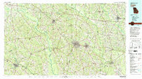 1979 Vidalia1980 Print · USGSSoutheast Georgia in the late 1970s is a landscape of river-bend settlements and crossing rail lines. Researchers can trace family roots and land patterns through several towns like Vidalia, Soperton, and Mount Vernon, or locate regional landmarks like the State Prison.2 unique versions available
 - 1988 Map of Macon, 1989 Print
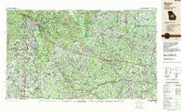 1988 Macon1989 Print · USGSCentral Georgia is captured during the late eighties, showing the expansive river systems and growing urban hubs of the regional interior. Genealogists and historians can trace the paths of the Central of Georgia Railroad and locate communities like Warner Robbins, Dublin, and Sandersville.
 - 2011 Map of Oak Park SW, 2011 Print
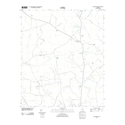 2011 Oak Park SW2011 Print · USGSThe rural stretches of Toombs County come into focus in the early 2010s, revealing a landscape of family-named roads and remote burial grounds. Genealogists can trace local history through sites like Eternal Glory Cemetery, Pidgeon Springs Cemetery, and Rice Lake.
 - 2011 Map of Oak Park, 2011 Print
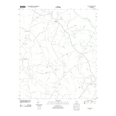 2011 Oak Park2011 Print · USGSSoutheastern Georgia at the start of the 2010s reveals a rural landscape anchored by Oak Park and the meandering Ohoopee River. Researchers can trace decades of local history through numerous burial sites like Collins Cemetery and Pendleton Springs Cemetery.
 - 2014 Map of Oak Park, 2014 Print
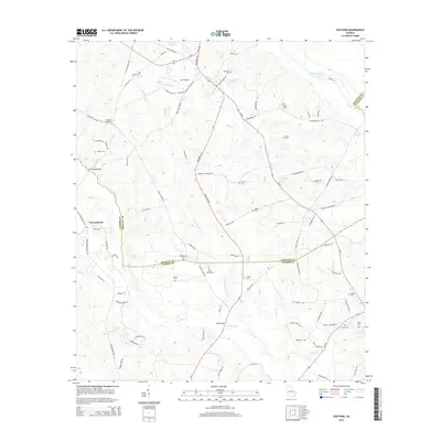 2014 Oak Park2014 Print · USGSToombs and Emanuel counties meet at the turn of the millennium in this survey of Georgia's coastal plain river systems. Genealogists and local historians can trace family roots at White Chapel Cem, McLain Cem, and the settlement of Normantown.
 - 2014 Map of Oak Park SW, 2014 Print
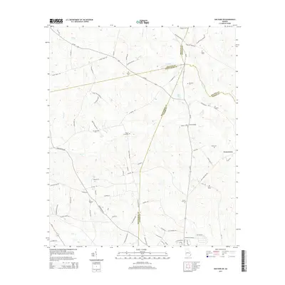 2014 Oak Park SW2014 Print · USGSThe rural borderlands of Toombs and Montgomery counties are captured in the mid-2010s, showing a landscape defined by creeks and family lineages. Genealogists can trace localized burial sites and family-named landmarks like McLeod Grave, Eternal Glory Cem, and Holmes Bridge.
 - 2017 Map of Oak Park, 2017 Print
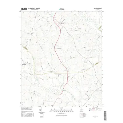 2017 Oak Park2017 Print · USGSSoutheast Georgia's rural character is preserved in this recent survey of the lands between the Ohoopee River and Lyons. Genealogists can trace family landmarks at the White Chapel Cem, Oak Park Cem, and the community of Normantown.
 - 2017 Map of Oak Park SW, 2017 Print
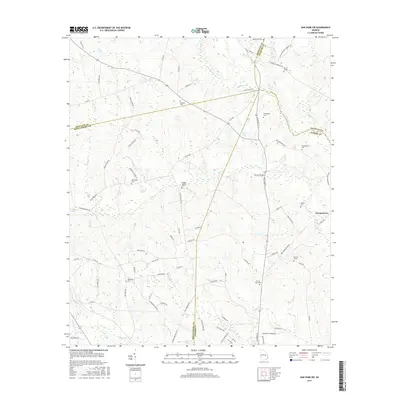 2017 Oak Park SW2017 Print · USGSThe Georgia coastal plain comes into focus in this late 2010s survey where four counties meet near Normantown. Genealogists and local historians can trace family land via McLeod Grave, Pidgeon Springs Cem, and the waters of Pendleton Creek.
 - 2020 Map of Oak Park, 2020 Print
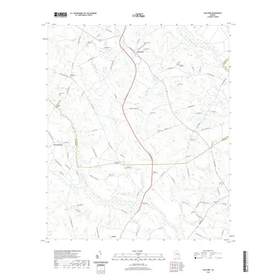 2020 Oak Park2020 Print · USGSSoutheast Georgia's rural landscape comes into focus here in 2020, centered on the community of Oak Park at the intersection of local history and modern hydrology. Genealogists can trace numerous family landmarks, from White Chapel Cem and Waters Cem to the storied waters of the Ohoopee River.
 - 2020 Map of Oak Park SW, 2020 Print
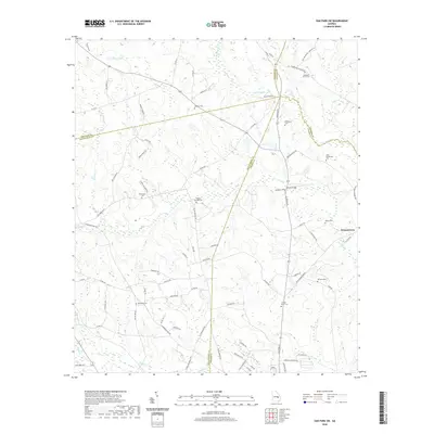 2020 Oak Park SW2020 Print · USGSThe rural borderlands of Toombs and Montgomery counties are captured here in the early twenty-first century. Family historians can locate numerous burial sites and landmarks including Normantown, the McLeod Grave, and Pidgeon Springs Cem.
 - 2024 Map of Oak Park SW, 2024 Print
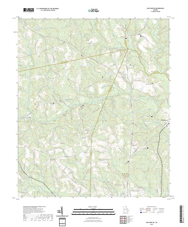 2024 Oak Park SW2024 Print · USGSFour Georgia counties—Montgomery, Treutlen, Emanuel, and Toombs—intersect in this rural landscape of family land and creek bottoms. Researchers can trace ancestral locations at Normantown or identify burial sites at Eternal Glory Cem and the McLeod Grave.
 - 2024 Map of Oak Park, 2024 Print
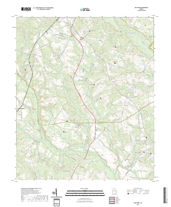 2024 Oak Park2024 Print · USGSOak Park and the surrounding rural landscape where Emanuel, Toombs, and Candler counties meet are shown here in the mid-2020s. Researchers can trace numerous family-named landmarks and burial sites like Shepherd Findley Cem, Williamson Cem, and Holt Airpark.
End of results
Showing maps 1-17 of 17
Top cities near Normantown
- Swainsboro historical maps
- Lyons historical maps
- Soperton historical maps
- Reidsville historical maps
- Mount Vernon historical maps
- Stillmore historical maps
See more
Frequently asked questions
- What are the different types of historical maps available for Normantown?
- What is the oldest map of Normantown?
- Where can I purchase historical maps of Normantown for my home or office?
- Where can I download high-res historical maps of Normantown?
- Are there historical topographic maps available for Normantown?
- Is there historical aerial imagery available for Normantown?
- Where are historical maps of Normantown sourced from?