2020s Maps of Twiggs County, Georgia
Explore 26 historic maps of Twiggs County from the 2020s. These maps offer a rare glimpse into what life looked like during the 2020s — showing old roads, neighborhoods, homes, and landmarks that have changed or disappeared over time.
Whether you're researching your family's past, planning a metal detecting trip, or studying how Twiggs County's landscape evolved across the 2020s, these high-resolution maps are a powerful tool for exploring the history of this region.
- Focus on a specific era: All maps on this page are from the 2020s, giving you a focused view of this time period.
- See what’s changed: Compare century-old streets, trails, and buildings to today's modern landscape using overlays and satellite layers.
- Research with precision: Use these maps for genealogy, historical research, land use analysis, or educational projects.
- View, download, or print: Maps are fully viewable online in high resolution, and can be downloaded or printed for your own records.
Start exploring Twiggs County's history through authentic maps from the 2020s. This is your window into the past.
Twiggs County, GA maps
(26)- 2020 Map of Massey Hill, 2020 Print
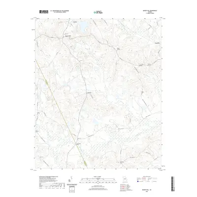 2020 Massey Hill2020 Print · USGSThe rural borderlands of Wilkinson and Twiggs County are captured here during the early twenty-first century. Genealogists and local historians can trace family roots through numerous small burial sites like Branan-Vinson Cem and the Clear Creek Baptist Cem.
 - 2020 Map of Danville East, 2020 Print
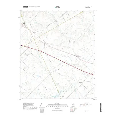 2020 Danville East2020 Print · USGSThe Georgia junctions of Wilkinson, Twiggs, and Laurens counties are documented here in the early twenty-first century. Genealogists and local historians can trace the rail-side growth of Danville and Allentown or locate rural landmarks like Laurens Hill and the Whitehall Airport.
 - 2020 Map of Warner Robins NE, 2020 Print
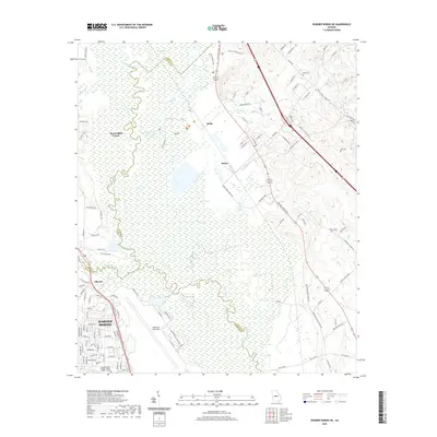 2020 Warner Robins NE2020 Print · USGSWarner Robins and the Ocmulgee River wetlands are documented here in the early twenty-first century as military and civilian sectors converge. Genealogists can trace family landmarks like Bond Cem and Pearce Cem near the expansive Robins Air Force Base.
 - 2020 Map of Marion, 2020 Print
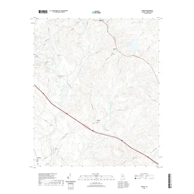 2020 Marion2020 Print · USGSTwiggs County in the early twenty-first century remains a landscape of deep family roots and quiet rural settlements. Genealogists can trace historical burial sites across the map, from Marion Cem to the remote Linda Melton Late Cem and O'Daniel Cem.
 - 2020 Map of Westlake, 2020 Print
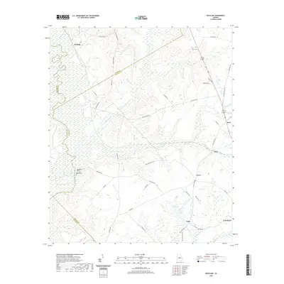 2020 Westlake2020 Print · USGSThe Ocmulgee River floodplain and the rural uplands of Bleckley County are captured here in the modern era. Researchers can locate the Walker Cem, trace the waters of Shellstone Creek, and explore small hubs like Royal and Paulk.
 - 2020 Map of Macon East, 2020 Print
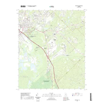 2020 Macon East2020 Print · USGSThe eastern reaches of Macon and the Ocmulgee River corridor are captured here in recent years, showing the city's transition into protected river bottomlands. Genealogists and historians can locate family landmarks like Stone Creek Cem, Andrews Cem, and the communities of Cross Keys and Mogul.
 - 2020 Map of James, 2020 Print
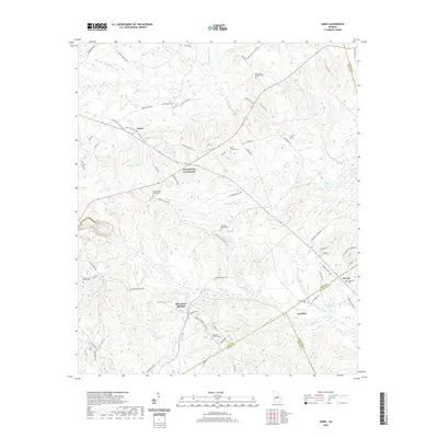 2020 James2020 Print · USGSJones and Wilkinson counties come together in this recent survey of central Georgia's rural heartland. Researchers can trace ancestral locations at the New Salem Baptist Cem, Mountain Springs, and the William Wood Family Cem.
 - 2020 Map of Tarversville, 2020 Print
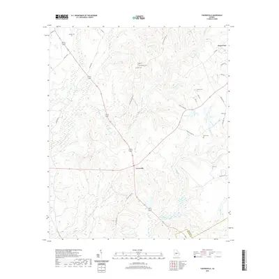 2020 Tarversville2020 Print · USGSTwiggs County in the early twenty-first century retains its rural character, centered on the historic crossroads at Tarversville. Researchers can trace local family lineages through a high concentration of sites like Beckham Cem, New Hope Cem, and Walters Cem along the Richland Creek corridor.
 - 2020 Map of Jeffersonville, 2020 Print
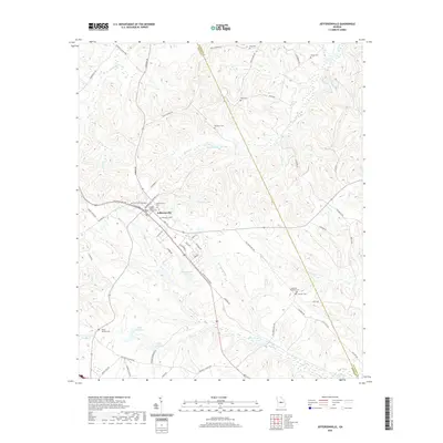 2020 Jeffersonville2020 Print · USGSJeffersonville and the surrounding Twiggs County countryside are documented here in the early twenty-first century. Genealogists can trace family landmarks across the landscape, from the Twiggs County Courthouse to rural sites like McCollum Cem and Hardy - Durham Cem.
 - 2020 Map of Warner Robins SE, 2020 Print
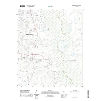 2020 Warner Robins SE2020 Print · USGSThe growing suburbs of Houston County and the operational footprint of Robins AFB meet the wild river bottomlands in this recent survey. Researchers can trace family sites at Mount Pleasant Cem or follow the winding Ocmulgee River through its swampy eastern boundary.
 - 2020 Map of Danville West, 2020 Print
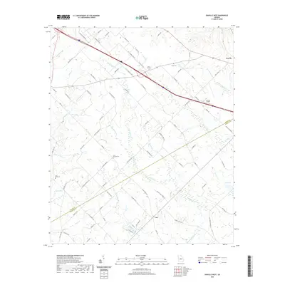 2020 Danville West2020 Print · USGSTwiggs and Bleckley Counties are captured here in the early twenty-first century as they transition from their agrarian roots. Researchers can trace family history through sites like Lizzy Harold Cem, Mount Zion Cem, and the rural settlement at Cary.
 - 2020 Map of Dry Branch, 2020 Print
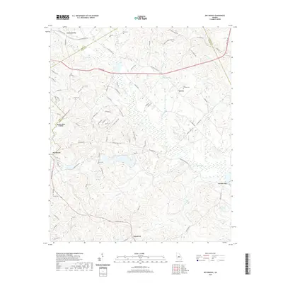 2020 Dry Branch2020 Print · USGSThe crossroads and creek-bottoms of Middle Georgia are captured here in the 2020s, spanning the borders of Bibb and Twiggs counties. Genealogists can locate family burial sites like Tharp Cem and Kitchens Cem or trace the environs of Myricks Mill.
 - 2020 Map of Hayneville, 2020 Print
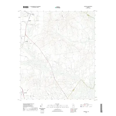 2020 Hayneville2020 Print · USGSHouston County and the outskirts of Perry come into focus in this recent survey of central Georgia. Researchers can trace the drainage of the Ocmulgee River and locate local landmarks like the Hayneville Cemetery and the settlement at Kathleen.
 - 2024 Map of Westlake, 2024 Print
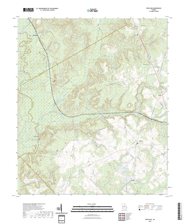 2024 Westlake2024 Print · USGSThe Ocmulgee River corridor and the rural uplands of Central Georgia are captured here in the early twenty-first century. Genealogists and local historians can trace family landmarks and small communities such as Royal, Walker Cem, and Paulk.
 - 2024 Map of Danville East, 2024 Print
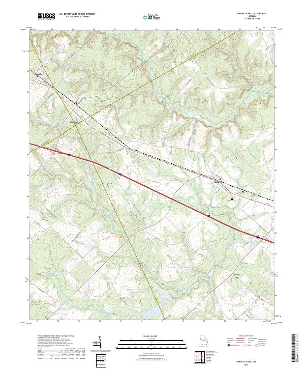 2024 Danville East2024 Print · USGSThe crossroads of four Georgia counties come into view in the 2020s, revealing a landscape of rural townships and winding creek bottoms. Genealogists can trace family connections near Montrose Cem, Macedonia Cem, and the settlement of Laurens Hill.
 - 2024 Map of Massey Hill, 2024 Print
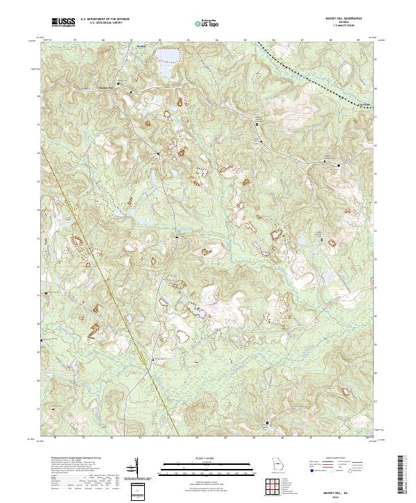 2024 Massey Hill2024 Print · USGSWilkinson and Twiggs counties are shown here in the current era, characterized by a mix of agricultural land and industrial kaolin mining. Genealogists can locate numerous family burial sites such as the Augustus Fountain Family Cem, Ramah Cem, and Shady Grove Cem.
 - 2024 Map of Marion, 2024 Print
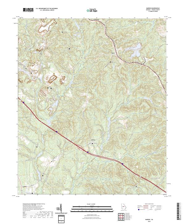 2024 Marion2024 Print · USGSTwiggs County's rural heartland is meticulously documented here as it appears today, centered on the historic crossroads of Marion. Researchers can trace ancestral sites across several family burial grounds like Beech Spring Cem and Glover Cem.
 - 2024 Map of Tarversville, 2024 Print
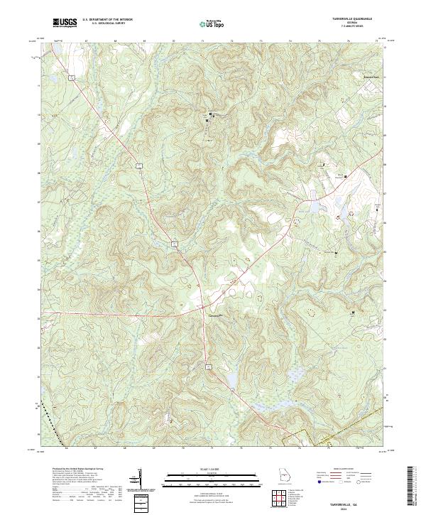 2024 Tarversville2024 Print · USGSCentral Georgia’s rural crossroads are captured here in the contemporary era, centered on the settlement of Tarversville. Family historians can trace numerous burial sites like Mount Olive Cem and Vaughn Cem tucked between the waters of Richland Creek and Savage Creek.
 - 2024 Map of Hayneville, 2024 Print
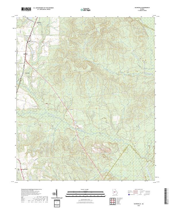 2024 Hayneville2024 Print · USGSHouston County, Georgia, is documented here in the early twenty-first century as a landscape of rural settlements and winding river boundaries. Local historians can trace family sites near Hayneville and the Hayneville Cem or follow the path of Big Indian Creek toward the Ocmulgee River.
 - 2024 Map of Warner Robins SE, 2024 Print
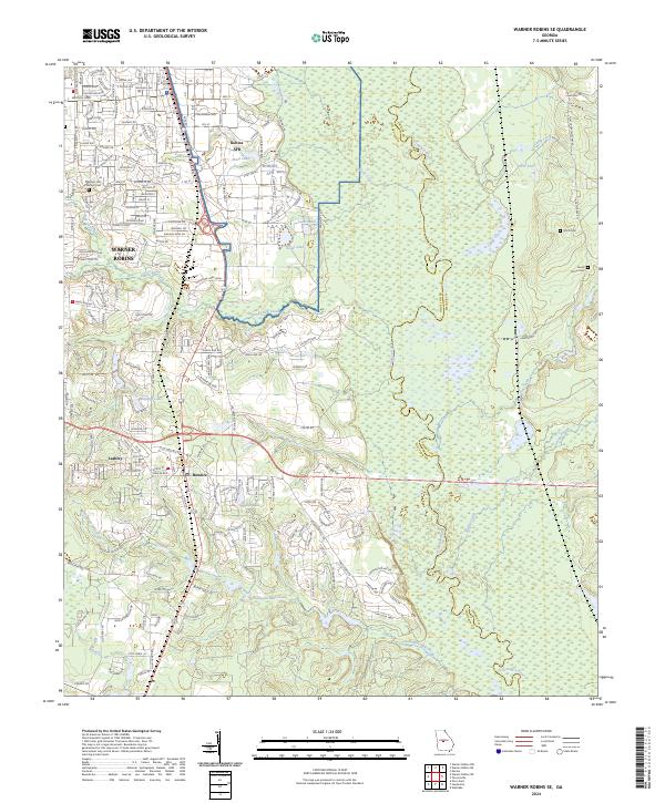 2024 Warner Robins SE2024 Print · USGSWarner Robins and the surrounding Houston County countryside are shown here in the 2020s, highlighting the integration of military and civilian landscapes. Genealogists and local historians can locate Smith Cem, Laurel Grove Cem, and trace the paths of Thompson Mill Creek toward the Ocmulgee River.
 - 2024 Map of Danville West, 2024 Print
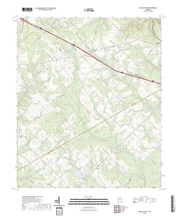 2024 Danville West2024 Print · USGSThe rural landscape of Twiggs and Bleckley Counties comes into focus in this contemporary survey. Genealogists and historians can trace local family lineages through Mount Zion Cem and Lizzy Harold Cem or locate the Danville Airpark.
 - 2024 Map of Dry Branch, 2024 Print
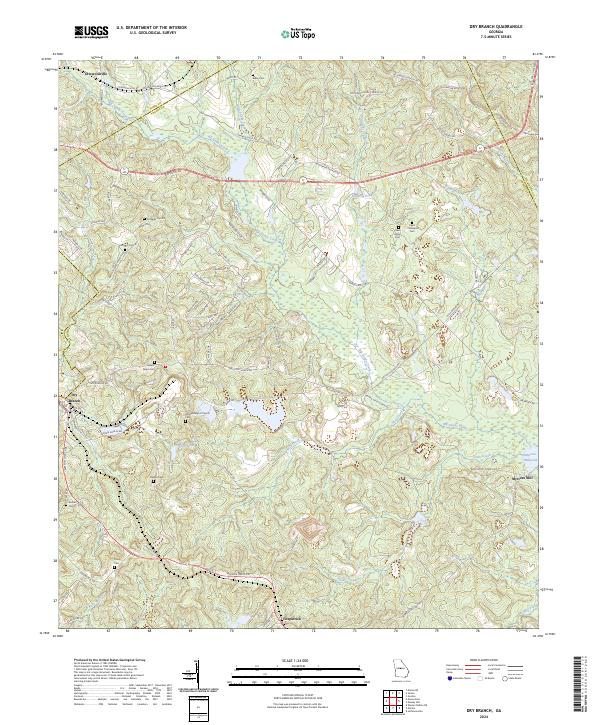 2024 Dry Branch2024 Print · USGSTwiggs County is captured here in the present day, showing the rural settlements and creek-fed valleys east of Macon. Researchers can locate numerous family burial grounds like Mount Gilgal Cem and historic landmarks such as Myricks Mill.
 - 2024 Map of Macon East, 2024 Print
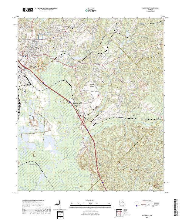 2024 Macon East2024 Print · USGSThe eastern edges of Macon meet the wetlands of the Ocmulgee River in this recent survey. Researchers can trace land use from the Ocmulgee National Monument to rural sites like Franklinton and the Stone Creek Cem.
 - 2024 Map of James, 2024 Print
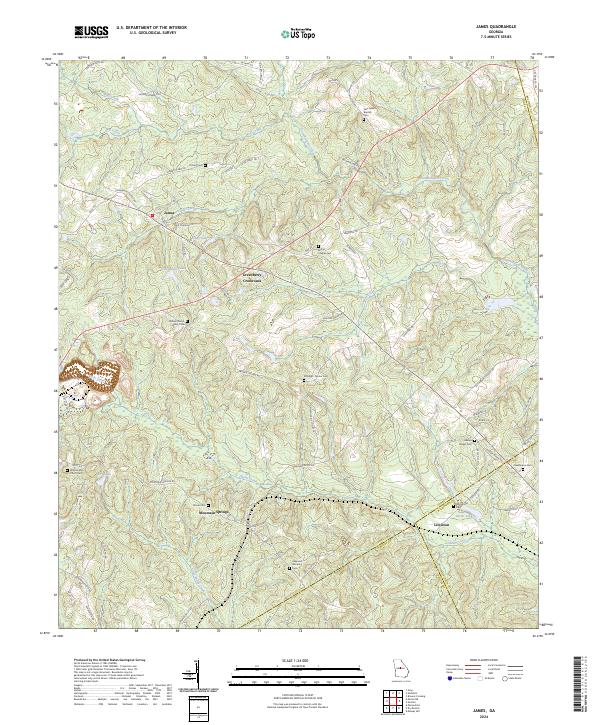 2024 James2024 Print · USGSJones County and its neighboring Wilkinson and Twiggs borders are captured here in the early twenty-first century. Genealogists can trace family heritage through numerous burial sites including Pickart Cem, Marys Chapel Cem, and the Ethridge - Minter Cem.
 - 2024 Map of Warner Robins NE, 2024 Print
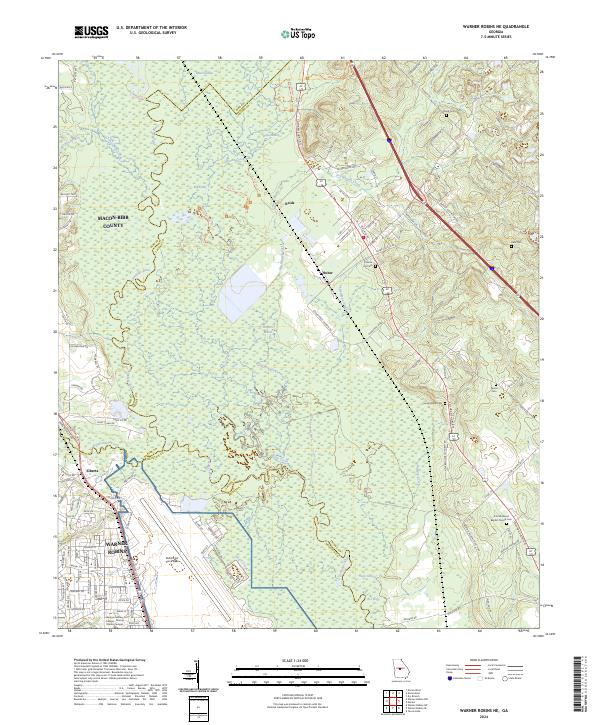 2024 Warner Robins NE2024 Print · USGSWarner Robins and the Ocmulgee riverlands are captured here in the 2020s, showing the intersection of military infrastructure and vast river bottomlands. Genealogists can locate family landmarks like Hale Cem and Chance Hill Cem or trace the rural roads near Huber.
Showing maps 1-25 of 26
Top cities of Twiggs County
Frequently asked questions
- What are the different types of historical maps available for Twiggs County?
- What is the oldest map of Twiggs County?
- Where can I purchase historical maps of Twiggs County for my home or office?
- Where can I download high-res historical maps of Twiggs County?
- Are there historical topographic maps available for Twiggs County?
- Is there historical aerial imagery available for Twiggs County?
- Where are historical maps of Twiggs County sourced from?