2000s (21st Century) Maps of Walker County, Georgia
Explore 75 historic maps of Walker County from the 2000s (21st Century). These maps offer a rare glimpse into what life looked like during the 2000s — showing old roads, neighborhoods, homes, and landmarks that have changed or disappeared over time.
Whether you're researching your family's past, planning a metal detecting trip, or studying how Walker County's landscape evolved across the 2000s, these high-resolution maps are a powerful tool for exploring the history of this region.
- Focus on a specific era: All maps on this page are from the 2000s, giving you a focused view of this time period.
- See what’s changed: Compare century-old streets, trails, and buildings to today's modern landscape using overlays and satellite layers.
- Research with precision: Use these maps for genealogy, historical research, land use analysis, or educational projects.
- View, download, or print: Maps are fully viewable online in high resolution, and can be downloaded or printed for your own records.
Start exploring Walker County's history through authentic maps from the 2000s. This is your window into the past.
Walker County, GA maps
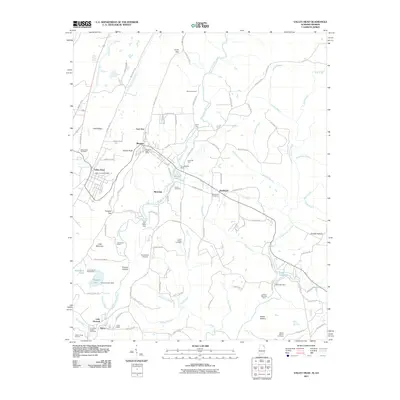
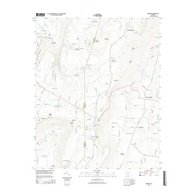
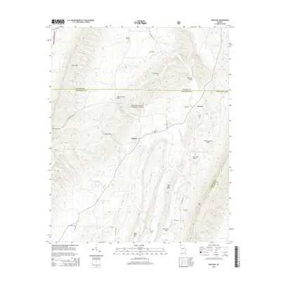
(75)- 2010 Map of Hooker, 2010 Print
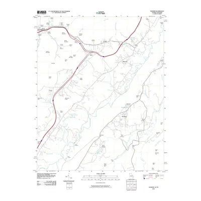 2010 Hooker2010 Print · USGSCovers Walker County, including Chattanooga, Trenton, and other nearby areas
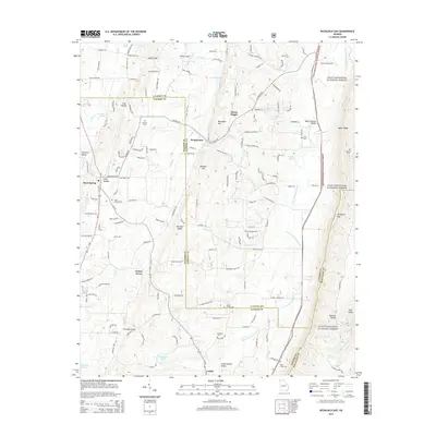
 - 2010 Map of Fort Oglethorpe, 2010 Print
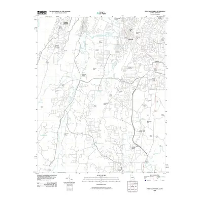 2010 Fort Oglethorpe2010 Print · USGSCovers Walker County, including Chattanooga, East Ridge, and other nearby areas
 - 2011 Map of Kensington, 2011 Print
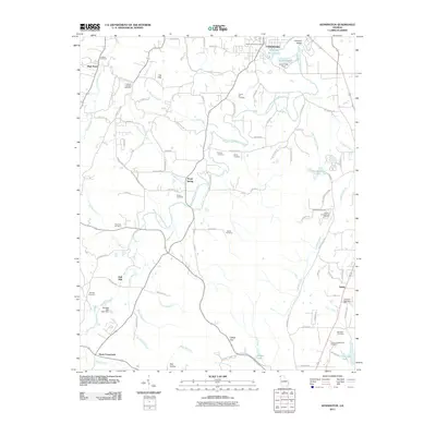 2011 Kensington2011 Print · USGSCovers Walker County, including LaFayette, Chickamauga, and other nearby areas
 - 2011 Map of Sugar Valley, 2011 Print
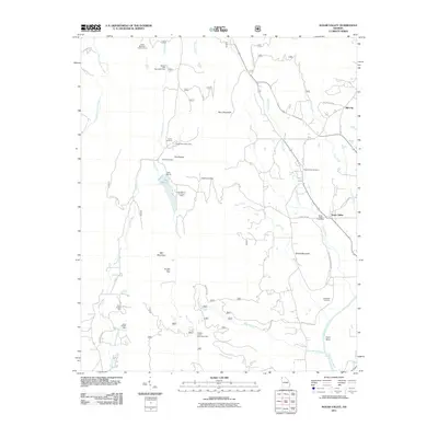 2011 Sugar Valley2011 Print · USGSCovers Walker County, including Sugar Valley, Hill City, and other nearby areas
 - 2011 Map of Valley Head, 2011 Print
 2011 Valley Head2011 Print · USGSCovers Walker County, including Fort Payne, Valley Head, and other nearby areas2 unique versions available
 - 2011 Map of LaFayette, 2011 Print
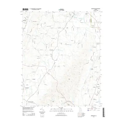
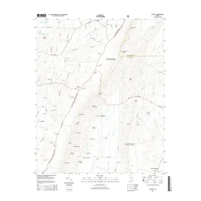
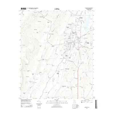
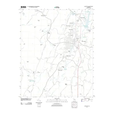 2011 LaFayette2011 Print · USGSCovers Walker County, including LaFayette, Estelle, and other nearby areas
 - 2011 Map of Subligna, 2011 Print
 2011 Subligna2011 Print · USGSCovers Walker County, including Waterville, Subligna, and other nearby areas
 - 2011 Map of Villanow, 2011 Print
 2011 Villanow2011 Print · USGSCovers Walker County, including Dalton, Villanow, and other nearby areas
 - 2011 Map of Catlett, 2011 Print
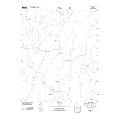 2011 Catlett2011 Print · USGSCovers Walker County, including Corinth, Suttles Mill, and other nearby areas
 - 2011 Map of Dougherty Gap, 2011 Print
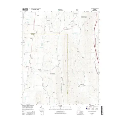
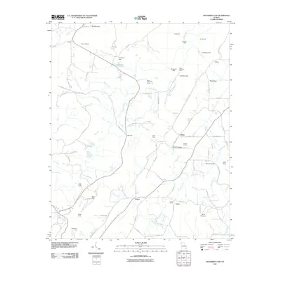 2011 Dougherty Gap2011 Print · USGSCovers Walker County, including Harrisburg, Neal Crossing, and other nearby areas
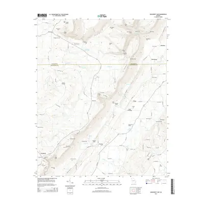
 - 2011 Map of Sulphur Springs, 2011 Print
 2011 Sulphur Springs2011 Print · USGSCovers Walker County, including Battelle, Rogers, and other nearby areas2 unique versions available
 - 2011 Map of Cedar Grove, 2011 Print
 2011 Cedar Grove2011 Print · USGSCovers Walker County, including Masseyville, Cedar Grove, and other nearby areas
 - 2011 Map of Nickajack Gap, 2011 Print
 2011 Nickajack Gap2011 Print · USGSCovers Walker County, including Mount Pisgah, Beaumount, and other nearby areas
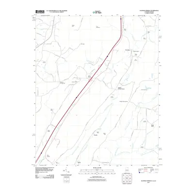
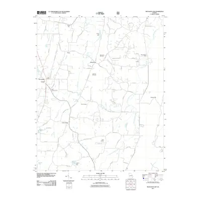
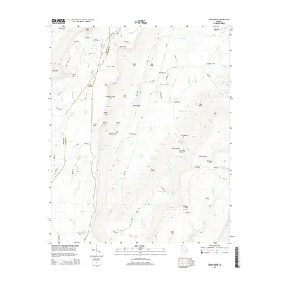
 - 2011 Map of Durham, 2011 Print
 2011 Durham2011 Print · USGSCovers Walker County, including Trenton, Cooper Heights, and other nearby areas
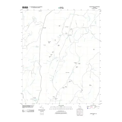
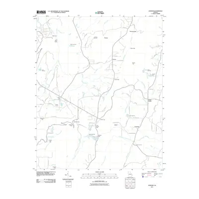
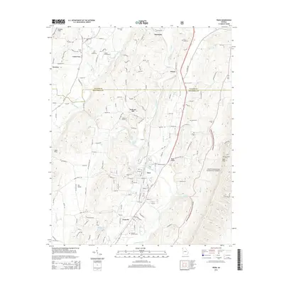
 - 2011 Map of Trion, 2011 Print
 2011 Trion2011 Print · USGSCovers Walker County, including Trion, Center Post, and other nearby areas
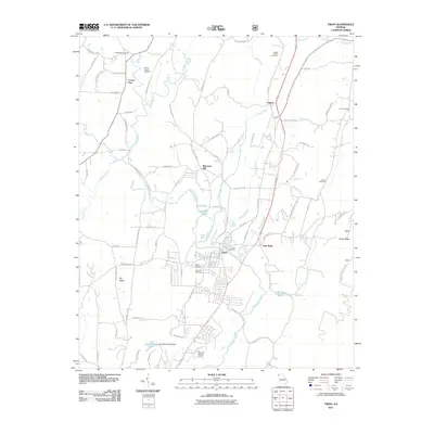
 - 2014 Map of Dougherty Gap, 2014 Print
 2014 Dougherty Gap2014 Print · USGSCovers Walker County, including Harrisburg, Neal Crossing, and other nearby areas
 - 2014 Map of Durham, 2014 Print
 2014 Durham2014 Print · USGSCovers Walker County, including Trenton, Cooper Heights, and other nearby areas
 - 2014 Map of Nickajack Gap, 2014 Print
 2014 Nickajack Gap2014 Print · USGSCovers Walker County, including Mount Pisgah, Beaumount, and other nearby areas
 - 2014 Map of Cedar Grove, 2014 Print
 2014 Cedar Grove2014 Print · USGSCovers Walker County, including Masseyville, Cedar Grove, and other nearby areas
 - 2014 Map of Kensington, 2014 Print
 2014 Kensington2014 Print · USGSCovers Walker County, including LaFayette, Chickamauga, and other nearby areas
 - 2014 Map of Subligna, 2014 Print
 2014 Subligna2014 Print · USGSCovers Walker County, including Waterville, Subligna, and other nearby areas
 - 2014 Map of Catlett, 2014 Print
 2014 Catlett2014 Print · USGSCovers Walker County, including Corinth, Suttles Mill, and other nearby areas
 - 2014 Map of Trion, 2014 Print
 2014 Trion2014 Print · USGSCovers Walker County, including Trion, Center Post, and other nearby areas
 - 2014 Map of Villanow, 2014 Print
 2014 Villanow2014 Print · USGSCovers Walker County, including Dalton, Villanow, and other nearby areas
 - 2014 Map of LaFayette, 2014 Print
 2014 LaFayette2014 Print · USGSCovers Walker County, including LaFayette, Estelle, and other nearby areas
Showing maps 1-25 of 75
Top cities of Walker County
- LaFayette historical maps
- Rossville historical maps
- Chickamauga historical maps
- Lookout Mountain historical maps
Frequently asked questions
- What are the different types of historical maps available for Walker County?
- What is the oldest map of Walker County?
- Where can I purchase historical maps of Walker County for my home or office?
- Where can I download high-res historical maps of Walker County?
- Are there historical topographic maps available for Walker County?
- Is there historical aerial imagery available for Walker County?
- Where are historical maps of Walker County sourced from?