2020s Maps of Wilkes County, Georgia
Explore 34 historic maps of Wilkes County from the 2020s. These maps offer a rare glimpse into what life looked like during the 2020s — showing old roads, neighborhoods, homes, and landmarks that have changed or disappeared over time.
Whether you're researching your family's past, planning a metal detecting trip, or studying how Wilkes County's landscape evolved across the 2020s, these high-resolution maps are a powerful tool for exploring the history of this region.
- Focus on a specific era: All maps on this page are from the 2020s, giving you a focused view of this time period.
- See what’s changed: Compare century-old streets, trails, and buildings to today's modern landscape using overlays and satellite layers.
- Research with precision: Use these maps for genealogy, historical research, land use analysis, or educational projects.
- View, download, or print: Maps are fully viewable online in high resolution, and can be downloaded or printed for your own records.
Start exploring Wilkes County's history through authentic maps from the 2020s. This is your window into the past.
Wilkes County, GA maps
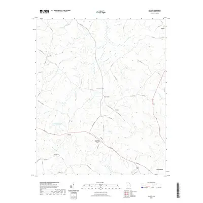
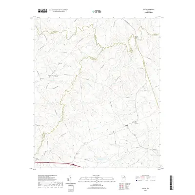
(34)- 2020 Map of Philomath, 2020 Print
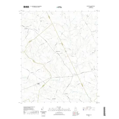 2020 Philomath2020 Print · USGSCovers Wilkes County, including Philomath, Springfield, and other nearby areas
 - 2020 Map of Broad, 2020 Print
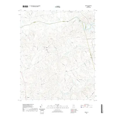 2020 Broad2020 Print · USGSCovers Wilkes County, including Tignall, Beulah, and other nearby areas
 - 2020 Map of Aonia, 2020 Print
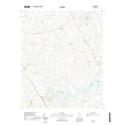 2020 Aonia2020 Print · USGSCovers Wilkes County, including Oak Grove, Adasburg, and other nearby areas
 - 2020 Map of Wrightsboro, 2020 Print
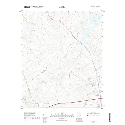 2020 Wrightsboro2020 Print · USGSCovers Wilkes County, including Cedar Rock, Wrightsboro, and other nearby areas
 - 2020 Map of Celeste, 2020 Print
 2020 Celeste2020 Print · USGSCovers Wilkes County, including Washington, Tignall, and other nearby areas
 - 2020 Map of Woodlawn, 2020 Print
 2020 Woodlawn2020 Print · USGSCovers Wilkes County, including Amity, Winfield Hill, and other nearby areas
 - 2020 Map of Crawfordville, 2020 Print
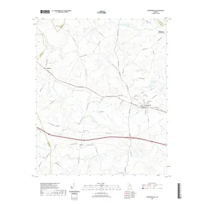 2020 Crawfordville2020 Print · USGSCovers Wilkes County, including Crawfordville, Edgewood Crossroads, and other nearby areas
 - 2020 Map of Rayle, 2020 Print
 2020 Rayle2020 Print · USGSCovers Wilkes County, including Rayle, Callaway, and other nearby areas
 - 2020 Map of Metasville, 2020 Print
 2020 Metasville2020 Print · USGSCovers Wilkes County, including Goshen, Lovelace, and other nearby areas
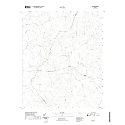
 - 2020 Map of Vesta, 2020 Print
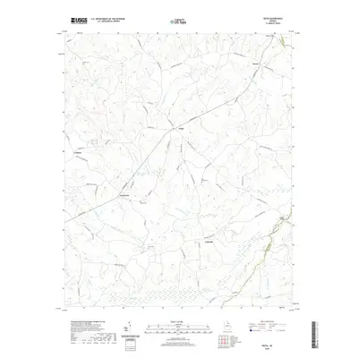 2020 Vesta2020 Print · USGSCovers Wilkes County, including Fairview, Palmetto, and other nearby areas
 - 2020 Map of Cadley, 2020 Print
 2020 Cadley2020 Print · USGSCovers Wilkes County, including Cadley, Thigpen, and other nearby areas
 - 2020 Map of Washington East, 2020 Print
 2020 Washington East2020 Print · USGSCovers Wilkes County, including Washington, Anne Heights, and other nearby areas
 - 2020 Map of Washington West, 2020 Print
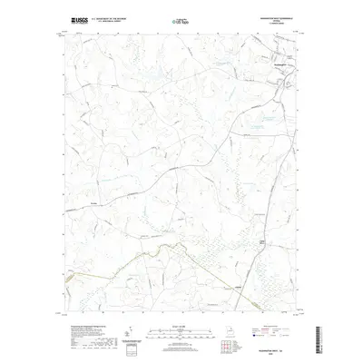 2020 Washington West2020 Print · USGSCovers Wilkes County, including Washington, Lincoln Heights, and other nearby areas
 - 2020 Map of Jacksons Crossroads, 2020 Print
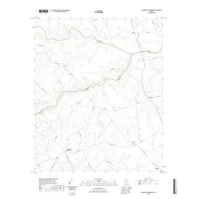 2020 Jacksons Crossroads2020 Print · USGSCovers Wilkes County, including Tignall, Bell, and other nearby areas
 - 2020 Map of Tignall, 2020 Print
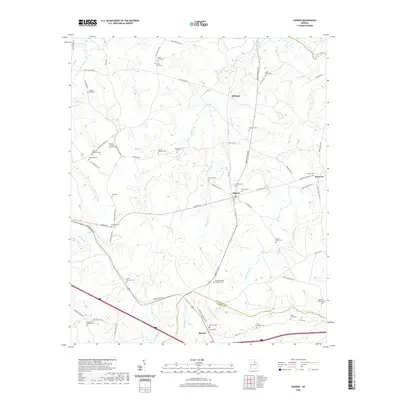
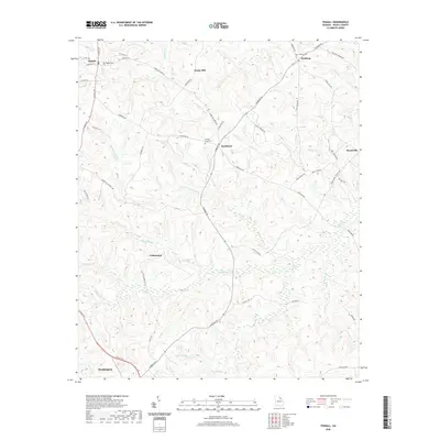 2020 Tignall2020 Print · USGSCovers Wilkes County, including Washington, Tignall, and other nearby areas
 - 2020 Map of Chennault, 2020 Print
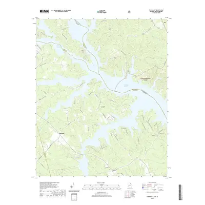 2020 Chennault2020 Print · USGSCovers Wilkes County, including Lisbon, Midway, and other nearby areas
 - 2020 Map of Sharon, 2020 Print
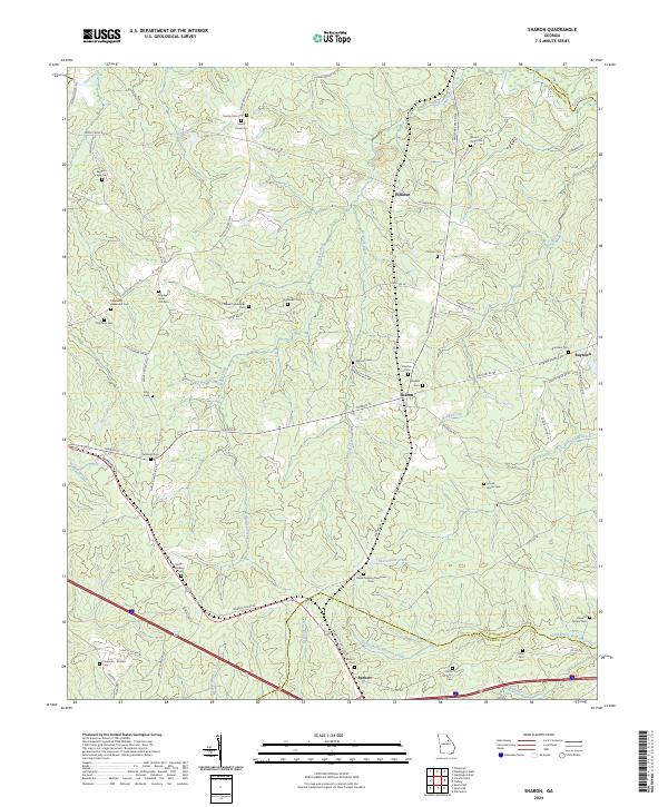
 2020 Sharon2020 Print · USGSCovers Wilkes County, including Sharon, Deerlick Astronomy Village, and other nearby areas
 - 2024 Map of Aonia, 2024 Print
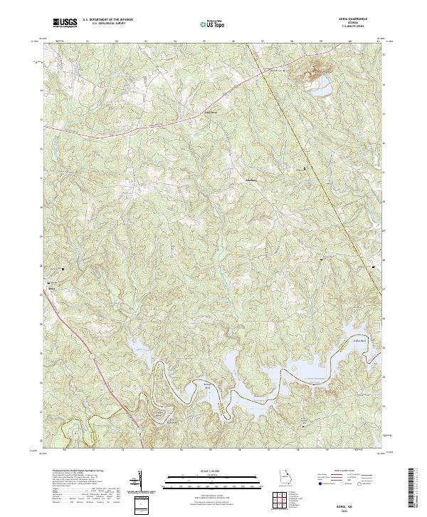 2024 Aonia2024 Print · USGSWilkes and Lincoln counties come into focus in this recent study of the rural Georgia landscape. Genealogists and historians can trace family land and local heritage through sites like Pierces Chapel, Ebenezer Cem, and the historic crossing at Fish Dam Ford.
 - 2024 Map of Philomath, 2024 Print
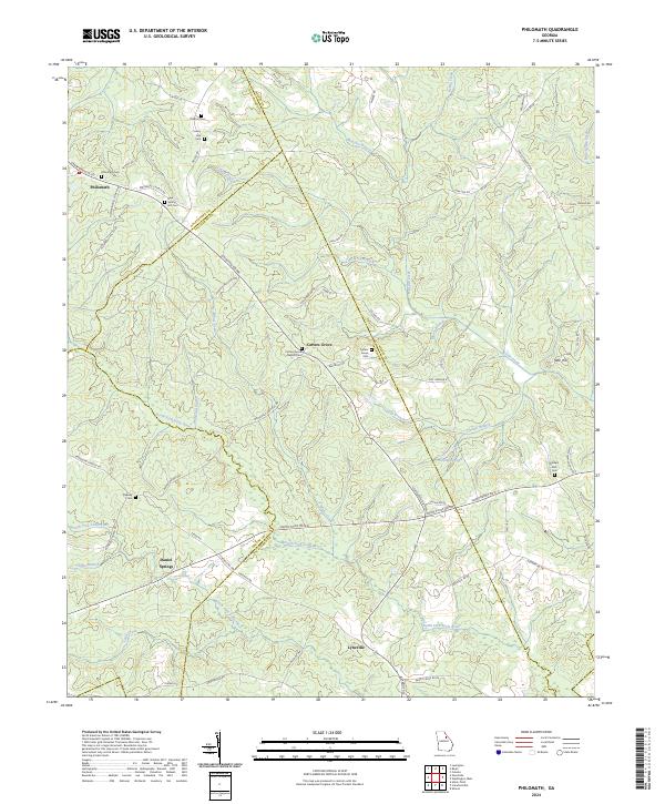 2024 Philomath2024 Print · USGSWilkes and Oglethorpe counties are mapped here in the modern era, showing a landscape still rooted in its 19th-century settlement patterns. Genealogists can trace family locations through numerous sites like Philomath Cem, Beasley Cem, and the church at Carters Grove.
 - 2024 Map of Sharon, 2024 Print
 2024 Sharon2024 Print · USGSTaliaferro County and its neighbors come into focus in this contemporary survey of the Sharon and Barnett area. Genealogists and historians can trace dozens of family-named sites, from the Stephens Cem to the Daniel B Pilcher Cem and the small community of Raytown.
 - 2024 Map of Celeste, 2024 Print
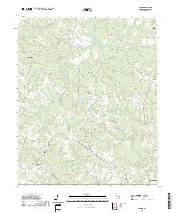 2024 Celeste2024 Print · USGSWilkes County crossroads and small settlements come into focus in this contemporary survey of the Georgia Piedmont. Researchers can trace family history at Newtown Cem and locate landmarks like the Washington-Wilkes County Airport and Celeste.
 - 2024 Map of Washington West, 2024 Print
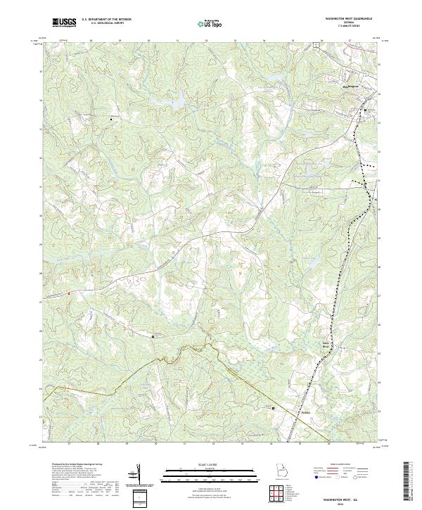 2024 Washington West2024 Print · USGSWilkes County at the start of the 2020s remains a landscape of historic family crossroads and interconnected waterways. Genealogists and local historians can trace burial sites like Bethel Cem and Simpson Cem or locate the rural settlement of Ficklin.
 - 2024 Map of Wrightsboro, 2024 Print
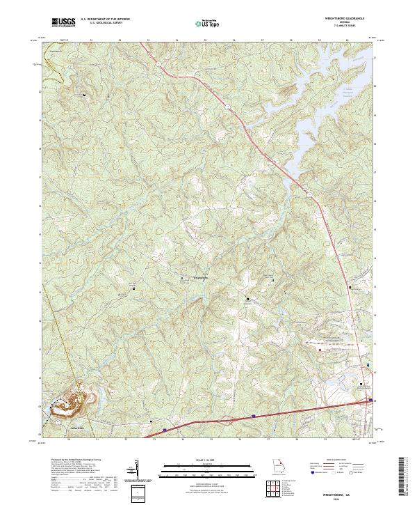 2024 Wrightsboro2024 Print · USGSEastern Georgia's McDuffie County is captured in this modern survey, showing a landscape where contemporary aviation and historic cemeteries meet. Researchers can trace family roots at Wrightsboro Church Cem and Liberty Hill Cem, or explore the shoreline of J. Strom Thurmond Reservoir.
 - 2024 Map of Vesta, 2024 Print
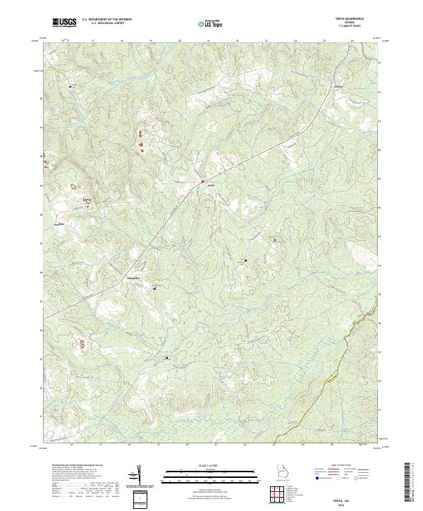 2024 Vesta2024 Print · USGSOglethorpe and Wilkes counties remain a landscape of quiet crossroads and historic family plots in the early twenty-first century. Genealogists and local historians can trace legacy sites like Bridges Cem, Saxon, and Veribest along the banks of Goosepond Creek.
 - 2024 Map of Jacksons Crossroads, 2024 Print
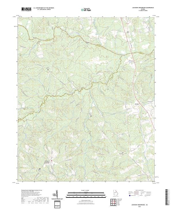 2024 Jacksons Crossroads2024 Print · USGSWilkes and Oglethorpe counties meet along the Broad River in this modern survey of rural Georgia. Researchers can trace ancestral locations near Jacksons Crossroads and find historic burial sites like Clarks Station Cem and Mallorysville Cem.
Showing maps 1-25 of 34
Top cities of Wilkes County
Frequently asked questions
- What are the different types of historical maps available for Wilkes County?
- What is the oldest map of Wilkes County?
- Where can I purchase historical maps of Wilkes County for my home or office?
- Where can I download high-res historical maps of Wilkes County?
- Are there historical topographic maps available for Wilkes County?
- Is there historical aerial imagery available for Wilkes County?
- Where are historical maps of Wilkes County sourced from?