2010s Maps of Wilkes County, Georgia
Explore 51 historic maps of Wilkes County from the 2010s. These maps offer a rare glimpse into what life looked like during the 2010s — showing old roads, neighborhoods, homes, and landmarks that have changed or disappeared over time.
Whether you're researching your family's past, planning a metal detecting trip, or studying how Wilkes County's landscape evolved across the 2010s, these high-resolution maps are a powerful tool for exploring the history of this region.
- Focus on a specific era: All maps on this page are from the 2010s, giving you a focused view of this time period.
- See what’s changed: Compare century-old streets, trails, and buildings to today's modern landscape using overlays and satellite layers.
- Research with precision: Use these maps for genealogy, historical research, land use analysis, or educational projects.
- View, download, or print: Maps are fully viewable online in high resolution, and can be downloaded or printed for your own records.
Start exploring Wilkes County's history through authentic maps from the 2010s. This is your window into the past.
Wilkes County, GA maps
(51)- 2011 Map of Celeste, 2011 Print
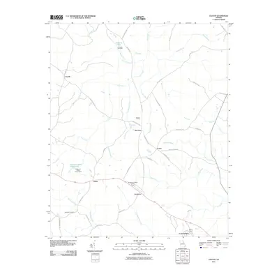 2011 Celeste2011 Print · USGSWilkes County at the start of the 2010s reveals a quiet landscape of rural crossroads and family settlements. Researchers can trace the layout of New Town, Celeste, and Brickhouse while locating family roots at Newtown Cemetery or Beaverdam Cemetery.
 - 2011 Map of Cadley, 2011 Print
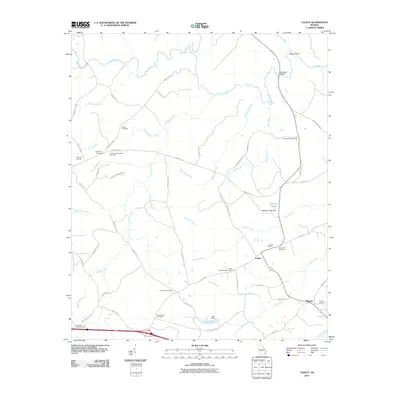 2011 Cadley2011 Print · USGSThe community of Cadley and the rural stretches of Warren County are shown here in the early twenty-first century. Genealogists and local researchers can trace a high density of burial sites including Sardis Cemetery, Shiloh Cemetery, and Ebenezer Cemetery.
 - 2011 Map of Tignall, 2011 Print
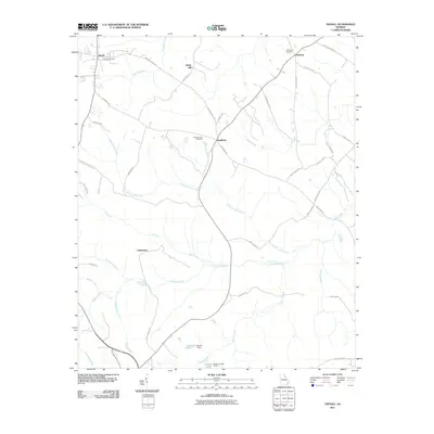 2011 Tignall2011 Print · USGSWilkes County at the start of the 2010s remains a landscape of interconnected rural hamlets and family-named landmarks. Researchers can trace historical footprints through several local sites, including the Tignall Cemetery, Sandtown, and Fishing Creek.
 - 2011 Map of Washington West, 2011 Print
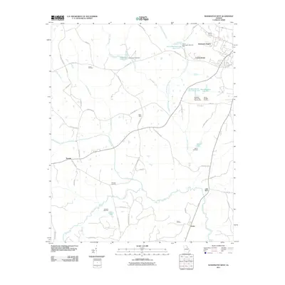 2011 Washington West2011 Print · USGSWilkes County at the start of the 2010s reveals a landscape of historic rural communities and small-scale water management. Researchers can locate family burial sites at Bethel Cemetery or Mercer Cemetery and trace local industry through the Stony Ridge Mine.
 - 2011 Map of Jacksons Crossroads, 2011 Print
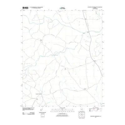 2011 Jacksons Crossroads2011 Print · USGSWilkes County near the turn of the twenty-first century is captured here through its network of winding roads and river crossings. Genealogists can trace family roots through sites like Rocky Branch Cemetery and the settlements of Jacksons Crossroads and Bell.
 - 2011 Map of Washington East, 2011 Print
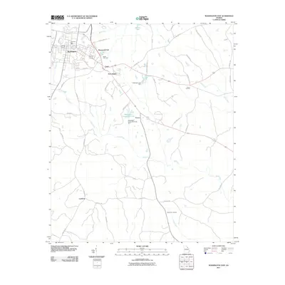 2011 Washington East2011 Print · USGSWilkes County at the turn of the decade shows the residential expansion and rural crossroads surrounding Washington. Genealogists and local researchers can locate family sites near Smyrna Cemetery, Mount Zion Cemetery, and the historic Washington Post Office.
 - 2011 Map of Broad, 2011 Print
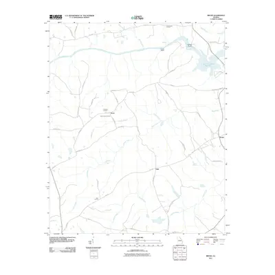 2011 Broad2011 Print · USGSWilkes County at the start of the 2010s remains a landscape of quiet crossroads and river bends. Genealogists and local historians can locate ancestral sites like Popes Chapel Cemetery, the settlement at Delhi, and the natural landmark of Anthony Shoals.
 - 2011 Map of Rayle, 2011 Print
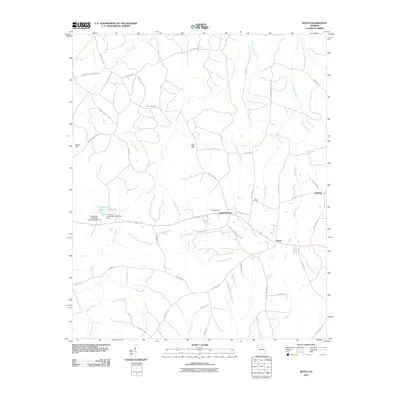 2011 Rayle2011 Print · USGSRayle and Centerville appear here in the early twenty-first century, showing a landscape of research farms and historic family lands. Genealogists can locate family burial sites like Chafin Cemetery or trace old mining sites such as Fairy Ridge Mine.
 - 2011 Map of Sharon, 2011 Print
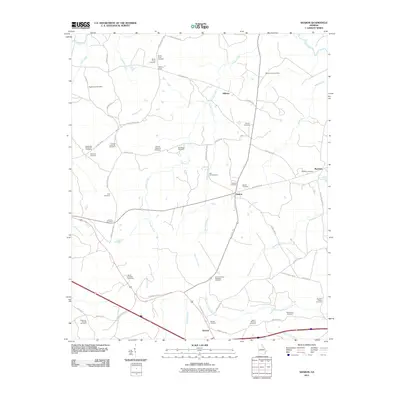 2011 Sharon2011 Print · USGSTaliaferro County's rural character remains centered on small settlements like Sharon and Barnett during this modern era. Genealogists can trace family heritage across dozens of sites including Saggus-Lyle Cemetery, Raytown Cemetery, and Greater Level Hill Cemetery.
 - 2011 Map of Vesta, 2011 Print
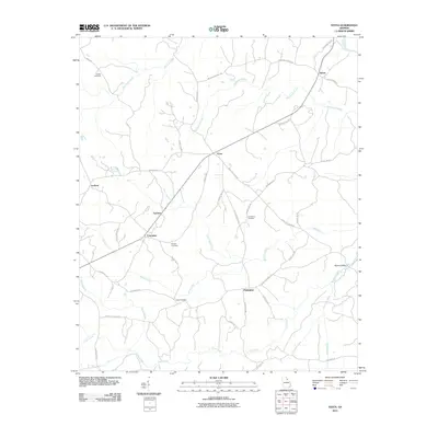 2011 Vesta2011 Print · USGSNorthwestern Oglethorpe County maintains its traditional rural character in this recent survey of the Vesta and Fairview vicinity. Genealogists and local historians can pinpoint family burial sites such as Bridges and Faust alongside settlements like Enterprise and Saxon.
 - 2011 Map of Wrightsboro, 2011 Print
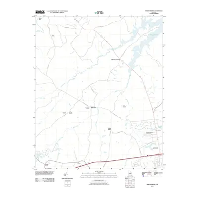 2011 Wrightsboro2011 Print · USGSWrightsboro and the surrounding Georgia countryside appear in the early twenty-first century as a landscape of rural crossroads and historic cemeteries. Genealogists can trace family landmarks like Moore Cemetery and Ivey Cemetery near the shores of J. Strom Thurmond Reservoir.
 - 2011 Map of Metasville, 2011 Print
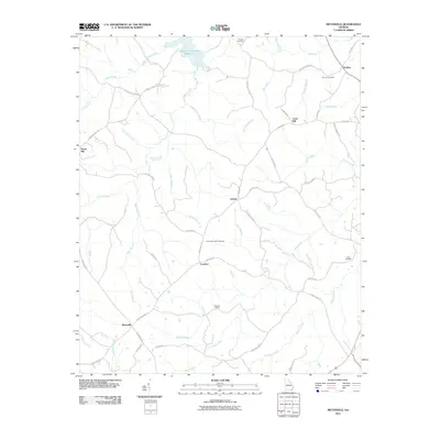 2011 Metasville2011 Print · USGSLincoln County’s rural communities are preserved in this recent survey of eastern Georgia. Genealogists and local historians can trace family locations near Metasville, Goshen, and historic sites like the Magruda Mines or Anthonys Chapel Cemetery.
 - 2011 Map of Woodlawn, 2011 Print
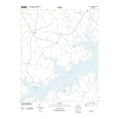 2011 Woodlawn2011 Print · USGSLincoln County and the shoreline of the reservoir are captured here during the early twenty-first century. Genealogists and local historians can locate rural landmarks such as Saint Pauls Methodist Church Cemetery and settlements like Amity and Leathersville.
 - 2011 Map of Aonia, 2011 Print
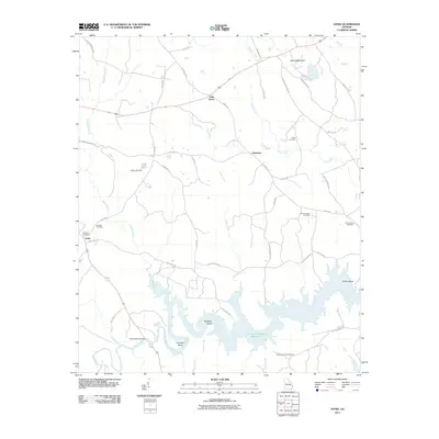 2011 Aonia2011 Print · USGSWilkes County at the start of the 2010s is a landscape of rural crossroads and the expansive backwaters of the Savannah River. Genealogists and local historians can trace family ties at Pierces Chapel Cemetery, Ebenezer Cemetery, or the hamlet of Adasburg.
 - 2011 Map of Crawfordville, 2011 Print
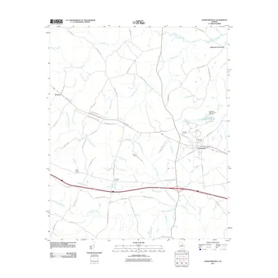 2011 Crawfordville2011 Print · USGSCrawfordville and the surrounding Taliaferro County countryside are captured here in the early twenty-first century as the landscape transitions between major river basins. Genealogists can locate family landmarks like Friendship Cemetery or New Hope Cemetery and trace the rural reaches of Gunn Hill and Robinson.
 - 2011 Map of Philomath, 2011 Print
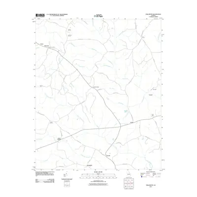 2011 Philomath2011 Print · USGSOglethorpe County in the early twenty-first century remains a landscape of historic crossroads and significant battle sites. Researchers can trace family roots at Beasley Cemetery or explore the geography of Kettle Creek Battlefield and the settlement at Philomath.
 - 2011 Map of Chennault, 2011 Print
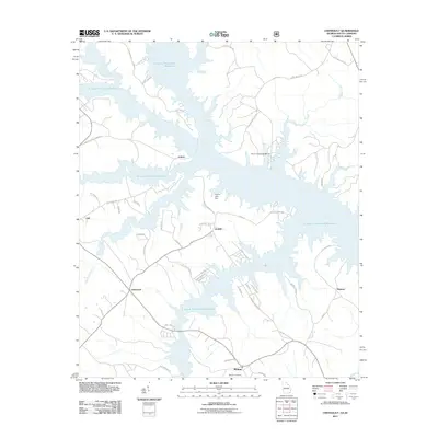 2011 Chennault2011 Print · USGSThe Georgia-South Carolina borderlands are defined by the winding shorelines of the Savannah River basin in the early 2000s. Local researchers can trace family landmarks and rural settlements from Chennault and Lisbon to the quiet grounds of Midway Cemetery.
 - 2014 Map of Metasville, 2014 Print
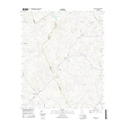 2014 Metasville2014 Print · USGSLincoln and Wilkes counties remain deeply rural in the early twenty-first century, centered on the crossroads of Metasville and Goshen. Genealogists can trace family footprints through sites like Anthonys Chapel Cem and Estes Cem.
 - 2014 Map of Celeste, 2014 Print
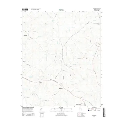 2014 Celeste2014 Print · USGSWilkes County at the start of the 21st century remains a landscape of quiet crossroads and historic family settlements. Researchers can trace the layout of community hubs like New Town and Brickhouse or locate the Newtown Cem along the local creek branches.
 - 2014 Map of Wrightsboro, 2014 Print
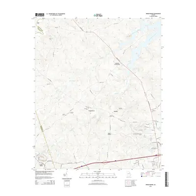 2014 Wrightsboro2014 Print · USGSMcDuffie County's rolling landscape and the banks of the reservoir are captured here during a period of modern growth and historical preservation. Genealogists and local historians can trace family locations near Wrightsboro, the Thomson-McDuffie County Airport, and rural sites like Pleasant Grove Cem.
 - 2014 Map of Washington East, 2014 Print
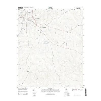 2014 Washington East2014 Print · USGSWilkes County at the start of the 2010s shows a landscape of expanding neighborhoods and quiet rural crossroads. Genealogists can locate family sites and landmarks such as Smyrna Cem, Logan, and Cliffords Grove Cem.
 - 2014 Map of Jacksons Crossroads, 2014 Print
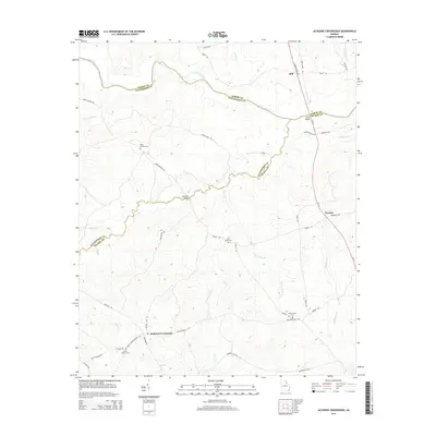 2014 Jacksons Crossroads2014 Print · USGSThe Georgia Piedmont at the intersection of Elbert, Oglethorpe, and Wilkes Counties reveals a landscape of dispersed rural settlements and family-held land. Genealogists can trace local history through Clarks Station Cem and Jacksons Crossroads or locate old river crossings at Bells Bridge.
 - 2014 Map of Vesta, 2014 Print
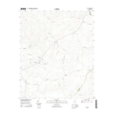 2014 Vesta2014 Print · USGSOglethorpe County’s rolling Piedmont country is documented here in the early twenty-first century. Researchers can trace family roots at Hobbs Cem and Earl Bolton Cem or locate rural centers like Vesta, Veribest, and Enterprise.
 - 2014 Map of Chennault, 2014 Print
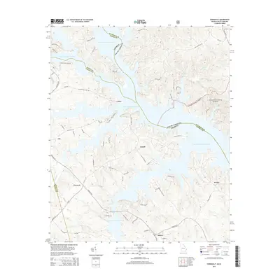 2014 Chennault2014 Print · USGSLisbon and the Savannah River valley are shown here in the contemporary era, where the vast waters of the J. Storm Thurmond Reservoir have reshaped the Georgia-South Carolina border. Researchers can trace rural settlement patterns and local access roads near Graball, Chennault, and the Sumter National Forest.
 - 2014 Map of Tignall, 2014 Print
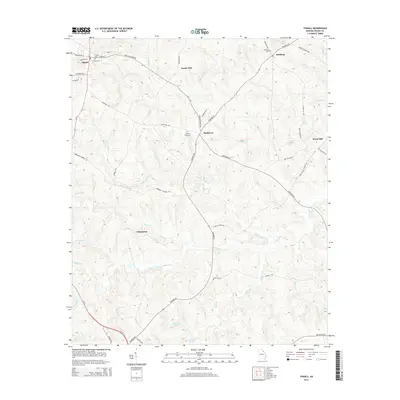 2014 Tignall2014 Print · USGSWilkes County life in the early 21st century centers on the town of Tignall and its surrounding rural communities. Genealogists and local historians can trace family locations near Cohentown, Danburg, or the historic burial grounds at Fishing Creek Cem.
Showing maps 1-25 of 51
Top cities of Wilkes County
Frequently asked questions
- What are the different types of historical maps available for Wilkes County?
- What is the oldest map of Wilkes County?
- Where can I purchase historical maps of Wilkes County for my home or office?
- Where can I download high-res historical maps of Wilkes County?
- Are there historical topographic maps available for Wilkes County?
- Is there historical aerial imagery available for Wilkes County?
- Where are historical maps of Wilkes County sourced from?