Old Maps of Captain Cook, Hawaii for Hiking & Exploration
Hike through history with 12 historic maps of Captain Cook. Explore old trails, ghost towns, and forgotten backroads — perfect for outdoor adventurers and local explorers.
- Rediscover forgotten places: Map out old mining camps, roads, and footpaths that no longer exist on modern maps.
- Layer with modern tools: Combine with LiDAR or satellite views to plan hikes through historical terrain.
- Made for exploration: Popular among hikers, overlanders, and local history lovers.
Use these maps to find adventure and explore the hidden past of Captain Cook.
Captain Cook, HI maps
(12)- 1954 Map of Hawaii South
 1954 Hawaii South1954 Print · USGSThe southern reaches of the Big Island in the mid-fifties show a landscape of volcanic peaks, coastal villages, and upland timber mills. Researchers can trace the old island infrastructure through sites like Koa Mill, Hoopuloa, and the remote Mountain House.
 - 1959 Map of Hawaii South
 1959 Hawaii South1959 Print · USGSThe southern half of the Big Island appears here in the late fifties, dominated by the active volcanic peaks and extensive forest reserves. Researchers can trace the mid-century footprints of Pahala, Waiohinu, and the agricultural grounds of Gaspard Dairy.
 - 1959 Map of Honaunau, 1960 Print
 1959 Honaunau1960 Print · USGSCoastal South Kona is captured here during the late fifties, as traditional coffee farming and coastal villages defined the landscape. Genealogists and historians can trace family locations near the Coffee Mill, Napoopoo School, or the City of Refuge National Historical Park.2 unique versions available
 - 1961 Map of Hawaii South
 1961 Hawaii South1961 Print · USGSThe southern region of the Big Island appears here in the early sixties, illustrating a landscape of volcanic craters and remote agricultural outposts. Genealogists and historians can trace the locations of Wood Valley Camp, the Koa Mill, and the ruins at Kahio.
 - 1962 Map of Hawaii South
 1962 Hawaii South1962 Print · USGSThe southern half of Hawaii Island in the early sixties showcases a landscape defined by volcanic rifts and coastal settlements. Researchers can trace the Hawaii Consolidated rail line, find the Kuee (Ruined) site, and locate remote camps like Hooper Camp.2 unique versions available
 - 1975 Map of Hawaii, 1977 Print
 1975 Hawaii1977 Print · USGSThe Big Island in the mid-seventies is captured here as a landscape of volcanic giants and coastal sugar communities. Genealogists and historians can locate former plantation sites like Pepeekeo Mill or trace the routes of the Mamalahoa Highway through Kamuela.
 - 1980 Map of Hawaii County Sheet 3, 1984 Print
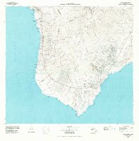 1980 Hawaii County Sheet 31984 Print · USGSThe Big Island's South Kona and Kau districts are captured here in the early 1980s, from the historic coffee lands to the southern tip. Researchers can trace the layout of coastal villages and sugar-era settlements like Milolii, Pahala, and the City of Refuge Nat Historical Pk.
 - 1982 Map of Honaunau
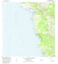 1982 Honaunau1982 Print · USGSThe South Kona coast in the early eighties remains a landscape of sacred Hawaiian sites and coffee cultivation. Trace the boundaries of the Puuhonua O Honaunau National Historical Park and locate historic markers like the Cooks Monument and Napoopoo Lighthouse.2 unique versions available
 - 1996 Map of Honaunau, 1998 Print
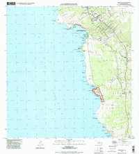 1996 Honaunau1998 Print · USGSThe South Kona coast is documented here in the mid-nineties, showing the intersection of historic Hawaiian sites and modern settlements. Researchers can trace land divisions and find landmarks like Cooks Monument, Honaunau, and several Cem locations.
 - 2013 Map of Honaunau, 2013 Print
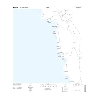 2013 Honaunau2013 Print · USGSCoastal South Kona is captured here in the early twenty-first century, showing the intersection of ancient Hawaiian sacred sites and modern coffee country. Researchers can trace the layout of Pu'uhonua O Honaunau National Historical Park or locate landmarks like Cooks Monument and Hikiau Heiau.
 - 2017 Map of Honaunau, 2017 Print
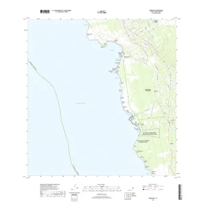 2017 Honaunau2017 Print · USGSThe Kona coast in the early twenty-first century retains deep ties to its ancestral sites and agricultural roots. Researchers can trace historical routes along Old Government Rd and locate landmarks from Pu'uhonua O Hōnaunau National Historical Park to Captain Cook.
 - 2024 Map of Honaunau, 2024 Print
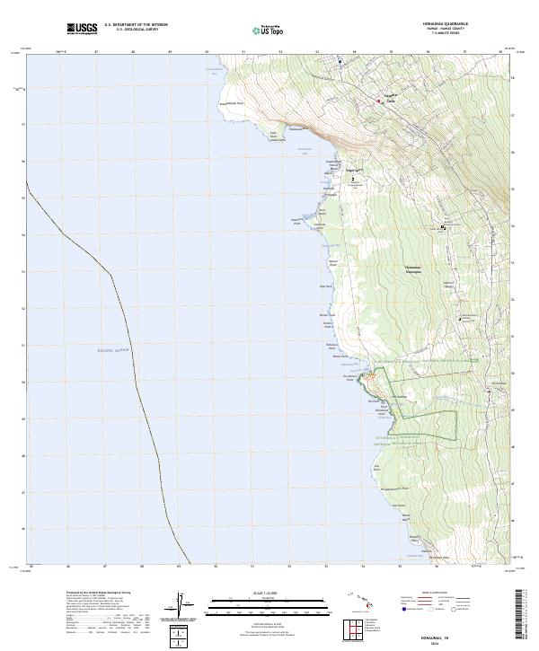 2024 Honaunau2024 Print · USGSThe Kona coast at the start of the 2020s shows a landscape of deep cultural significance and complex topography. Researchers can trace historic family cemeteries and sacred sites like Pu‘uhonua O Hōnaunau National Historical Park and Saint Benedicts Catholic Church Cem.
End of results
Showing maps 1-12 of 12
Frequently asked questions
- What are the different types of historical maps available for Captain Cook?
- What is the oldest map of Captain Cook?
- Where can I purchase historical maps of Captain Cook for my home or office?
- Where can I download high-res historical maps of Captain Cook?
- Are there historical topographic maps available for Captain Cook?
- Is there historical aerial imagery available for Captain Cook?
- Where are historical maps of Captain Cook sourced from?