Old Maps of Wainiha, Hawaii for Genealogy
Trace your family roots with 8 historic maps of Wainiha. These high-res maps reveal old neighborhoods, homesites, landmarks, and streets — helping you uncover where your ancestors lived and how the area evolved over time.
- Explore historic neighborhoods: Identify where your relatives may have lived in the 1800s or 1900s.
- Compare maps over time: Trace the changes in streets, buildings, and landmarks for multi-generational research.
- Perfect for genealogy & ancestry research: Used by family historians and researchers to map out lineage and migration.
These maps are an incredible resource for exploring your personal connection to Wainiha's past.
Wainiha, HI maps
(8)- 1954 Map of Kauai
 1954 Kauai1954 Print · USGSKauai and Niihau are shown during a period of transition in the early fifties as plantation-era infrastructure began to change. Researchers can trace the Kilauea Sugar Plantation Railroad, the Anahola Settlement, and remote sites on Niihau like Puuwai.
 - 1965 Map of Haena, 1967 Print
 1965 Haena1967 Print · USGSKauai's northern coast and deep interior forests are captured here in the mid-sixties, from the Kalalau Trail to the high Kokee State Park. Trace cultural landmarks like Ka Ulu a Paoa Heiau and the hidden Waikapalae Wet Cave.2 unique versions available
 - 1967 Map of Kauai
 1967 Kauai1967 Print · USGSThe Garden Isle and Niihau are shown here in the mid-sixties, capturing the island's transition from plantation roots to a more modern infrastructure. Genealogists can trace family connections in Moloaa Settlement or find coastal landmarks like Nonopapa and Kilauea Point Light.
 - 1970 Map of Kauai, 1974 Print
 1970 Kauai1974 Print · USGSThe islands of Kauai and Niihau are shown during the early 1970s, capturing the balance between military expansion and preserved wilderness. Researchers can trace the layout of Niihau's elusive villages like Puwai or explore Kauai's industrial landscape at Koloa Mill and Port Allen.2 unique versions available
 - 1983 Map of Haena
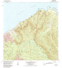 1983 Haena1983 Print · USGSThe North Shore of Kauai is captured here in the early eighties, from the coastal caves of Haena to the high ALAKAI SWAMP. Trace cultural landmarks like the Ka Ulu a Paoa Heiau and the remote Kokee Air Force Station.
 - 2013 Map of Haena, 2013 Print
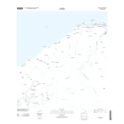 2013 Haena2013 Print · USGSThe north shore of Kauai is captured here in the early 2010s, showing the intersection of coastal settlements and the remote Napali wilderness. Researchers can trace land features from the Kaulupā'oa Heiau to interior landmarks like Camp Sloggett and Waineke Swamp.
 - 2017 Map of Haena, 2017 Print
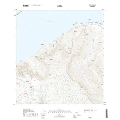 2017 Haena2017 Print · USGSThe North Shore of Kaua‘i is documented here in the late 2010s, showing the intersection of coastal hamlets and deep valley interiors. Researchers can trace local landmarks from Tunnels Beach to the heights of Kʼnke‘e State Park, passing through Hā‘ena and Wainiha.
 - 2024 Map of Haena, 2024 Print
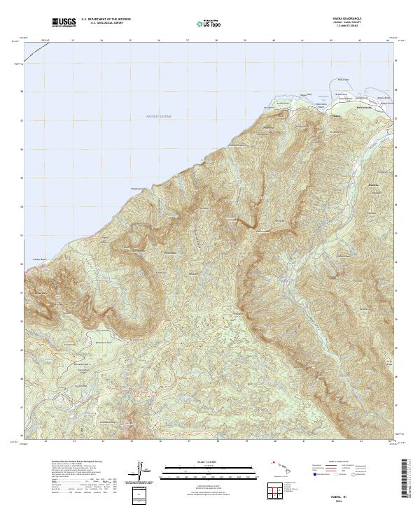 2024 Haena2024 Print · USGSThe northern coast of Kauai in 2024 reveals a landscape of isolated valleys and steep palis. Trace local roads like Wainiha Powerhouse Rd and find coastal landmarks from Tunnels Beach to the interior heights of Kokee State Park.
End of results
Showing maps 1-8 of 8
Frequently asked questions
- What are the different types of historical maps available for Wainiha?
- What is the oldest map of Wainiha?
- Where can I purchase historical maps of Wainiha for my home or office?
- Where can I download high-res historical maps of Wainiha?
- Are there historical topographic maps available for Wainiha?
- Is there historical aerial imagery available for Wainiha?
- Where are historical maps of Wainiha sourced from?