Old Maps of Kepuhi, Hawaii for Genealogy
Trace your family roots with 8 historic maps of Kepuhi. These high-res maps reveal old neighborhoods, homesites, landmarks, and streets — helping you uncover where your ancestors lived and how the area evolved over time.
- Explore historic neighborhoods: Identify where your relatives may have lived in the 1800s or 1900s.
- Compare maps over time: Trace the changes in streets, buildings, and landmarks for multi-generational research.
- Perfect for genealogy & ancestry research: Used by family historians and researchers to map out lineage and migration.
These maps are an incredible resource for exploring your personal connection to Kepuhi's past.
Kepuhi, HI maps
(8)- 1952 Map of Ilio Point, 1954 Print
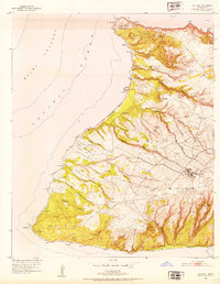 1952 Ilio Point1954 Print · USGSMolokai’s west end is captured in the early fifties, showing a land of deep gulches and significant military reservations. Researchers can locate the Mauna Loa Cem, trace the extensive Papohaku Beach, and identify the Kamakalipo (Site).
 - 1954 Map of Maui
 1954 Maui1954 Print · USGSThe central Hawaiian Islands are shown during the mid-fifties, detailing the agricultural and coastal infrastructure of Maui, Lanai, and Molokai. Genealogists and researchers can trace plantation-era history at Haliimaile Camp, locate old harbors like Kaumalapau Harbor, or explore the early bounds of Haleakala National Park.
 - 1966 Map of Maui
 1966 Maui1966 Print · USGSThe central islands of Maui, Molokai, Lanai, and Kahoolawe are shown in detail during the mid-1960s as plantation life and early tourism coexisted. Genealogists and researchers can trace family locations in old plantation towns like Puunene, the harbor at Lahaina, and Hoolehua on Molokai.
 - 1968 Map of Ilio Point, 1969 Print
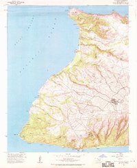 1968 Ilio Point1969 Print · USGSCovers Kepuhi, including Maunaloa, Wahīlauhue, and other nearby areas
 - 1974 Map of Maui
 1974 Maui1974 Print · USGSMid-century Hawaii is captured here through the detailed landscapes of Maui, Molokai, Lanai, and Kahoolawe as they appeared in the 1970s. Researchers can trace the layout of island hubs like Lahaina and Lanai City alongside remote landmarks like Wainapanapa Cave.2 unique versions available
 - 2013 Map of Ilio Point, 2013 Print
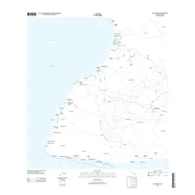 2013 Ilio Point2013 Print · USGSThe western end of Moloka'i in the early twenty-first century shows a landscape of quiet upland settlements and extensive coastline. Researchers can trace the layout of Maunaloa, locate the remote Panda Airport, and explore miles of named shoreline from Kawākiu Beach to Lā'au Point.
 - 2017 Map of Ilio Point, 2017 Print
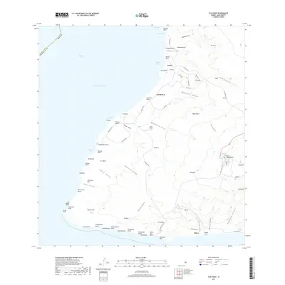 2017 Ilio Point2017 Print · USGSWest Moloka'i at the dawn of the twenty-first century reveals a landscape of rugged gulches and secluded coastlines. Researchers can trace the layout of Maunaloa, find the Maunaloa Cem, and locate remote landmarks like Panda Airport and Lā'au Point.
 - 2024 Map of Ilio Point, 2024 Print
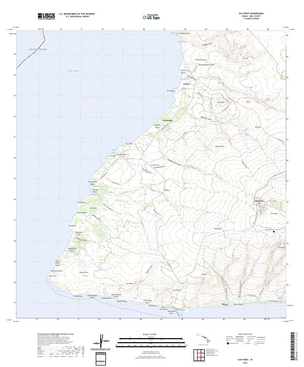 2024 Ilio Point2024 Print · USGSThe western reaches of Moloka'i come into focus in the mid-2020s, showing the intersection of coastal ranching lands and residential outposts. Researchers can trace the layout of Maunaloa and find local landmarks such as Panda Airport and the Maunaloa Cem.
End of results
Showing maps 1-8 of 8
Top cities near Kepuhi
Frequently asked questions
- What are the different types of historical maps available for Kepuhi?
- What is the oldest map of Kepuhi?
- Where can I purchase historical maps of Kepuhi for my home or office?
- Where can I download high-res historical maps of Kepuhi?
- Are there historical topographic maps available for Kepuhi?
- Is there historical aerial imagery available for Kepuhi?
- Where are historical maps of Kepuhi sourced from?