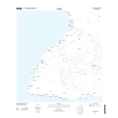
2013 Map of Ilio Point
USGS Topo · Published 2013About this map
Maunaloa sits as a primary upland settlement on this western portion of Moloka'i, overlooking a landscape defined by dramatic gulches and a series of distinct coastal reaches. The map documents the coastal development at Kepuhi, where the Kalua Koi Golf Course meets the Pacific Ocean near Pu'uokaiaka. Further south, the coast is punctuated by numerous named beaches and bays, including the curious Bomb Bay and the wide expanse of Pāpōhaku Beach. The inland terrain is a network of ridges and deep drainage channels like Kawākiu Gulch and Hakina Gulch. This 2013 survey illustrates the modern transportation footprint of the island, from the Mauna Loa Highway to the Panda Airport landing strip, and marks significant landforms at the island's southwestern tip near Lā'au Point.
Find a feature on this map
95 named features on this map. Tap any name to fly to it.
Don’t see what you’re looking for? This feature index may not catch every label — zoom into the map to look around manually.
Map Details
Editions of this 2013 Ilio Point Map
This is the sole edition of this map. No revisions or reprints were ever made.
Other maps of this area

1952 · Molokai Airport
USGS Topo · 1:24,000
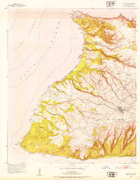
1952 · Ilio Point
USGS Topo · 1:24,000

1954 · Maui
USGS Topo · 1:250,000

1966 · Maui
USGS Topo · 1:250,000
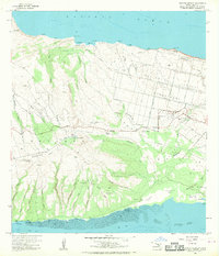
1968 · Molokai Airport
USGS Topo · 1:24,000
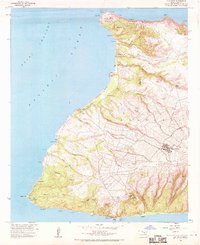
1968 · Ilio Point
USGS Topo · 1:24,000

1974 · Maui
USGS Topo · 1:250,000
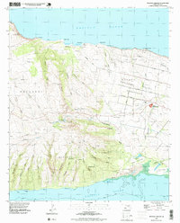
1993 · Molokai Airport
USGS Topo · 1:24,000
2013 · Ilio Point OE N
USGS Topo · 1:24,000
2013 · Ilio Point OE S
USGS Topo · 1:24,000