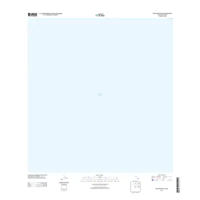
2013 Map of Ilio Point OE S
USGS Topo · Published 2013About this map
The Pacific Ocean dominates this 2013 coastal survey, which depicts the offshore waters just south of Hawaii's Ilio Point. Produced by the U.S. Geological Survey as part of its US Topo series, the map focuses on the maritime environment surrounding the island of Molokai. While the terrestrial features of the coastline are found on adjacent sheets, this specific quadrangle provides a localized look at the bathymetry and hydrographic data of the northern Pacific near the Maui County shoreline at the start of the 2010s.
Find a feature on this map
1 named feature on this map. Tap any name to fly to it.
Don’t see what you’re looking for? This feature index may not catch every label — zoom into the map to look around manually.
Map Details
Editions of this 2013 Ilio Point OE S Map
This is the sole edition of this map. No revisions or reprints were ever made.
Other maps of this area

1954 · Maui
USGS Topo · 1:250,000

1966 · Maui
USGS Topo · 1:250,000

1974 · Maui
USGS Topo · 1:250,000
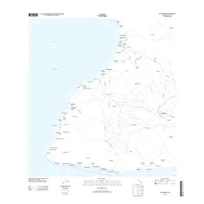
2013 · Ilio Point
USGS Topo · 1:24,000
2013 · Molokai Airport OE S
USGS Topo · 1:24,000
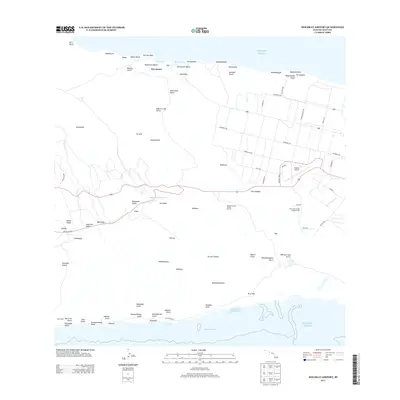
2013 · Molokai Airport
USGS Topo · 1:24,000
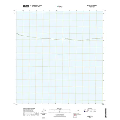
2017 · Ilio Point OE S
USGS Topo · 1:24,000
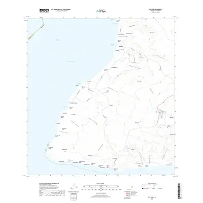
2017 · Ilio Point
USGS Topo · 1:24,000
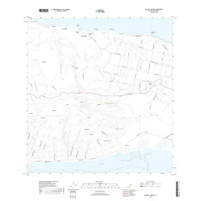
2017 · Molokai Airport
USGS Topo · 1:24,000
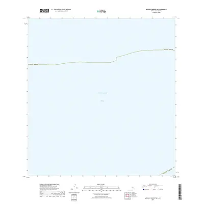
2017 · Molokai Airport OE S
USGS Topo · 1:24,000