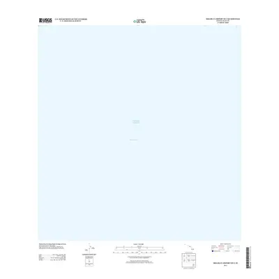
2013 Map of Molokai Airport OE S
USGS Topo · Published 2013About this map
The Kalohi Channel dominates this aquatic chart, representing the vital waterway separating the islands of Molokai and Lanai. This 2013 survey from the U.S. Geological Survey provides a clear view of the marine environment within the Pacific Ocean just south of Molokai. Unlike many topographic sheets that document terrestrial development or land use, this particular quadrangle focuses on the maritime space and seafloor coordinates of Maui County. The absence of landmass on this sheet emphasizes the importance of the channel as a corridor for inter-island transit and fishing in the Hawaiian archipelago.
Find a feature on this map
2 named features on this map. Tap any name to fly to it.
Don’t see what you’re looking for? This feature index may not catch every label — zoom into the map to look around manually.
Map Details
Editions of this 2013 Molokai Airport OE S Map
This is the sole edition of this map. No revisions or reprints were ever made.
Other maps of this area

1923 · Island of Lanai
USGS Topo · 1:31,680

1925 · Island of Lanai
USGS Topo · 1:62,500

1952 · Kaunakakai
USGS Topo · 1:24,000

1954 · Maui
USGS Topo · 1:250,000

1966 · Maui
USGS Topo · 1:250,000

1967 · Kaunakakai
USGS Topo · 1:24,000

1974 · Maui
USGS Topo · 1:250,000
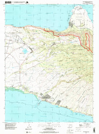
1993 · Kaunakakai
USGS Topo · 1:24,000
2013 · Ilio Point OE S
USGS Topo · 1:24,000
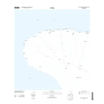
2013 · Lanai North OE W
USGS Topo · 1:24,000