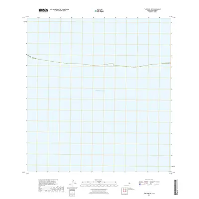
2017 Map of Ilio Point OE S
USGS Topo · Published 2017About this map
The Pacific Ocean dominates this maritime survey off the coast of Molokaʻi, representing a vast expanse of open water within Maui County. Located in the central Pacific, this particular coordinate block is defined almost entirely by the sea, offering a clear view of the deep-water territory and administrative boundaries far from the shoreline. The mapping focuses on the jurisdictional lines of the State of Hawaii, providing an archival record of the ocean expanse that surrounds the Hawaiian Islands. While the landmass of Molokaʻi lies beyond the immediate frame, the chart serves as a critical reference for the hydrographic and geopolitical context of the waters near Ilio Point.
Find a feature on this map
3 named features on this map. Tap any name to fly to it.
Don’t see what you’re looking for? This feature index may not catch every label — zoom into the map to look around manually.
Map Details
Editions of this 2017 Ilio Point OE S Map
This is the sole edition of this map. No revisions or reprints were ever made.
Other maps of this area

1954 · Maui
USGS Topo · 1:250,000

1966 · Maui
USGS Topo · 1:250,000

1974 · Maui
USGS Topo · 1:250,000
2013 · Ilio Point OE S
USGS Topo · 1:24,000
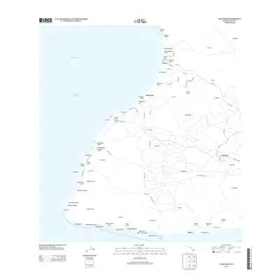
2013 · Ilio Point
USGS Topo · 1:24,000
2013 · Molokai Airport OE S
USGS Topo · 1:24,000
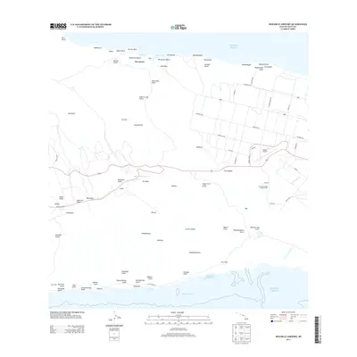
2013 · Molokai Airport
USGS Topo · 1:24,000
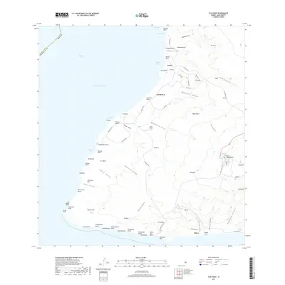
2017 · Ilio Point
USGS Topo · 1:24,000
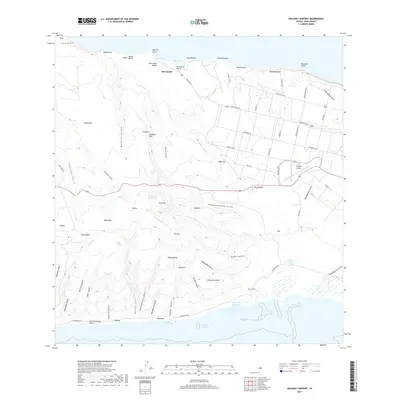
2017 · Molokai Airport
USGS Topo · 1:24,000
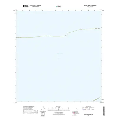
2017 · Molokai Airport OE S
USGS Topo · 1:24,000