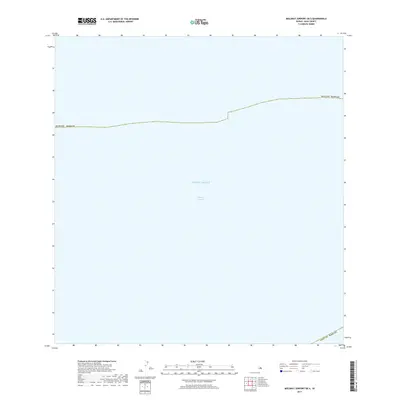
2017 Map of Molokai Airport OE S
USGS Topo · Published 2017About this map
The Kalohi Channel dominates this maritime survey off the coast of Moloka'i in Maui County. Located between the islands of Moloka'i and Lana'i, this stretch of the Pacific Ocean is a vital waterway for local navigation and marine life. Because the map focuses on the open water of the channel, there are no terrestrial landmarks or settlements shown, but it clearly defines the administrative boundary of Maui County as it extends across the sea. The lack of contour data reflects the deep-water nature of the area, making this a specific reference for the maritime boundaries and hydrography of the Hawaiian Islands in the late 2010s.
Find a feature on this map
4 named features on this map. Tap any name to fly to it.
Don’t see what you’re looking for? This feature index may not catch every label — zoom into the map to look around manually.
Map Details
Editions of this 2017 Molokai Airport OE S Map
This is the sole edition of this map. No revisions or reprints were ever made.
Other maps of this area

1923 · Island of Lanai
USGS Topo · 1:31,680

1925 · Island of Lanai
USGS Topo · 1:62,500

1952 · Kaunakakai
USGS Topo · 1:24,000

1954 · Maui
USGS Topo · 1:250,000

1966 · Maui
USGS Topo · 1:250,000

1967 · Kaunakakai
USGS Topo · 1:24,000

1974 · Maui
USGS Topo · 1:250,000
1993 · Kaunakakai
USGS Topo · 1:24,000
2013 · Ilio Point OE S
USGS Topo · 1:24,000
2013 · Lanai North OE W
USGS Topo · 1:24,000