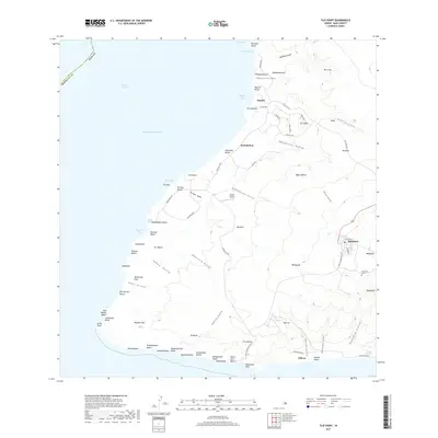
2017 Map of Ilio Point
USGS Topo · Published 2017About this map
Maunaloa sits at the interior edge of this West Moloka'i landscape, serving as a primary point of settlement near the Maunaloa Cem. The terrain is defined by a series of deep drainages such as Wahilauhue Gulch and Kaunalā Gulch that spill toward the Pacific Ocean. Along the western shoreline, numerous named coastal features reveal a high density of small bays and beaches, including Kapukahehu Beach and the distinctive Lā'au Point at the southwestern tip. This 2017 survey details the network of remote roads and trails like Pōhakuloa Rd and the Kulawai Loop that connect the inland heights with the shore. Near the coast at Wahilauhue, the presence of the Panda Airport and the resort-adjacent settlement of Kepuhi illustrates the modern intersections of transport and recreation on the island's leeward side.
Find a feature on this map
86 named features on this map. Tap any name to fly to it.
Don’t see what you’re looking for? This feature index may not catch every label — zoom into the map to look around manually.
Map Details
Editions of this 2017 Ilio Point Map
This is the sole edition of this map. No revisions or reprints were ever made.
Other maps of this area

1952 · Molokai Airport
USGS Topo · 1:24,000
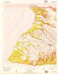
1952 · Ilio Point
USGS Topo · 1:24,000

1954 · Maui
USGS Topo · 1:250,000

1966 · Maui
USGS Topo · 1:250,000
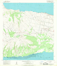
1968 · Molokai Airport
USGS Topo · 1:24,000
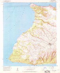
1968 · Ilio Point
USGS Topo · 1:24,000

1974 · Maui
USGS Topo · 1:250,000
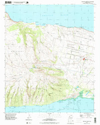
1993 · Molokai Airport
USGS Topo · 1:24,000
2013 · Ilio Point OE N
USGS Topo · 1:24,000
2013 · Ilio Point OE S
USGS Topo · 1:24,000