Old Maps of Saint Maries, Idaho for Academic Research
Study the evolution of Saint Maries with 11 high-resolution historic maps. Whether you're teaching, researching, or modeling changes in land use, these maps provide essential visual documentation of urban, environmental, and geographic change.
- Analyze long-term change: Track patterns in development, transportation, and natural features.
- Ideal for environmental or urban studies: Support academic projects with primary historical map data.
- Use in the classroom or lab: Educators and researchers rely on these maps to bring historical context to life.
These maps are a powerful tool for teaching, research, and visualizing how Saint Maries has changed over the decades.
Saint Maries, ID maps
(11)- 1955 Map of Spokane, 1965 Print
 1955 Spokane1965 Print · USGSInland Empire life in the fifties and sixties centers on the growth of Spokane and the heavy mining industry of northern Idaho. Trace mid-century landmarks like Fairchild Air Force Base, the Bunker Hill Mine, and early campuses such as Gonzaga University.2 unique versions available
 - 1957 Map of St. Maries, 1958 Print
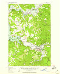 1957 St. Maries1958 Print · USGSThe St. Joe and Coeur d'Alene river valleys come alive in the late fifties, showing a landscape defined by timber, rail, and water. Genealogists can locate St Maries, Harrison, and rural landmarks like the Ramy Hill Guard Sta.3 unique versions available
 - 1958 Map of Spokane
 1958 Spokane1958 Print · USGSThe Inland Empire is shown at a mid-century peak of industrial and military activity, from the rail hubs of Spokane to the deep silver mines of northern Idaho. Researchers can trace the sprawling rail lines of the Union Pacific RR or locate landmarks like Fairchild Air Force Base and the Bunker Hill Smelter & Mine.
 - 1981 Map of St Maries
 1981 St Maries1981 Print · USGSThe timber and rail hub of St. Maries is captured here in the early 1980s as the river-and-rail economy defined the Panhandle. Researchers can trace historic transport corridors including the Union Pacific tracks and remote landings along the St Joe River and Chatcolet Lake.2 unique versions available
 - 1981 Map of St Maries, 1982 Print
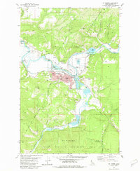 1981 St Maries1982 Print · USGSSt. Maries and the river valleys of Benewah County are captured here in the early eighties, showing the town at a peak of its industrial and rail activity. Genealogists and local historians can locate the St Maries Cemetery, the Mullan Trail Hist Mon, and long-standing neighborhoods like Milltown and Riverdale.
 - 1995 Map of St. Maries, 1998 Print
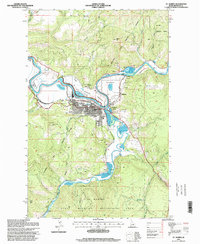 1995 St. Maries1998 Print · USGSSt. Maries and the river forks are captured here in the mid-1990s, showcasing the junction of the timber and rail industries. Trace the path of the Old Grade Railroad past the Sawmill and explore landmarks like Swan Lake and St Maries Peak.
 - 2011 Map of Saint Maries, 2011 Print
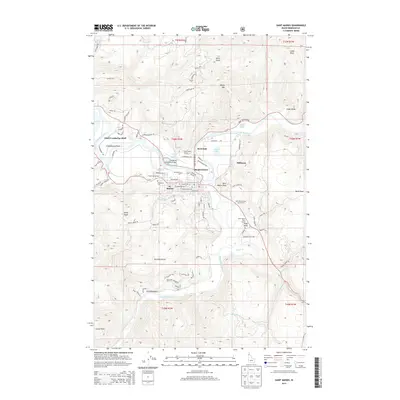
 2011 Saint Maries2011 Print · USGSCovers Saint Maries, including Milltown, Chat'u'washa'lqs Bluff, and other nearby areas
 - 2013 Map of Saint Maries, 2013 Print
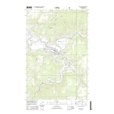
 2013 Saint Maries2013 Print · USGSCovers Saint Maries, including Milltown, Chat'u'washa'lqs Bluff, and other nearby areas
 - 2017 Map of Saint Maries, 2017 Print
 2017 Saint Maries2017 Print · USGSCovers Saint Maries, including Milltown, Chat'u'washa'lqs Bluff, and other nearby areas
 - 2020 Map of Saint Maries, 2020 Print
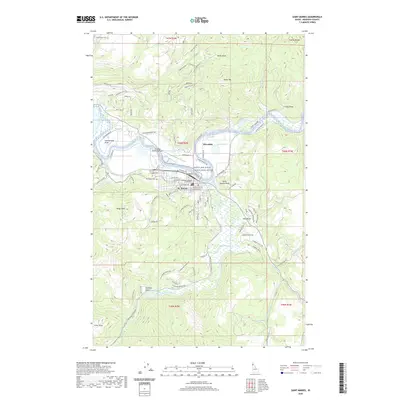 2020 Saint Maries2020 Print · USGSCovers Saint Maries, including Milltown, Chat'u'washa'lqs Bluff, and other nearby areas
 - 2024 Map of Saint Maries, 2024 Print
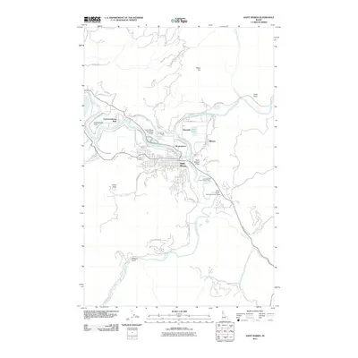
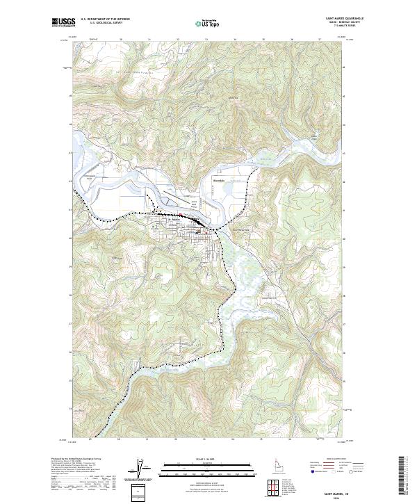 2024 Saint Maries2024 Print · USGSThe riverfront settlement of St. Maries is captured here in the twenty-first century, where the valley floor meets the steep slopes of the St. Joe Mountains. Researchers can trace local landmarks like the Benewah County Courthouse, Woodlawn Cem, and the path of the Saint Joe River.
End of results
Showing maps 1-11 of 11
Top cities near Saint Maries
Frequently asked questions
- What are the different types of historical maps available for Saint Maries?
- What is the oldest map of Saint Maries?
- Where can I purchase historical maps of Saint Maries for my home or office?
- Where can I download high-res historical maps of Saint Maries?
- Are there historical topographic maps available for Saint Maries?
- Is there historical aerial imagery available for Saint Maries?
- Where are historical maps of Saint Maries sourced from?