1900s (20th Century) Maps of Hailey, Idaho
Explore 8 historic maps of Hailey from the 1900s (20th Century). These maps offer a rare glimpse into what life looked like during the 1900s — showing old roads, neighborhoods, homes, and landmarks that have changed or disappeared over time.
Whether you're researching your family's past, planning a metal detecting trip, or studying how Hailey's landscape evolved across the 1900s, these high-resolution maps are a powerful tool for exploring the history of this region.
- Focus on a specific era: All maps on this page are from the 1900s, giving you a focused view of this time period.
- See what’s changed: Compare century-old streets, trails, and buildings to today's modern landscape using overlays and satellite layers.
- Research with precision: Use these maps for genealogy, historical research, land use analysis, or educational projects.
- View, download, or print: Maps are fully viewable online in high resolution, and can be downloaded or printed for your own records.
Start exploring Hailey's history through authentic maps from the 1900s. This is your window into the past.
Hailey, ID maps
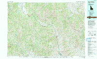
(8)- 1955 Map of Hailey, 1968 Print
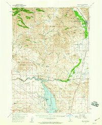
 1955 Hailey1968 Print · USGSCentral Idaho in the mid-fifties reveals a landscape transitioning from deep-rooted silver mining to a burgeoning outdoor economy. Researchers can trace the legacy of the Union Pacific line, the remote Triumph Mine, and original airfield layouts at Mountain Home Air Force Base.4 unique versions available
 - 1957 Map of Bellevue, 1959 Print
 1957 Bellevue1959 Print · USGSThe Wood River Valley and Bennett Hills are captured here in the late fifties, showing a landscape defined by mining, ranching, and the Union Pacific rail line. Genealogists can trace family-named sites like Stewart Ranch, find the Timmerman Cem, or locate the historic Apache Mill.2 unique versions available
 - 1957 Map of Bellevue, 1973 Print
 1957 Bellevue1973 Print · USGSBellevue and the surrounding Wood River Valley are captured here in the late fifties, showcasing the area's transition from a mining hub to a ranching landscape. Researchers can trace old mine sites like the Minnie Moore, locate the Timmerman Cem, or identify historic crossings such as Stanton Crossing.
 - 1959 Map of Hailey
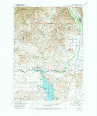
 1959 Hailey1959 Print · USGSThe Sawtooth range and high desert plains of Southern Idaho are captured here during a period of mining and military growth. Genealogists and historians can locate mining sites like Triumph Mine, early settlements such as Idaho City, and the Mountain Home Air Force Base.2 unique versions available
 - 1962 Map of Hailey
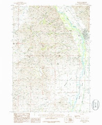
 1962 Hailey1962 Print · USGSCentral Idaho in the early sixties showcases a landscape of high-altitude ranching and mining at the foot of the Sawtooth Mountains. Genealogists and historians can trace the rail-and-river economy through the Union Pacific Railroad corridor and explore old mining sites like the Triumph Mine or Silver Star Queens Mine.
 - 1967 Map of Hailey, 1971 Print
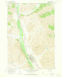 1967 Hailey1971 Print · USGSHailey and the Wood River Valley were centers of aviation and mining in the late sixties. Genealogists and historians can trace the Union Pacific corridor through Gimlet or locate the city Cem and Friedman Memorial Airport.2 unique versions available
 - 1986 Map of Bellevue
 1986 Bellevue1986 Print · USGSBellevue and the Wood River Valley are captured here in the mid-1980s, showcasing a landscape shaped by both ranching and mountain mining. Researchers can trace the legacy of local extraction through Minnie Moore Gulch, find the old settlement of Broadford, or locate family-named features like Mabelle Hill.2 unique versions available
 - 1992 Map of Sun Valley, 1993 Print
 1992 Sun Valley1993 Print · USGSThe Wood River Valley and surrounding high peaks are documented here in the early nineties, showing the region's shift toward a recreation economy. Researchers can trace the legacy of mining and mountain development at the Triumph Mine, Sun Valley, and Alturas Lake.2 unique versions available
End of results
Showing maps 1-8 of 8
Top cities near Hailey
Frequently asked questions
- What are the different types of historical maps available for Hailey?
- What is the oldest map of Hailey?
- Where can I purchase historical maps of Hailey for my home or office?
- Where can I download high-res historical maps of Hailey?
- Are there historical topographic maps available for Hailey?
- Is there historical aerial imagery available for Hailey?
- Where are historical maps of Hailey sourced from?