Old Maps of Hailey, Idaho for Genealogy
Trace your family roots with 20 historic maps of Hailey. These high-res maps reveal old neighborhoods, homesites, landmarks, and streets — helping you uncover where your ancestors lived and how the area evolved over time.
- Explore historic neighborhoods: Identify where your relatives may have lived in the 1800s or 1900s.
- Compare maps over time: Trace the changes in streets, buildings, and landmarks for multi-generational research.
- Perfect for genealogy & ancestry research: Used by family historians and researchers to map out lineage and migration.
These maps are an incredible resource for exploring your personal connection to Hailey's past.
Hailey, ID maps
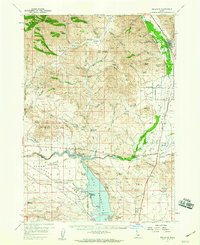
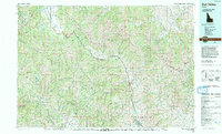
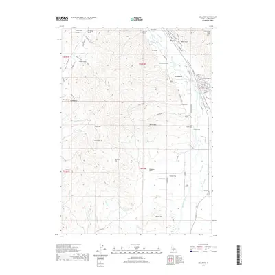
(20)- 1895 Map of Hailey, 1954 Print
 1895 Hailey1954 Print · USGSThe Wood River Valley was coming into its own in the 1890s as a hub for rail transport and early tourism. Researchers can trace the early path of the Union Pacific R R as it connected Hailey to Ketchum, passing through Gimlet and several remote hot springs like Guyer.2 unique versions available
 - 1897 Map of Hailey
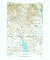
 1897 Hailey1897 Print · USGSCentral Idaho in the late nineteenth century was a land of high peaks and river-valley railroads. Trace the early layout of Hailey and Ketchum, the path of the Union Pacific, and landmarks like Guyer Hot Springs.3 unique versions available
 - 1955 Map of Hailey, 1968 Print
 1955 Hailey1968 Print · USGSCentral Idaho in the mid-fifties reveals a landscape transitioning from deep-rooted silver mining to a burgeoning outdoor economy. Researchers can trace the legacy of the Union Pacific line, the remote Triumph Mine, and original airfield layouts at Mountain Home Air Force Base.4 unique versions available
 - 1957 Map of Bellevue, 1959 Print
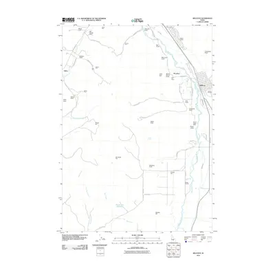
 1957 Bellevue1959 Print · USGSThe Wood River Valley and Bennett Hills are captured here in the late fifties, showing a landscape defined by mining, ranching, and the Union Pacific rail line. Genealogists can trace family-named sites like Stewart Ranch, find the Timmerman Cem, or locate the historic Apache Mill.2 unique versions available
 - 1957 Map of Bellevue, 1973 Print
 1957 Bellevue1973 Print · USGSBellevue and the surrounding Wood River Valley are captured here in the late fifties, showcasing the area's transition from a mining hub to a ranching landscape. Researchers can trace old mine sites like the Minnie Moore, locate the Timmerman Cem, or identify historic crossings such as Stanton Crossing.
 - 1959 Map of Hailey
 1959 Hailey1959 Print · USGSThe Sawtooth range and high desert plains of Southern Idaho are captured here during a period of mining and military growth. Genealogists and historians can locate mining sites like Triumph Mine, early settlements such as Idaho City, and the Mountain Home Air Force Base.2 unique versions available
 - 1962 Map of Hailey
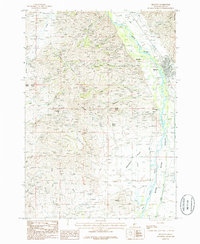
 1962 Hailey1962 Print · USGSCentral Idaho in the early sixties showcases a landscape of high-altitude ranching and mining at the foot of the Sawtooth Mountains. Genealogists and historians can trace the rail-and-river economy through the Union Pacific Railroad corridor and explore old mining sites like the Triumph Mine or Silver Star Queens Mine.
 - 1967 Map of Hailey, 1971 Print
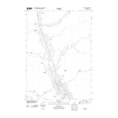
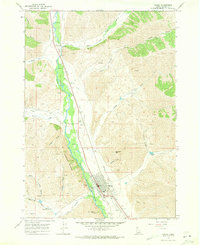 1967 Hailey1971 Print · USGSHailey and the Wood River Valley were centers of aviation and mining in the late sixties. Genealogists and historians can trace the Union Pacific corridor through Gimlet or locate the city Cem and Friedman Memorial Airport.2 unique versions available
 - 1986 Map of Bellevue
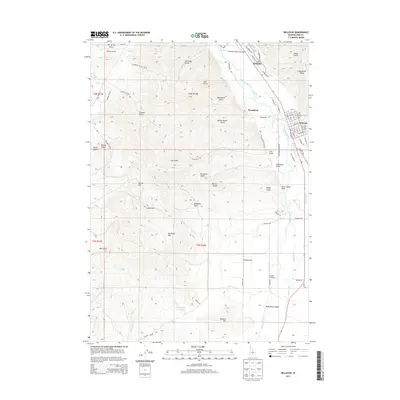
 1986 Bellevue1986 Print · USGSBellevue and the Wood River Valley are captured here in the mid-1980s, showcasing a landscape shaped by both ranching and mountain mining. Researchers can trace the legacy of local extraction through Minnie Moore Gulch, find the old settlement of Broadford, or locate family-named features like Mabelle Hill.2 unique versions available
 - 1992 Map of Sun Valley, 1993 Print
 1992 Sun Valley1993 Print · USGSThe Wood River Valley and surrounding high peaks are documented here in the early nineties, showing the region's shift toward a recreation economy. Researchers can trace the legacy of mining and mountain development at the Triumph Mine, Sun Valley, and Alturas Lake.2 unique versions available
 - 2010 Map of Bellevue, 2010 Print
 2010 Bellevue2010 Print · USGSCovers Hailey, including Bellevue, Blaine County, and other nearby areas
 - 2010 Map of Hailey, 2010 Print
 2010 Hailey2010 Print · USGSCovers Hailey, including Blaine County, United States, and other nearby areas
 - 2013 Map of Bellevue, 2013 Print
 2013 Bellevue2013 Print · USGSCovers Hailey, including Bellevue, Blaine County, and other nearby areas
 - 2013 Map of Hailey, 2013 Print
 2013 Hailey2013 Print · USGSCovers Hailey, including Blaine County, United States, and other nearby areas
 - 2017 Map of Hailey, 2017 Print
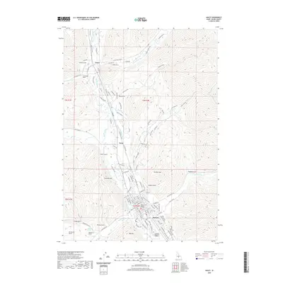
 2017 Hailey2017 Print · USGSCovers Hailey, including Blaine County, United States, and other nearby areas
 - 2017 Map of Bellevue, 2017 Print
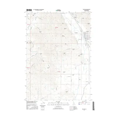 2017 Bellevue2017 Print · USGSCovers Hailey, including Bellevue, Blaine County, and other nearby areas
 - 2020 Map of Hailey, 2020 Print
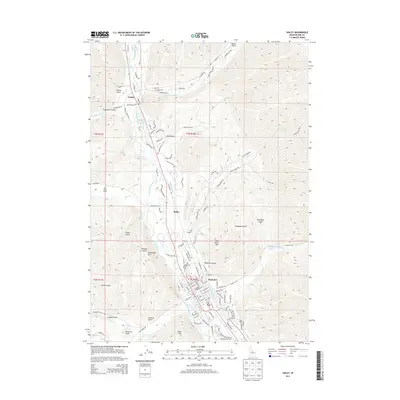
 2020 Hailey2020 Print · USGSCovers Hailey, including Blaine County, United States, and other nearby areas
 - 2020 Map of Bellevue, 2020 Print
 2020 Bellevue2020 Print · USGSCovers Hailey, including Bellevue, Blaine County, and other nearby areas
 - 2024 Map of Hailey, 2024 Print
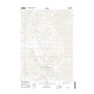
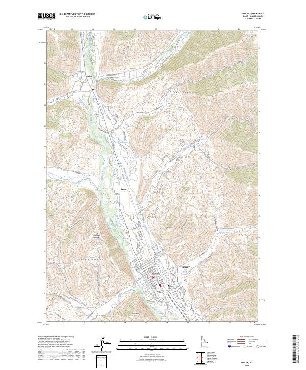 2024 Hailey2024 Print · USGSThe Wood River Valley at the modern day is a landscape of high-mountain peaks and vital irrigation. Researchers can trace local development through the Blaine County Judicial Building, Hailey Cem, and landmarks like Halley Hot Springs.
 - 2024 Map of Bellevue, 2024 Print
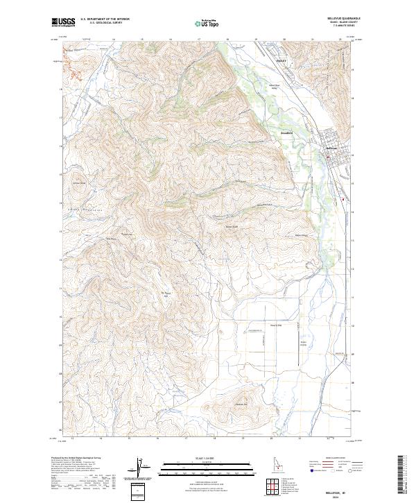 2024 Bellevue2024 Print · USGSThe Big Wood River corridor near Hailey and Bellevue is captured here in its modern mountain-valley context. Researchers can trace the extensive irrigation networks of the District Canal or locate local landmarks like the Sluder Airstrip and Poverty Flat Reservoir.
End of results
Showing maps 1-20 of 20
Top cities near Hailey
Frequently asked questions
- What are the different types of historical maps available for Hailey?
- What is the oldest map of Hailey?
- Where can I purchase historical maps of Hailey for my home or office?
- Where can I download high-res historical maps of Hailey?
- Are there historical topographic maps available for Hailey?
- Is there historical aerial imagery available for Hailey?
- Where are historical maps of Hailey sourced from?