Old Maps of Dehlin, Idaho for Academic Research
Study the evolution of Dehlin with 12 high-resolution historic maps. Whether you're teaching, researching, or modeling changes in land use, these maps provide essential visual documentation of urban, environmental, and geographic change.
- Analyze long-term change: Track patterns in development, transportation, and natural features.
- Ideal for environmental or urban studies: Support academic projects with primary historical map data.
- Use in the classroom or lab: Educators and researchers rely on these maps to bring historical context to life.
These maps are a powerful tool for teaching, research, and visualizing how Dehlin has changed over the decades.
Dehlin, ID maps
(12)- 1924 Map of Hell Creek, 1958 Print
 1924 Hell Creek1958 Print · USGSSoutheast Idaho's high country is captured here during the mid-twenties, showcasing the rural life of Bonneville and Bingham Counties. Genealogists and local historians can trace family-named landmarks like Skelly Hill, the remote Dehlin School, and the early Hell Creek Ranger Station.2 unique versions available
 - 1926 Map of Hell Creek
 1926 Hell Creek1926 Print · USGSThe ranching and forest lands of eastern Idaho are captured here in the mid-1920s. Researchers can trace the rural infrastructure of the day, from the Dehlin School to the remote Fall Creek Ranger Sta and the waters of Tex Creek.2 unique versions available
 - 1955 Map of Driggs, 1967 Print
 1955 Driggs1967 Print · USGSEastern Idaho and Western Wyoming appear at a mid-century crossroads as the river valleys were fully settled and the high peaks protected. Genealogists and researchers can trace the rail towns of Rexburg and Driggs or follow the Snake River from Irwin to the Palisades Reservoir.3 unique versions available
 - 1958 Map of Driggs
 1958 Driggs1958 Print · USGSThe high Teton peaks and Snake River valleys are captured here in the mid-fifties, showing the region's agricultural and wilderness boundaries. Researchers can trace the Union Pacific rail corridor through Rexburg or locate early settlements like Clementsville and Tetonia.2 unique versions available
 - 1962 Map of Driggs
 1962 Driggs1962 Print · USGSThe Idaho-Wyoming borderlands are captured here in the early sixties, showing the peaks and valleys of the northern Rockies. Genealogists and historians can trace rail lines like the Union Pacific RR and isolated outposts like the National Elk Refuge or the Fort Hall Indian Reservation.
 - 1981 Map of Lone Pine Ridge
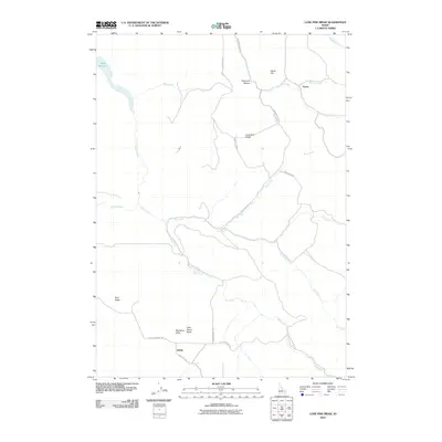
 1981 Lone Pine Ridge1981 Print · USGSBonneville County high country is shown in the early eighties as a landscape of dramatic buttes and winding creek forks. Local historians can trace the remote Dehlin (Site) or locate landmarks like Big Horse Butte and Lone Pine Ridge.
 - 1986 Map of Palisades, 1987 Print
 1986 Palisades1987 Print · USGSThe Idaho-Wyoming borderlands are captured here in the mid-1980s, where the high ridges of the Caribou Range meet the vital Snake River corridor. Researchers can trace the water-management history of Palisades Reservoir or locate the Monte Cristo Mine and Evergreen Mine near the Caribou Basin.2 unique versions available
 - 2010 Map of Lone Pine Ridge, 2010 Print
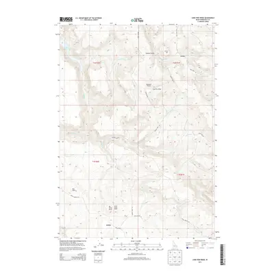
 2010 Lone Pine Ridge2010 Print · USGSCovers Dehlin, including Guyaz, Bonneville County, and other nearby areas
 - 2013 Map of Lone Pine Ridge, 2013 Print
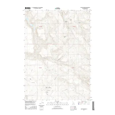
 2013 Lone Pine Ridge2013 Print · USGSCovers Dehlin, including Guyaz, Bonneville County, and other nearby areas
 - 2017 Map of Lone Pine Ridge, 2017 Print
 2017 Lone Pine Ridge2017 Print · USGSCovers Dehlin, including Guyaz, Bonneville County, and other nearby areas
 - 2020 Map of Lone Pine Ridge, 2020 Print
 2020 Lone Pine Ridge2020 Print · USGSCovers Dehlin, including Guyaz, Bonneville County, and other nearby areas
 - 2024 Map of Lone Pine Ridge, 2024 Print
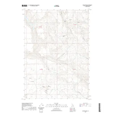
 2024 Lone Pine Ridge2024 Print · USGSThe high ridges of Bonneville County meet the waters of the Ririe Reservoir in this modern survey of eastern Idaho. Local historians can trace routes through the hills via Kapps Crossing Rd and locate landmarks like Big Horse Butte and Dehlin.
End of results
Showing maps 1-12 of 12
Top cities near Dehlin
Frequently asked questions
- What are the different types of historical maps available for Dehlin?
- What is the oldest map of Dehlin?
- Where can I purchase historical maps of Dehlin for my home or office?
- Where can I download high-res historical maps of Dehlin?
- Are there historical topographic maps available for Dehlin?
- Is there historical aerial imagery available for Dehlin?
- Where are historical maps of Dehlin sourced from?