Old Maps of Irwin, Idaho for Academic Research
Study the evolution of Irwin with 25 high-resolution historic maps. Whether you're teaching, researching, or modeling changes in land use, these maps provide essential visual documentation of urban, environmental, and geographic change.
- Analyze long-term change: Track patterns in development, transportation, and natural features.
- Ideal for environmental or urban studies: Support academic projects with primary historical map data.
- Use in the classroom or lab: Educators and researchers rely on these maps to bring historical context to life.
These maps are a powerful tool for teaching, research, and visualizing how Irwin has changed over the decades.
Irwin, ID maps
(25)- 1932 Map of Irwin
 1932 Irwin1932 Print · USGSThe Snake River corridor and the high mountain basins of eastern Idaho are captured here in the early 1930s. Researchers can trace early river crossings like Edwards Ferry or find small-community landmarks like Rainy Dale and Pumpkin Center Sch.2 unique versions available
 - 1935 Map of Irwin
 1935 Irwin1935 Print · USGSThe Idaho-Wyoming borderlands are captured here in the 1930s as the river economy and mountain ranching defined the region. Researchers can trace the early road networks and rural institutions from Edwards Ferry to local schools like Fidelity Sch and Blowout Sch.3 unique versions available
 - 1955 Map of Driggs, 1967 Print
 1955 Driggs1967 Print · USGSEastern Idaho and Western Wyoming appear at a mid-century crossroads as the river valleys were fully settled and the high peaks protected. Genealogists and researchers can trace the rail towns of Rexburg and Driggs or follow the Snake River from Irwin to the Palisades Reservoir.3 unique versions available
 - 1958 Map of Driggs
 1958 Driggs1958 Print · USGSThe high Teton peaks and Snake River valleys are captured here in the mid-fifties, showing the region's agricultural and wilderness boundaries. Researchers can trace the Union Pacific rail corridor through Rexburg or locate early settlements like Clementsville and Tetonia.2 unique versions available
 - 1962 Map of Driggs
 1962 Driggs1962 Print · USGSThe Idaho-Wyoming borderlands are captured here in the early sixties, showing the peaks and valleys of the northern Rockies. Genealogists and historians can trace rail lines like the Union Pacific RR and isolated outposts like the National Elk Refuge or the Fort Hall Indian Reservation.
 - 1966 Map of Thompson Peak, 1969 Print
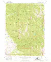 1966 Thompson Peak1969 Print · USGSTarghee National Forest in the mid-1960s reveals a high-country network of pack trails and backcountry campsites. Historians and outdoor enthusiasts can trace the paths to Upper Palisades Lake or locate landmarks like Hunts Corral and Thompson Peak.3 unique versions available
 - 1966 Map of Palisades Dam, 1969 Print
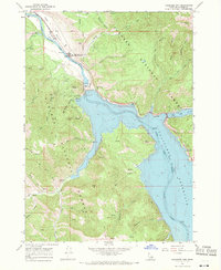 1966 Palisades Dam1969 Print · USGSThe Snake River valley underwent a massive transformation in the mid-1960s following the construction of the Palisades Dam. Researchers can trace the early layout of the Palisades Townsite and locate remote landmarks like the Calamity Guard Sta and Van Point.3 unique versions available
 - 1966 Map of Swan Valley, 1969 Print
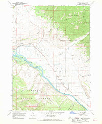 1966 Swan Valley1969 Print · USGSSwan Valley and Irwin sit along the river-carved plains of the Snake River in the late sixties, surrounded by national forest lands. Researchers can trace the layout of early rural life through features like the Swan Valley Cemetery, Chapel in the Valley, and the nearby Ranger Station.3 unique versions available
 - 1986 Map of Palisades, 1987 Print
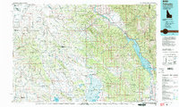 1986 Palisades1987 Print · USGSThe Idaho-Wyoming borderlands are captured here in the mid-1980s, where the high ridges of the Caribou Range meet the vital Snake River corridor. Researchers can trace the water-management history of Palisades Reservoir or locate the Monte Cristo Mine and Evergreen Mine near the Caribou Basin.2 unique versions available
 - 2011 Map of Swan Valley, 2011 Print
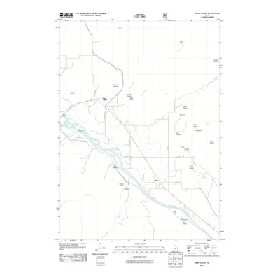 2011 Swan Valley2011 Print · USGSThe communities of Swan Valley and Irwin sit along the banks of the Snake River in the early twenty-first century. Researchers can trace local landmarks and family sites including the Swan Valley Cemetery, the Falls Campground, and the branching waters of Rainey Creek.
 - 2011 Map of Thompson Peak, 2011 Print
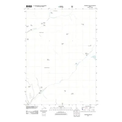 2011 Thompson Peak2011 Print · USGSThe Bonneville County highlands appear in detail during the early twenty-first century, showing a landscape defined by canyons and peaks. Researchers can trace the drainage of Rainey Creek, locate the Palisades Lake Lodge, and explore landmarks like Baldy Mountain.
 - 2011 Map of Palisades Dam, 2011 Print
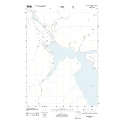 2011 Palisades Dam2011 Print · USGSThe Idaho backcountry near the Wyoming border is defined by the massive impoundment of the Snake River in the early twenty-first century. Genealogists and historians can trace the geography around Palisades, the engineering of Palisades Dam, and the historic crossing at Edwards Ferry.
 - 2013 Map of Palisades Dam, 2013 Print
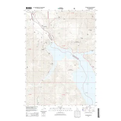 2013 Palisades Dam2013 Print · USGSSwan Valley and the Snake River corridor are captured here in the early twenty-first century as the Palisades Reservoir dominates the landscape. Local historians can trace landmarks like Camp Little Lemhi, Edwards Ferry, and the canyon-rimmed heights of Calamity Point.
 - 2013 Map of Thompson Peak, 2013 Print
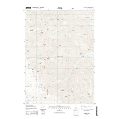 2013 Thompson Peak2013 Print · USGSThe Bonneville County backcountry of eastern Idaho is mapped in high detail here during the early twenty-first century. Outdoorsmen and local historians can trace the paths to Lower Palisades Lake, locate the Palisades Lake Lodge, and survey the high ridges around Thompson Peak.
 - 2013 Map of Swan Valley, 2013 Print
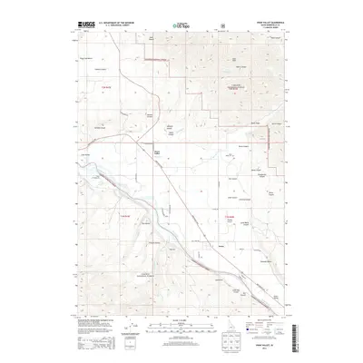 2013 Swan Valley2013 Print · USGSThe river-bottom communities of Swan Valley and Irwin are depicted in the early 2010s as they are surrounded by national forest land. Genealogists and local historians can locate the Swan Valley Cem, Huskey Airport, and family-named landmarks like Stoltenberg Ln.
 - 2017 Map of Thompson Peak, 2017 Print
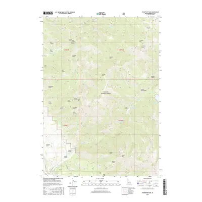 2017 Thompson Peak2017 Print · USGSThe settlement of Irwin and the high peaks of the Snake River Range are captured here during the late twenty-teens. Researchers can trace the rugged geography of the Targhee National Forest to find Upper Palisades Lake, Palisades Bench, and Thompson Peak.
 - 2017 Map of Palisades Dam, 2017 Print
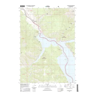 2017 Palisades Dam2017 Print · USGSThe mountain corridors of Bonneville County are centered here on the engineering of the Palisades Dam and its expansive reservoir. Researchers can trace the valley settlements of Irwin and Palisades or explore the backcountry drainages of Sheep Cr and Bear Cr.
 - 2017 Map of Swan Valley, 2017 Print
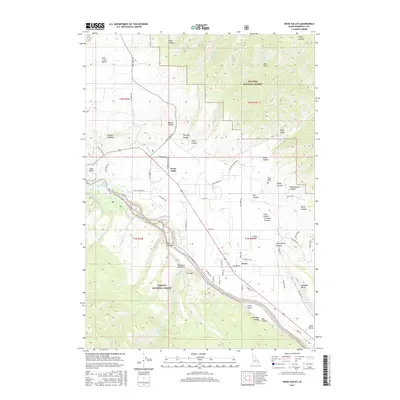 2017 Swan Valley2017 Print · USGSSwan Valley and Irwin sit along the Snake River in the late 2010s, nestled between massive national forests. Genealogists and local historians can trace family ties at the Swan Valley Cem or explore named landmarks like Ross Peak and Flatiron Hollow.
 - 2020 Map of Thompson Peak, 2020 Print
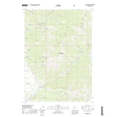 2020 Thompson Peak2020 Print · USGSSwan Valley and Irwin sit at the edge of the Targhee National Forest in this modern era survey of Bonneville County. Trace the valley floor settlements and the network of canyon trails leading to Lower Palisades Lake, Atkinson Peak, and Paradise Basin.
 - 2020 Map of Palisades Dam, 2020 Print
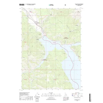 2020 Palisades Dam2020 Print · USGSThe Snake River canyon in eastern Idaho is shown here just as it enters the massive reservoir created by Palisades Dam. Local historians can trace the mountain terrain of Targhee National Forest and locate early settlements like Irwin and Swan Valley.
 - 2020 Map of Swan Valley, 2020 Print
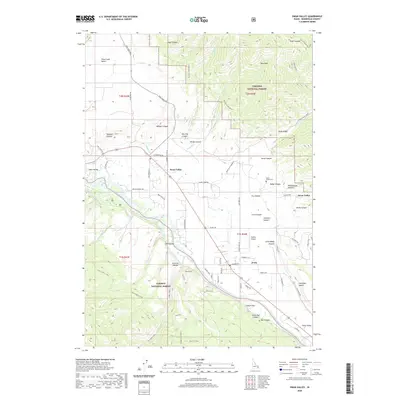 2020 Swan Valley2020 Print · USGSThe riverfront communities of Swan Valley and Irwin are shown in this modern Idaho survey during a period of continued forest management and local development. Genealogists and researchers can locate family sites near Swan Valley Cem or trace rural access along Pine Creek Rd and the banks of the Snake River.
 - 2023 Map of Swan Valley, 2023 Print
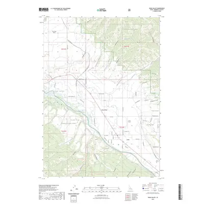 2023 Swan Valley2023 Print · USGSSwan Valley and Irwin sit along the Snake River corridor in this recent survey of the Bonneville County backcountry. Genealogists and local historians can locate the Swan Valley Cemetery, Burton-Irwin Cemetery, and the mountain airstrip at Huskey Airport.
 - 2024 Map of Thompson Peak, 2024 Print
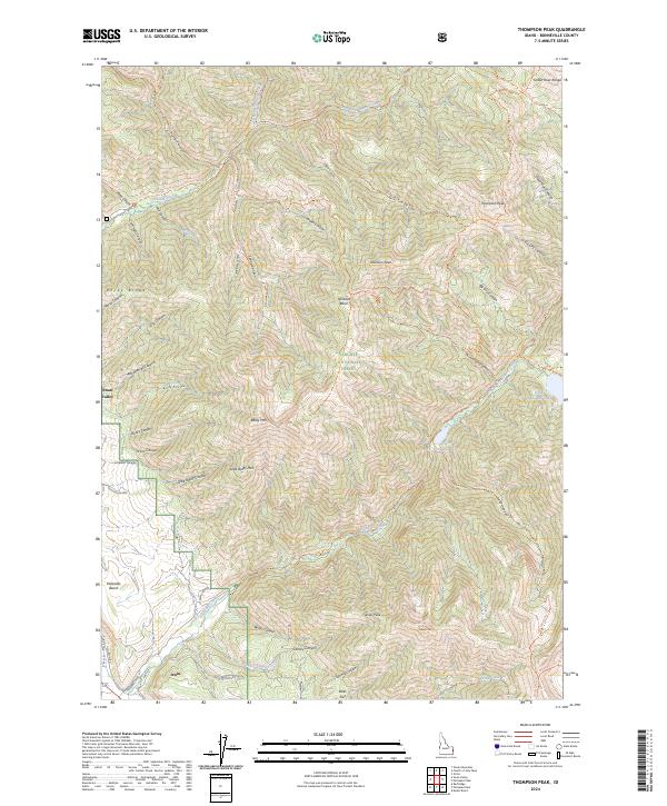 2024 Thompson Peak2024 Print · USGSHigh in the Snake River Range during the early twenty-first century, this Idaho landscape reveals a rugged network of alpine lakes and mountain trails. You can trace the paths to Lower Palisades Lake, locate the peaks of Atkinson Peak, and explore the canyon floor near Irwin.
 - 2024 Map of Swan Valley, 2024 Print
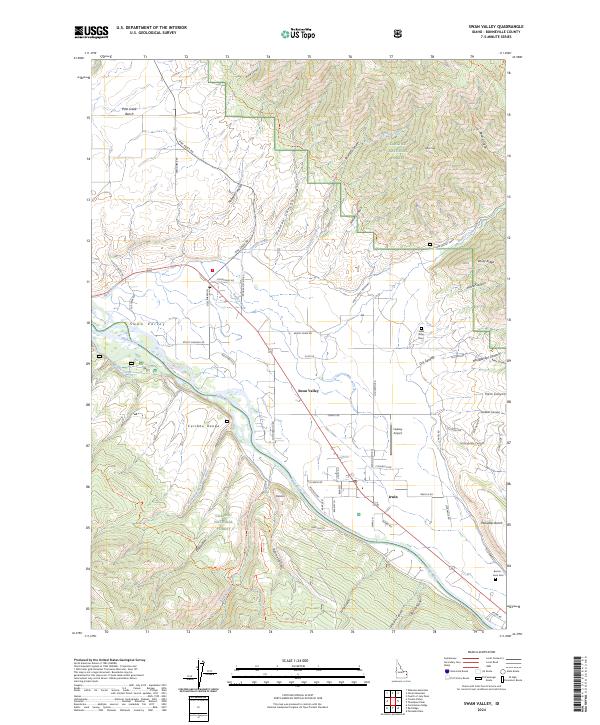 2024 Swan Valley2024 Print · USGSSwan Valley and Irwin sit along the Snake River in the mid-2020s, showing a landscape defined by mountain forests and riverfront settlements. Researchers can locate family sites at the Swan Valley Cem or Burton-Irwin Cem and trace old routes through Oakden Canyon.
 - 2024 Map of Palisades Dam, 2024 Print
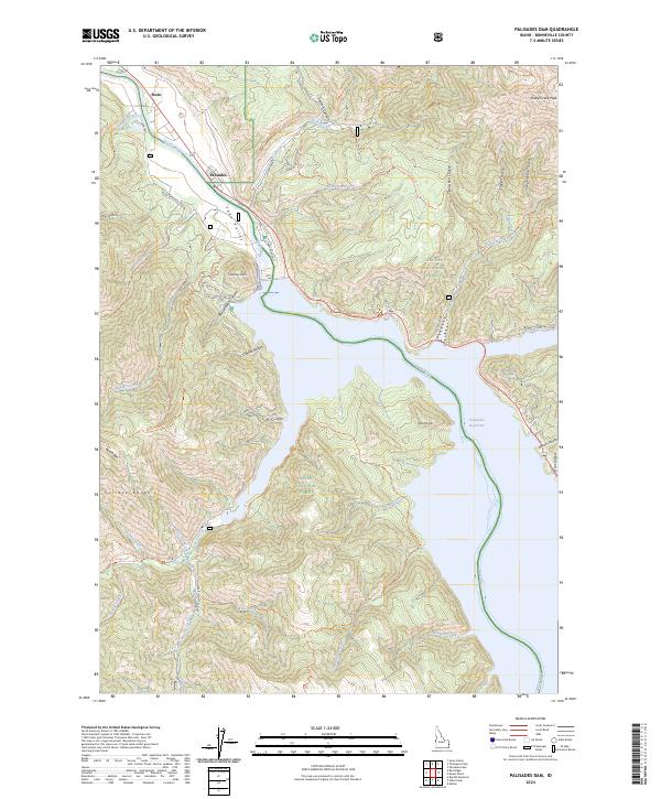 2024 Palisades Dam2024 Print · USGSThe Snake River corridor in Bonneville County comes to life in this modern survey, showing the vast reach of the Palisades Reservoir and the adjacent forest lands. Hikers and historians can trace routes like the Whiskey Springs Trl or locate the settlements of Irwin and Palisades.
End of results
Showing maps 1-25 of 25
Top cities near Irwin
Frequently asked questions
- What are the different types of historical maps available for Irwin?
- What is the oldest map of Irwin?
- Where can I purchase historical maps of Irwin for my home or office?
- Where can I download high-res historical maps of Irwin?
- Are there historical topographic maps available for Irwin?
- Is there historical aerial imagery available for Irwin?
- Where are historical maps of Irwin sourced from?