Old Maps of Irwin, Idaho for Metal Detecting
Plan your next treasure hunt with 25 historic maps of Irwin. Find old homesites, ghost towns, trails, and gathering spots that may be lost to time — perfect for identifying promising metal detecting locations.
- Locate forgotten sites: Uncover places like long-lost settlements, abandoned rail lines, or gathering spots.
- Plan better hunts: Use map overlays combined with LiDAR or satellite views to narrow in on historically rich areas.
- Made for detectorists: Thousands of hobbyists use these maps to discover relics, coins, and hidden history.
Use these historic maps to boost your research and find new opportunities beneath the surface of Irwin.
Irwin, ID maps
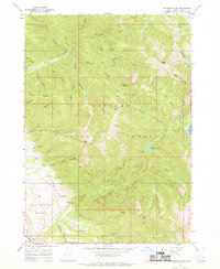
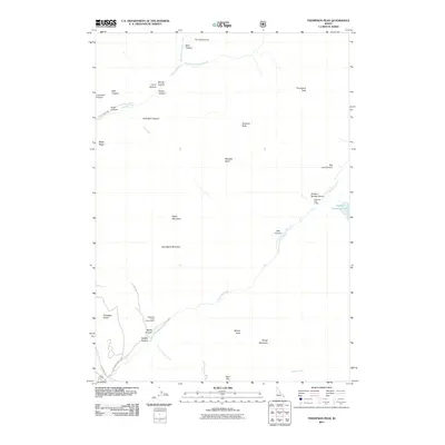
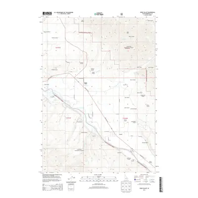
(25)- 1932 Map of Irwin
 1932 Irwin1932 Print · USGSThe Snake River corridor and the high mountain basins of eastern Idaho are captured here in the early 1930s. Researchers can trace early river crossings like Edwards Ferry or find small-community landmarks like Rainy Dale and Pumpkin Center Sch.2 unique versions available
 - 1935 Map of Irwin
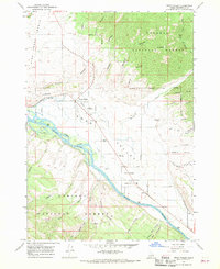
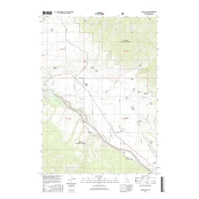
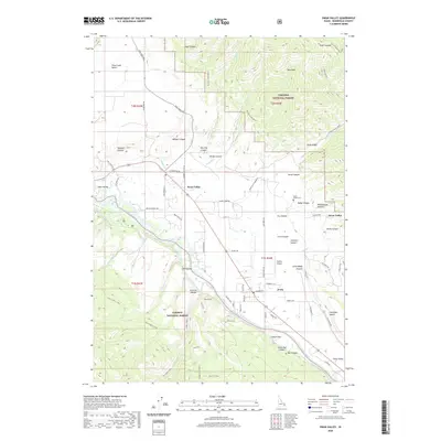
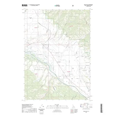
 1935 Irwin1935 Print · USGSThe Idaho-Wyoming borderlands are captured here in the 1930s as the river economy and mountain ranching defined the region. Researchers can trace the early road networks and rural institutions from Edwards Ferry to local schools like Fidelity Sch and Blowout Sch.3 unique versions available
 - 1955 Map of Driggs, 1967 Print
 1955 Driggs1967 Print · USGSEastern Idaho and Western Wyoming appear at a mid-century crossroads as the river valleys were fully settled and the high peaks protected. Genealogists and researchers can trace the rail towns of Rexburg and Driggs or follow the Snake River from Irwin to the Palisades Reservoir.3 unique versions available
 - 1958 Map of Driggs
 1958 Driggs1958 Print · USGSThe high Teton peaks and Snake River valleys are captured here in the mid-fifties, showing the region's agricultural and wilderness boundaries. Researchers can trace the Union Pacific rail corridor through Rexburg or locate early settlements like Clementsville and Tetonia.2 unique versions available
 - 1962 Map of Driggs
 1962 Driggs1962 Print · USGSThe Idaho-Wyoming borderlands are captured here in the early sixties, showing the peaks and valleys of the northern Rockies. Genealogists and historians can trace rail lines like the Union Pacific RR and isolated outposts like the National Elk Refuge or the Fort Hall Indian Reservation.
 - 1966 Map of Thompson Peak, 1969 Print
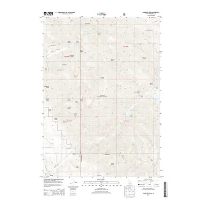
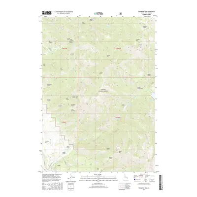
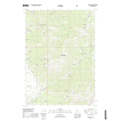
 1966 Thompson Peak1969 Print · USGSTarghee National Forest in the mid-1960s reveals a high-country network of pack trails and backcountry campsites. Historians and outdoor enthusiasts can trace the paths to Upper Palisades Lake or locate landmarks like Hunts Corral and Thompson Peak.3 unique versions available
 - 1966 Map of Palisades Dam, 1969 Print
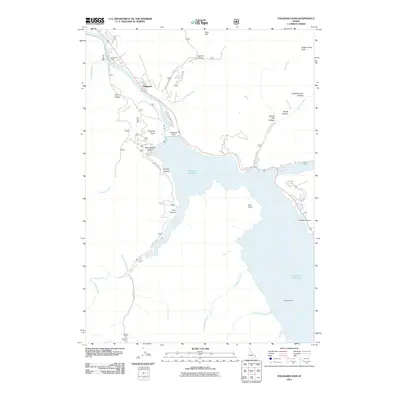
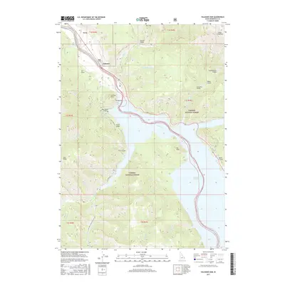
 1966 Palisades Dam1969 Print · USGSThe Snake River valley underwent a massive transformation in the mid-1960s following the construction of the Palisades Dam. Researchers can trace the early layout of the Palisades Townsite and locate remote landmarks like the Calamity Guard Sta and Van Point.3 unique versions available
 - 1966 Map of Swan Valley, 1969 Print
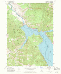
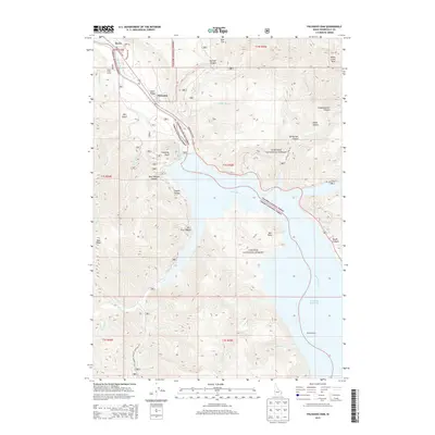
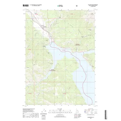
 1966 Swan Valley1969 Print · USGSSwan Valley and Irwin sit along the river-carved plains of the Snake River in the late sixties, surrounded by national forest lands. Researchers can trace the layout of early rural life through features like the Swan Valley Cemetery, Chapel in the Valley, and the nearby Ranger Station.3 unique versions available
 - 1986 Map of Palisades, 1987 Print
 1986 Palisades1987 Print · USGSThe Idaho-Wyoming borderlands are captured here in the mid-1980s, where the high ridges of the Caribou Range meet the vital Snake River corridor. Researchers can trace the water-management history of Palisades Reservoir or locate the Monte Cristo Mine and Evergreen Mine near the Caribou Basin.2 unique versions available
 - 2011 Map of Swan Valley, 2011 Print
 2011 Swan Valley2011 Print · USGSCovers Irwin, including Swan Valley, Bonneville County, and other nearby areas
 - 2011 Map of Thompson Peak, 2011 Print
 2011 Thompson Peak2011 Print · USGSCovers Irwin, including Swan Valley, Bonneville County, and other nearby areas
 - 2011 Map of Palisades Dam, 2011 Print
 2011 Palisades Dam2011 Print · USGSCovers Irwin, including Palisades, Bonneville County, and other nearby areas
 - 2013 Map of Palisades Dam, 2013 Print
 2013 Palisades Dam2013 Print · USGSCovers Irwin, including Palisades, Bonneville County, and other nearby areas
 - 2013 Map of Thompson Peak, 2013 Print
 2013 Thompson Peak2013 Print · USGSCovers Irwin, including Swan Valley, Bonneville County, and other nearby areas
 - 2013 Map of Swan Valley, 2013 Print
 2013 Swan Valley2013 Print · USGSCovers Irwin, including Swan Valley, Bonneville County, and other nearby areas
 - 2017 Map of Thompson Peak, 2017 Print
 2017 Thompson Peak2017 Print · USGSCovers Irwin, including Swan Valley, Bonneville County, and other nearby areas
 - 2017 Map of Palisades Dam, 2017 Print
 2017 Palisades Dam2017 Print · USGSCovers Irwin, including Palisades, Bonneville County, and other nearby areas
 - 2017 Map of Swan Valley, 2017 Print
 2017 Swan Valley2017 Print · USGSCovers Irwin, including Swan Valley, Bonneville County, and other nearby areas
 - 2020 Map of Thompson Peak, 2020 Print
 2020 Thompson Peak2020 Print · USGSCovers Irwin, including Swan Valley, Bonneville County, and other nearby areas
 - 2020 Map of Palisades Dam, 2020 Print
 2020 Palisades Dam2020 Print · USGSCovers Irwin, including Palisades, Bonneville County, and other nearby areas
 - 2020 Map of Swan Valley, 2020 Print
 2020 Swan Valley2020 Print · USGSCovers Irwin, including Swan Valley, Bonneville County, and other nearby areas
 - 2023 Map of Swan Valley, 2023 Print
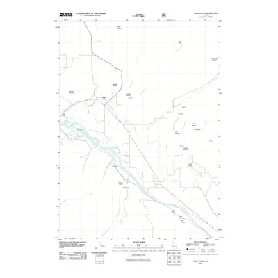
 2023 Swan Valley2023 Print · USGSCovers Irwin, including Swan Valley, Bonneville County, and other nearby areas
 - 2024 Map of Thompson Peak, 2024 Print
 2024 Thompson Peak2024 Print · USGSHigh in the Snake River Range during the early twenty-first century, this Idaho landscape reveals a rugged network of alpine lakes and mountain trails. You can trace the paths to Lower Palisades Lake, locate the peaks of Atkinson Peak, and explore the canyon floor near Irwin.
 - 2024 Map of Swan Valley, 2024 Print
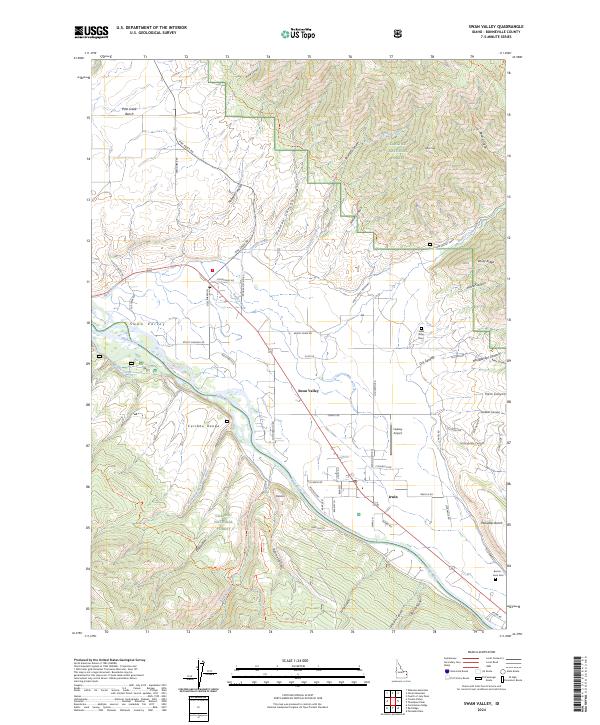 2024 Swan Valley2024 Print · USGSSwan Valley and Irwin sit along the Snake River in the mid-2020s, showing a landscape defined by mountain forests and riverfront settlements. Researchers can locate family sites at the Swan Valley Cem or Burton-Irwin Cem and trace old routes through Oakden Canyon.
 - 2024 Map of Palisades Dam, 2024 Print
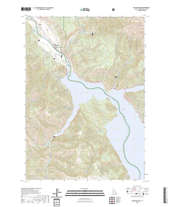 2024 Palisades Dam2024 Print · USGSThe Snake River corridor in Bonneville County comes to life in this modern survey, showing the vast reach of the Palisades Reservoir and the adjacent forest lands. Hikers and historians can trace routes like the Whiskey Springs Trl or locate the settlements of Irwin and Palisades.
End of results
Showing maps 1-25 of 25
Top cities near Irwin
Frequently asked questions
- What are the different types of historical maps available for Irwin?
- What is the oldest map of Irwin?
- Where can I purchase historical maps of Irwin for my home or office?
- Where can I download high-res historical maps of Irwin?
- Are there historical topographic maps available for Irwin?
- Is there historical aerial imagery available for Irwin?
- Where are historical maps of Irwin sourced from?