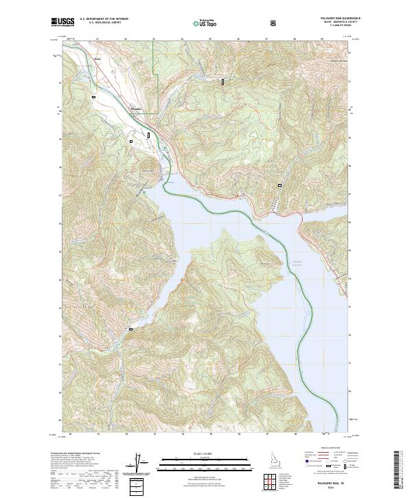
2024 Map of Palisades Dam
USGS Topo · Published 2024About this map
Palisades Reservoir dominates this high-altitude landscape where the Snake River transitions into a significant water storage system. The canyon-cut terrain is defined by the intersection of the Targhee National Forest and Caribou National Forest, with the settlements of Irwin and Palisades serving as the primary gateways to the region. The map reveals an extensive network of back-country routes, including the Bear Creek-Elk Jensen road and the Whiskey Springs Trl, which provide access to the steep drainage systems of the Caribou Range.
Find a feature on this map
60 named features on this map. Tap any name to fly to it.
Don’t see what you’re looking for? This feature index may not catch every label — zoom into the map to look around manually.
Map Details
Editions of this 2024 Palisades Dam Map
This is the sole edition of this map. No revisions or reprints were ever made.
Other maps of this area

1932 · Irwin
USGS Topo · 1:96,000

1935 · Irwin
USGS Topo · 1:125,000

1955 · Driggs
USGS Topo · 1:250,000

1958 · Driggs
USGS Topo · 1:250,000

1962 · Driggs
USGS Topo · 1:250,000
1966 · Palisades Peak
USGS Topo · 1:24,000
1966 · Alpine
USGS Topo · 1:24,000

1966 · Big Elk Mtn
USGS Topo · 1:24,000
1966 · Thompson Peak
USGS Topo · 1:24,000
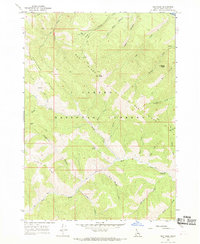
1966 · Red Ridge
USGS Topo · 1:24,000