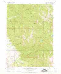
1966 Map of Thompson Peak
USGS Topo · Published 1969About this map
Targhee National Forest dominates this 1960s landscape, where a dense network of drainages and high summits define the topography of eastern Idaho. The central drainage of Palisades Creek provides access to the backcountry, leading to Lower Palisades Lake and Upper Palisades Lake. Notable elevations such as Thompson Peak, Atkinson Peak, and Baldy Mtn tower over the canyons, while the Palisades Bench transition near the Swan Valley suggests a shift from high mountain terrain to the valley floor. Evidence of historic land use appears in the form of numerous named pack trails and the location of Hunts Corral in the northeastern quadrant. Strategic sites for outdoor activity are identified at the Palisades Creek Campground and a secluded Campground along the lake, while landmarks like Paradise Basin and Rocky Ridge further emphasize the complex geological character of the region.
Find a feature on this map
46 named features on this map. Tap any name to fly to it.
Don’t see what you’re looking for? This feature index may not catch every label — zoom into the map to look around manually.
Map Details
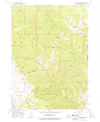
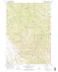
Editions of this 1966 Thompson Peak Map
3 editions found
Other maps of this area

1932 · Irwin
USGS Topo · 1:96,000

1935 · Irwin
USGS Topo · 1:125,000

1943 · Driggs
USGS Topo · 1:62,500

1943 · Garns Mtn
USGS Topo · 1:62,500

1946 · Driggs
USGS Topo · 1:62,500

1946 · Garns Mtn
USGS Topo · 1:62,500

1955 · Driggs
USGS Topo · 1:250,000

1958 · Driggs
USGS Topo · 1:250,000

1962 · Driggs
USGS Topo · 1:250,000
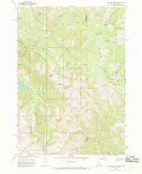
1966 · Palisades Peak
USGS Topo · 1:24,000