2000s (21st Century) Maps of Melba, Idaho
Explore 10 historic maps of Melba from the 2000s (21st Century). These maps offer a rare glimpse into what life looked like during the 2000s — showing old roads, neighborhoods, homes, and landmarks that have changed or disappeared over time.
Whether you're researching your family's past, planning a metal detecting trip, or studying how Melba's landscape evolved across the 2000s, these high-resolution maps are a powerful tool for exploring the history of this region.
- Focus on a specific era: All maps on this page are from the 2000s, giving you a focused view of this time period.
- See what’s changed: Compare century-old streets, trails, and buildings to today's modern landscape using overlays and satellite layers.
- Research with precision: Use these maps for genealogy, historical research, land use analysis, or educational projects.
- View, download, or print: Maps are fully viewable online in high resolution, and can be downloaded or printed for your own records.
Start exploring Melba's history through authentic maps from the 2000s. This is your window into the past.
Melba, ID maps
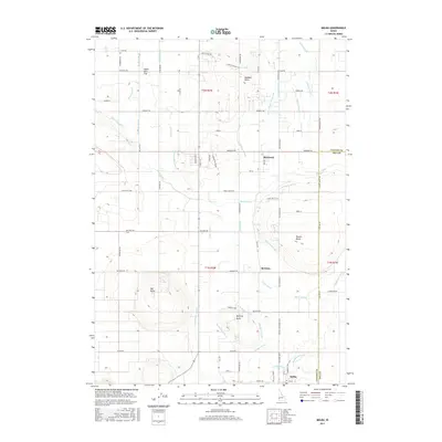
(10)- 2010 Map of Melba, 2010 Print
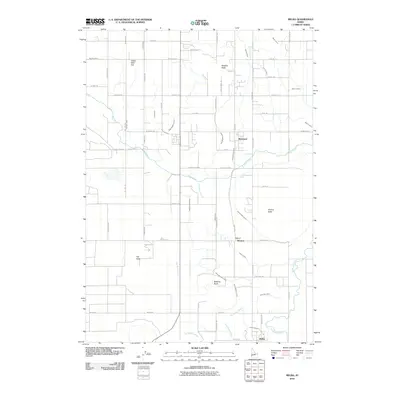 2010 Melba2010 Print · USGSCovers Melba, including Bowmont, Ada County, and other nearby areas
 - 2010 Map of Walters Butte, 2010 Print
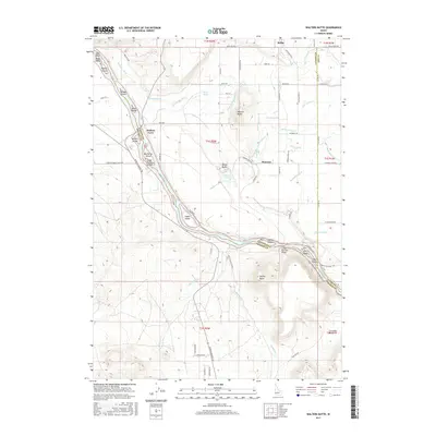
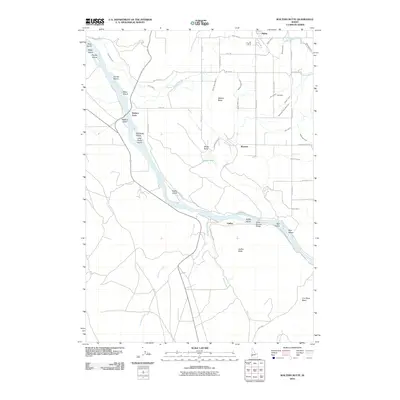 2010 Walters Butte2010 Print · USGSCovers Melba, including Ada County, Canyon County, and other nearby areas
 - 2013 Map of Walters Butte, 2013 Print
 2013 Walters Butte2013 Print · USGSCovers Melba, including Ada County, Canyon County, and other nearby areas
 - 2013 Map of Melba, 2013 Print
 2013 Melba2013 Print · USGSCovers Melba, including Bowmont, Ada County, and other nearby areas
 - 2017 Map of Melba, 2017 Print
 2017 Melba2017 Print · USGSCovers Melba, including Bowmont, Ada County, and other nearby areas
 - 2017 Map of Walters Butte, 2017 Print
 2017 Walters Butte2017 Print · USGSCovers Melba, including Ada County, Canyon County, and other nearby areas
 - 2020 Map of Melba, 2020 Print
 2020 Melba2020 Print · USGSCovers Melba, including Bowmont, Ada County, and other nearby areas
 - 2020 Map of Walters Butte, 2020 Print
 2020 Walters Butte2020 Print · USGSCovers Melba, including Ada County, Canyon County, and other nearby areas
 - 2023 Map of Walters Butte, 2023 Print
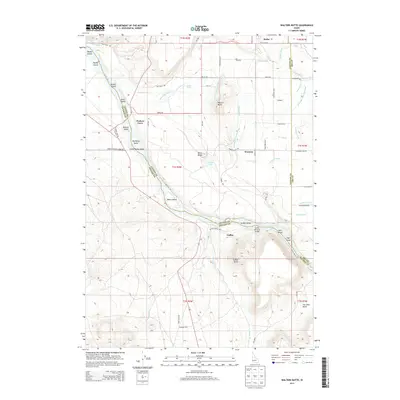
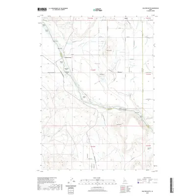
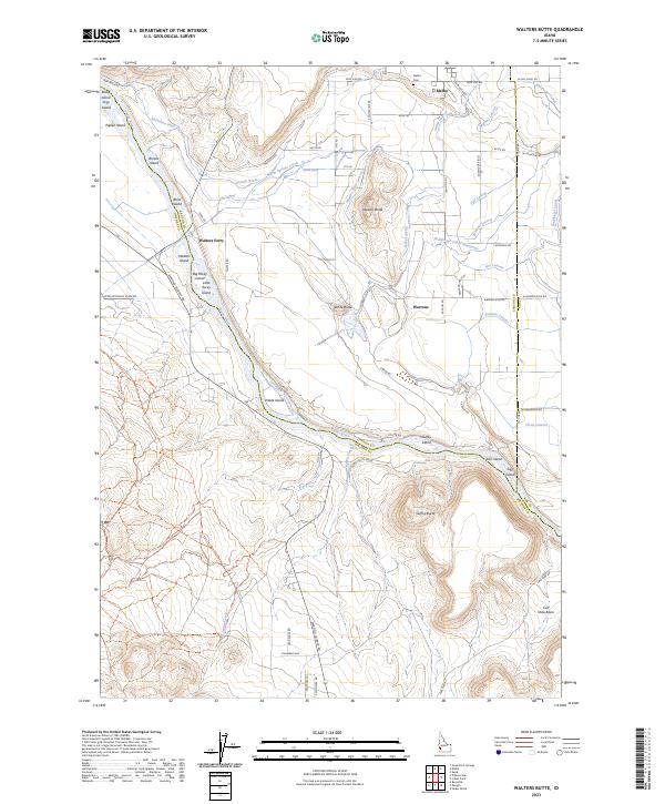 2023 Walters Butte2023 Print · USGSOwyhee and Canyon counties meet along the Snake River in the 2020s, showing a desert landscape transformed by irrigation and conservation. Researchers can trace the extensive canal system near Melba, locate the Melba Cem, and explore river landmarks like Walters Ferry and Noble Island.
 - 2023 Map of Melba, 2023 Print
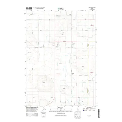
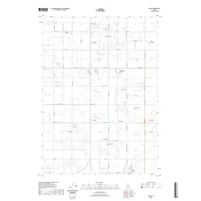
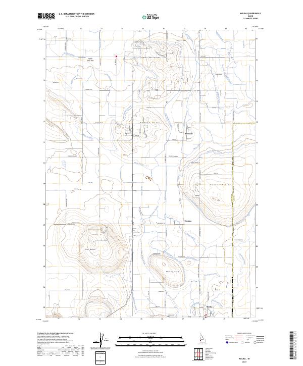 2023 Melba2023 Print · USGSCanyon County agriculture and high desert terrain converge in this recent survey of the region surrounding Melba. Researchers can trace the sophisticated irrigation network of the Mora Canal and locate landmarks like Hat Butte and the settlement of Bowmont.
End of results
Showing maps 1-10 of 10
Top cities near Melba
- Boise historical maps
- Meridian historical maps
- Nampa historical maps
- Caldwell historical maps
- Kuna historical maps
- Murphy historical maps
Frequently asked questions
- What are the different types of historical maps available for Melba?
- What is the oldest map of Melba?
- Where can I purchase historical maps of Melba for my home or office?
- Where can I download high-res historical maps of Melba?
- Are there historical topographic maps available for Melba?
- Is there historical aerial imagery available for Melba?
- Where are historical maps of Melba sourced from?