Old Maps of Melba, Idaho for Metal Detecting
Plan your next treasure hunt with 21 historic maps of Melba. Find old homesites, ghost towns, trails, and gathering spots that may be lost to time — perfect for identifying promising metal detecting locations.
- Locate forgotten sites: Uncover places like long-lost settlements, abandoned rail lines, or gathering spots.
- Plan better hunts: Use map overlays combined with LiDAR or satellite views to narrow in on historically rich areas.
- Made for detectorists: Thousands of hobbyists use these maps to discover relics, coins, and hidden history.
Use these historic maps to boost your research and find new opportunities beneath the surface of Melba.
Melba, ID maps
(21)- 1892 Map of Silver City, 1962 Print
 1892 Silver City1962 Print · USGSOwyhee County was a center of industrial silver mining in the 1890s, with high-mountain camps and river crossings defining the local economy. Researchers can trace the layout of mining hubs like Silver City and De Lamar or locate the Warm Springs Ferry along the Snake River.2 unique versions available
 - 1894 Map of Silver City
 1894 Silver City1894 Print · USGSThe Owyhee mining district and Snake River valley were in their industrial prime during the 1890s. Genealogists and historians can trace high-country settlements like Silver City and De Lamar or locate river crossings such as Warm Springs Ferry.
 - 1898 Map of Silver City
 1898 Silver City1898 Print · USGSThe silver-mining heart of Owyhee County is captured here in the late nineteenth century during its industrial peak. Genealogists and historians can trace old mining camps like Silver City and De Lamar, or locate river crossings such as Warm Springs Ferry.3 unique versions available
 - 1955 Map of Boise, 1977 Print
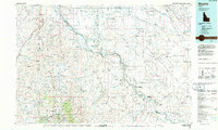
 1955 Boise1977 Print · USGSThe Treasure Valley and Owyhee uplands are shown in detail during the mid-fifties, capturing the region's transition into a major agricultural and urban hub. Researchers can trace the Union Pacific line through Nampa, explore the volcanic Jordan Craters, or locate the historic mining district of Silver City.
 - 1957 Map of Walters Butte, 1958 Print
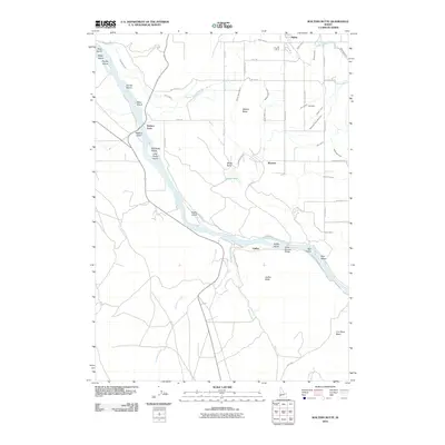
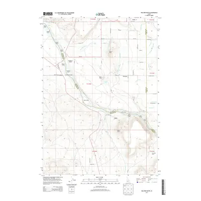
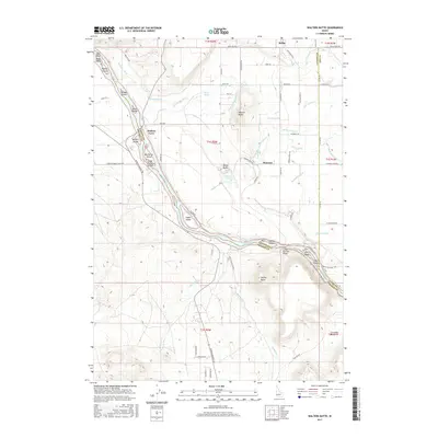
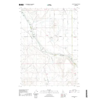
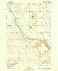 1957 Walters Butte1958 Print · USGSIn the Snake River canyon during the late 1950s, this area shows a sharp transition from high desert buttes to irrigated farmland. Genealogists and historians can trace the foundations of Melba, the location of the Glendale School, and the historic crossing at Walters Ferry.3 unique versions available
 - 1958 Map of Boise
 1958 Boise1958 Print · USGSThe Treasure Valley and Snake River Plain come alive in the mid-fifties as the rail-and-river economy transitions into a modern agricultural hub. Trace the Union Pacific lines through Nampa or locate remote landmarks like Initial Point and the Rockville settlement.2 unique versions available
 - 1958 Map of Melba, 1960 Print
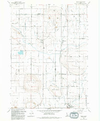
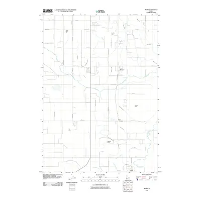
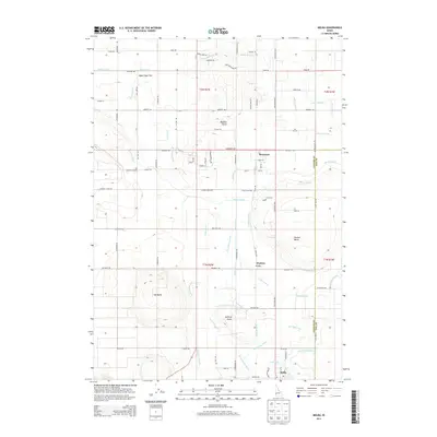
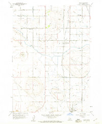 1958 Melba1960 Print · USGSIn the late 1950s, the irrigation of the Snake River Valley transformed this Canyon County landscape into a thriving rail-and-canal corridor. Researchers can trace the routes of the Union Pacific Railroad through rural settlements like Bowmont and Melba.3 unique versions available
 - 1962 Map of Boise
 1962 Boise1962 Print · USGSThe Treasure Valley at the start of the sixties reveals a landscape of expanding towns and complex irrigation networks along the Snake River. Genealogists and historians can trace the foundations of modern Idaho through markers like Initial Point, the mining history of Silver City, and the early infrastructure of Lucky Peak Dam.
 - 1986 Map of Murphy
 1986 Murphy1986 Print · USGSThe Owyhee mining country and Snake River canyon are documented here during the mid-1980s. Researchers can trace the legacy of the silver boom in Silver City, locate Initial Point, or follow the Union Pacific line through Orchard.
 - 1992 Map of Walters Butte
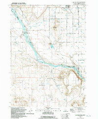 1992 Walters Butte1992 Print · USGSThe Snake River corridor in the early nineties reveals a landscape where ancient history meets modern irrigation. Trace the path of the river past Walters Ferry to find Petroglyphs, the Guffey Railroad Bridge, and the community of Melba.
 - 1992 Map of Melba
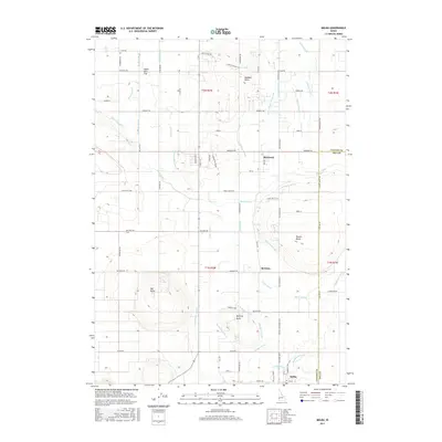
 1992 Melba1992 Print · USGSCanyon County agriculture and irrigation come into focus in the early nineties, centered on the communities of Melba and Bowmont. Genealogists and local historians can trace family landmarks like the Scism School or the various water features including the Mora Canal and McElroy Butte.
 - 2010 Map of Melba, 2010 Print
 2010 Melba2010 Print · USGSCovers Melba, including Bowmont, Ada County, and other nearby areas
 - 2010 Map of Walters Butte, 2010 Print
 2010 Walters Butte2010 Print · USGSCovers Melba, including Ada County, Canyon County, and other nearby areas
 - 2013 Map of Walters Butte, 2013 Print
 2013 Walters Butte2013 Print · USGSCovers Melba, including Ada County, Canyon County, and other nearby areas
 - 2013 Map of Melba, 2013 Print
 2013 Melba2013 Print · USGSCovers Melba, including Bowmont, Ada County, and other nearby areas
 - 2017 Map of Melba, 2017 Print
 2017 Melba2017 Print · USGSCovers Melba, including Bowmont, Ada County, and other nearby areas
 - 2017 Map of Walters Butte, 2017 Print
 2017 Walters Butte2017 Print · USGSCovers Melba, including Ada County, Canyon County, and other nearby areas
 - 2020 Map of Melba, 2020 Print
 2020 Melba2020 Print · USGSCovers Melba, including Bowmont, Ada County, and other nearby areas
 - 2020 Map of Walters Butte, 2020 Print
 2020 Walters Butte2020 Print · USGSCovers Melba, including Ada County, Canyon County, and other nearby areas
 - 2023 Map of Walters Butte, 2023 Print
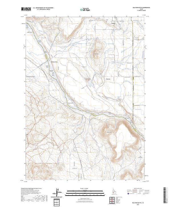 2023 Walters Butte2023 Print · USGSOwyhee and Canyon counties meet along the Snake River in the 2020s, showing a desert landscape transformed by irrigation and conservation. Researchers can trace the extensive canal system near Melba, locate the Melba Cem, and explore river landmarks like Walters Ferry and Noble Island.
 - 2023 Map of Melba, 2023 Print
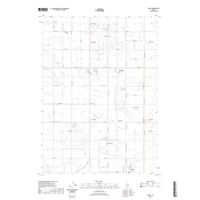
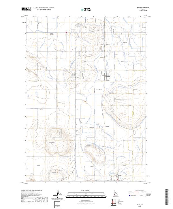 2023 Melba2023 Print · USGSCanyon County agriculture and high desert terrain converge in this recent survey of the region surrounding Melba. Researchers can trace the sophisticated irrigation network of the Mora Canal and locate landmarks like Hat Butte and the settlement of Bowmont.
End of results
Showing maps 1-21 of 21
Top cities near Melba
- Boise historical maps
- Meridian historical maps
- Nampa historical maps
- Caldwell historical maps
- Kuna historical maps
- Murphy historical maps
Frequently asked questions
- What are the different types of historical maps available for Melba?
- What is the oldest map of Melba?
- Where can I purchase historical maps of Melba for my home or office?
- Where can I download high-res historical maps of Melba?
- Are there historical topographic maps available for Melba?
- Is there historical aerial imagery available for Melba?
- Where are historical maps of Melba sourced from?