2000s (21st Century) Maps of View, Idaho
Explore 6 historic maps of View from the 2000s (21st Century). These maps offer a rare glimpse into what life looked like during the 2000s — showing old roads, neighborhoods, homes, and landmarks that have changed or disappeared over time.
Whether you're researching your family's past, planning a metal detecting trip, or studying how View's landscape evolved across the 2000s, these high-resolution maps are a powerful tool for exploring the history of this region.
- Focus on a specific era: All maps on this page are from the 2000s, giving you a focused view of this time period.
- See what’s changed: Compare century-old streets, trails, and buildings to today's modern landscape using overlays and satellite layers.
- Research with precision: Use these maps for genealogy, historical research, land use analysis, or educational projects.
- View, download, or print: Maps are fully viewable online in high resolution, and can be downloaded or printed for your own records.
Start exploring View's history through authentic maps from the 2000s. This is your window into the past.
View, ID maps
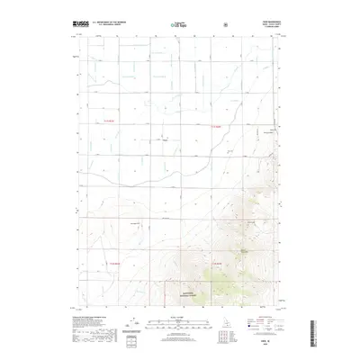
(6)- 2001 Map of View, 2006 Print
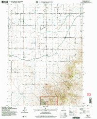 2001 View2006 Print · USGSIdaho’s southern agricultural heartland is documented here at the turn of the millennium, showing a landscape of irrigation and homesteads. Local researchers can trace family sites from Unity to View, including the View Cem, Marchant, and the rural Grange Hall.
 - 2011 Map of View, 2011 Print
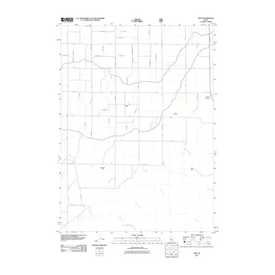 2011 View2011 Print · USGSCovers View, including Cassia County, United States, and other nearby areas
 - 2013 Map of View, 2013 Print
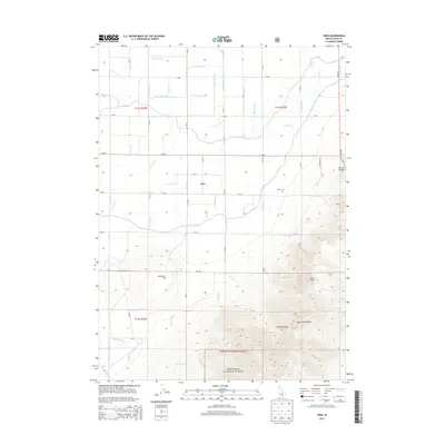 2013 View2013 Print · USGSCovers View, including Cassia County, United States, and other nearby areas
 - 2017 Map of View, 2017 Print
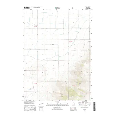 2017 View2017 Print · USGSCovers View, including Cassia County, United States, and other nearby areas
 - 2020 Map of View, 2020 Print
 2020 View2020 Print · USGSCovers View, including Cassia County, United States, and other nearby areas
 - 2024 Map of View, 2024 Print
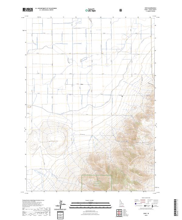 2024 View2024 Print · USGSThe settlement of View sits at the intersection of a vast irrigation network and the rising Albion Mountains in Cassia County. Researchers can trace the water-sharing legacy of the H Canal and find local landmarks like the View Cem or Pine Knob.
End of results
Showing maps 1-6 of 6
Top cities near View
- Burley historical maps
- Rupert historical maps
- Heyburn historical maps
- Paul historical maps
- Oakley historical maps
- Declo historical maps
See more
Frequently asked questions
- What are the different types of historical maps available for View?
- What is the oldest map of View?
- Where can I purchase historical maps of View for my home or office?
- Where can I download high-res historical maps of View?
- Are there historical topographic maps available for View?
- Is there historical aerial imagery available for View?
- Where are historical maps of View sourced from?