Old Maps of View, Idaho for Hiking & Exploration
Hike through history with 10 historic maps of View. Explore old trails, ghost towns, and forgotten backroads — perfect for outdoor adventurers and local explorers.
- Rediscover forgotten places: Map out old mining camps, roads, and footpaths that no longer exist on modern maps.
- Layer with modern tools: Combine with LiDAR or satellite views to plan hikes through historical terrain.
- Made for exploration: Popular among hikers, overlanders, and local history lovers.
Use these maps to find adventure and explore the hidden past of View.
View, ID maps
(10)- 1954 Map of Pocatello, 1963 Print
 1954 Pocatello1963 Print · USGSSoutheast Idaho in the mid-1950s reveals a landscape shaped by massive water reclamation and mountain forests. Researchers can trace the development of the Fort Hall Indian Reservation or locate specific landmarks like the Arbon P O and Emerson School.4 unique versions available
 - 1958 Map of Pocatello
 1958 Pocatello1958 Print · USGSSoutheastern Idaho in the late fifties was a landscape of expanding reservoirs and historic trails. Genealogists and historians can trace the Old Oregon Trail, locate the Bannock Creek Indian Day School, and study the many Union Pacific rail sidings.2 unique versions available
 - 1964 Map of View, 1965 Print
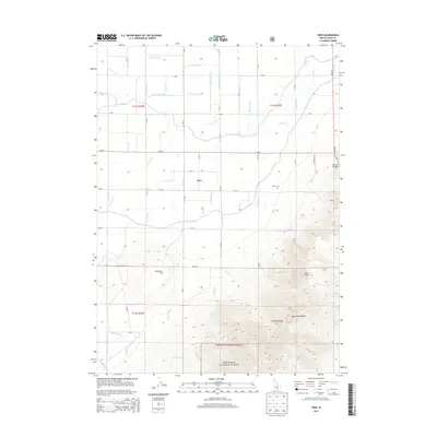
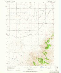 1964 View1965 Print · USGSCassia County farmsteads and irrigation networks meet the rising peaks of the Albion Range in the mid-1960s. Researchers can locate family landmarks like the Grange Hall, trace the grounds of View Cemetery, and find rural centers at Unity and Marchant.3 unique versions available
 - 1993 Map of Oakley
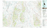 1993 Oakley1993 Print · USGSCassia County in the early nineties features a vast landscape of high-desert basins and granite formations. Genealogists and historians can trace the Hudspeth Cutoff, an Old Railroad Grade, and vanished towns like Churchill.
 - 2001 Map of View, 2006 Print
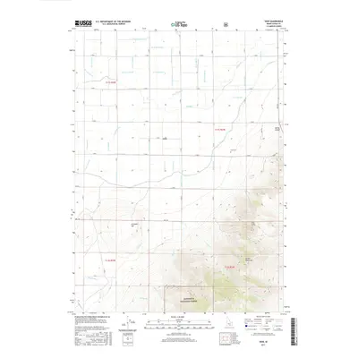
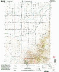 2001 View2006 Print · USGSIdaho’s southern agricultural heartland is documented here at the turn of the millennium, showing a landscape of irrigation and homesteads. Local researchers can trace family sites from Unity to View, including the View Cem, Marchant, and the rural Grange Hall.
 - 2011 Map of View, 2011 Print
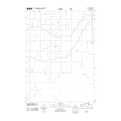 2011 View2011 Print · USGSCovers View, including Cassia County, United States, and other nearby areas
 - 2013 Map of View, 2013 Print
 2013 View2013 Print · USGSCovers View, including Cassia County, United States, and other nearby areas
 - 2017 Map of View, 2017 Print
 2017 View2017 Print · USGSCovers View, including Cassia County, United States, and other nearby areas
 - 2020 Map of View, 2020 Print
 2020 View2020 Print · USGSCovers View, including Cassia County, United States, and other nearby areas
 - 2024 Map of View, 2024 Print
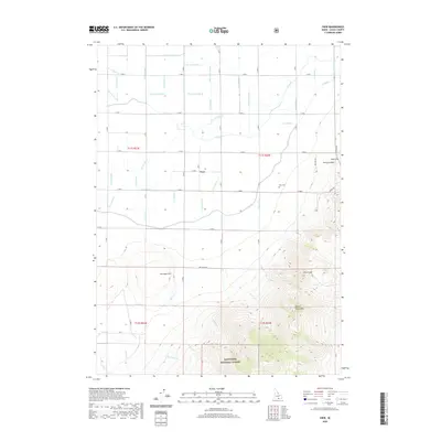
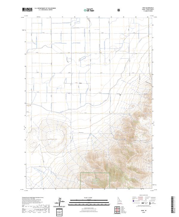 2024 View2024 Print · USGSThe settlement of View sits at the intersection of a vast irrigation network and the rising Albion Mountains in Cassia County. Researchers can trace the water-sharing legacy of the H Canal and find local landmarks like the View Cem or Pine Knob.
End of results
Showing maps 1-10 of 10
Top cities near View
- Burley historical maps
- Rupert historical maps
- Heyburn historical maps
- Paul historical maps
- Oakley historical maps
- Declo historical maps
See more
Frequently asked questions
- What are the different types of historical maps available for View?
- What is the oldest map of View?
- Where can I purchase historical maps of View for my home or office?
- Where can I download high-res historical maps of View?
- Are there historical topographic maps available for View?
- Is there historical aerial imagery available for View?
- Where are historical maps of View sourced from?