Old Maps of Hagerman, Idaho for Academic Research
Study the evolution of Hagerman with 9 high-resolution historic maps. Whether you're teaching, researching, or modeling changes in land use, these maps provide essential visual documentation of urban, environmental, and geographic change.
- Analyze long-term change: Track patterns in development, transportation, and natural features.
- Ideal for environmental or urban studies: Support academic projects with primary historical map data.
- Use in the classroom or lab: Educators and researchers rely on these maps to bring historical context to life.
These maps are a powerful tool for teaching, research, and visualizing how Hagerman has changed over the decades.
Hagerman, ID maps
(9)- 1949 Map of Hagerman, 1968 Print
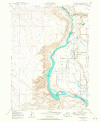 1949 Hagerman1968 Print · USGSThe Snake River canyon in Idaho was being actively transformed for power and irrigation during the late 1940s. Genealogists and historians can trace local landmarks like the Idaho State Fish Hatchery and Game Reserve, the Lower Salmon Falls Power Plant, and the Buckeye Ranch.4 unique versions available
 - 1950 Map of Hagerman
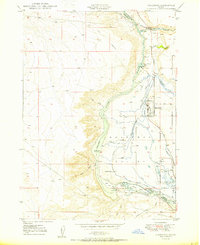 1950 Hagerman1950 Print · USGSThe Hagerman Valley at mid-century is a landscape defined by the Snake River's power and a complex network of irrigation. Researchers can trace early water rights through the Big Bend Ditch, locate the Buckeye Ranch, or study the Idaho State Fish Hatchery.
 - 1955 Map of Twin Falls, 1963 Print
 1955 Twin Falls1963 Print · USGSThe Magic Valley flourished in the mid-1950s as a sophisticated network of irrigation and rail lines connected high-desert outposts. Researchers can trace the engineering of the Milner-Gooding Canal, the remote Murphy Hot Springs, and the Union Pacific rail network.3 unique versions available
 - 1958 Map of Twin Falls
 1958 Twin Falls1958 Print · USGSThe Magic Valley and Snake River Plain are captured here in the late fifties, showcasing a region defined by transformative irrigation projects and desert military ranges. Researchers can trace the Union Pacific rail lines and locate small outlying settlements like Wickahoney, Rogerson, and Hollister.2 unique versions available
 - 2010 Map of Hagerman, 2010 Print
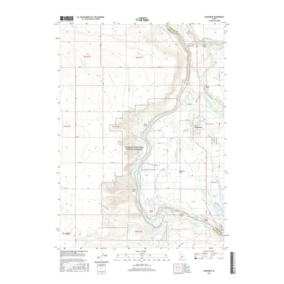
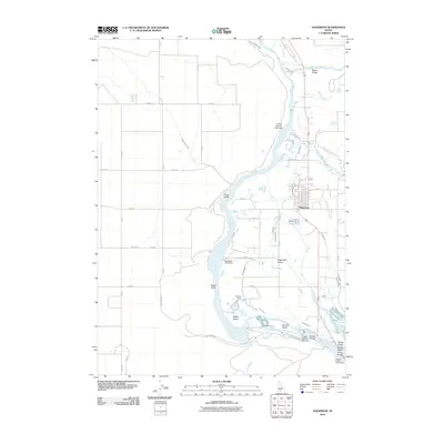 2010 Hagerman2010 Print · USGSCovers Hagerman, including Twin Falls County, Gooding County, and other nearby areas
 - 2013 Map of Hagerman, 2013 Print
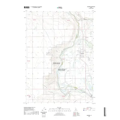
 2013 Hagerman2013 Print · USGSCovers Hagerman, including Twin Falls County, Gooding County, and other nearby areas
 - 2017 Map of Hagerman, 2017 Print
 2017 Hagerman2017 Print · USGSCovers Hagerman, including Twin Falls County, Gooding County, and other nearby areas
 - 2020 Map of Hagerman, 2020 Print
 2020 Hagerman2020 Print · USGSCovers Hagerman, including Twin Falls County, Gooding County, and other nearby areas
 - 2024 Map of Hagerman, 2024 Print
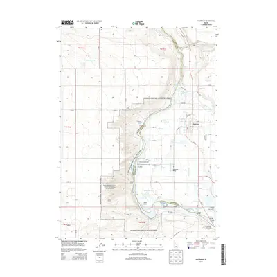
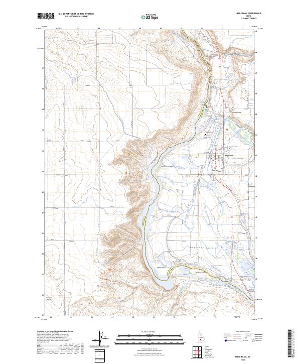 2024 Hagerman2024 Print · USGSHagerman and the Snake River canyon are documented here in recent years, showing a landscape defined by paleontological sites and desert irrigation. Trace local lineage at Hagerman Pioneer Cem or follow the historic path of the Emigrant Trl near Millet Island.
End of results
Showing maps 1-9 of 9
Top cities near Hagerman
Frequently asked questions
- What are the different types of historical maps available for Hagerman?
- What is the oldest map of Hagerman?
- Where can I purchase historical maps of Hagerman for my home or office?
- Where can I download high-res historical maps of Hagerman?
- Are there historical topographic maps available for Hagerman?
- Is there historical aerial imagery available for Hagerman?
- Where are historical maps of Hagerman sourced from?