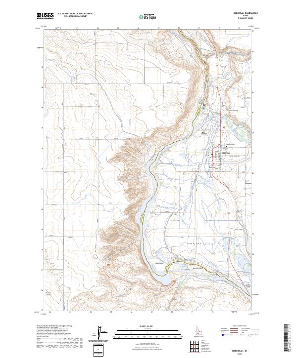
2024 Map of Hagerman
USGS Topo · Published 2024About this map
Hagerman Fossil Beds National Monument dominates the western bank of the Snake River, preserving a paleontological record within the bluffs of Peters Gulch and Fossil Gulch. The landscape is a complex network of agricultural irrigation, where numerous canals like the King Hill Main Canal and ditches including Bell Ditch, Buckeye Ditch, and Sands Ditch divert water to the Hagerman Valley.
Find a feature on this map
58 named features on this map. Tap any name to fly to it.
Don’t see what you’re looking for? This feature index may not catch every label — zoom into the map to look around manually.
Map Details
Editions of this 2024 Hagerman Map
This is the sole edition of this map. No revisions or reprints were ever made.
Other maps of this area

1948 · Ticeska
USGS Topo · 1:24,000

1949 · Ticeska
USGS Topo · 1:24,000

1949 · Pasadena Valley
USGS Topo · 1:62,500

1949 · Bliss
USGS Topo · 1:24,000

1949 · Thousand Springs
USGS Topo · 1:24,000

1949 · Gooding Butte
USGS Topo · 1:24,000

1949 · Tuttle
USGS Topo · 1:24,000

1949 · Hagerman
USGS Topo · 1:24,000

1949 · Indian Butte
USGS Topo · 1:24,000

1950 · Gooding Butte
USGS Topo · 1:24,000